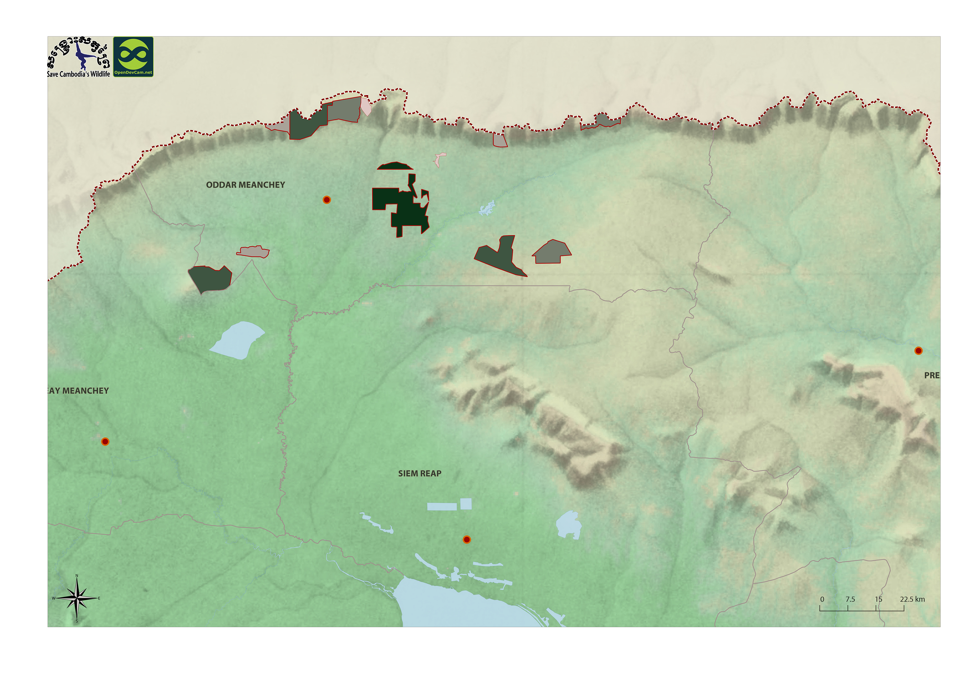
Oddar Meanchey REDD+
Published by: Open Development Cambodia
Data Resources (1)
Data Resource Preview - Oddar Meanchey REDD+
Additional Info
| Field | Value |
|---|---|
| Dataset topic category |
|
| Language |
|
| Dataset reference date | June 19, 2014 |
| GeoNames |
|
| Positional Accuracy | There are no known issues with accuracy. |
| Logical Consistency | There are no known issues with logical consistency. |
| Completeness | There are no known issues with completeness. |
| Process Step | "Data were provided to Open Development Cambodia directly by Save Cambodia's Wildlife's 2013 Atlas Working Group in JPEG format. |
| Lineage | Pact Cambodia (2013) http://www.pactcambodia.org/ Aruna Technology Ltd. http://arunatechnology.com |
| Responsible party | Save Cambodia's Wildlife (SCW), info@cambodiaswildlife.org, +855 23 88 20 35, http://cambodiaswildlife.org, 6Eo St.570, Sangkat Boeung Kak 2, Khan Tuol Kork, Phnom Penh, Cambodia. |
| Metadata creator information | Save Cambodia's Wildlife (SCW), info@cambodiaswildlife.org, +855 23 88 20 35, http://cambodiaswildlife.org, 6Eo St.570, Sangkat Boeung Kak 2, Khan Tuol Kork, Phnom Penh, Cambodia. |
| License | CC-BY-4.0 |
| Copyright | No |
| Version | 1.0 |
| Date uploaded | December 6, 2015, 19:15 (UTC) |
| Date modified | June 13, 2018, 01:49 (UTC) |