Fisheries resource management information
Apivat Teuk Baong Aurchrow
Create Map

-

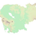
 Georelief
 -

 Hillshade
 -

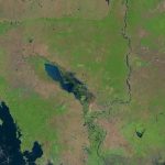
 Landsat
LEGEND
Community fisheries
Community Fisheries boundaries.
Fish Sanctuaries
Fish sanctuaries allotments.
Flooded Forest
Data represents the boundary of the flooded forest within the Tonle Sap Lake.
 Open Development Cambodia (ODC) | https://opendevelopmentcambodia.net/profiles/fisheries-conservation-areas/
Created date: 5 Feb 2026
f_cfi_760
| Area name | Apivat Teuk Baong Aurchrow |
| Size in hectare | 154 |
| Province | Koh Kong |
| District | Srae Ambel |
| Commune | Boeng Preav |
| Category | Community Fishery |
| Region | Marine fishery |
| Issue date | Unknown |
Reference documents
|
List of community fisheries in Cambodia (February 25, 2022)
|
This list shows the names of community fisheries in Cambodia by February 25, 2022. |

