Fisheries resource management information
Koh Rung Sanlem
Create Map

-

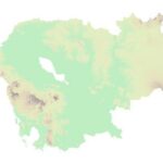
 Georelief
 -

 Hillshade
 -

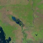
 Landsat
LEGEND
Community fisheries
Community Fisheries boundaries.
Fish Sanctuaries
Fish sanctuaries allotments.
Flooded Forest
Data represents the boundary of the flooded forest within the Tonle Sap Lake.
 Open Development Cambodia (ODC) | https://opendevelopmentcambodia.net/profiles/fisheries-conservation-areas/
Created date: 5 Feb 2026
f_cfi_458
| Area name | Koh Rung Sanlem |
| Size in hectare | 11,257 |
| Province | Preah Sihanouk |
| District | Not found |
| Commune | Not found |
| Category | Community Fishery |
| Region | Marine fishery |
| Issue date | Unknown |
Reference documents
|
Koh Roung Saloem and Koh Kon Marine Environmental Assessment
|
Report on Marine Resources and Habitats Marine Conservation Cambodia for Fisheries Administration: Department of Conservation. A total of 49 sites have been surveyed by the MCC Research Team between February and April 2011 using the Reef Check methodology. Results of this study indicate that at the 49 sites surveyed, the overall hard coral cover on the fringing reefs surrounding these islands is around 13%. |

