Fisheries resource management information
Bar Lord Fish Sanctuary
Create Map

-

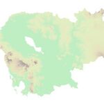
 Georelief
 -

 Hillshade
 -

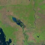
 Landsat
LEGEND
Community fisheries
Community Fisheries boundaries.
Fish Sanctuaries
Fish sanctuaries allotments.
Flooded Forest
Data represents the boundary of the flooded forest within the Tonle Sap Lake.
 Open Development Cambodia (ODC) | https://opendevelopmentcambodia.net/profiles/fisheries-conservation-areas/
Created date: 22 Dec 2025
f_fs_77
| Area name | Bar Lord Fish Sanctuary |
| Size in hectare | 1,777 |
| Province | Kampong Thom |
| District | Not found |
| Commune | Not found |
| Category | Fish Sanctuary |
| Region | Inland fishery |
| Issue date | Unknown |
Reference documents
|
Cambodia National Report on Protected Areas and Development
|
90% percent of Cambodia’s 12.8 million people live and derive income from the floodplain lowland in the centre and South of Cambodia, which occupies less than 30% of the country. Most protected areas are relatively isolated and located in areas of low population density. The significant exceptions are the protected areas on the western border of the country in provinces with high populations densities largely due to recent immigration and the protected areas within Siem Reap Province, including parts of the Tonle Sap Multiple Use Area. |

