Environment and natural resources
Environmental and biodiversity protection
ODC launches Forest Disturbance Alert Platform to strengthen accessible forest monitoring in Cambodia
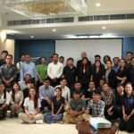
On 24 June 2026, Open Development Cambodia (ODC), with support from Norwegian People’s Aid (NPA), Global Forest Watch (GFW), and Heinrich Böll Stiftung Cambodia (HBS), officially launched the Forest Disturbance Alert Platform under the theme “Promoting accessible forest monitoring and alerts in Cambodia.” The event ...
Technical Mapping Meet-up highlights innovations in agriculture mapping, conservation technology, and forest disturbance monitoring
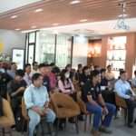
Open Development Cambodia (ODC) successfully organized the Technical Mapping Meet-up on 22 May 2026 in Phnom Penh. The event brought together 47 participants (16 women and 2 indigenous people) Geographic Information System (GIS) professionals, researchers, conservation practitioners, government, civil society organizations, students, and technology enthusiasts ...
Strengthening public access to Environmental Impact Assessment (EIA) in Cambodia
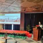
Access to Environmental Impact Assessment (EIA) information remains limited for many communities and stakeholders in Cambodia, despite the growing number of large-scale investment and infrastructure projects across the country. To support greater transparency and public access to environmental information, Open Development Cambodia (ODC) presented its ...
Technical Mapping Meet-up: Strengthening knowledge on forest cover mapping and remote sensing
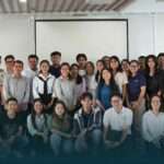
On 20 March 2026, a Technical Mapping Meet-up was successfully organized, bringing together 37 participants (including 19 females) from diverse backgrounds, including GIS practitioners, government representatives, researchers, students, and mapping enthusiasts.The event provided a collaborative platform to exchange knowledge and practical experiences related to forest ...
Co-designing community-friendly forest monitoring tool: Highlights from stakeholder consultation
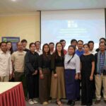
Open Development Cambodia Organization (ODC) conducted a Stakeholder Consultation on Co-Designing Community-Friendly Forest Monitoring Tool on 18 December 2025 with a total of 25 participants. This consultation aims to gather insights on the Forest Dis from civil society organizations (CSOs), community-based organization (CBOs), and community ...
GIS training for improved natural resources management in Cambodia
The fundamental GIS training was successfully conducted at ODC office, Phnom Penh, from 03 to 05 February 2020. A number of civil society organizations have been invited to join this three-day training. Those organizations include Build Community Voice (BCV), People Center for Development and Peace ...

