ជំនួបបច្ចេកទេសស្តីពីការធ្វើផែនទី បានប្រមូលផ្តុំអ្នកធ្វើការលើវិស័យផែនទីរួមគ្នាចែករំលែកចំណេះដឹងអំពីការអភិរក្សតំបន់ដីសើម និងការតាមដានព្រៃឈើ
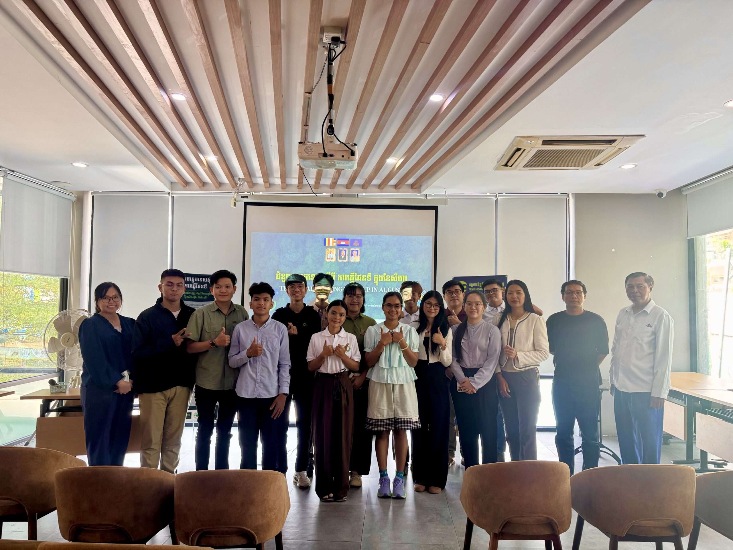
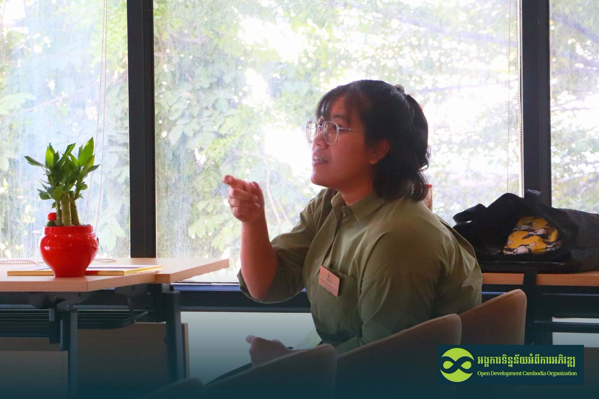
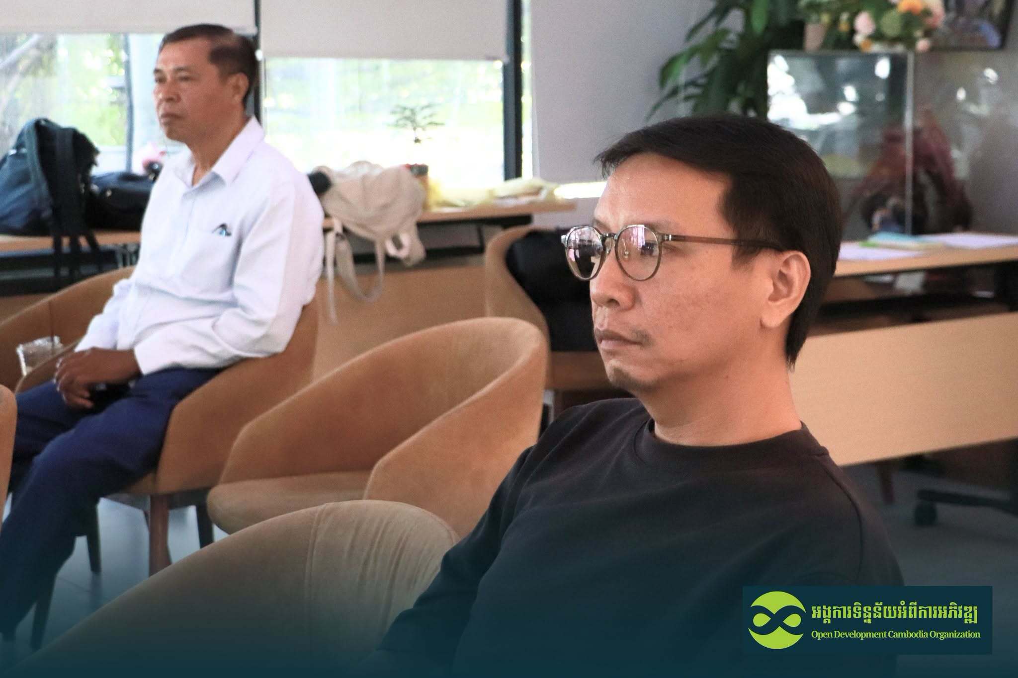
អង្គការទិន្នន័យអំពីការអភិវឌ្ឍ (អូឌីស៊ី) បានរៀបចំ «ជំនួបបច្ចេកទេសស្តីពីការធ្វើផែនទី» នៅថ្ងៃទី ២១ ខែសីហា ឆ្នាំ ២០២៦ នៅ Hobby Café and Restaurant ក្នុងរាជធានីភ្នំពេញ។ ជំនួបនេះមានអ្នកចូលរួមចំនួន ១៥ នាក់ (ស្ត្រី ៥ នាក់) រួមមាន អ្នកអនុវត្តការងារផែនទី អ្នកស្រាវជ្រាវ បុគ្គលិកគម្រោង តំណាងសហគមន៍ និងអ្នកចាប់អារម្មណ៍លើបច្ចេកវិទ្យាភូមិសាស្ត្រ ដើម្បីផ្លាស់ប្តូរចំណេះដឹង និងបទពិសោធន៍ជាក់ស្តែងក្នុងការប្រើប្រាស់ផែនទី និងទិន្នន័យភូមិសាស្ត្រ។ ជំនួបបច្ចេកទេសនេះបានផ្តល់ជាវេទិកាទៀងទាត់សម្រាប់អ្នកចូលរួមក្នុងការរៀនសូត្រពីគ្នាទៅវិញទៅមក ស្វែងយល់អំពីឧបករណ៍ផែនទីជាក់ស្តែង និងពង្រឹងបណ្តាញបច្ចេកទេសរវាងស្ថាប័ន និងបុគ្គលដែលធ្វើការពាក់ព័ន្ធនឹងទិន្នន័យភូមិសាស្ត្រ។
ស្វែងយល់ពីតួនាទីទិន្នន័យផ្កាយរណបក្នុងការអភិរក្សតំបន់ដីសើម
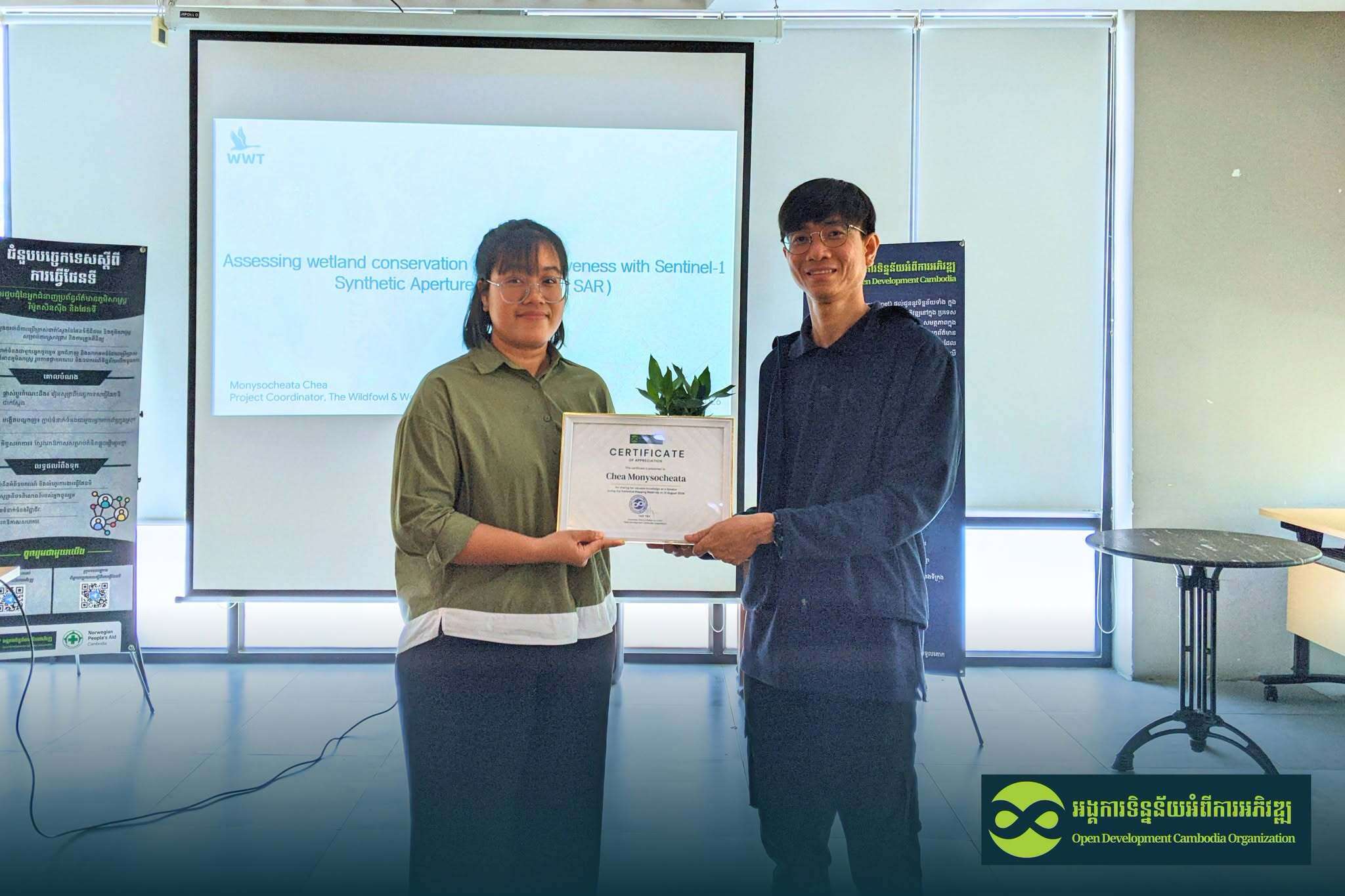
វគ្គបច្ចេកទេសទីមួយត្រូវបានធ្វើបទបង្ហាញដោយលោកស្រី ជា មុនីសុជាតា ដែលជាអ្នកសម្របសម្រួលគម្រោងនៅអង្គការ WWT កម្ពុជា បានធ្វើបទបង្ហាញនៅវគ្គបច្ចេកទេសទីមួយ និងបានចែករំលែកការស្រាវជ្រាវរបស់លោកស្រីក្រោមប្រធានបទ «ការវាយតម្លៃប្រសិទ្ធភាពនៃសកម្មភាពអភិរក្សតំបន់ដីសើម ដោយប្រើទិន្នន័យ Sentinel-1 Synthetic Aperture Radar (SAR)»។ បទបង្ហាញបានណែនាំអំពីសារៈសំខាន់របស់តំបន់ដីសើម និងតួនាទីរបស់វាក្នុងការគាំទ្រជីវចម្រុះ ការគ្រប់គ្រងទឹកជំនន់ ការបន្សុទ្ធទឹក ការគាំទ្រផលិតកម្មស្បៀងអាហារ និងជីវភាពរស់នៅ ព្រមទាំងការឆ្លើយតបទៅនឹងការប្រែប្រួលអាកាសធាតុ។ ការពិភាក្សាបានបង្ហាញថា តំបន់ដីសើមជាច្រើននៅកម្ពុជាផ្តល់អត្ថប្រយោជន៍សំខាន់ៗដល់សហគមន៍មូលដ្ឋាន ខណៈការស្រាវជ្រាវ និងការកត់ត្រាព័ត៌មានអំពីប្រព័ន្ធអេកូឡូស៊ីតំបន់ដីសើមនៅមានកម្រិតនៅឡើយ។
លោកស្រី មុនីសុជាតា ក៏បានណែនាំអំពី តំបន់ការពារទេសភាពបឹងព្រែកល្ពៅ ដែលជាតំបន់ដីសើមដ៏សំខាន់មួយ ទ្រទ្រង់ប្រភេទសត្វស្លាបជាង ១២០ ប្រភេទ និងត្រីប្រមាណ ១៣០ ប្រភេទ។ តំបន់នេះផ្តល់សេវាកម្មប្រព័ន្ធអេកូឡូស៊ីជាច្រើន ដូចជា ការគ្រប់គ្រងទឹកជំនន់ ជម្រកសត្វព្រៃ ការចម្រោះទឹក កសិកម្ម ជលផល និងការផលិតស្បៀងអាហារ។ បទបង្ហាញបានផ្តោតជាពិសេសលើការស្តារទីជម្រកវាលស្មៅ និងបានបង្ហាញពីវិធីសាស្ត្រស្តារជាច្រើន រួមមាន ការបន្ថយកម្ពស់ដី ការបិទឬបំពេញប្រឡាយបង្ហូរទឹក ការសាងសង់ទំនប់ និងទំនប់តូចៗ ព្រមទាំងការបង្កើតអាងទឹក។
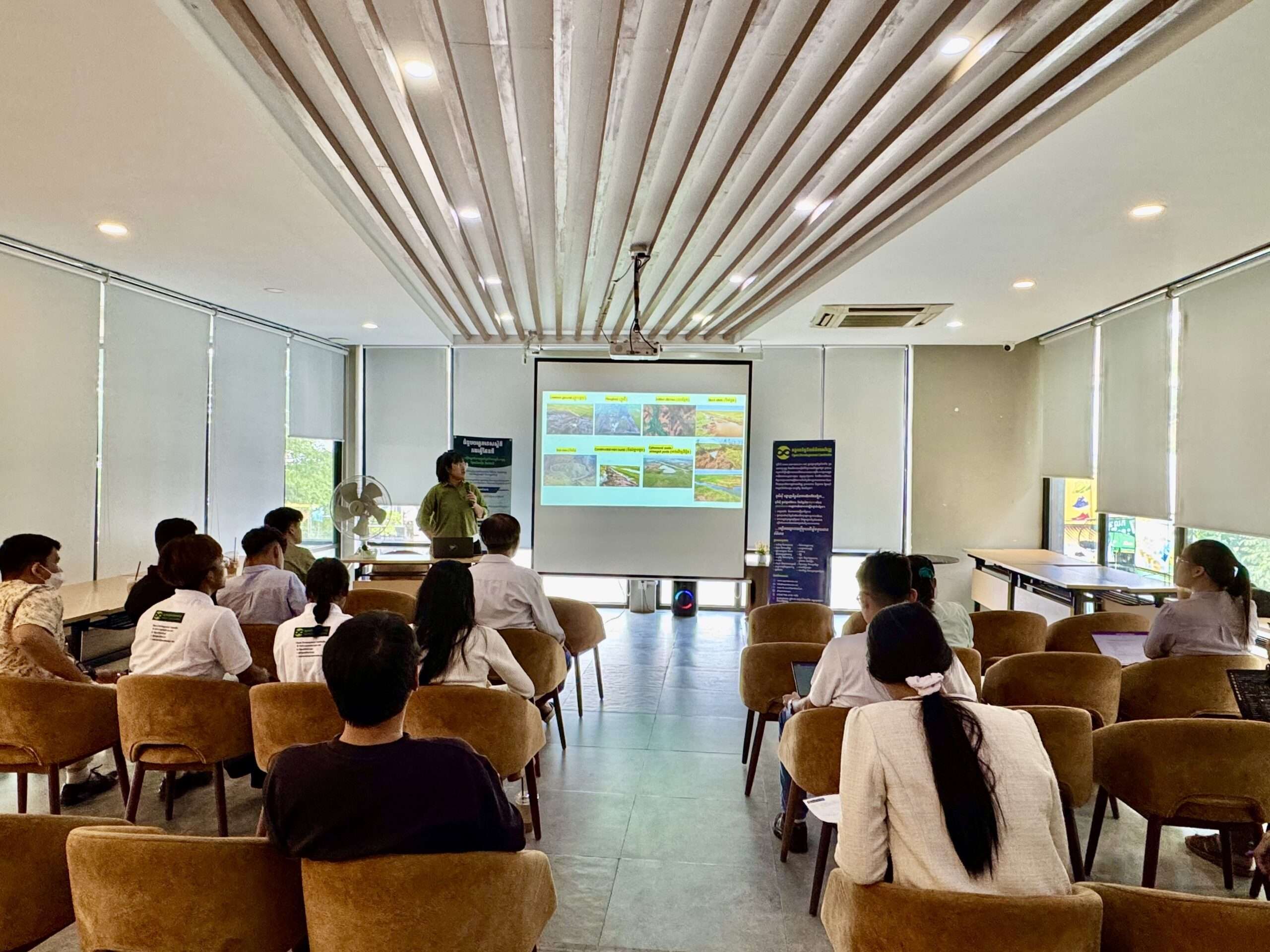
អ្នកចូលរួមត្រូវបានណែនាំអំពីការប្រើប្រាស់ទិន្នន័យ Sentinel-1 Synthetic Aperture Radar (SAR) រួមជាមួយទិន្នន័យទឹកក្រោមដី ម៉ូដែលកម្ពស់ឌីជីថល (DEM) និងទិន្នន័យទឹកភ្លៀង ដើម្បីគាំទ្រការស្រាវជ្រាវតំបន់ដីសើម និងវាយតម្លៃប្រសិទ្ធភាពនៃសកម្មភាពអភិរក្ស។ លទ្ធផលបានបង្ហាញថា រូបភាព SAR និងទិន្នន័យទឹកក្រោមដីអាចផ្តល់ព័ត៌មានមានប្រយោជន៍សម្រាប់ការតាមដាន និងការស្រាវជ្រាវ ដោយកម្រិតប្រសិទ្ធភាពអាចខុសគ្នាទៅតាមតំបន់សិក្សា។
វគ្គនេះក៏បានបង្កើតការពិភាក្សាអំពីការគំរាមកំហែងសំខាន់ៗចំពោះតំបន់ដីសើម រួមមាន ការបាត់បង់តំបន់ដីសើម ប្រភេទសត្វនិងរុក្ខជាតិរាតត្បាត ការបំពុល និងផលប៉ះពាល់ពីសកម្មភាពមនុស្ស។ អ្នកចូលរួមបានពិភាក្សាអំពីតម្រូវការក្នុងការផ្តល់អាទិភាពដល់តំបន់ដីសើមដែលមានសារៈសំខាន់សម្រាប់ជម្រកសត្វព្រៃ និងប្រភេទសត្វកម្រនានា ព្រមទាំងពង្រឹងការស្រាវជ្រាវ និងការយល់ដឹងរបស់សាធារណជនអំពីការអភិរក្សតំបន់ដីសើម។
បទបង្ហាញអំពីការជូនដំណឹងអំពីការរំខានព្រៃឈើ
វគ្គទីពីរត្រូវបានធ្វើបទបង្ហាញដោយលោក សំអាន ម៉ារឌី ប្រធានគ្រប់គ្រងផ្នែកព័ត៌មានវិទ្យា និងគេហទំព័រនៃអង្គការអូឌីស៊ី ដែលបានបង្ហាញអំពីការជូនដំណឹងអំពីការរំខានព្រៃឈើ បន្ទាប់ពីទំព័រព័ត៌មានទិន្នន័យនេះត្រូវបានដាក់ឱ្យប្រើប្រាស់។ បទបង្ហាញបានណែនាំអ្នកចូលរួមអំពីរបៀបប្រើប្រាស់ទំព័រព័ត៌មានអំពីការរំខានព្រៃឈើ និងការបញ្ជូនការជូនដំណឹងតាមតេឡេក្រាម។ អ្នកប្រើប្រាស់អាចចូលទៅកាន់វេទិកាតាមរយៈគេហទំព័រអូឌីស៊ី ជ្រើសរើសទីតាំង មើលព័ត៌មានតាមកាលបរិច្ឆេទ និងស្វែងរកទីតាំងដែលបានរាយការណ៍អំពីការរំខានព្រៃឈើតាមរយៈផែនទីអន្តរកម្ម។
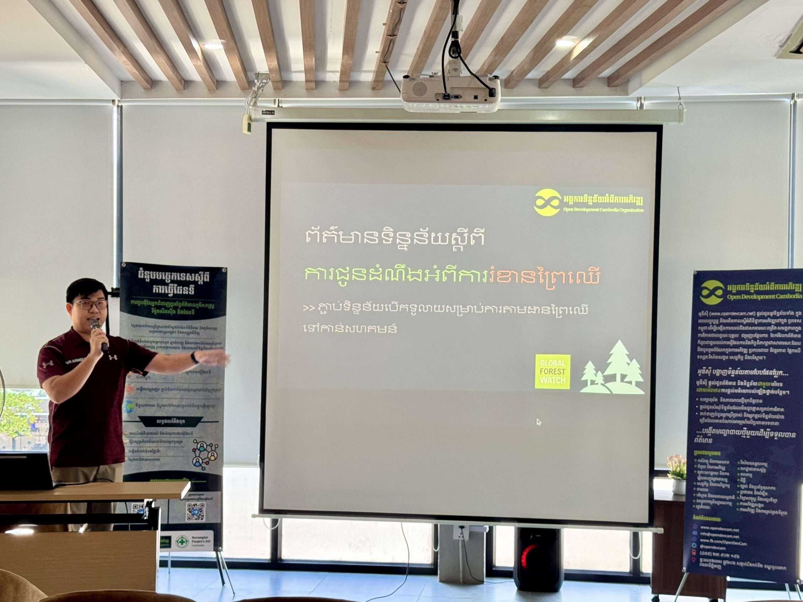
បច្ចុប្បន្ន វេទិកានេះគាំទ្របណ្តាញតេឡេក្រាមសហគមន៍ចំនួន ៣១ បណ្តាញ សម្រាប់តំបន់ការពារចំនួន ៧ និងបណ្តាញទូទាំងប្រទេសចំនួន ១។ អ្នកប្រើប្រាស់អាចចូលរួមបណ្តាញដែលពាក់ព័ន្ធ ដើម្បីទទួលបានការជូនដំណឹងអំពីការរំខានព្រៃឈើនៅក្នុងតំបន់ដែលខ្លួនចាប់អារម្មណ៍។ ចំណុចសំខាន់មួយដែលបានពិភាក្សាក្នុងវគ្គនេះ គឺតួនាទីរបស់សហគមន៍ក្នុងការផ្ទៀងផ្ទាត់ទីតាំងដែលបានរាយការណ៍។ អ្នកចូលរួមត្រូវបានរំលឹកថា ការជូនដំណឹងពីប្រព័ន្ធគួរត្រូវបានចាត់ទុកជាព័ត៌មានបឋម ហើយការចុះពិនិត្យជាក់ស្តែង និងការល្បាតនៅទីតាំង គឺនៅតែមានសារៈសំខាន់ មុនពេលធ្វើការសន្និដ្ឋានអំពីការរំខានដែលបានរាយការណ៍។ អ្នកចូលរួមក៏បានពិភាក្សាផងដែរថា តើទំព័រជូនដំណឹងនេះអាចបញ្ជាក់បានដែរឬទេថា មានមនុស្សចុះទៅដល់ទីតាំង និងបានរាយការណ៍ជាក់ស្តែង។ បច្ចុប្បន្ន មុខងារនេះមិនទាន់មាននៅឡើយទេ ហើយអាចជាចំណុចមួយសម្រាប់ពិចារណាក្នុងការអភិវឌ្ឍប្រព័ន្ធនាពេលអនាគត។
ការបង្ហាញជាក់ស្តែង និងការចូលរួមរបស់អ្នកចូលរួម
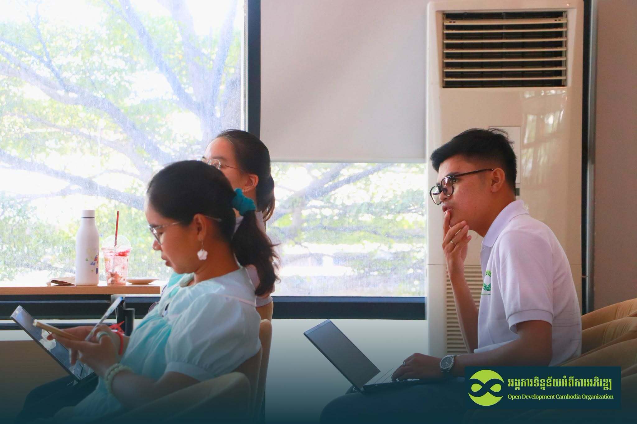
ជំនួបបច្ចេកទេសស្តីពីការធ្វើផែនទី បានរួមបញ្ចូលការបង្ហាញជាក់ស្តែងអំពីទំព័រជូនដំណឹងអំពីការរំខានព្រៃឈើតាមរយៈគេហទំព័រអូឌីស៊ី និងតេឡេក្រាម។ អ្នកចូលរួមបានប្រើប្រាស់ទូរសព្ទដៃរបស់ខ្លួន ដើម្បីស្វែងរកទំព័រព័ត៌មាន និងសាកល្បងមុខងារផ្សេងៗដោយផ្ទាល់។ អ្នកចូលរួមក៏ត្រូវបានណែនាំអំពី Google Maps KML files និង Google Earth ដែលជាឧបករណ៍គាំទ្រសម្រាប់មើល និងចែករំលែកព័ត៌មានភូមិសាស្ត្រ។ ការបង្ហាញក៏បានណែនាំអំពី Global Forest Watch (GFW) និង Global Nature Watch ដើម្បីផ្តល់ឱកាសឱ្យអ្នកចូលរួមស្វែងយល់អំពីឧបករណ៍បន្ថែម និងសួរសំណួរបច្ចេកទេស។
អ្នកចូលរួមបានលើកឡើងថា ព័ត៌មានអំពីការរំខានព្រៃឈើអាចមានប្រយោជន៍សម្រាប់សហគមន៍ក្នុងការតាមដាន និងការពារព្រៃឈើ។ ទិន្នន័យនេះអាចជួយកំណត់តំបន់ដែលត្រូវការការយកចិត្តទុកដាក់បន្ថែម និងអាចប្រើជាព័ត៌មានគាំទ្រសម្រាប់ការស៊ើបអង្កេត និងការផ្ទៀងផ្ទាត់នៅទីវាល។ ការពិភាក្សាក៏បានសង្កត់ធ្ងន់ថា បច្ចេកវិទ្យា និងការជូនដំណឹងផ្អែកលើទិន្នន័យផ្កាយរណប គួរត្រូវបានប្រើប្រាស់ជាឧបករណ៍បំពេញបន្ថែម មិនមែនជំនួសចំណេះដឹងរបស់សហគមន៍ ការសង្កេតនៅទីវាល និងការផ្ទៀងផ្ទាត់ជាក់ស្តែងនៅទីតាំងនោះទេ។
ការកសាងសហគមន៍អ្នកអនុវត្តការងារផែនទីឱ្យកាន់តែរឹងមាំ
នៅក្នុងជំនួបនេះទាំងមូល អ្នកចូលរួមបានចូលរួមយ៉ាងសកម្មក្នុងការសួរសំណួរ និងពិភាក្សាអំពីការអភិរក្សតំបន់ដីសើម រូបភាពផ្កាយរណប ការតាមដានព្រៃឈើ ទិន្នន័យភូមិសាស្ត្រ និងការប្រើប្រាស់ឧបករណ៍ផែនទីជាក់ស្តែង។ នៅចុងបញ្ចប់នៃជំនួប អ្នកចូលរួមបានបំពេញការវាយតម្លៃ និងត្រូវបានអញ្ជើញឱ្យចូលរួមក្នុងក្រុមតេឡេក្រាម ដើម្បីបន្តផ្លាស់ប្តូរព័ត៌មាន ចែករំលែកឱកាស និងរក្សាទំនាក់ទំនងសម្រាប់សកម្មភាពនាពេលអនាគត។
ក្នុងសុន្ទរកថាបិទកម្មវិធី លោកស្រី អ៊ួន វិមល (ប្រធានគ្រប់គ្រងកម្មវិធី និងភាពជាដៃគូនៃអង្គការអូឌីស៊ី) និងលោក ឡុច កល្យាណ (អ្នកស្រាវជ្រាវទិន្នន័យ និងឯកទេសប្រព័ន្ធព័ត៌មានភូមិសាស្ត្រនៃអង្គការអូឌីស៊ី) បានថ្លែងអំណរគុណដល់អ្នកចូលរួមទាំងអស់ចំពោះការចូលរួមយ៉ាងសកម្ម និងបានលើកទឹកចិត្តដល់អ្នកអនុវត្តការងារផែនទី និងអ្នកដែលចាប់អារម្មណ៍ ឱ្យស្ម័គ្រចិត្តធ្វើជាវាគ្មិនសម្រាប់ជំនួបនេះនាពេលខាងមុខ។
កម្មវិធីបានបញ្ចប់ដោយការថតរូបជាអនុស្សាវរីយ៍ ដែលជាការរួមចំណែកមួយទៀតក្នុងការពង្រឹងសហគមន៍អ្នកអនុវត្តការងារផែនទីនៅកម្ពុជា និងលើកកម្ពស់ការប្រើប្រាស់ទិន្នន័យបើកចំហ បច្ចេកវិទ្យាភូមិសាស្ត្រ និងឧបករណ៍ឌីជីថល សម្រាប់ការស្រាវជ្រាវ ការតាមដាន និងការអភិរក្សបរិស្ថាន។ អង្គការអូឌីស៊ី នឹងរៀបចំជំនួបបច្ចេកទេសស្តីពីការធ្វើផែនទីនៅពេលក្រោយៗទៀត និងបង្កើតឱកាសកាន់តែច្រើនសម្រាប់អ្នកអនុវត្តការងារផែនទី អ្នកស្រាវជ្រាវ សហគមន៍ និងភាគីពាក់ព័ន្ធផ្សេងៗ ដើម្បីរៀនសូត្រ ភ្ជាប់ទំនាក់ទំនង និងសហការគ្នា។

