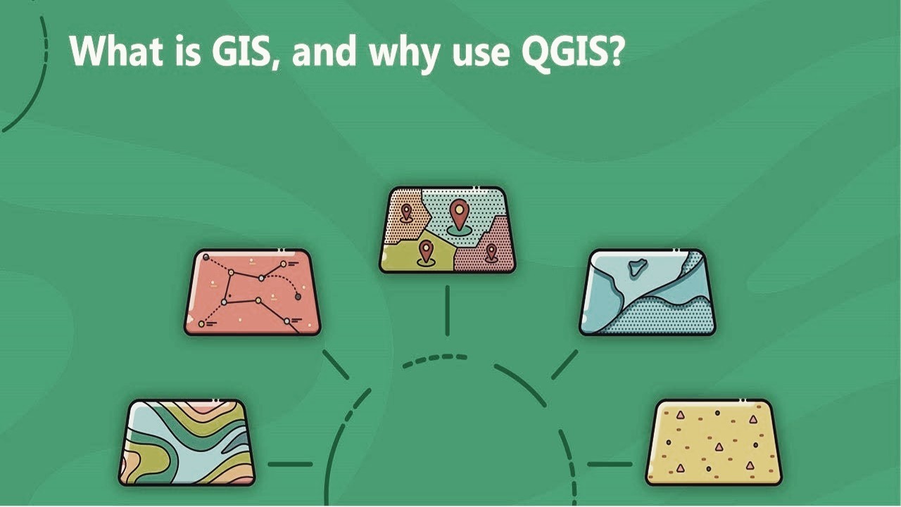
ការបណ្តុះបណ្តាលអំពីប្រព័ន្ធព័ត៌មានភូមិសាស្ត្រ GIS ដើម្បីការគ្រប់គ្រងធនធានធម្មជាតិនៅកម្ពុជាកាន់តែប្រសើរ
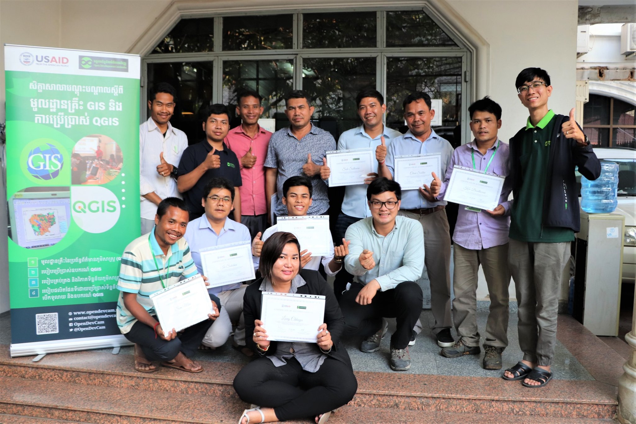
ការបណ្តុះបណ្តាលពីមូលដ្ឋានគ្រឹះនៃប្រព័ន្ធព័ត៌មានភូមិសាស្ត្រ GIS ត្រូវបានធ្វើឡើងដោយជោគជ័យនៅការិយាល័យអង្គការទិន្នន័យអំពីការអភិវឌ្ឍ (អូឌីស៊ី) ដែលមានមូលដ្ឋាននៅរាជធានីភ្នំពេញ ចាប់ពីថ្ងៃទី០៣ដល់០៥ ខែកុម្ភៈ ឆ្នាំ២០២០។ អង្គការសង្គមស៊ីវិលមួយចំនួនត្រូវបានអញ្ជើញដើម្បីចូលរួមក្នុងវគ្គបណ្តុះបណ្តាលរយៈពេល ៣ ថ្ងៃនេះ។ អង្គការទាំងនោះរួមមាន អង្គការអភិវឌ្ឍន៍សំលេងសហគមន៍ (BCV) មជ្ឈមណ្ឌលប្រជាពលរដ្ឋដើម្បីអភិវឌ្ឍន៍ និងសន្តិភាព (PDP Center) អង្គការភូមិខ្ញុំ (MVi) ក្រុមការងារពង្រឹង និងអភិវឌ្ឍន៍សហគមន៍ (CEDT) អង្គការភាពជាដៃគូសង្គមស៊ីវិលកម្ពុជា (CCSP) វិទ្យាស្ថានកម្ពុជាសម្រាប់ការស្រាវជ្រាវ និងអភិវឌ្ឍន៍ជនបទកម្ពុជា (CIRD) និង បណ្តាញការពារទន្លេសេសាន ស្រែពក សេកុង (3SPN) ។ វគ្គបណ្តុះបណ្តាលនេះត្រូវបានប្រមូលផ្តុំដោយសិក្ខាកាមចំនួន ១២រូប ដែលកំពុងធ្វើការយ៉ាងសកម្មលើវិស័យដីធ្លី និងធនធានធម្មជាតិនៅតំបន់ភាគខាងជើងនៃប្រទេសកម្ពុជា ហើយក្នុងចំណោមនោះ សិក្ខាកាម ៣នាក់ មកពីក្រុមជនជាតិដើមភាគតិចព្នង។ សិក្ខាសាលាបណ្តុះបណ្តាលពីឧបករណ៍ផលិតផែនទីនេះត្រូវបានរៀបចំឡើង ដោយមានការគាំទ្រថវិកាសប្បុរសធម៌ពី ទីភ្នាក់ងារសហរដ្ឋអាមេរិកសំរាប់ការអភិវឌ្ឍអន្តរជាតិ (USAID) តាមរយៈ វិទ្យាស្ថានគ្រប់គ្រងបូព៌ា-បស្ចឹម (EWMI) ក្រោម គម្រោងពង្រឹងសមត្ថភាពអង្គការសង្គមស៊ីវិលកម្ពុជា (CCSS)។
គោលបំណងសំខាន់នៃវគ្គបណ្តុះបណ្តាលនេះ គឺដើម្បីផ្តល់ចំណេះដឹងជាមូលដ្ឋានស្តីពីការប្រមូល និងគ្រប់គ្រងប្រព័ន្ធព័ត៌មានភូមិសាស្ត្រផ្សេងៗ វិភាគទីតាំង និងរៀបចំព័ត៌មានដោយប្រើផែនទីដែលវានឹងជួយដោះស្រាយបញ្ហាស្មុគស្មាញនៅក្នុងការងារភូមិសាស្ត្រ។ សិក្ខាកាមទាំងអស់នឹងទទួលបានការយល់ដឹងកាន់តែស៊ីជម្រៅអំពីការប្រើប្រាស់ឧបករណ៍តាមរយៈបទបង្ហាញពីរបៀបប្រើប្រាស់កម្មវិធី QGIS។ អូឌីស៊ីជឿជាក់ថា ការកសាងសមត្ថភាពផែនទីនេះនឹងរួមចំណែកដល់ការអភិវឌ្ឍ និងលើកកម្ពស់ជីវភាពរស់នៅ និងគុណភាពជីវិតរបស់សហគមន៍ ក្រុមជនជាតិដើមភាគតិច និងជាពិសេសការគ្រប់គ្រងធនធានធម្មជាតិប្រកបដោយចីរភាពនៅក្នុងព្រះរាជាណាចក្រកម្ពុជា។
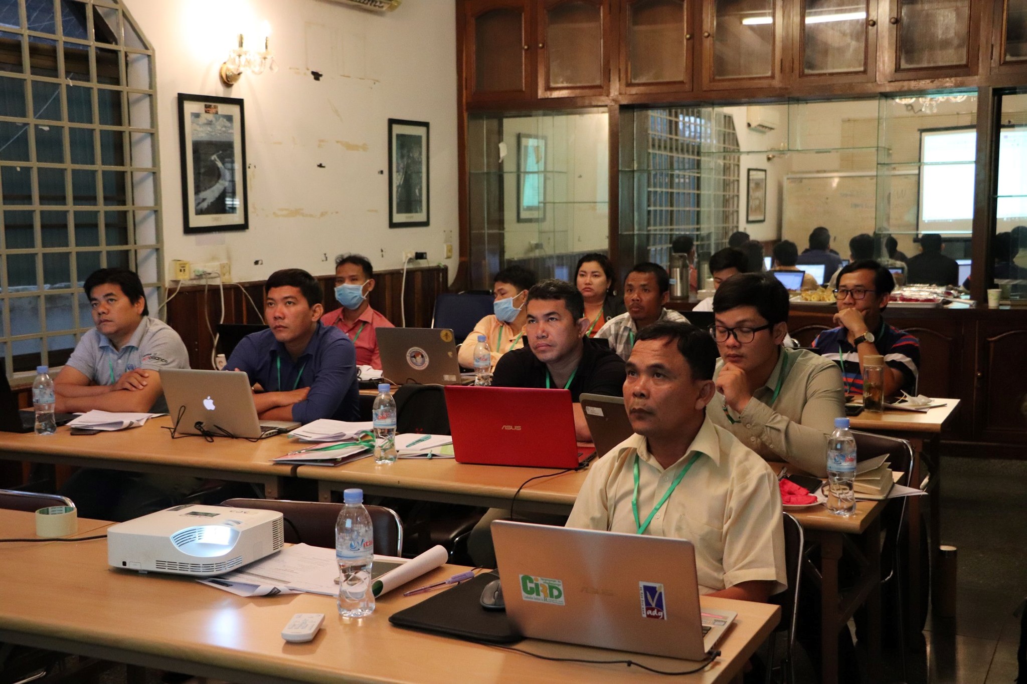
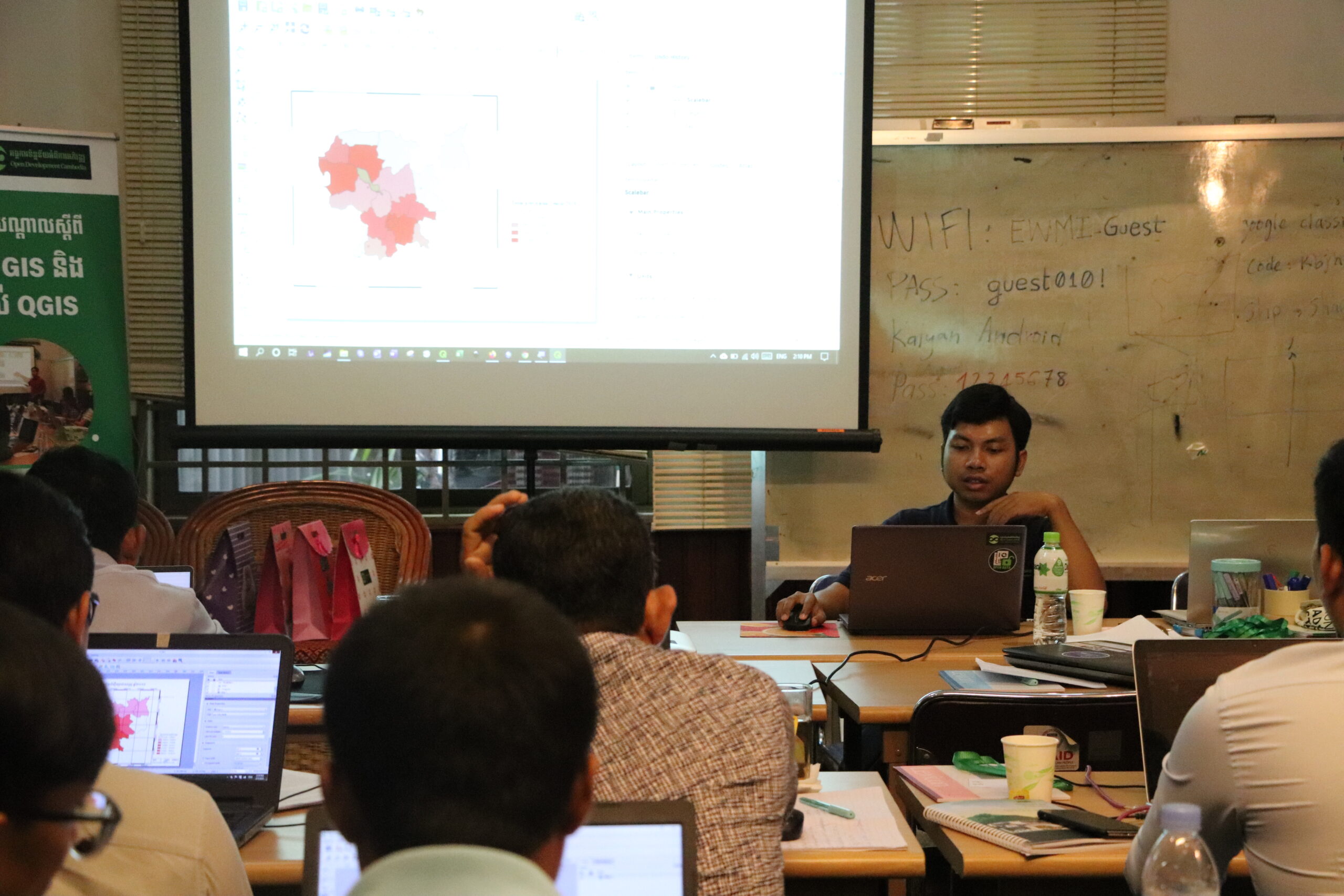
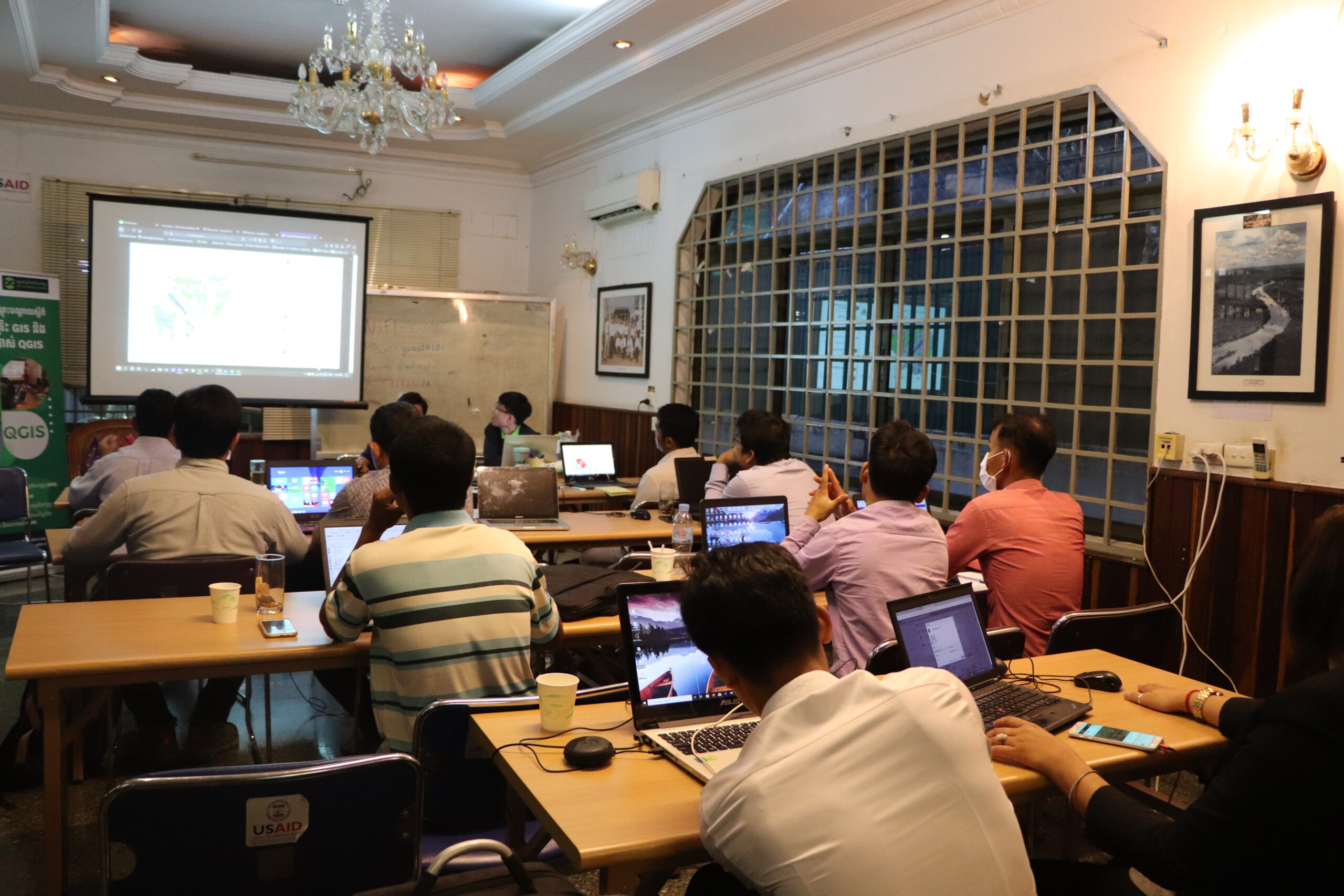
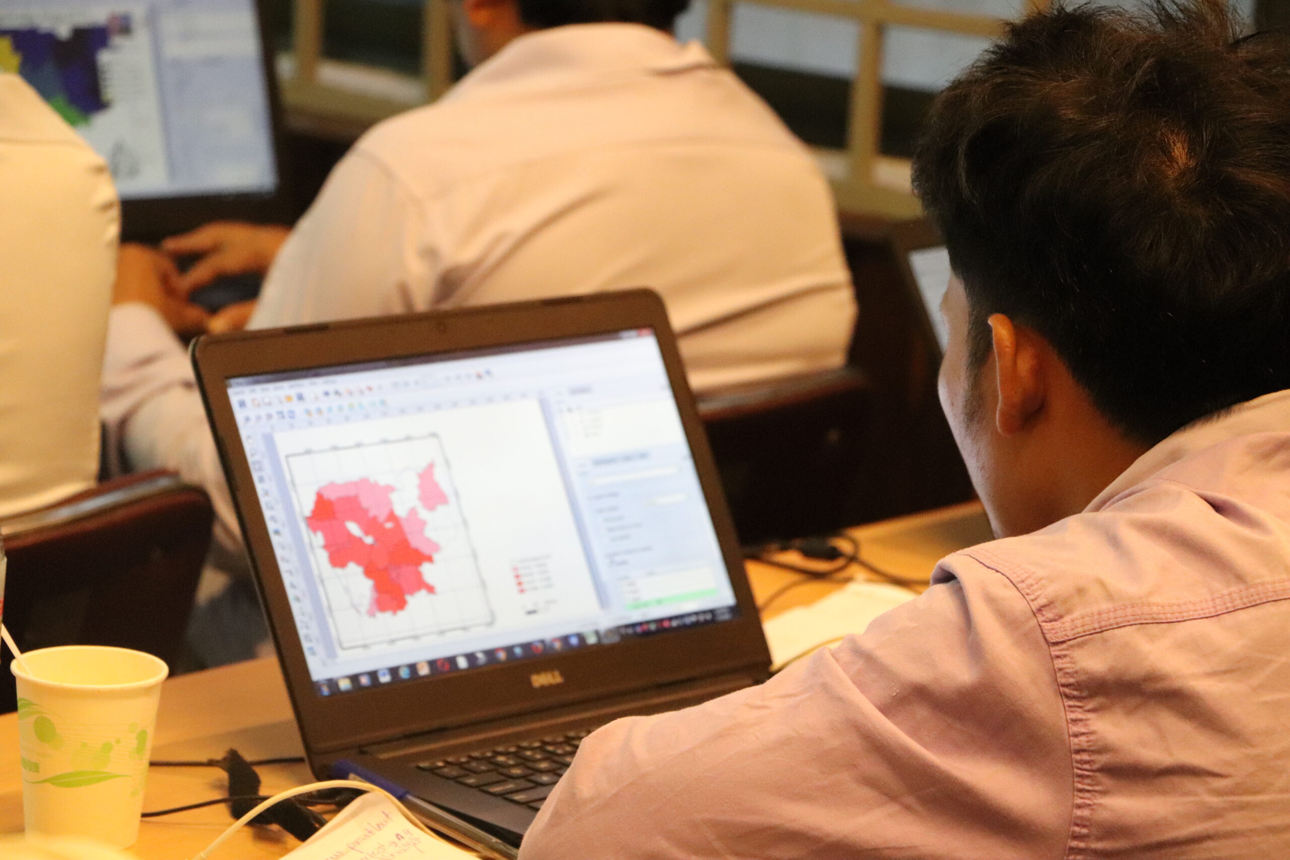
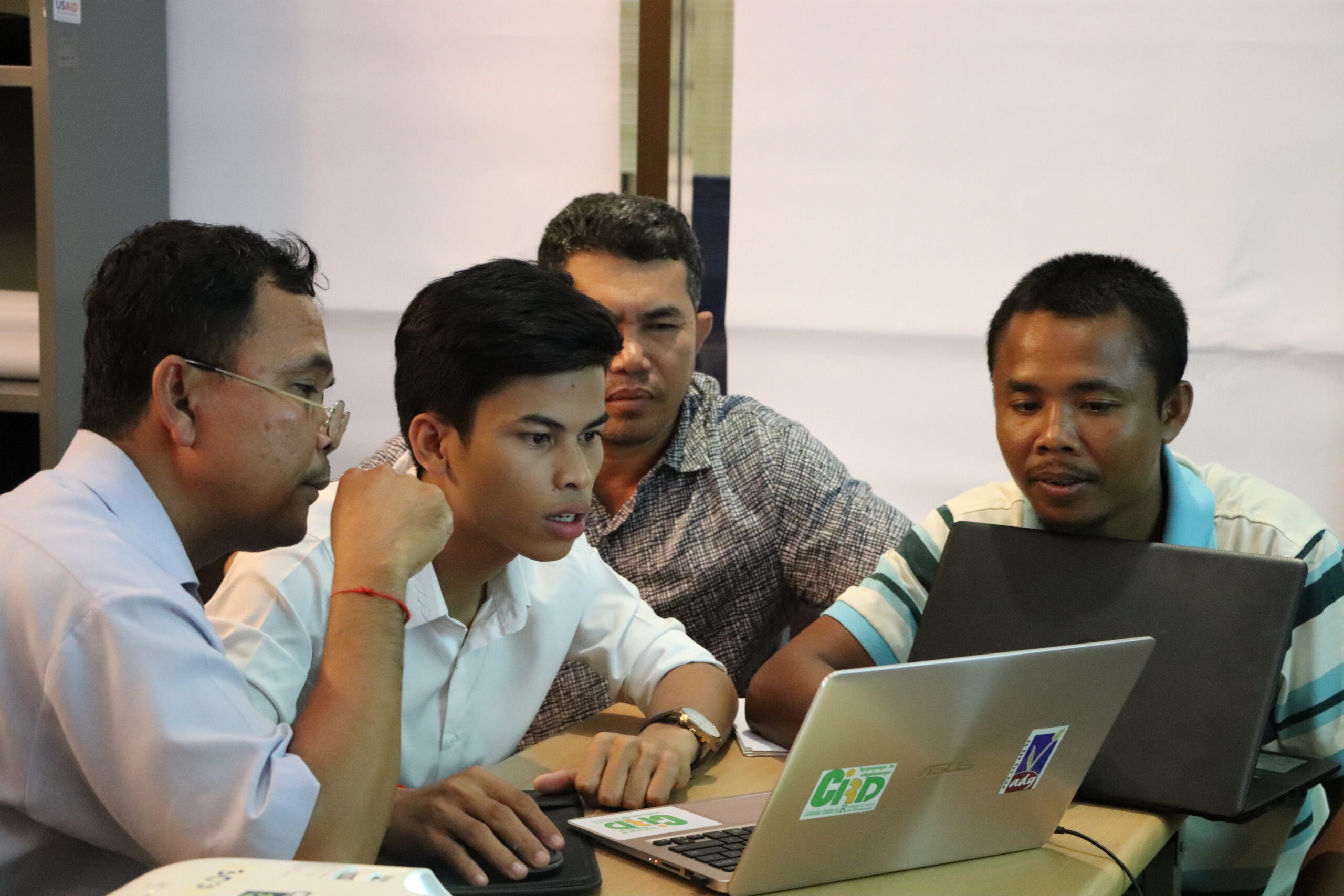
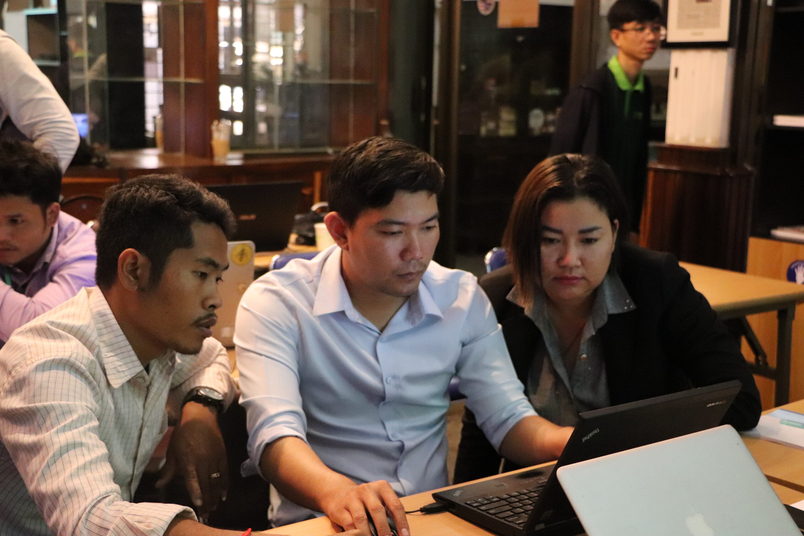

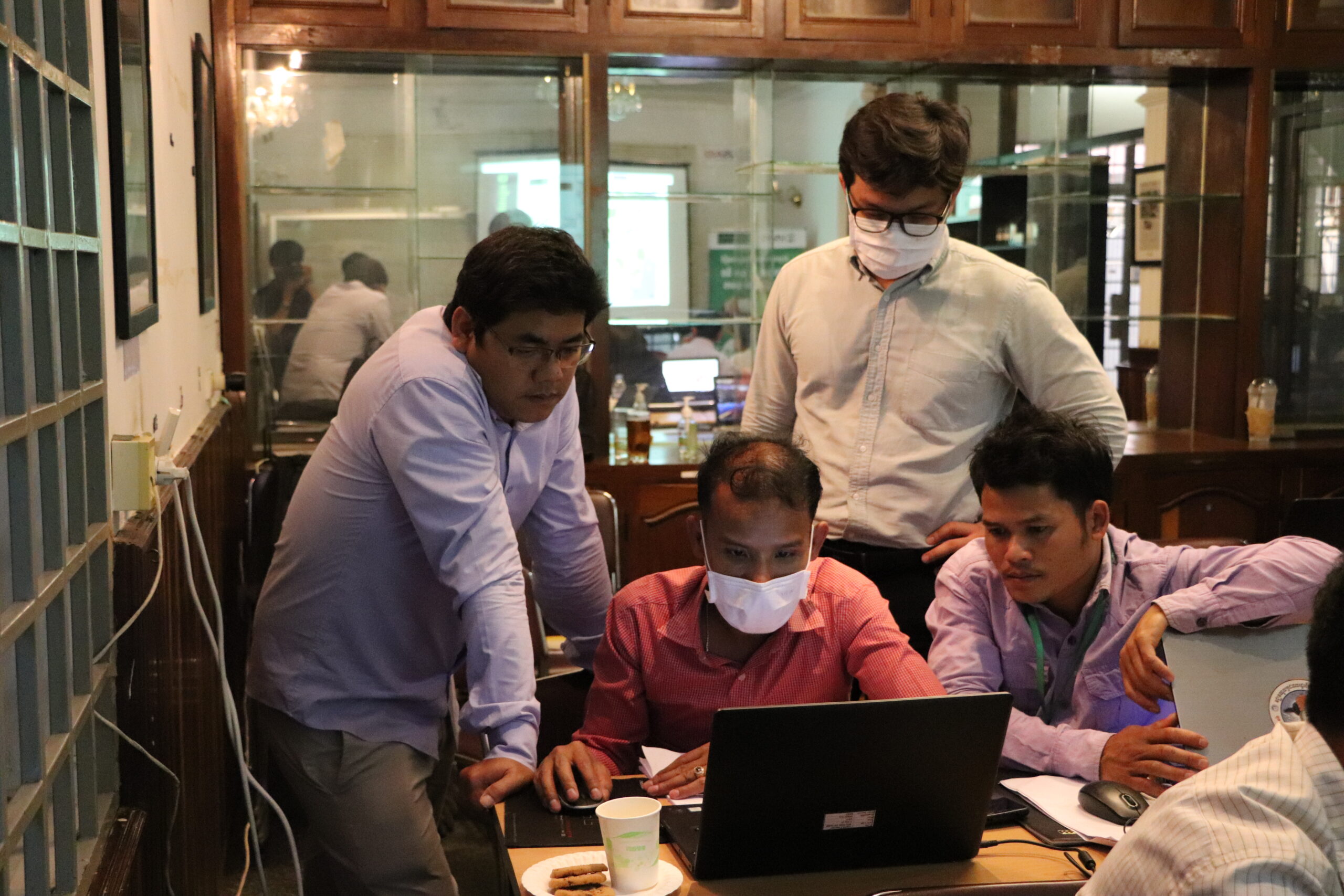
គ្រូបណ្តុះបណ្តាលបានរៀបចំការបង្រៀនតាម Google Classroom សម្រាប់សិក្ខាកាម ដើម្បីតាមដានបច្ចុប្បន្នភាពនៃព័ត៌មាន សម្ភារៈបង្រៀន និងកិច្ចការដែលត្រូវធ្វើទាំងឡាយ ដែលមាននៅក្នុងអំឡុងពេលនៃការបណ្តុះបណ្តាលនេះ។ នៅថ្ងៃដំបូង គ្រូឧទ្ទេសបានផ្តល់ការធ្វើបាឋកថា ពិនិត្យឡើងវិញលើមូលដ្ឋានគ្រឹះនៃGISដល់សិក្ខាកាម ដើម្បីស្វែងយល់អំពីមុខងាររបស់វា និងហេតុអ្វីបានជា GIS មានអត្ថប្រយោជន៍ក្នុងការងារគម្រោងរបស់ពួកគេ ហើយវាមានសារៈសំខាន់យ៉ាងដូចម្តេច។ នៅថ្ងៃទីពីរ ការអនុវត្តជាក់ស្តែងមួយចំនួនត្រូវបានផ្តល់ដល់សិក្ខាកាម ដូចជា របៀបដែលពួកគេអាចនាំទិន្នន័យជាវ៉ិចទ័រ និងទិន្នន័យជាក្រឡាចត្រង្គ (raster) ទៅក្នុងកម្មវិធីQGIS ការរៀបចំទិន្នន័យដែលមានស្លាកសញ្ញា ការដាក់និមិត្តសញ្ញា និងរបៀបតាងទិន្នន័យទាំងនោះដោយធ្វើចំណាត់ថ្នាក់តាមប្រភេទ និងចំណាត់ថ្នាក់តាមលំដាប់។ នៅថ្ងៃចុងក្រោយ សិក្ខាកាមត្រូវបានអនុញ្ញាតឱ្យបង្កើតទិន្នន័យវ៉ិចទ័រ និងប្រើឧបករណ៍Geoprocessing នៅក្នុងកម្មវិធីQGIS ដើម្បីដំណើរការទិន្នន័យតាមតម្រូវការរបស់ពួកគេ ហើយពួកគេក៏បានរៀនពីរបៀបរចនាប្លង់ផែនទីផ្ទាល់ខ្លួនផងដែរ។ សិក្ខាកាមទាំងអស់ត្រូវបានស្នើសុំឱ្យបែងចែកគ្នាជាបីក្រុម ដើម្បីពិភាក្សា និងធ្វើការជាមួយសមាជិកក្រុមរបស់ខ្លួន ដោយប្រើប្រាស់កម្មវិធីQGIS និងទិន្នន័យដែលមាននៅលើគេហទំព័រអូឌីស៊ីដើម្បីរៀបចំប្លង់ផែនទីធនធានធម្មជាតិ។
បញ្ហាប្រឈមត្រូវបានជួបប្រទះនៅគ្រប់ជ្រុងនៃព្រឹត្តិការណ៍វគ្គបណ្តុះបណ្តាលទាំងអស់ ក្នុងនោះរួមមាន ការត្រៀមទុកមុនសម្រាប់វគ្គបណ្តុះបណ្តាល ការបញ្ជ្រាបយេនឌ័រនិងជនជាតិភាគតិច កម្រិតចំណេះដឹង និងបទពិសោធន៍ពីឌីជីថល និងការវាយតម្លៃក្រោយការបណ្តុះបណ្តល។

ការត្រៀមទុកមុនសម្រាប់វគ្គបណ្តុះបណ្តាល៖ បញ្ហាប្រឈមនៅដំណាក់កាលនេះ គឺការរៀបចំសម្ភារៈបណ្តុះបណ្តាល។ កម្មវិធីសិក្សានៃការបណ្តុះបណ្តាលត្រូវបានបង្កើតឡើងដោយចាប់ផ្តើមដំបូងពីលទ្ធផលនិងមតិត្រលប់ពី សិក្ខាសាលាពិគ្រោះយោបល់អ្នកពាក់ព័ន្ធ រហូតមានរៀបចំការវាយតម្លៃមុនវគ្គបណ្តុះបណ្តាល ហើយរបៀបវារៈ និងបទបង្ហាញ ក៏ត្រូវបានពិនិត្យឡើងវិញយ៉ាងប្រុងប្រយ័ត្នជាច្រើនលើកច្រើនសារ ដើម្បីធានាឱ្យបាននូវតម្រូវការ និងឆ្លើយតបទៅនឹងការរំពឹងទុករបស់អ្នកចូលរួម ក្នុងការដាក់បញ្ជូលឧបករណ៍អនុវត្តGIS នៅក្នុងស្ថាប័នរបស់ពួកគេ និងក៏ដូចជាការងារអនុវត្តគម្រោងរបស់ពួកគេ។

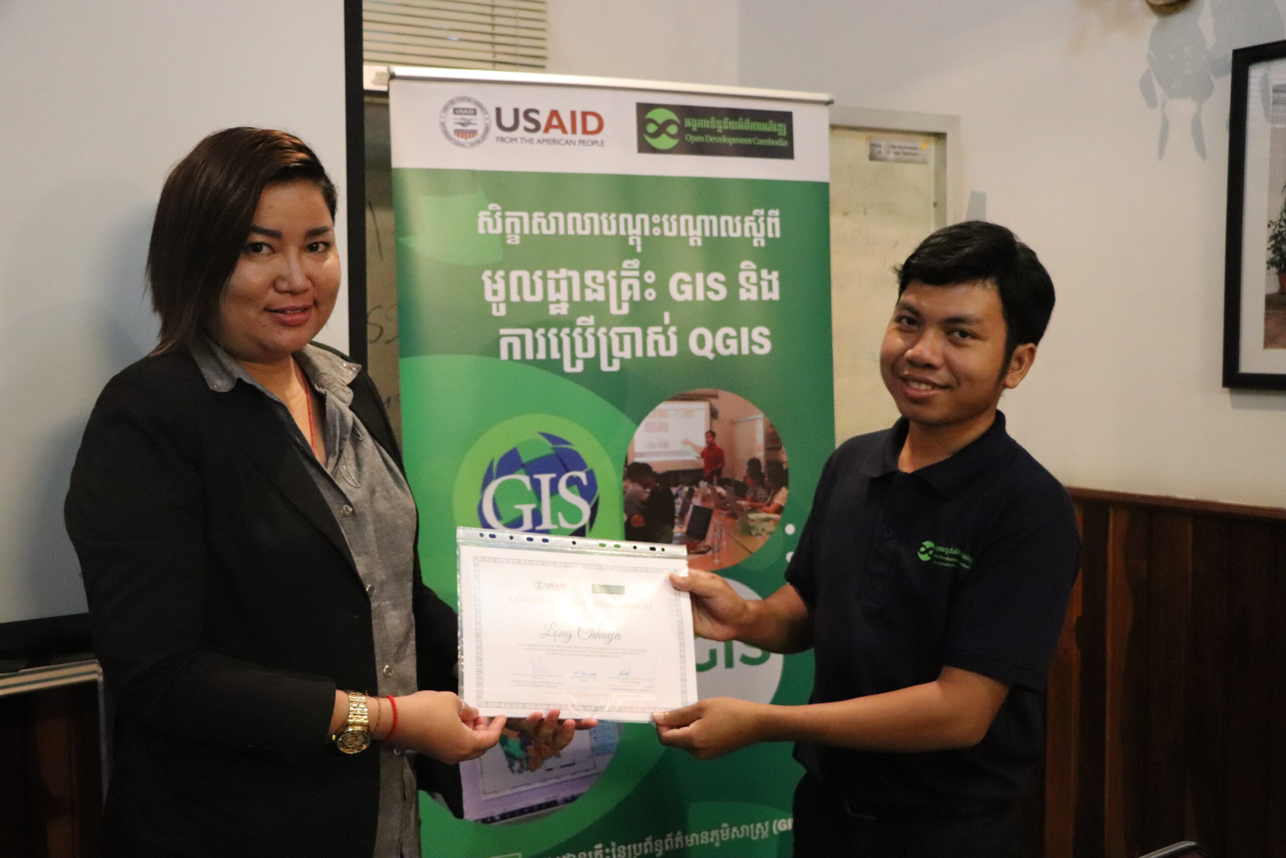
ការបញ្ជ្រាបយេនឌ័រ និងជនជាតិភាគតិច៖ អូឌីស៊ីបានប្តេជ្ញាក្នុងការបញ្ចូលស្ត្រីយ៉ាងតិច ៣០% និង ២០% នៃជនជាតិភាគតិចនៅក្នុងក្រុមគោលដៅ ដើម្បីទទួលបានផលប្រយោជន៍ទៅវគ្គបណ្តុះបណ្តាលនេះ ទោះជាយ៉ាងណា មានតែស្ត្រីតែម្នាក់ និងជនជាតិដើមភាគតិចព្នង ៣នាក់ប៉ុណ្ណោះ ដែលបានចូលរួមវគ្គបណ្តុះបណ្តាលពីឧបករណ៍ផលិតផែនទីនេះ។ បើក្រឡេកមើលពីភាគរយនៃការចូលរួមរបស់ជនជាតិភាគតិច គឺស្មើនឹង ២៥% ដែលនេះជាចំនួនប្រសើរ ប៉ុន្តែការចូលរួមរបស់ស្ត្រីពិតជានៅទាបខ្លាំងនៅឡើយ។
ភាពខុសគ្នានៃកម្រិតចំណេះដឹង និងបទពិសោធន៍អំពីឌីជីថល៖ កម្រិតចំណេះដឹងឌីជីថលខុសគ្នារបស់សិក្ខាកាមម្នាក់ៗ ក៏ជាបញ្ហាប្រឈមគួរឱ្យកត់សម្គាល់បំផុតផងដែរ។ អ្នកចូលរួមខ្លះដែលមានចំណេះដឹងជាមូលដ្ឋានអំពី GISឬQGIS និងមានបទពិសោធន៍ក្នុងការស្រាវជ្រាវដោយខ្លួនឯងលើការប្រើប្រាស់កម្មវិធីកុំព្យូទ័រ មានទំនោររៀនឆាប់ចាប់បានជាងមុន អ្នកដែលមិនបានធ្វើស្វ័យសិក្សាលើការប្រើប្រាស់កម្មវិធីដូចជាQGIS ឬកម្មវិធីកុំព្យួទ័រផ្សេងទៀតពីមុន ហើយពួកគេត្រូវការការគាំទ្របន្ថែមទាំងពេលវេលា និងការណែនាំពីគ្រូបង្វឹក។

ការវាយតម្លៃក្រោយបញ្ចប់វគ្គបណ្តុះបណ្តាល៖ ទោះបីជាការបណ្តុះបណ្តាលបានបញ្ចប់ដោយជោគជ័យក៏ដោយ ការដាក់កិច្ចការអនុវត្តន៍បន្ទាប់ពីការបណ្តុះបណ្តាល ដើម្បីតាមដាននិងវាយតម្លៃសមត្ថភាពរបស់សិក្ខាកាមគឺជាការណ៍ចាំបាច់។ ការប្រគល់កិច្ចការឱ្យសិក្ខាកាមដើម្បីអនុវត្តន៍ដោយខ្លួនឯងបន្ទាប់ពីការបណ្តុះបណ្តាលនេះ ក៏ដើម្បីពួកគេអាចបន្តធ្វើការស្រាវជ្រាវ និងស្វែងយល់បន្ថែមអំពីការប្រើប្រាស់ឧបករណ៍QGIS ដើម្បីសម្រេចការងារជាក់ស្តែងរបស់ពួកគេ។
បច្ចុប្បន្នភាពក្រោយការបណ្តុះបណ្តាល
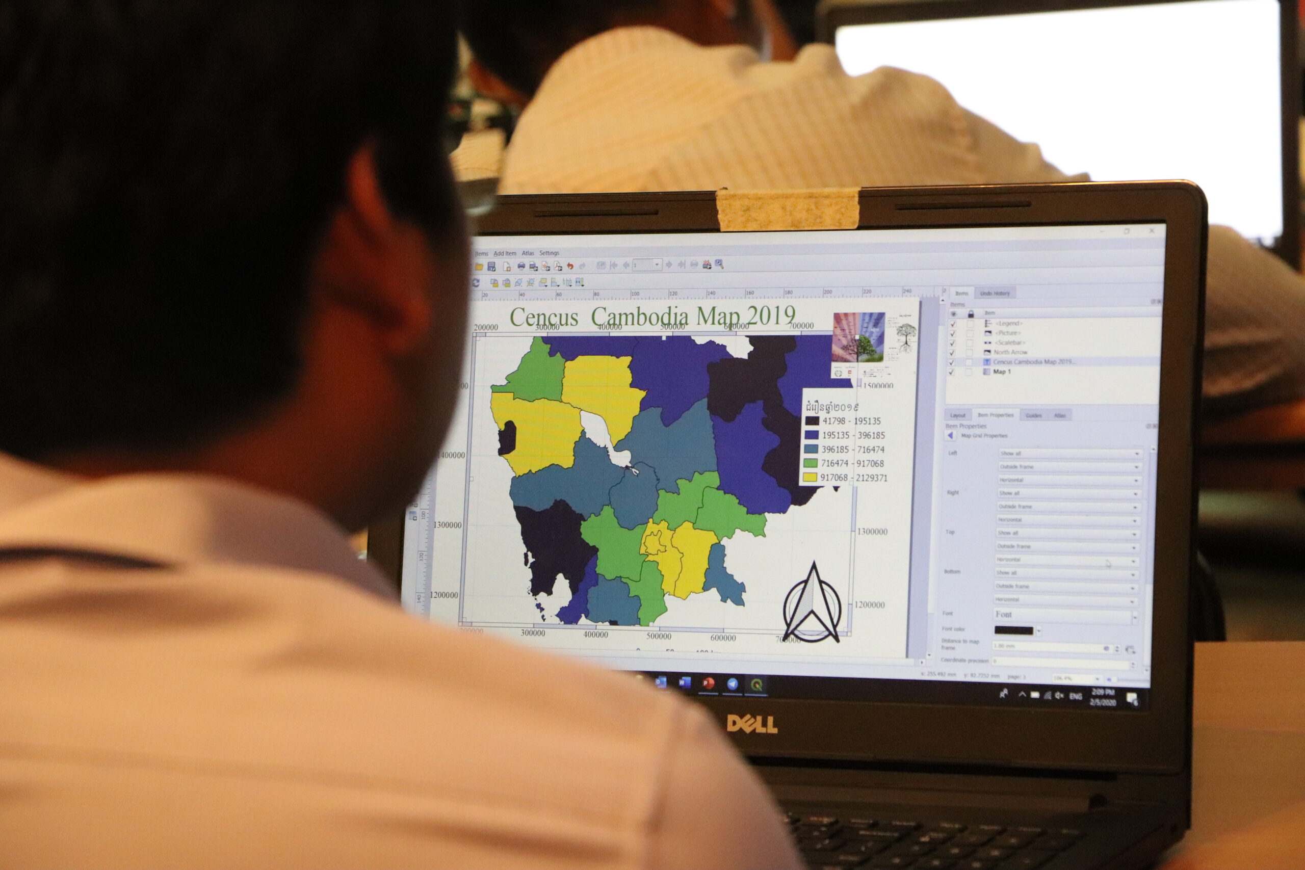
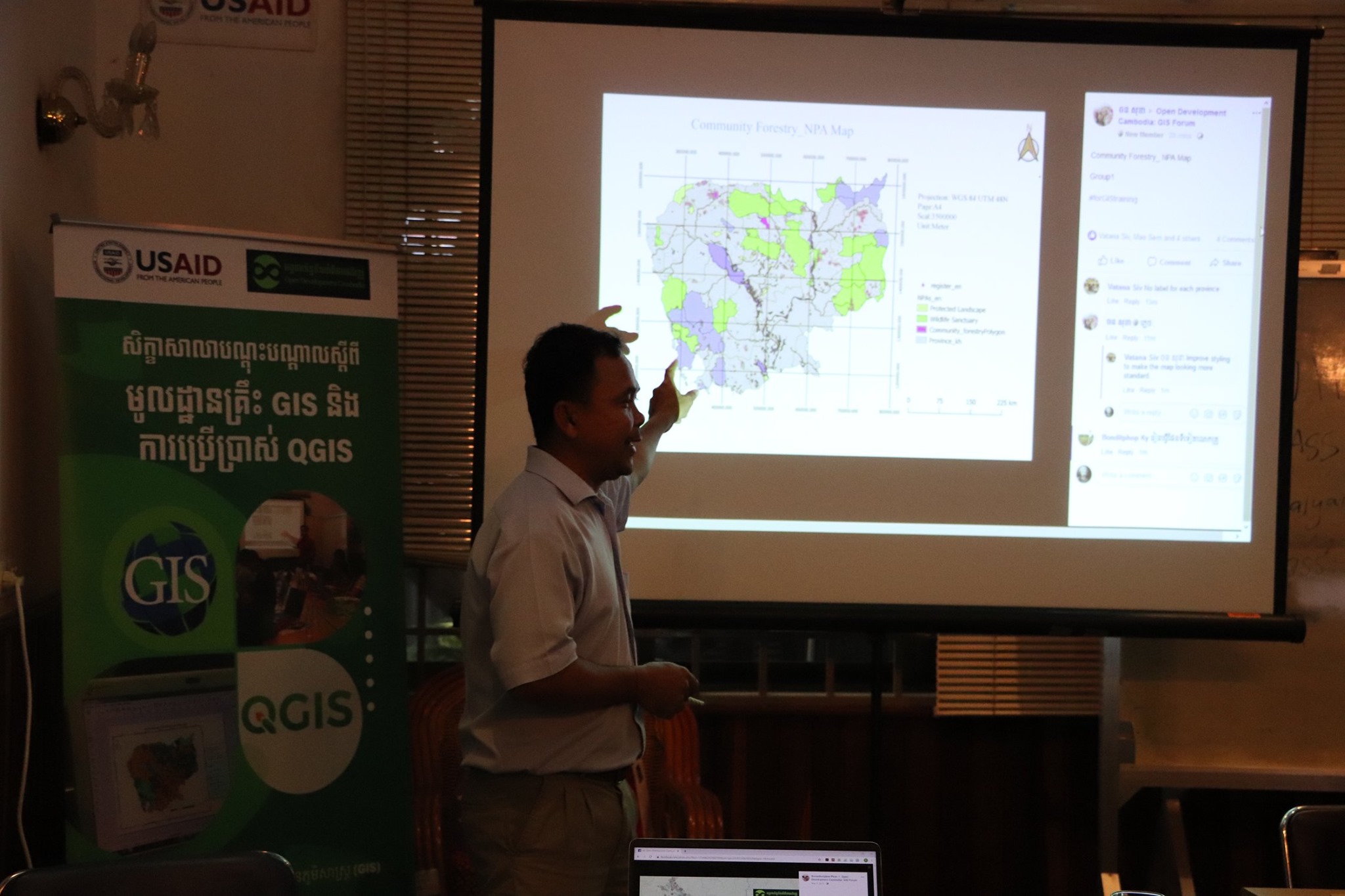
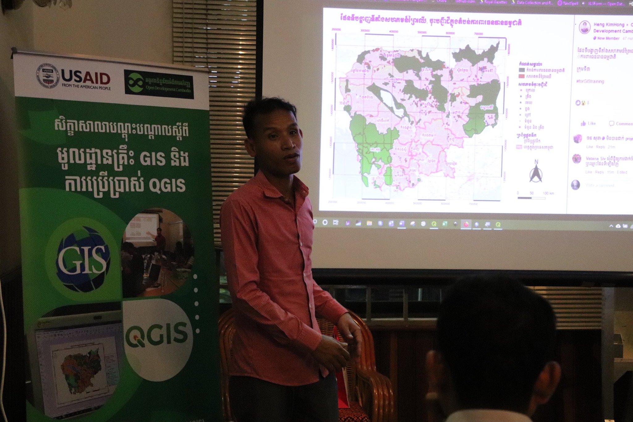
ថ្មីៗនេះ ខណៈពេលដែលសិក្ខាកាមភាគច្រើននៅមិនទាន់មានឱកាសបង្កើតផែនទីដោយខ្លួននៅឡើយ អ្នកមួយចំនួនក្នុងចំនោមពួកគេបានចាប់ផ្តើមបញ្ចូលជំនាញផលិតផែនទីរបស់ខ្លួនទៅក្នុងការងាររបស់ស្ថាប័ន ក៏ដូចជាការអនុវត្តគម្រោងផងដែរ។ សិក្ខាកាមឆ្នើមម្នាក់របស់យើងដែលជាស្ត្រីតែម្នាក់គត់នៅក្នុងថ្នាក់បណ្តុះបណ្តាល គឺលោកស្រី ឡុង ឆាយ៉ា មន្ត្រីកម្មវិធីនៃអង្គការភាពជាដៃគូសង្គមស៊ីវិលកម្ពុជា (CCSP) បានផលិតផែនទីនៃតំបន់គោលដៅគម្រោងសម្រាប់អង្គភាពរបស់លោកស្រី ដោយប្រើប្រាស់ឧបករណ៍ធ្វើផែនទី QGIS ។ ខាងក្រោមនេះជាឯកសារភ្ជាប់នៃផែនទីដែលបានបង្កើតរបស់នាង។
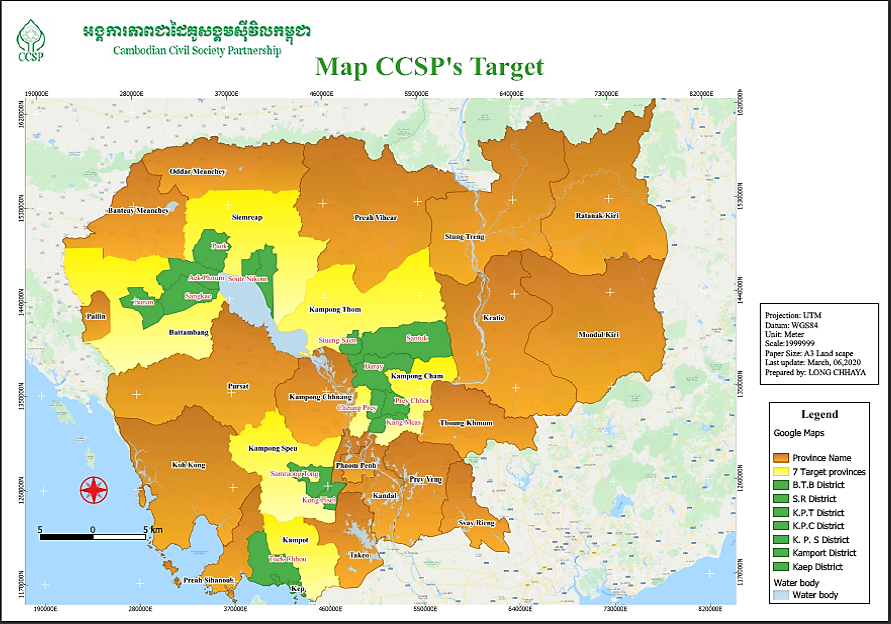
ផែនទីនៃតំបន់គោលដៅរបស់អង្គការភាពជាដៃគូសង្គមស៊ីវិលកម្ពុជា (CCSP) ផលិតដោយសិក្ខាកាមវគ្គបណ្តុះបណ្តាល GIS អ្នកស្រី ឡុង ឆាយ៉ា មន្រ្តីកម្មវិធីនៃអង្គការ CCSP។
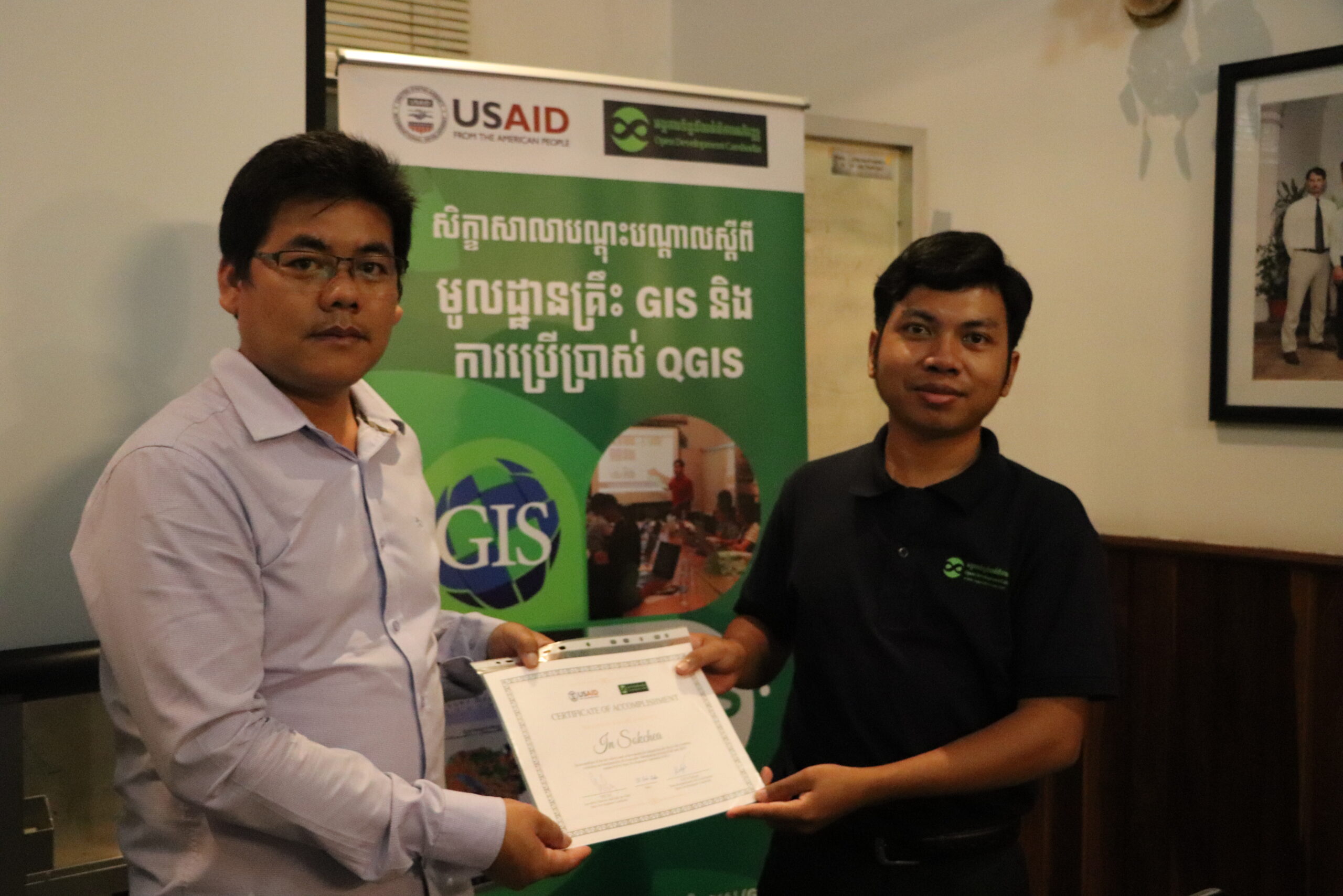
គួរបញ្ជាក់ផងដែរថា សិក្ខាកាមផែនទីម្នាក់ទៀតមកពីអង្គការអភិវឌ្ឍន៍សំលេងសហគមន៍ (BCV) ប្រចាំនៅខេត្តកំពង់ឆ្នាំង លោក អ៊ិន សុខជា ជាអ្នកសម្របសម្រួលគម្រោង ក៏បានប្រើឧបករណ៍ផែនទីQGIS ដើម្បីបង្កើតផែនទីសាមញ្ញមួយចំនួនបន្ទាប់ពីបានចូលរៀនវគ្គបណ្តុះបណ្តាលផងដែរ។
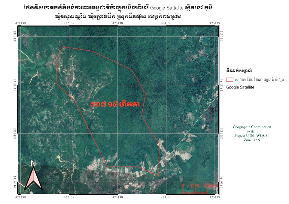
ផែនទីតំបន់ការពារសហគមន៍ម៉ាល្លុង (CPA) ស្ថិតនៅភូមិឃ្វិតទួលឃ្លាំង ឃុំក្បាលទឹក ស្រុកទឹកផុស ខេត្តកំពង់ឆ្នាំង។ ផលិតដោយ លោក អ៊ិន សុជា អ្នកសម្របសម្រួលគម្រោងរបស់អង្គការ BCV មានមូលដ្ឋាននៅខេត្តកំពង់ឆ្នាំង។
សូមរីករាយទស្សនាវីដេអូ សិក្ខាសាលាបណ្តុះបណ្តាលស្តីពីមូលដ្ឋានគ្រឹះនៃប្រព័ន្ធព័ត៌មានភូមិសាស្ត្រ (GIS) និង QGIS និងតាមដានស្តាប់មតិរបស់អ្នកចូលរួមដូចខាងក្រោម៖
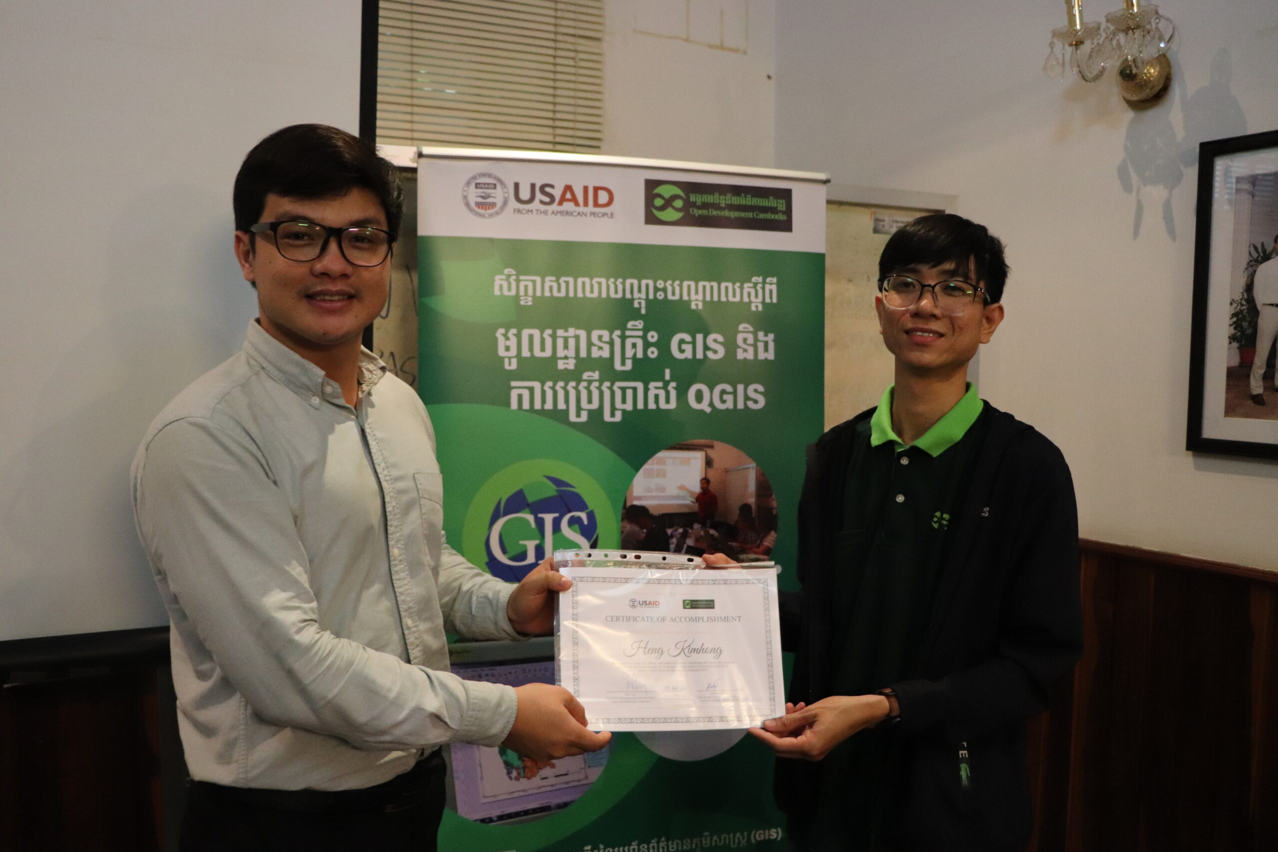
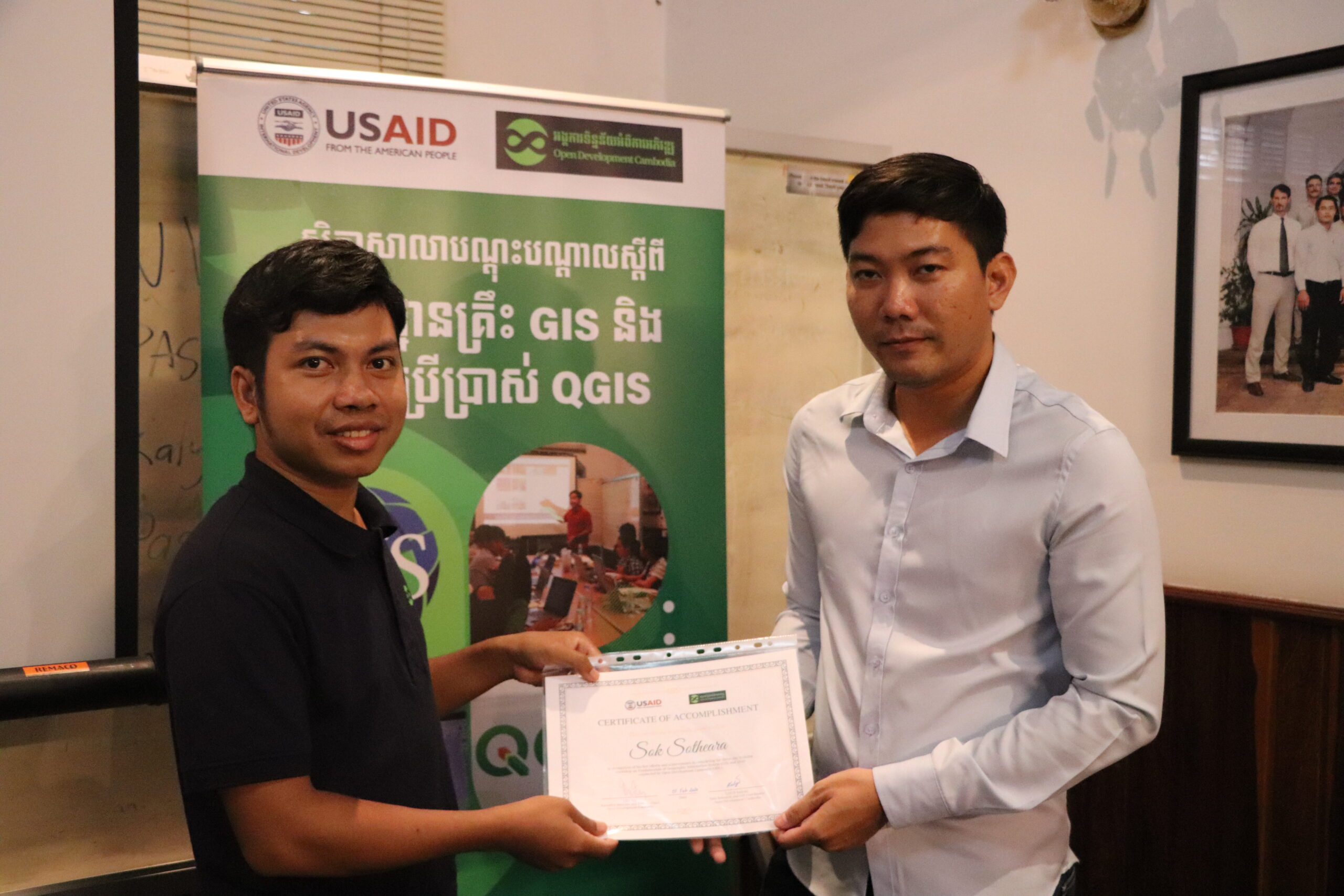
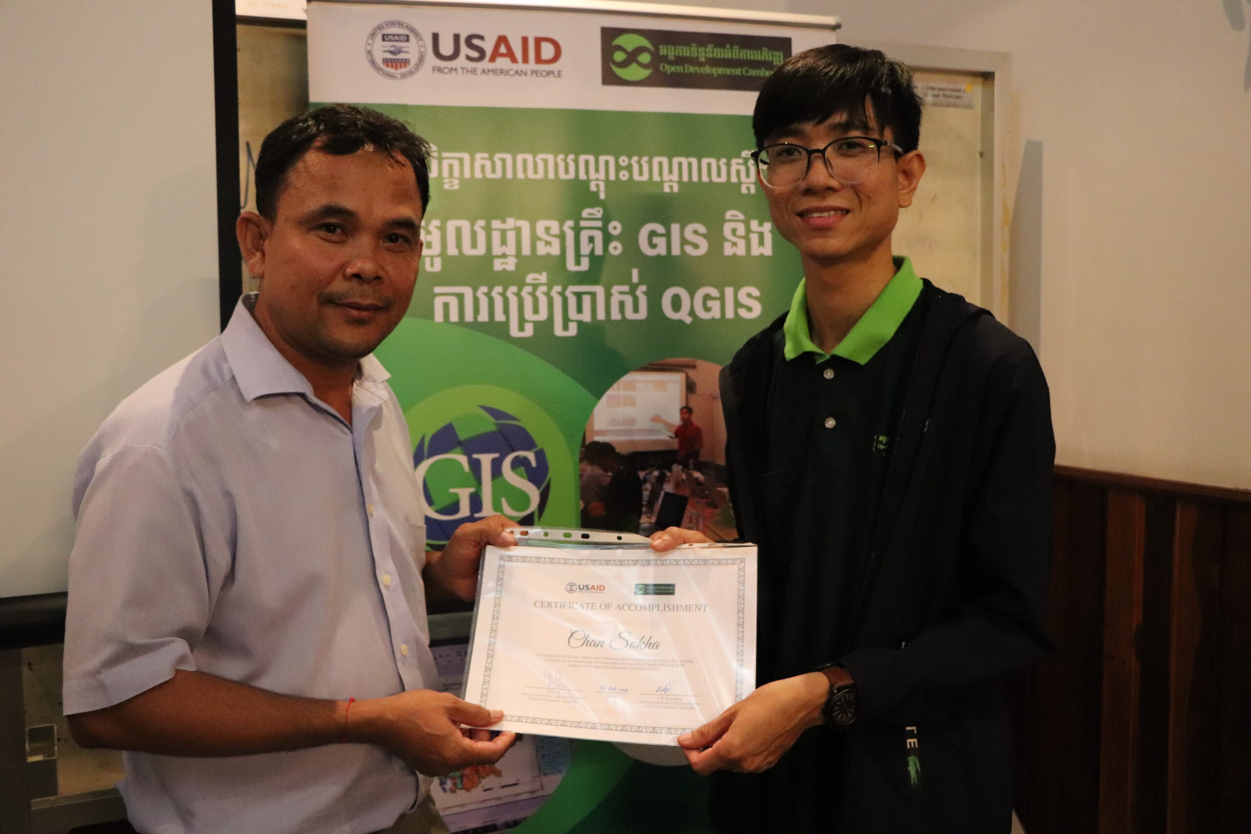
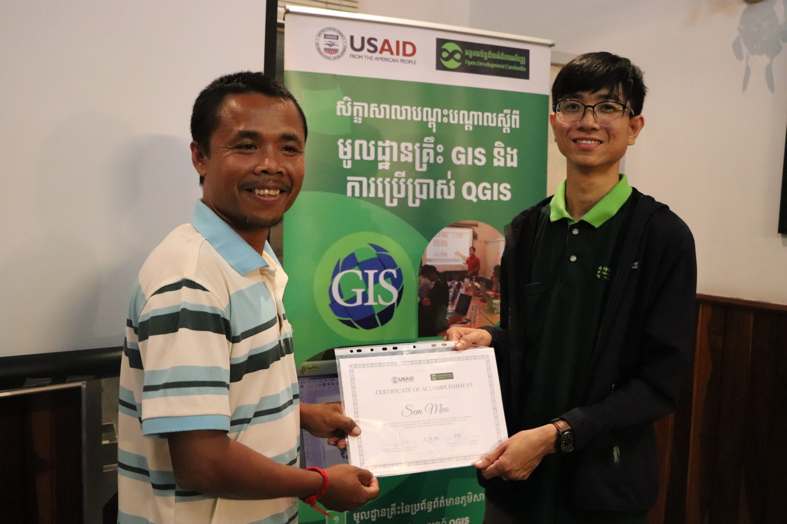
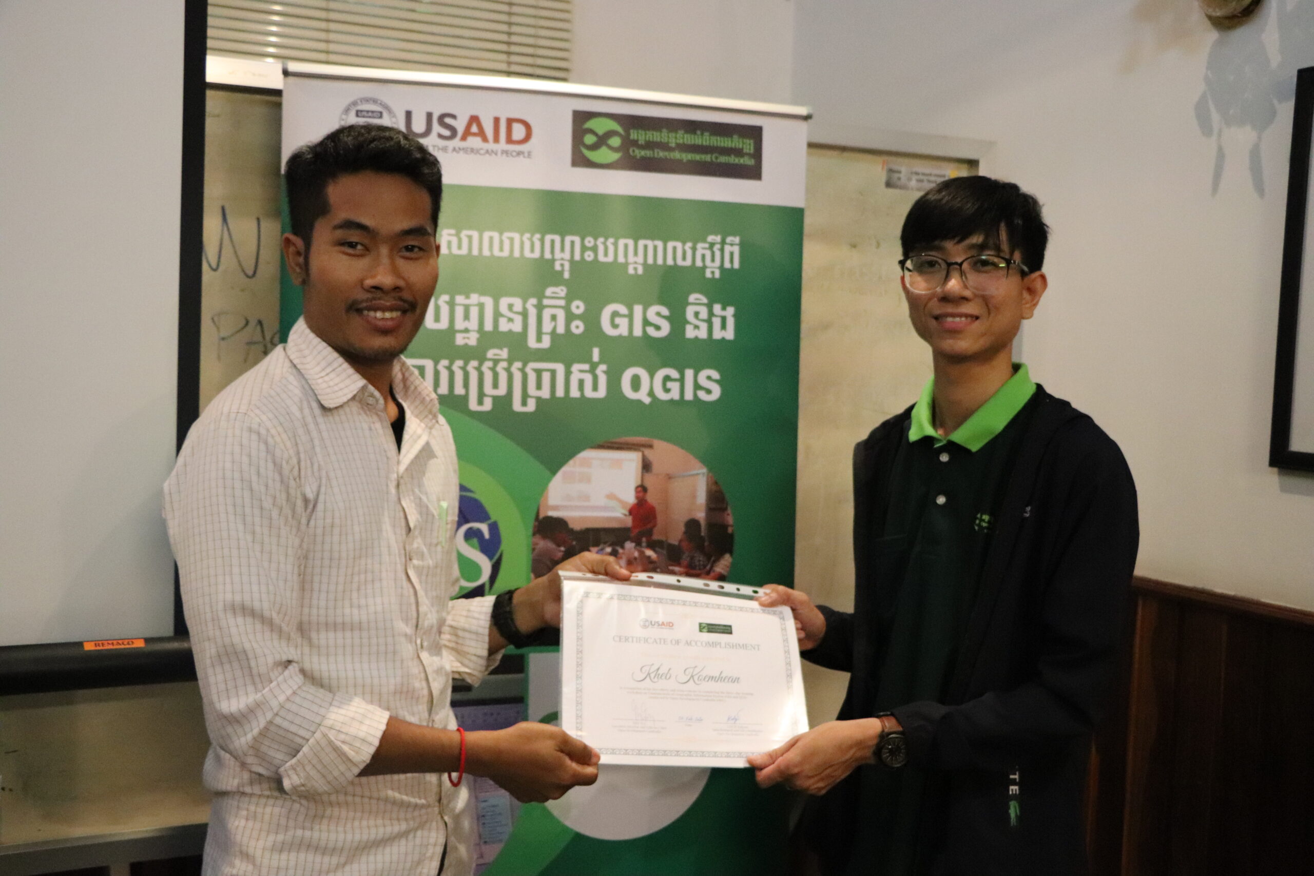
នៅទីនេះក៏មានរូបថតប្រគល់វិញ្ញាបនបត្រមួយចំនួនដល់អ្នកចូលរួម ដែលបានបញ្ចប់វគ្គបណ្តុះបណ្តាលរយៈពេល ៣ថ្ងៃដោយជោគជ័យ។