Technical Mapping Meet-up: Strengthening knowledge on forest cover mapping and remote sensing
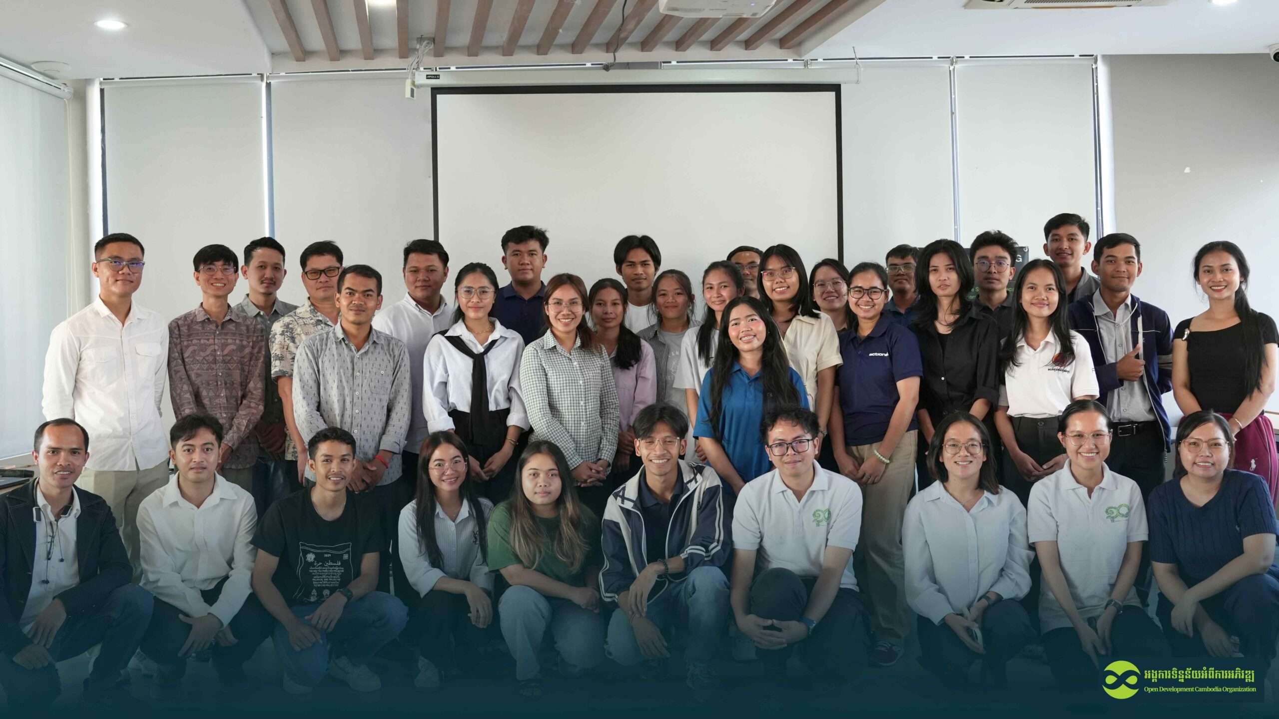
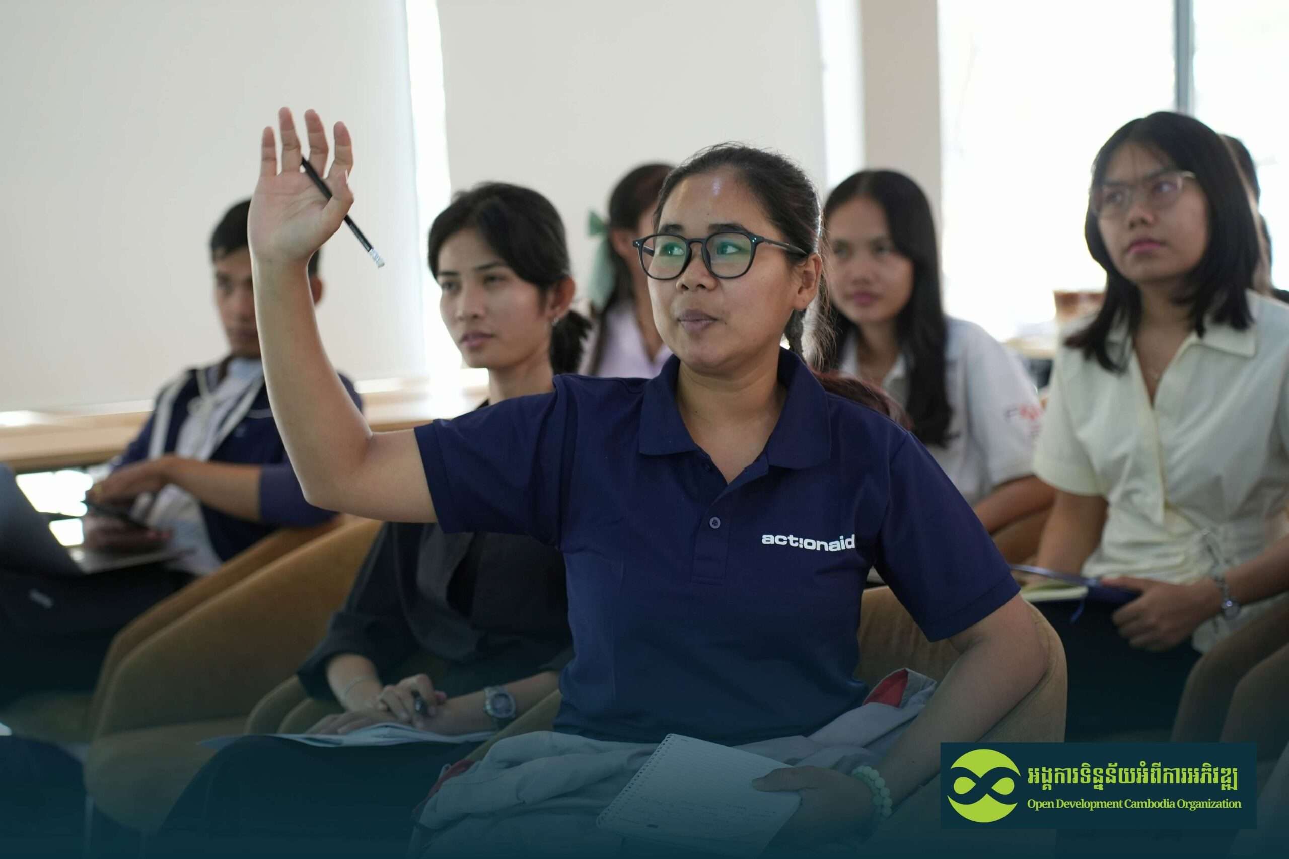
On 20 March 2026, a Technical Mapping Meet-up was successfully organized, bringing together 37 participants (including 19 females) from diverse backgrounds, including GIS practitioners, government representatives, researchers, students, and mapping enthusiasts.
The event provided a collaborative platform to exchange knowledge and practical experiences related to forest cover mapping, forest monitoring, GIS, and remote sensing applications in Cambodia. Participants engaged in meaningful discussions, shared technical insights, and explored innovative approaches to support sustainable forest management and environmental monitoring efforts in the country.
The meet-up aimed to promote technical learning while encouraging discussion on how spatial data can support environmental monitoring and sustainable resource management.
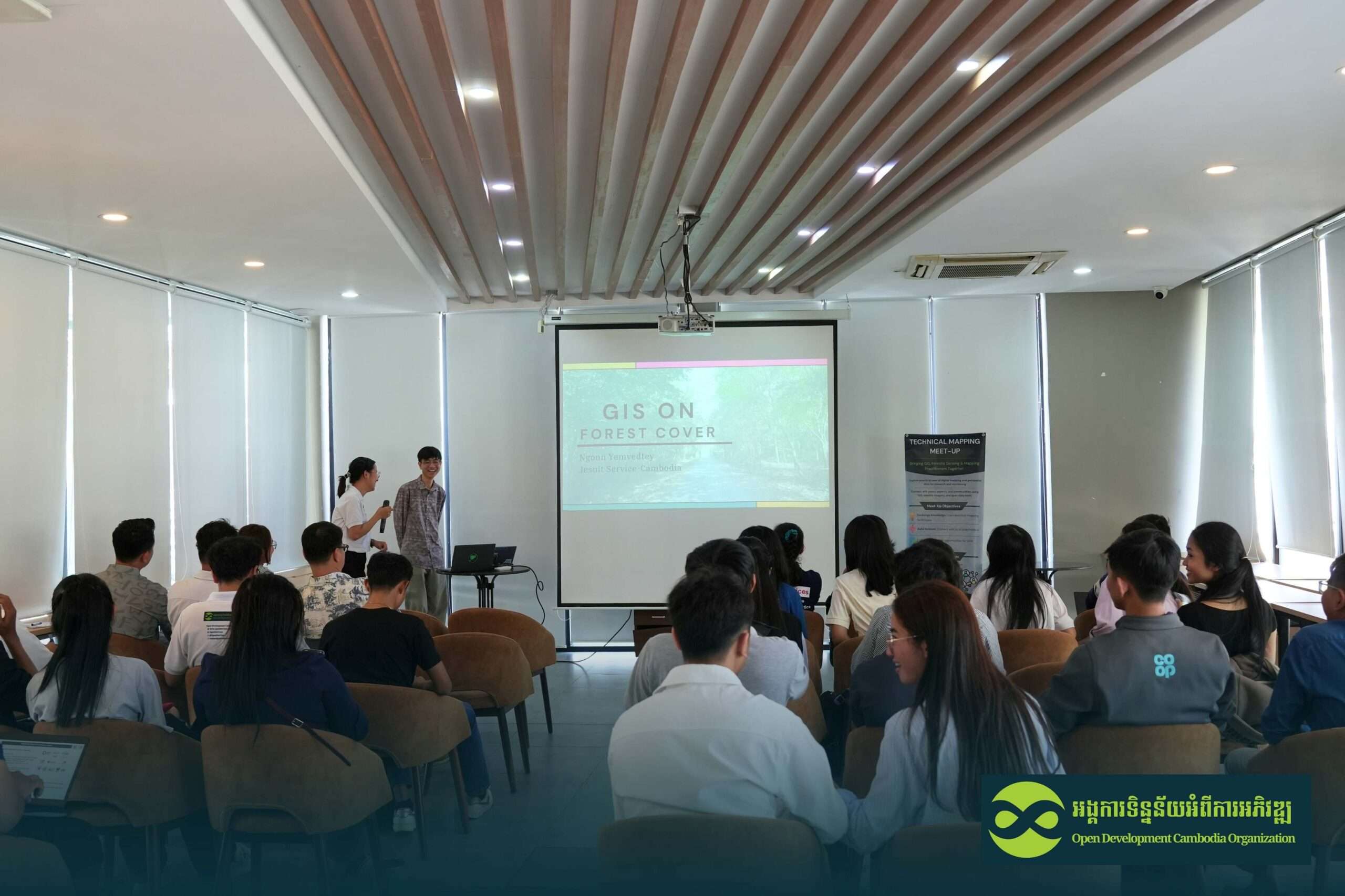
GIS on Forest Cover Map
The first presentation was delivered by Ms. Nguon Yemvedtey, who shared her practical experience in developing forest cover maps using GIS technologies.
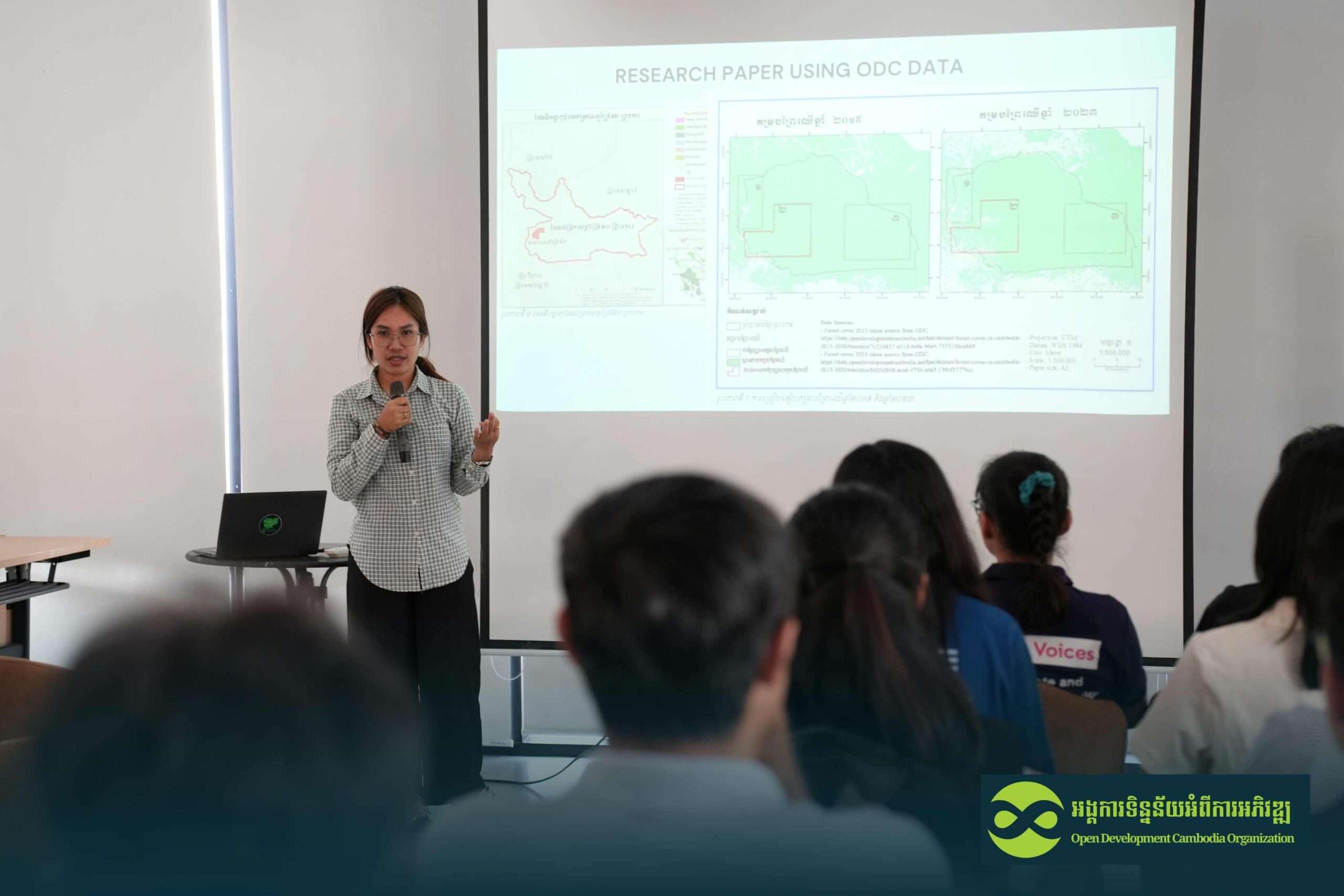
Her session explored different mapping methods used for forest cover analysis and emphasized the importance of selecting appropriate approaches depending on specific target areas. She demonstrated how forest cover datasets from Open Development Cambodia (ODC) support mapping and environmental research activities.
A key highlight of her presentation was the explanation of ground-truth verification, where field observations are used to validate mapped results. She stressed that combining secondary datasets with field validation significantly improves mapping accuracy and reliability.
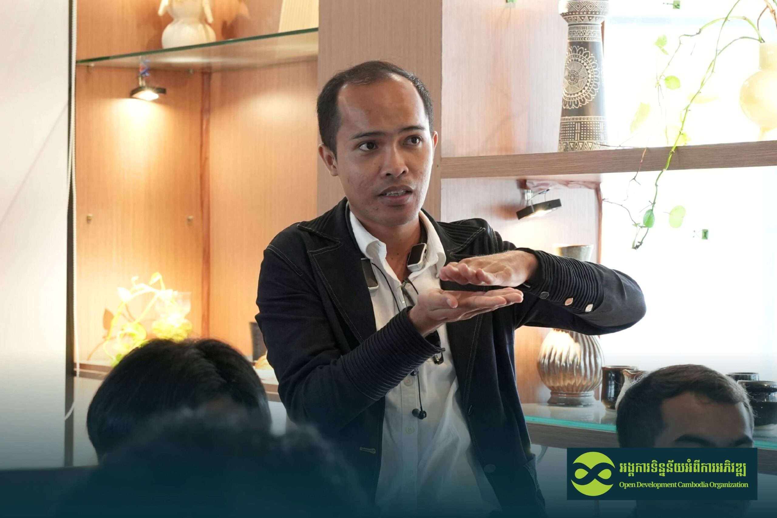
Using GIS and Remote Sensing for Environmental Monitoring in Cambodia
The second presentation was delivered by Mr. Pov Kakda, Researcher and Lecturer at the Institute of Technology of Cambodia (ITC).
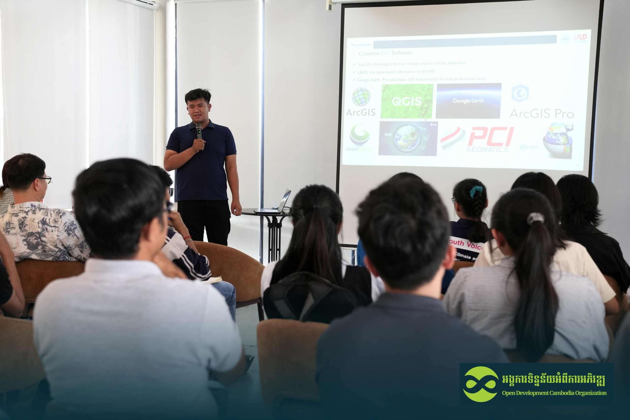
His session introduced participants to fundamental concepts of Land Use and Land Cover (LULC) and methods used to analyze environmental changes over time. Participants gained a clearer understanding of spatial data structures, including vector data and raster data.

He also explained remote sensing principles and demonstrated how satellite imagery supports forest monitoring and environmental assessment across Cambodia.
The presentation compared different GIS software options, including both open-source and licensed platforms. One example discussed was ENVI, specialized software commonly used for advanced image processing, such as cloud removal, which carries a high licensing cost.
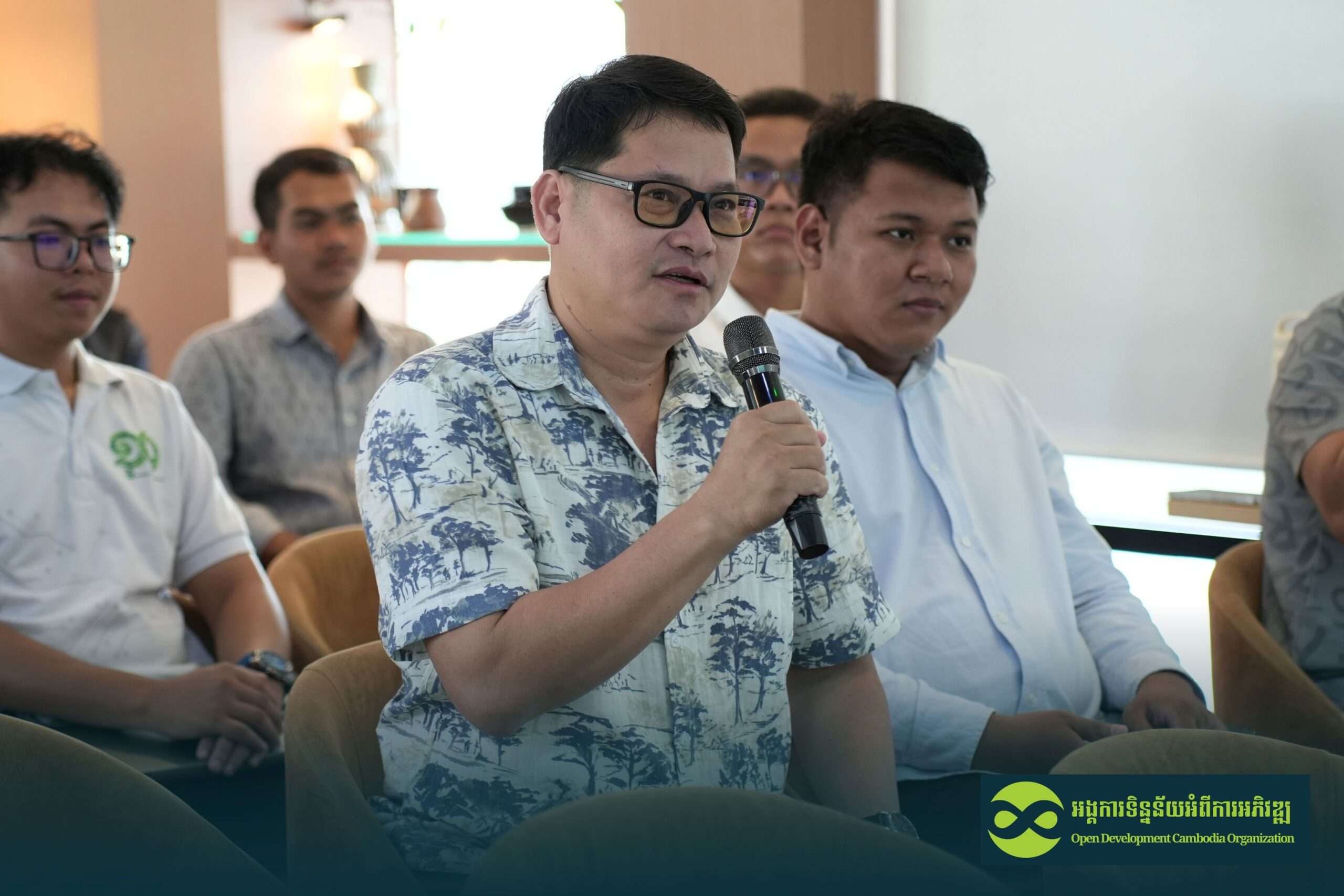
Participant Discussions and Key Questions
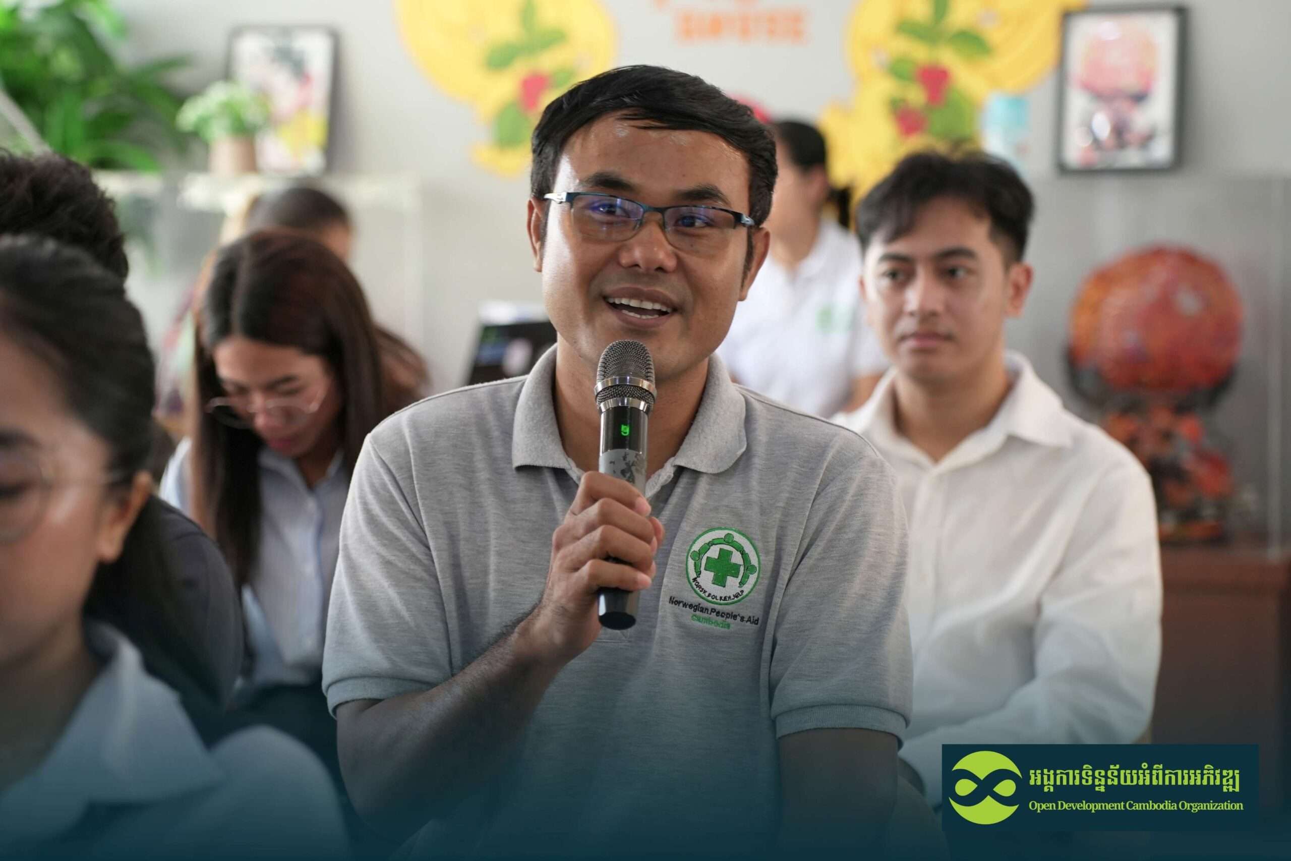
The meet-up concluded with an interactive discussion session where participants actively raised questions and shared perspectives.
Many participants were interested in understanding:
- Methods used to analyze forest cover changes
- The importance of conducting ground-truth surveys
- How frequently land use and land cover data should be updated
Several questions also touched on boundary and border-related spatial datasets. These discussions were recognized as sensitive in nature, as boundary information involves official jurisdiction and national authority. Speakers emphasized that such matters should be addressed by relevant government institutions and highlighted the importance of careful interpretation and responsible use of geospatial data.
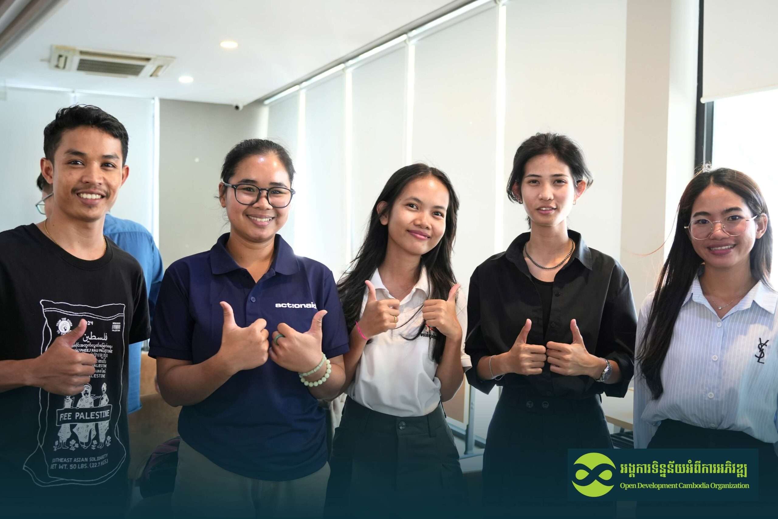
Positive Feedback and Future Direction
Participants expressed strong appreciation for the Mapping Meet-up, noting that:
- Presentations were clear, practical, and informative
- Real-world experiences shared by speakers enhanced learning
- Sessions on GIS theory, spatial data types, and remote sensing strengthened technical understanding
- Discussions on software options helped participants consider tools based on available budgets
Most participants also agreed that organizing the meet-up on Friday afternoon was convenient, allowing sufficient time for attendance and active participation. Based on this feedback, the future Mapping Meet-up is likely to continue using a similar schedule.
Moving Forward
Ms. KOEM Chhuonvuoch, NRM program coordinator of ODC, extended sincere thanks to all speakers and participants for their active engagement and valuable contributions. The success of this event demonstrates growing interest in GIS, remote sensing, forest monitoring, and evidence-based environmental management in Cambodia.
Future Technical Mapping Meet-up will continue to provide a collaborative platform for knowledge sharing, technical learning, and responsible use of spatial data to support sustainable development and environmental protection.

