Empowering communities through digital mapping: Highlights from our community-based mapping training
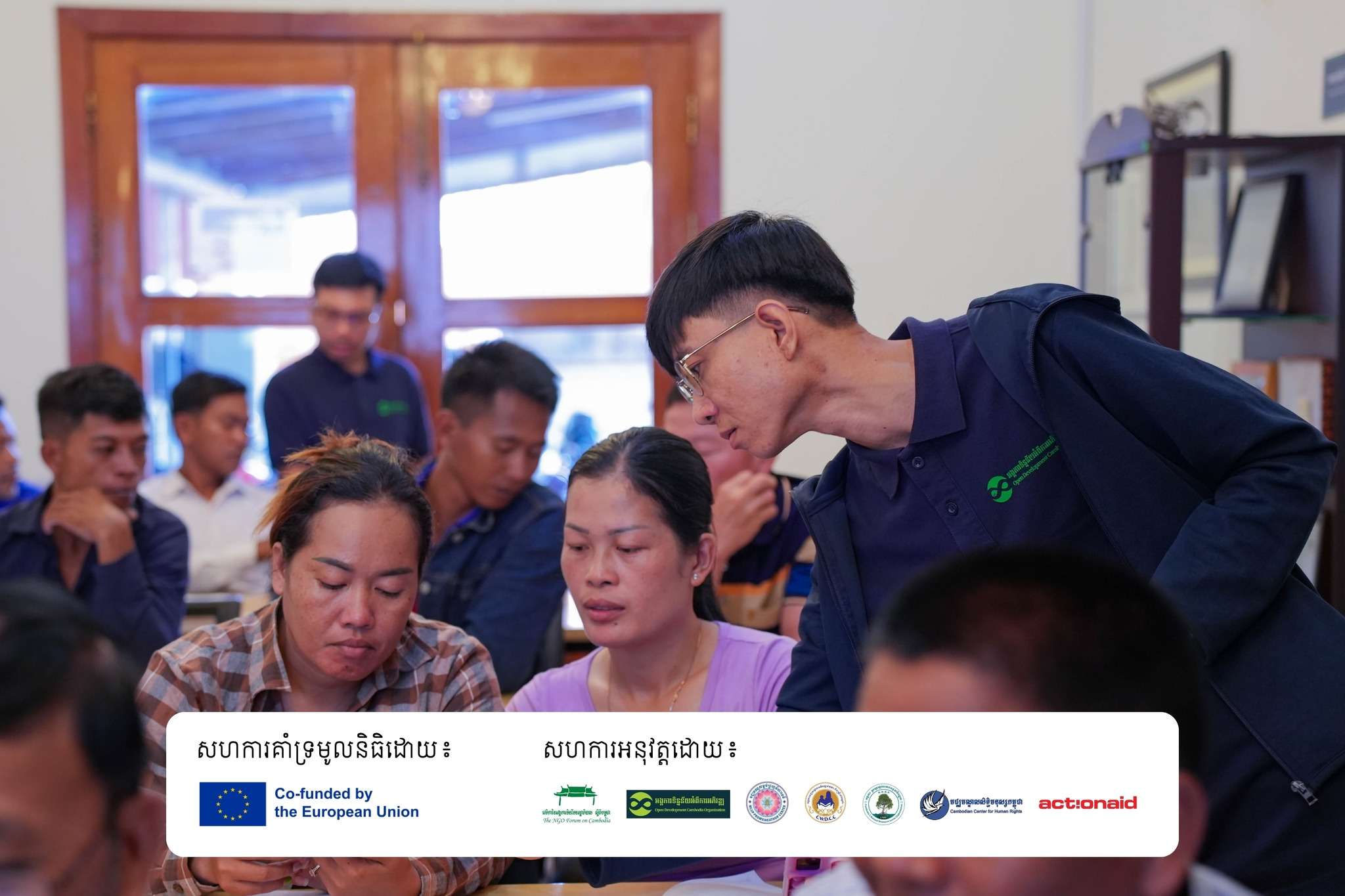
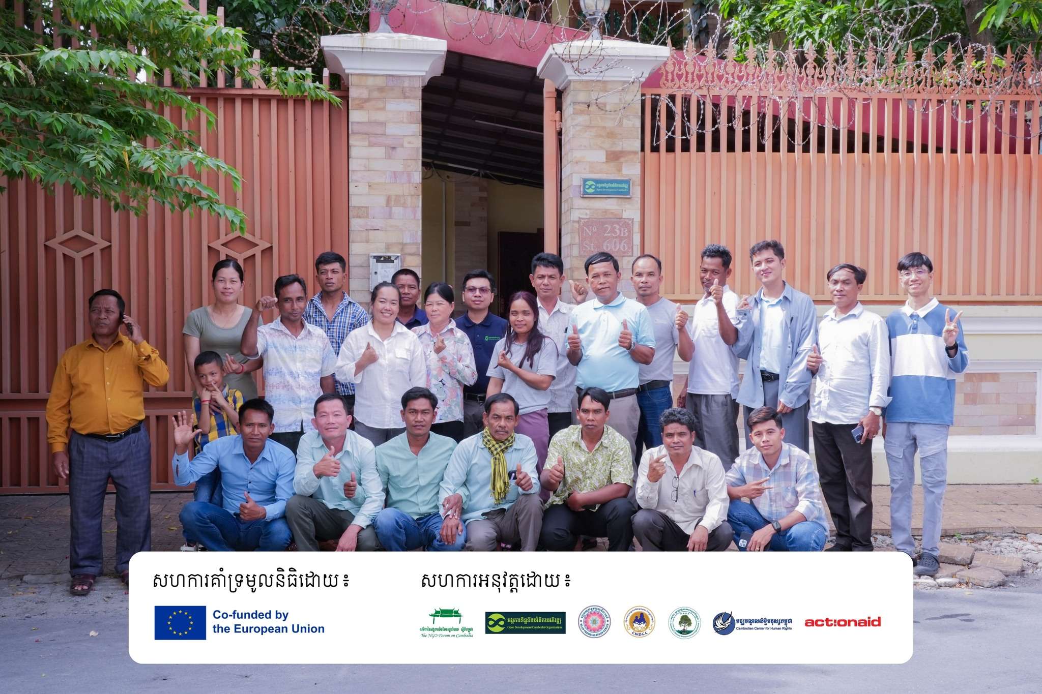
From July 7–8, 2025, Open Development Cambodia (ODC) hosted a two-day Community-Based Mapping Training Workshop at the ODC office. Supported by the European Union under the Strengthening CSOs to Take Action on Economic Governance (SCAEG) 2023–2026 program, this training brought together 21 passionate community members from Koh Kong and Preah Sihanouk provinces.
The training aimed to build participants’ confidence in using digital maps and spatial data to support their ongoing efforts in natural resource protection and community development. Most of the participants had little or no prior experience with digital tools, but they brought a wealth of local knowledge and commitment to their communities.
What we covered
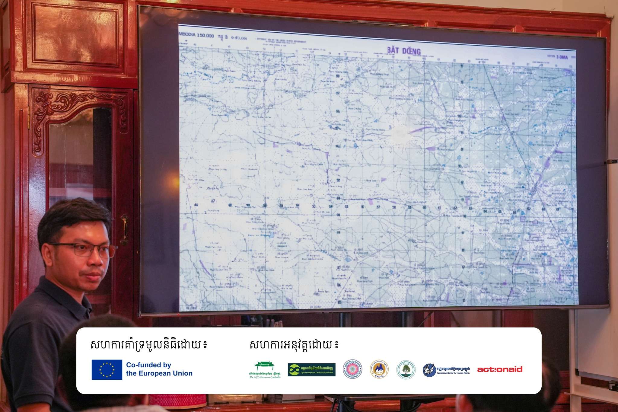
Led by ODC’s GIS specialists, the sessions combined presentations, demos, and lots of hands-on learning. The agenda included:
- Basic map reading and understanding spatial data
- Navigating and using datasets and interactive maps on the ODC website
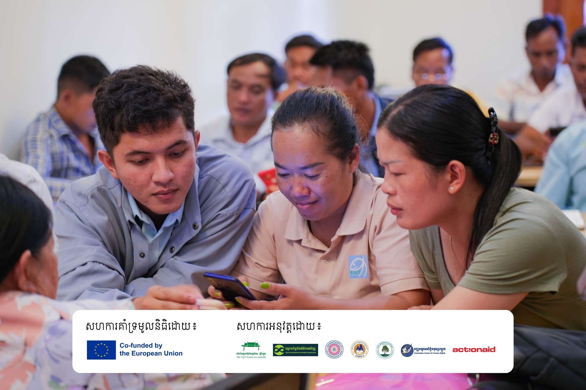
- Installing and using Avenza Maps, a mobile app for offline mapping, GPS tracking, photo collection, and data annotation
- Drawing boundaries, marking important locations, and exporting data to KML/KMZ files for use in tools like Google Earth
Participants especially enjoyed using Avenza Maps to mark areas of importance in their communities and practice exporting that data for future planning and advocacy.
Real impact, real growth
While there were a few challenges, like limited internet access and varying levels of digital literacy, the results were clear: participants significantly improved their skills. Pre- and post-training tests showed a jump from 30% to 63% on average, which is a strong sign of learning in just two days.
Perhaps more importantly, feedback from participants was overwhelmingly positive. Many expressed interest in future training and a desire to share their new skills with others back home. Over 90% were satisfied with the training arrangements, and around 70–80% praised the topics, trainers, and overall experience.
Looking ahead
This training proved that even brief, targeted sessions can have a big impact on community capacity. Going forward, we aim to conduct more training closer to community locations, with field-based mapping activities to ensure deeper, real-world learning.
We’re proud of our participants and look forward to seeing how they’ll apply these new tools to protect their lands, plan better, and make data-informed decisions in their communities.