First step to fundamentals of QGIS workshop with ODC
For the first time, Open Development Cambodia hosted a workshop on fundamentals of QGIS for the public. The workshop about the principle of the geographic information system with the application of QGIS software took place between March 12 and March 14, 2018 in the ODC office in Phnom Penh. The 24 trainees including 3 females which were students, NGO employees and government officials came to learn the basic functionalities of the QGIS software and to practice their first skills and their expectations were fulfilled. The intensive three days included presentations, quizzes, online tests, and many opportunities to try out the options QGIS offers.
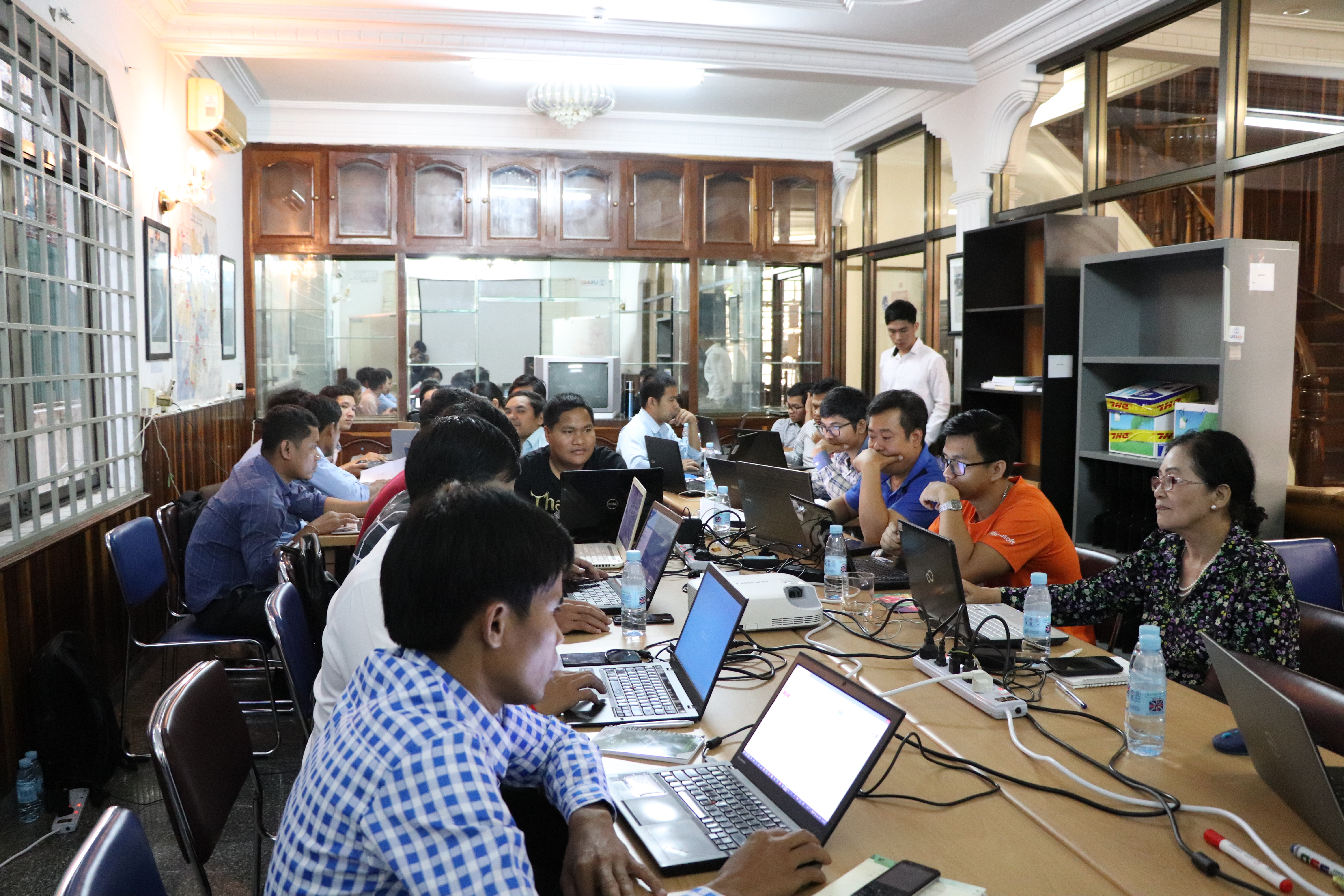
The participants are installing the QGIS software following the instruction from trainer.
The first day of the workshop kicked off with an assessment of the participants’ knowledge and skill levels. For a successful training sessions it is crucial to know about the trainees pre-existing skills. Therefore, the training has been adapted to the participants level of knowledge about the topic. The evaluation showed that the 24 participants did not have any significant knowledge of QGIS, even though some had already some experience with the GIS software, ArcGIS. Accordingly, workshop host Mr. Vamoeurn Nimol, a GIS professional with over 10 years of first-hand GIS experience, first led the trainees through the installation and first steps of the software. At the end of the day, the participants could already produce their own simple map – an achievement which gave them a real lift for the next day.
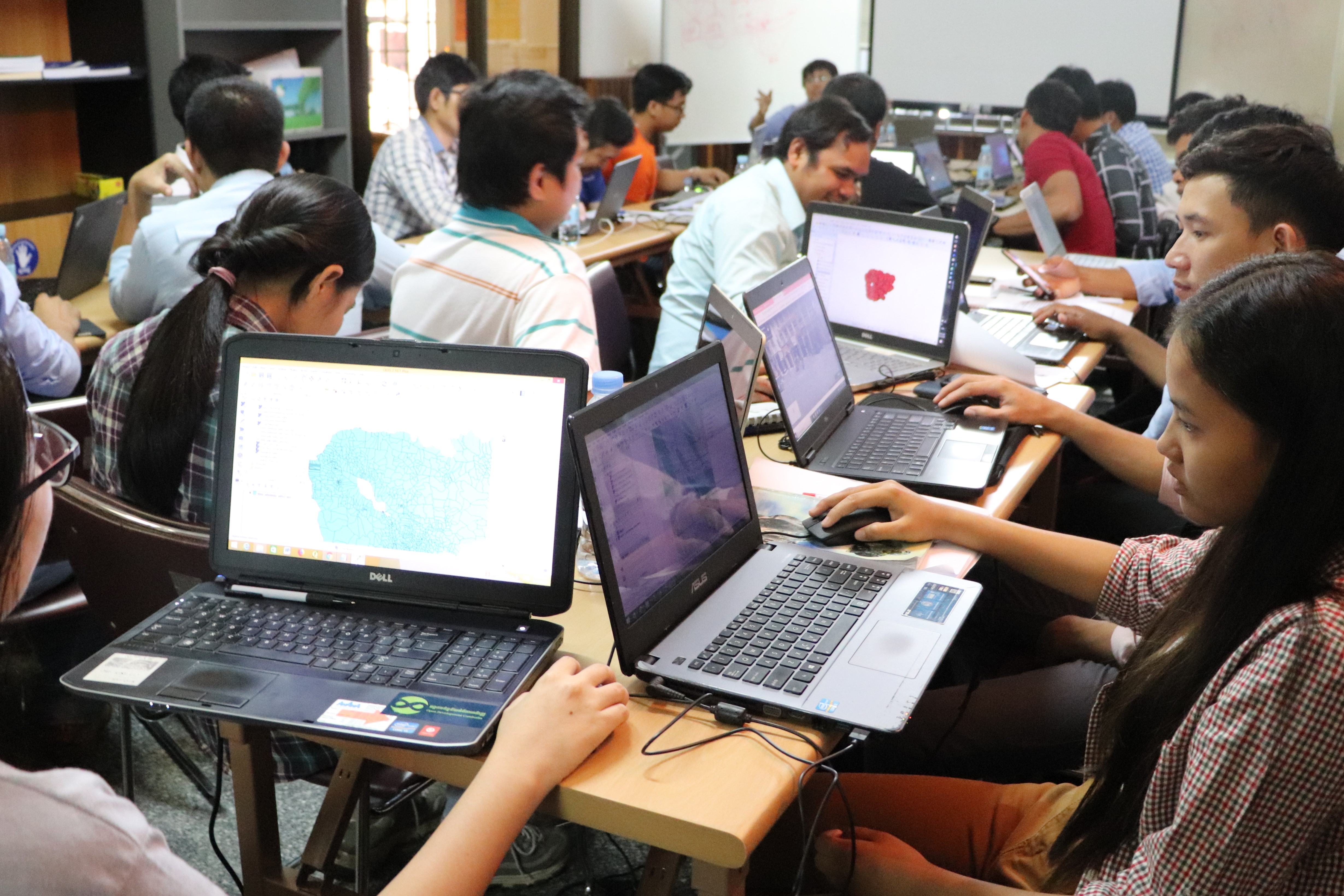
Participants are focusing on the introduction of QGIS’s interface and visualization of the GIS data.
The visualization of spatial data as well as data management were the focus of the second day which included many interactive slots during which participants learned more about how to use data with QGIS. The participants studied different formats of data, how to load data from files, databases, and web services, and eventually, how to style vector data and raster data. After the lunch break the work on data continued, now with an emphasis on data management, including lessons on the QGIS browser, the creation and editing of new vector data and of spatial databases. The second workshop day closed with a mini-project for which participants created an actual database to store ODC’s data for creating an atlas.
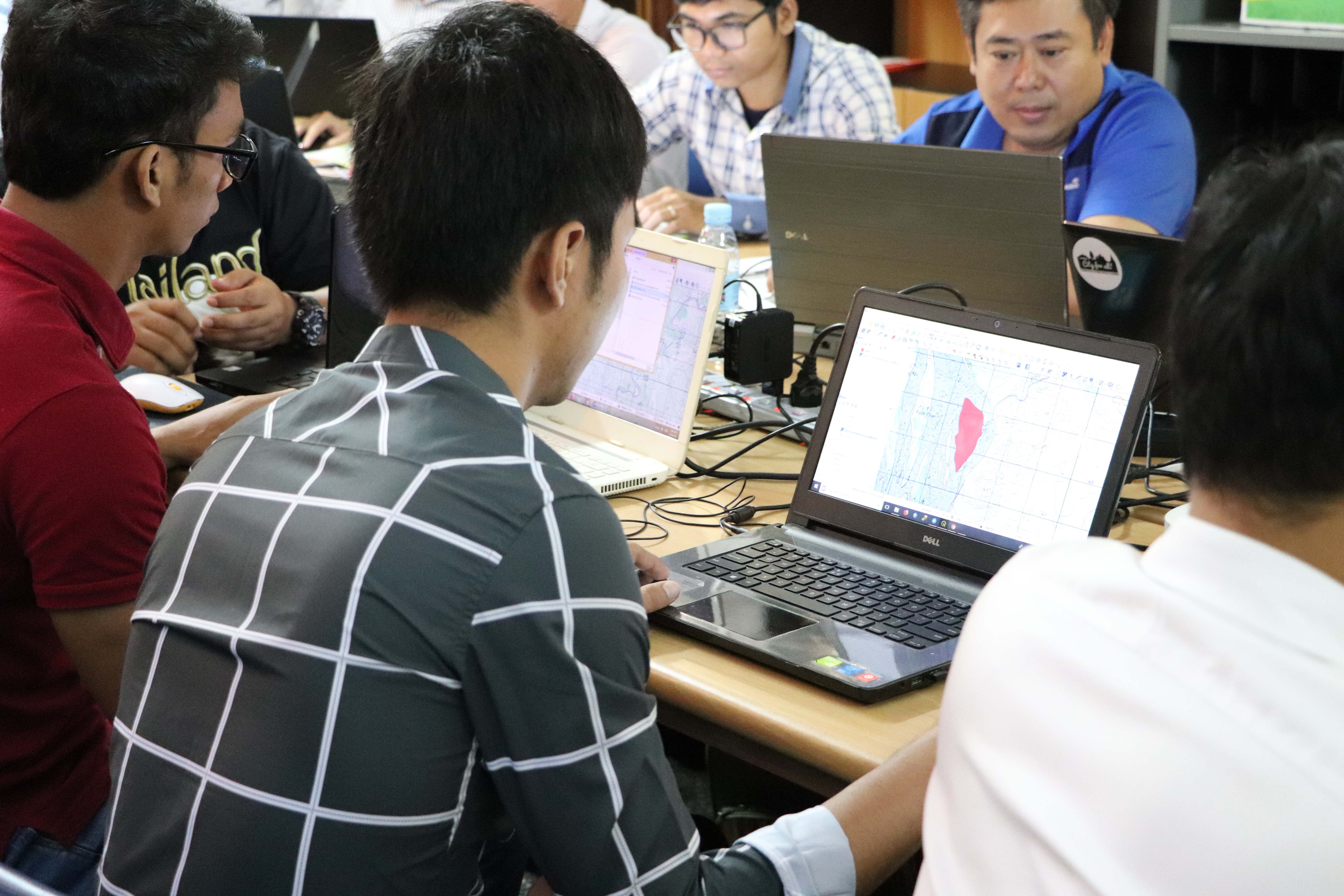
The final workshop day was dedicated to data processing and analyses and the application of the skills participants have learnt so far. After an interactive tour through the world of vector and raster geoprocessing and the geoprocessing toolbox, participants could finally show their skills during a real-world application. The QGIS students chose topics such as real estates, water resources, forestry and fishery to use the software. Indeed, there was not enough time for the participants to finish this exercise during the workshop. However, they were encouraged to submit their projects to the trainer for comments and feedback later on. After the workshop, participants can continue their work through a discussion board specially set up for this workshop.

Trainees are focusing on creating their own simple map.
Trainees are focusing on creating their own simple map.
The three workshop days closed with a training evaluation where participants could give feedback, and a quiz where they could assess how much they have learnt. Of course, every participant received a certificate which proves that they can now use QGIS. But even after the workshop participants will still have the chance to improve their QGIS skills during two more workshops which will take place from April 23 till 25 (web and mobile-based spatial Data Management; application of GIS in natural resources management; application of GIS in natural disaster management) and June 25 till 27, 2018 (use of GIS in land management, integrating GIS technology in the educational sector).

Participants are having group photo after receiving the certificate of completion.
Stay tuned for more information on the next in-depth modules!

