ODC’s second GIS workshop: Data collection and application of GIS
In the previous blogpost we kicked off the first series of QGIS workshop in which we highlighted the activities and results of the successful 24 participants which have been attended and awarded with a certificate during the three-day workshop. After we introduced the principle of the geographic information system with the application of QGIS software, this time the data collection and application of GIS are in the focus.
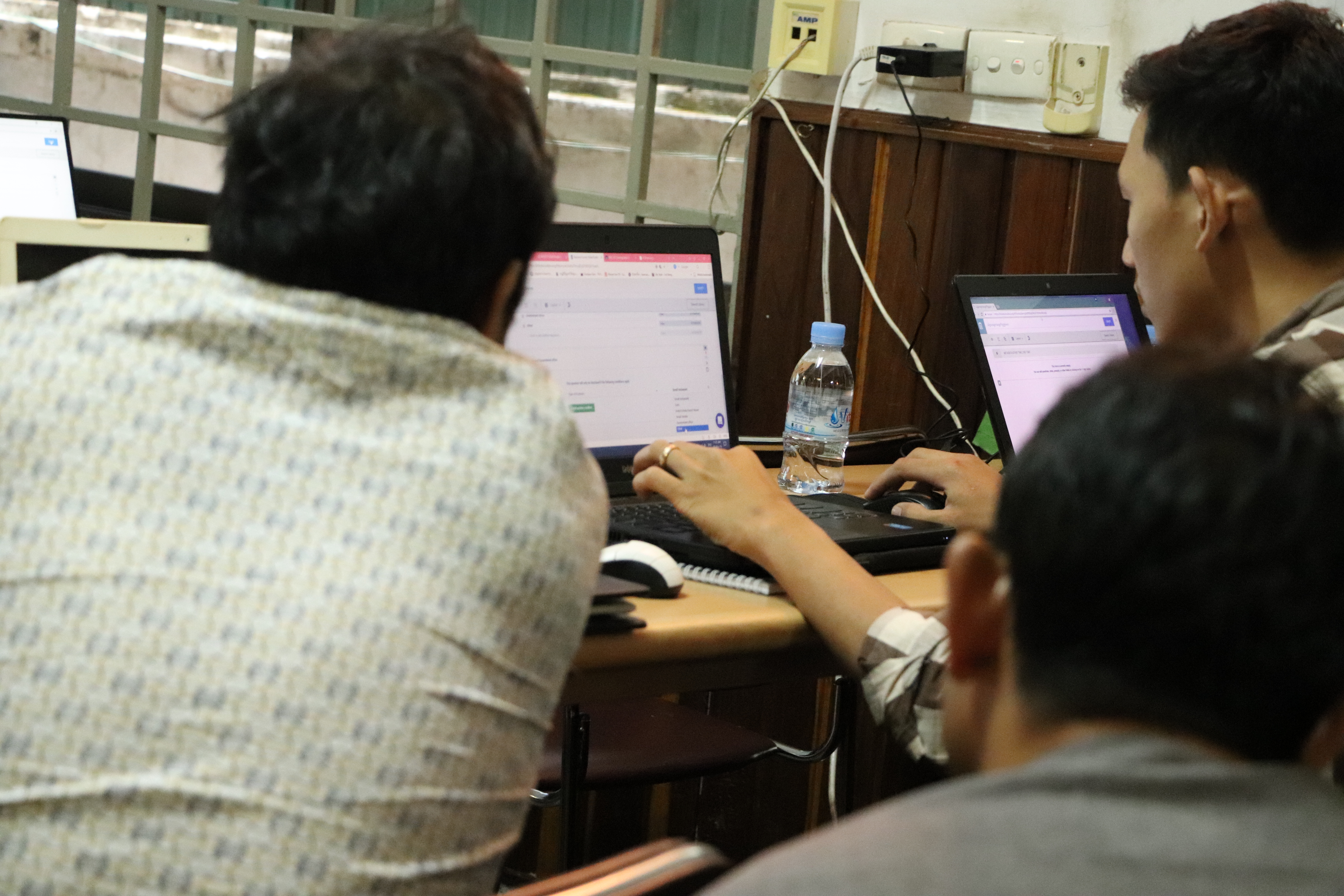
In three days running from 07th to 09th May at ODC’s office in Phnom Penh, 21 participants – who are working in government, private sectors, NGO institutions and universities including Ministry of Mines and Energy, Ministry of Planning, Smarter Solutions, Sustinat Green, Rising Phoenix, Green Environment Group, East-West Management Institute, Maddox Jolie Pitt Foundation, Fisheries Action Coalition Team, Highlanders Association, BirdLife International Cambodia Programme, Royal University of Phnom Penh, World Vision Cambodia, Institute of Technology of Cambodia, and Open Development Cambodia – learned how to use geographic information system and open source application for mobile data collection. During the sessions, the Tonle Sap Lake region and natural resource management and disaster management are used as the main themes for discussion and study.


The first day of the workshop started with an assessment of the participants’ GIS knowledge followed by the mobile data collection fundamentals through the comprehensive slide presentation. After that, the students were guided to installation of KOBO Toolbox, which is an open source application for data collection and is used by many famous organizations. For a successful and realistic training sessions it is important to get the participants to understand the basics of each data collection tools in order to design various forms of questionnaire.
The data collection and GIS applications in natural resources management were the main topics of the second day which included many interactive demo as well as field data collection which participants understanded more how to utilize data in QGIS. The students learned how to manage the data, analyze data on a simple web-based platform, and export data for external analysis. After the lunch break, the session shifted to focus on the use of GIS applications in natural resources management through the introduction of spatial analysis and map algebra. At the end of the day, the participants were excited to work on an actual project on the schools affected in the flood-prone area within Tonle Sap ecosystem. The last of the workshop was continued on the GIS application in natural resources management but this time with an introduction to binary analysis and flood management.


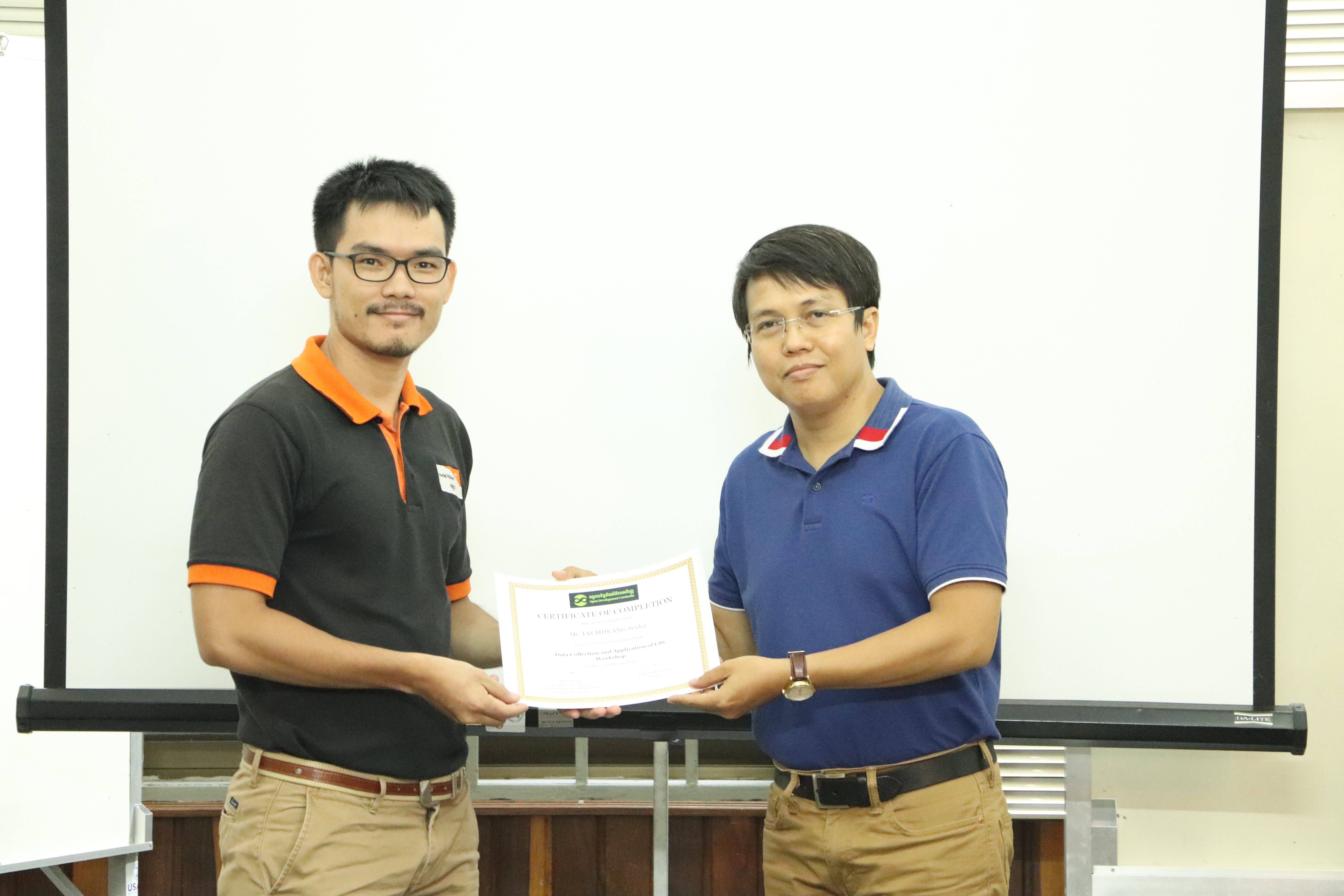
This three-day workshop has produced significant outputs and outcomes. Most of the participants said that they found ODC’s GIS workshop very interesting, not only learn how to use the GIS technology, but also get the comprehensive knowledge on natural resource management and disaster management. Every participant received a certificate at the end of the workshop which is an evidence to prove they successfully completed the course and gained knowledge and skills about GIS technology and mobile data collection. Based on the comments in the feedback form, most participants are sure they are able to utilize these skills in their careers and claimed the usefulness of this three-day workshop. “This workshop is very useful for me to implement my organizational project and I would share the lesson to my colleagues.”, Mr. Lychheang Seyha, a staff from World Vision Cambodia, wrote. After the workshop, he will use the knowledge from the training to conduct the data collection on water sanitation and hygiene (WASH) and produce GIS map for his organization. Moreover, Mr. Chea Sophea from BirdLife International and Mr. Hour Pok from Rising Phoenix mentioned that they are very happy about this workshop because they learned about the interaction between the environment and GIS technology. Besides, the workshop has created a virtual learning environment or Learning Management System (LMS) with Google Classroom that was used to deploy workshop materials, connect all participants into a network that encourage discussion, experience sharing and professional circle. Through this LMS, any update related to the learning materials can be propagated to all participants in a timely and convenient way. In addition, participants have learned how to do the presentations, quizzes, online tests, and many more opportunities to try out the options QGIS offers.


There is a good news for those who missed our first 2 workshops on QGIS: In July there will be one last workshop about the use of GIS in land management and integrating GIS into the educational sector. Stay tune for more information on the next modules!

