ODC strengthens coastal CSOs through QGIS mapping and geospatial training
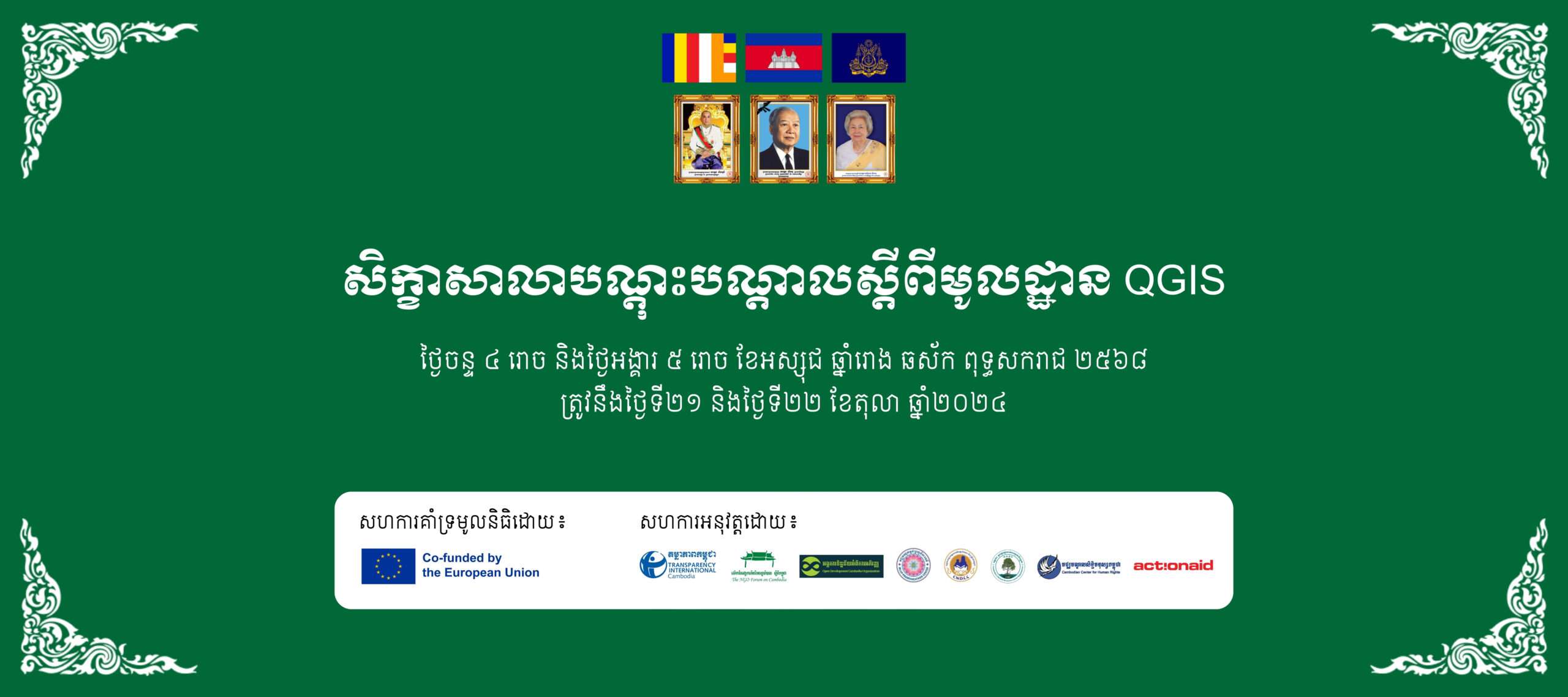
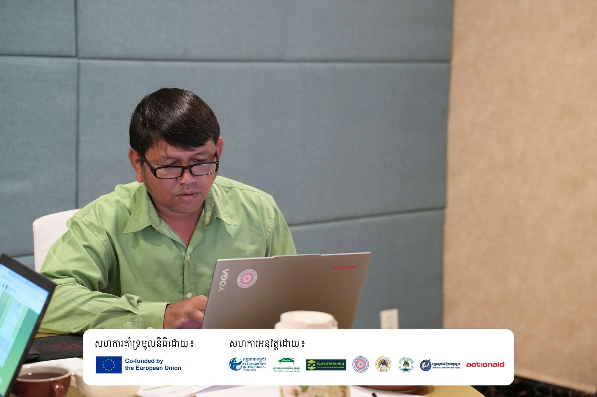
Open Development Cambodia (ODC) recently conducted a successful two-day training workshop on Fundamental QGIS for civil society organizations (CSOs) in Phnom Penh on October 21-22, 2024. The workshop was organized as part of the “Strengthening CSOs to Take Action on Economic Governance (SCAEG)” project, co-funded by the European Union.
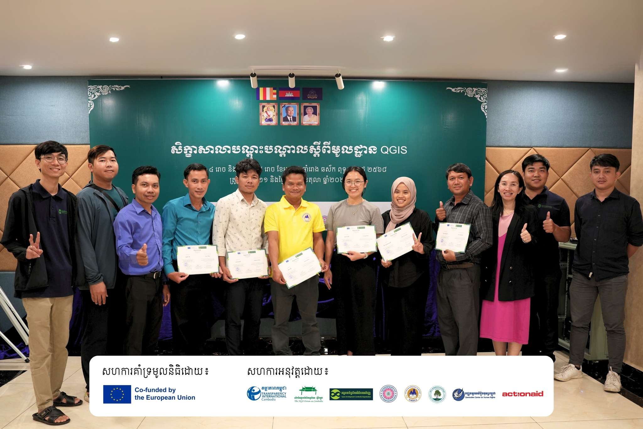
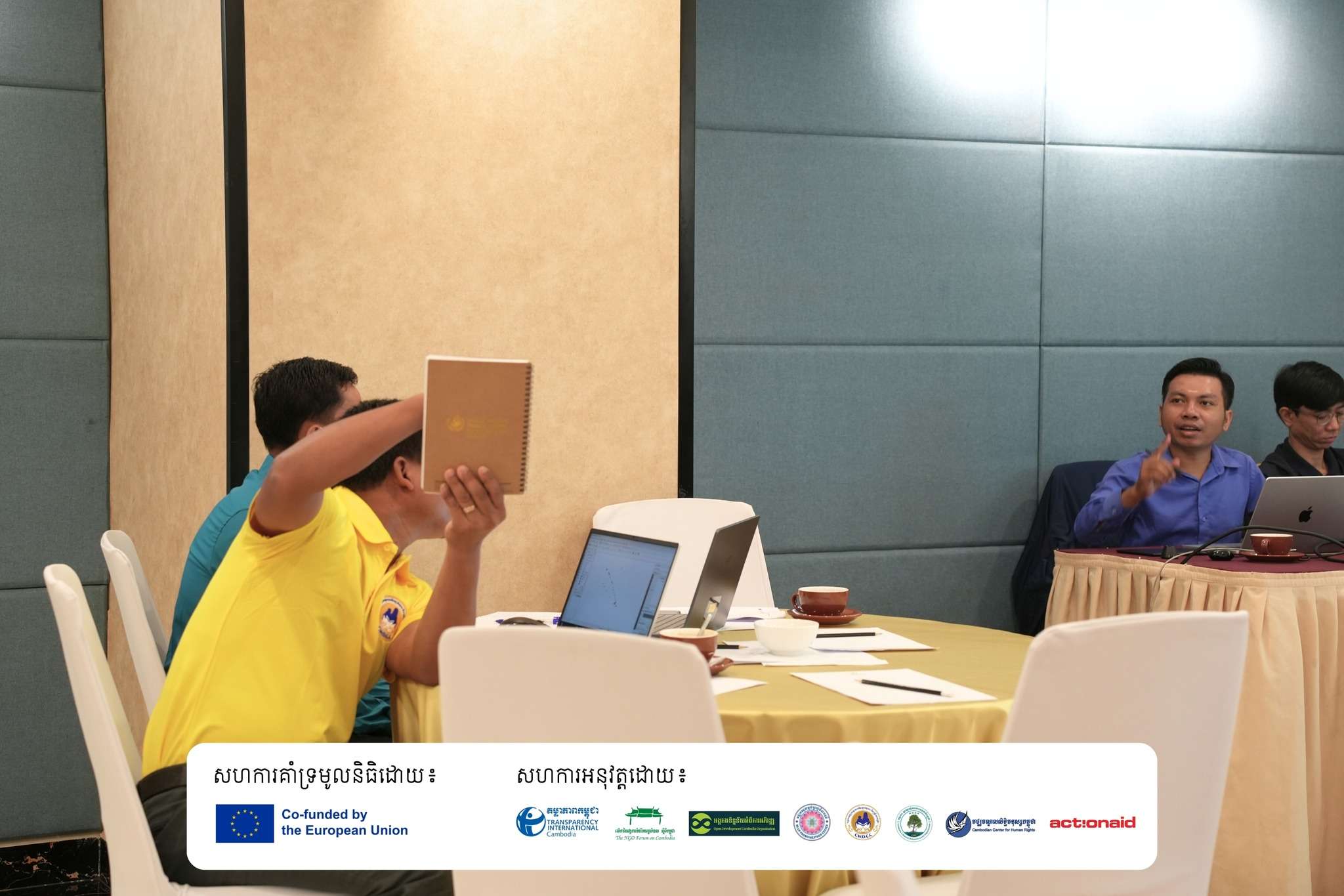
The SCAEG project aims to enhance civil society’s role in economic development governance within Cambodia’s coastal areas, promoting greater accountability, transparency, and inclusive decision-making. The training brought together 14 participants, including four women, from key partner organizations:
- Children and Women Development Center in Cambodia (CWDCC)
- Mlup Promviheathor Center (MPC)
- Action Aid Cambodia (AAC)

QGIS (Quantum Geographic Information System) is an open-source spatial visualization and analysis tool that is a cost-effective alternative to expensive software packages. The platform offers comprehensive functionality for viewing and exploring data, creating and composing maps, managing and exporting data, conducting spatial analysis, and publishing maps online.
The training aimed to provide participants with fundamental knowledge of Geographic Information Systems (GIS), skills in collecting and managing geographic data, the ability to analyze locations and manipulate visual information, practical experience with QGIS mapping applications, and tools for addressing complex geographical challenges.
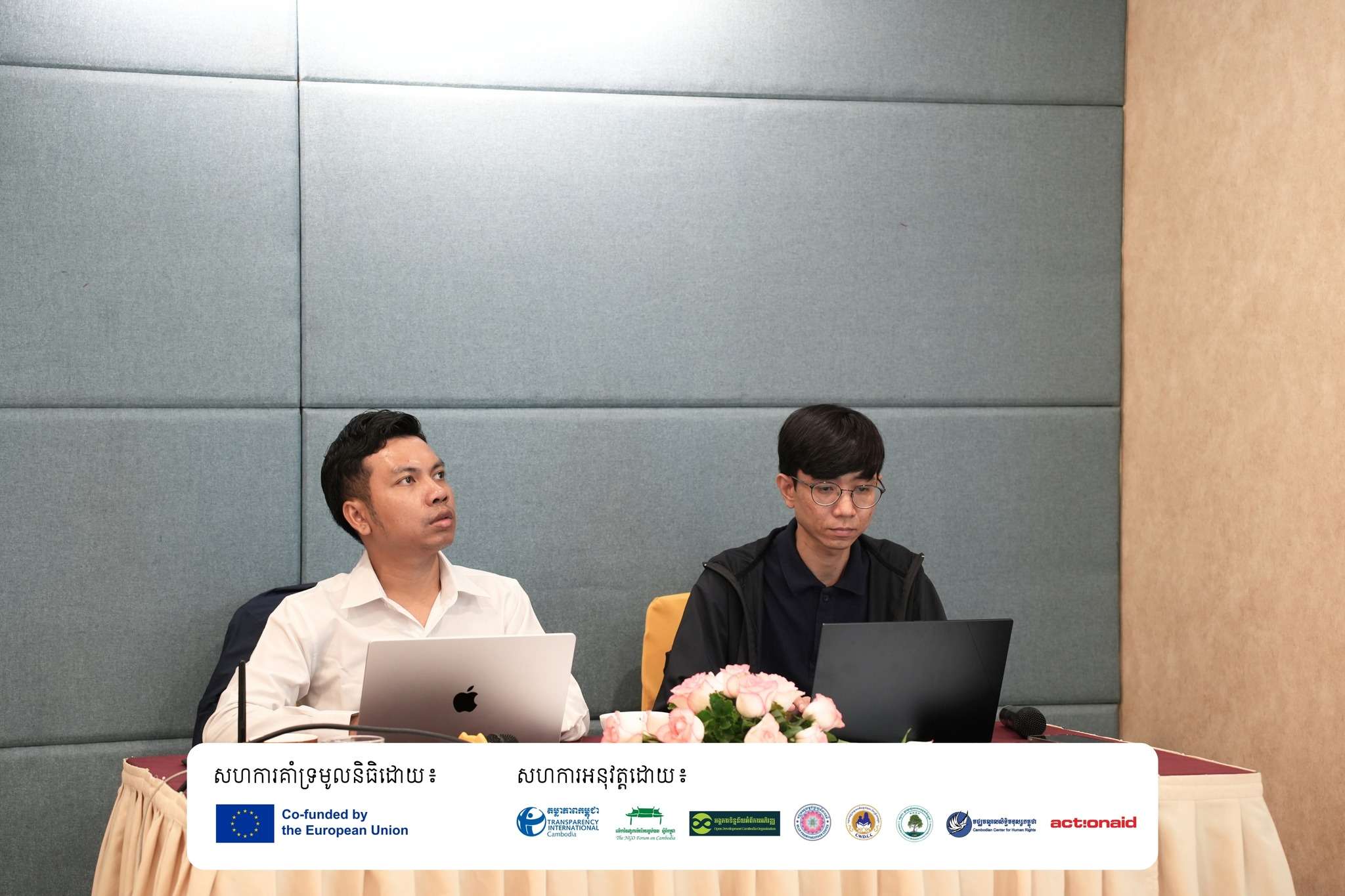
Led by Mr. Loch Kalyan, ODC Data Research and GIS Specialist, and Mr. Vong Pisith, ODC Senior Data Research & GIS Officer/Capacity Building Coordinator, the first day covered the introduction to Geographic Information System (GIS) and QGIS applications and working with spatial data in QGIS. The day began with interactive sessions to build rapport among participants and included a pre-test to assess baseline knowledge.
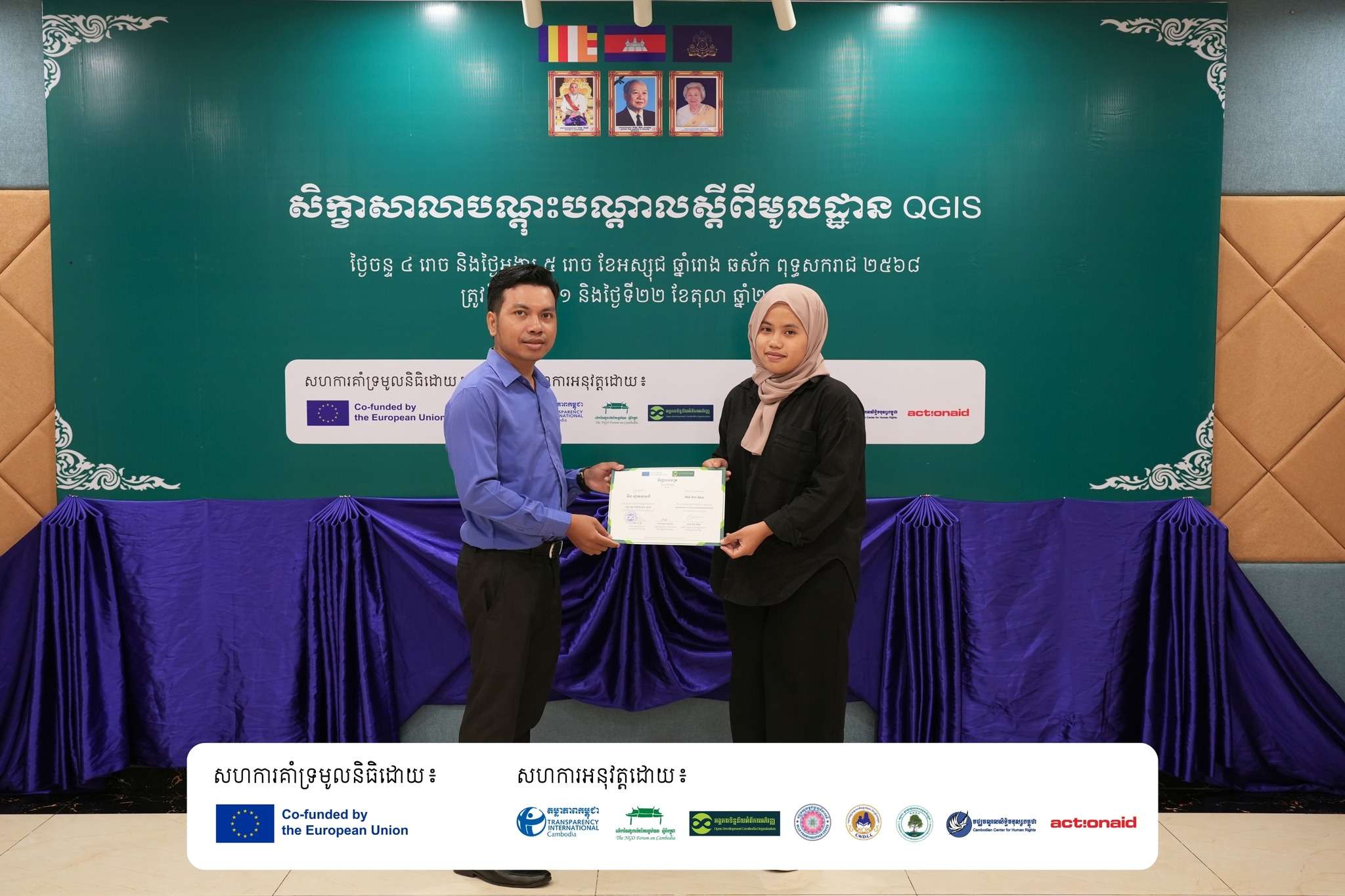
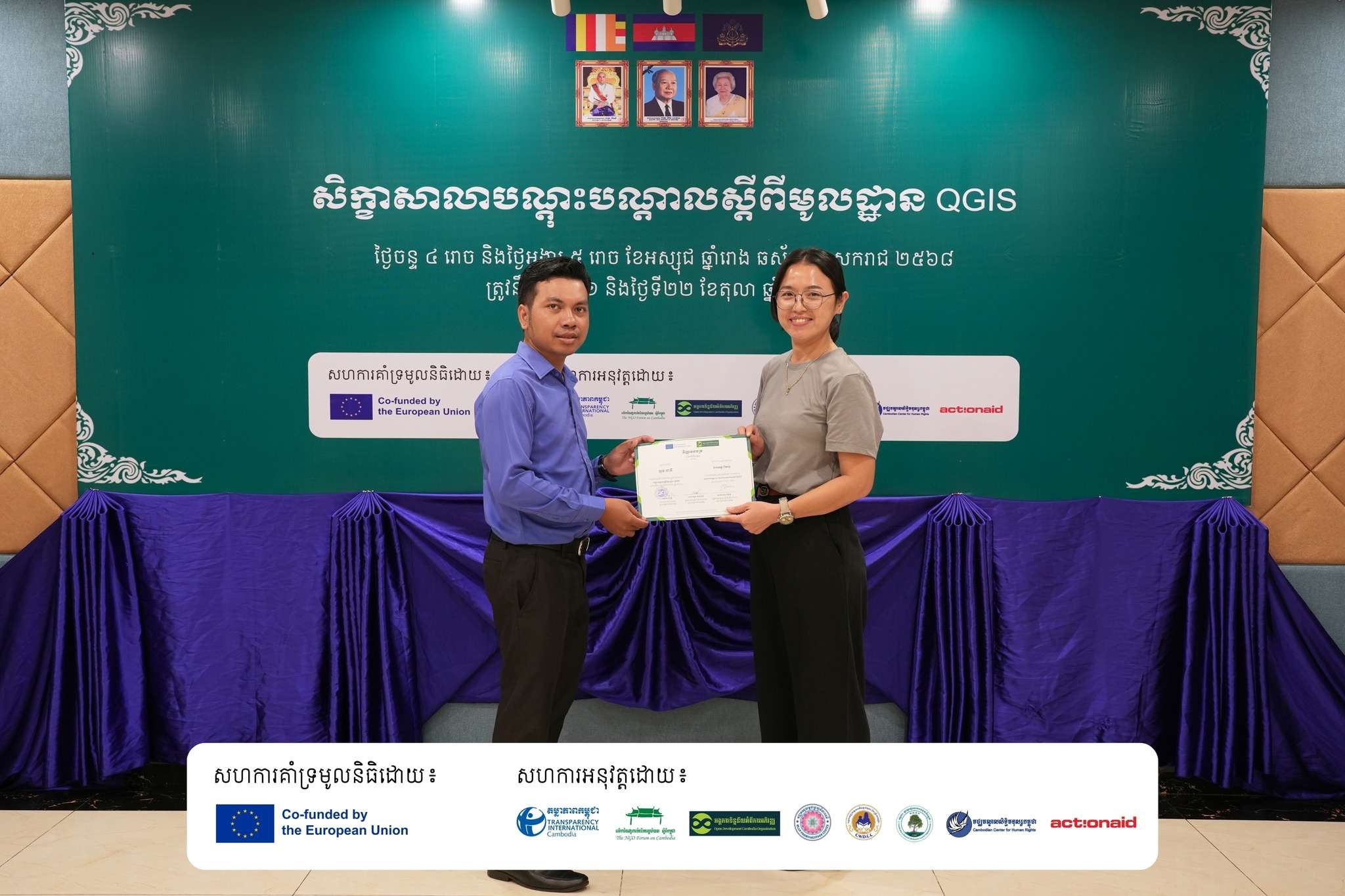
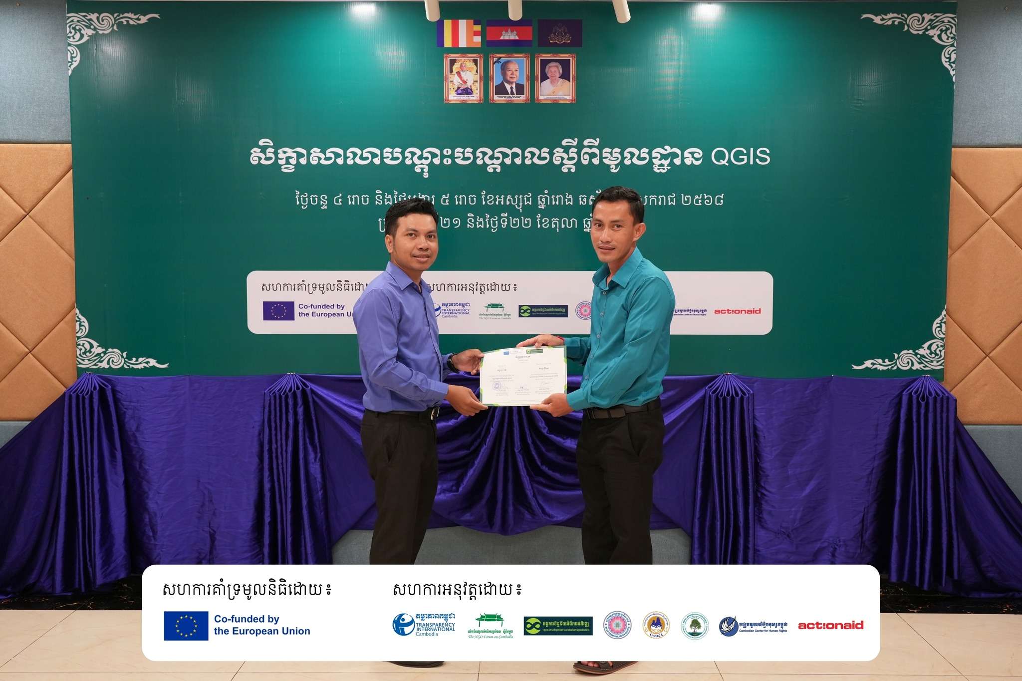
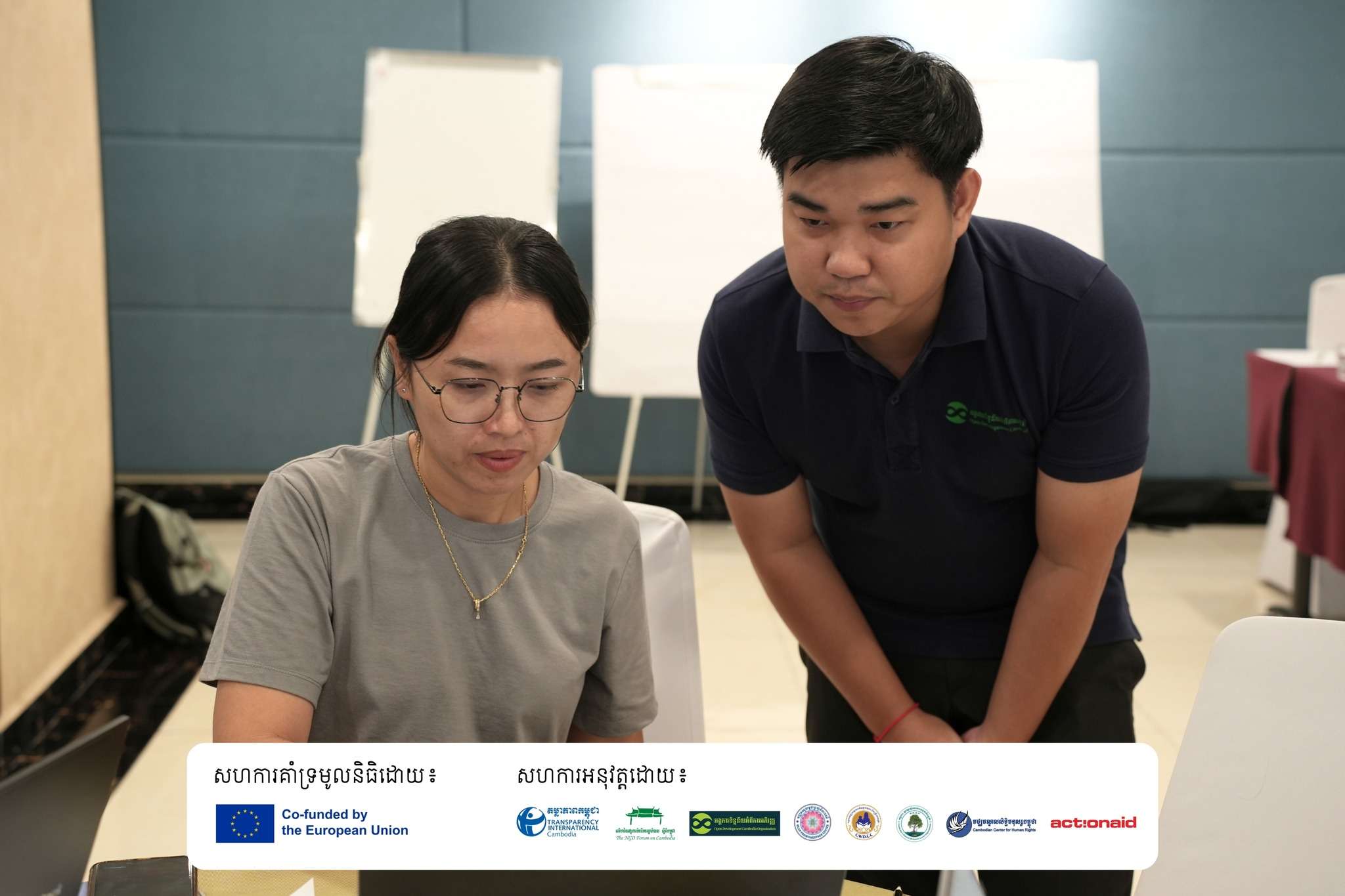
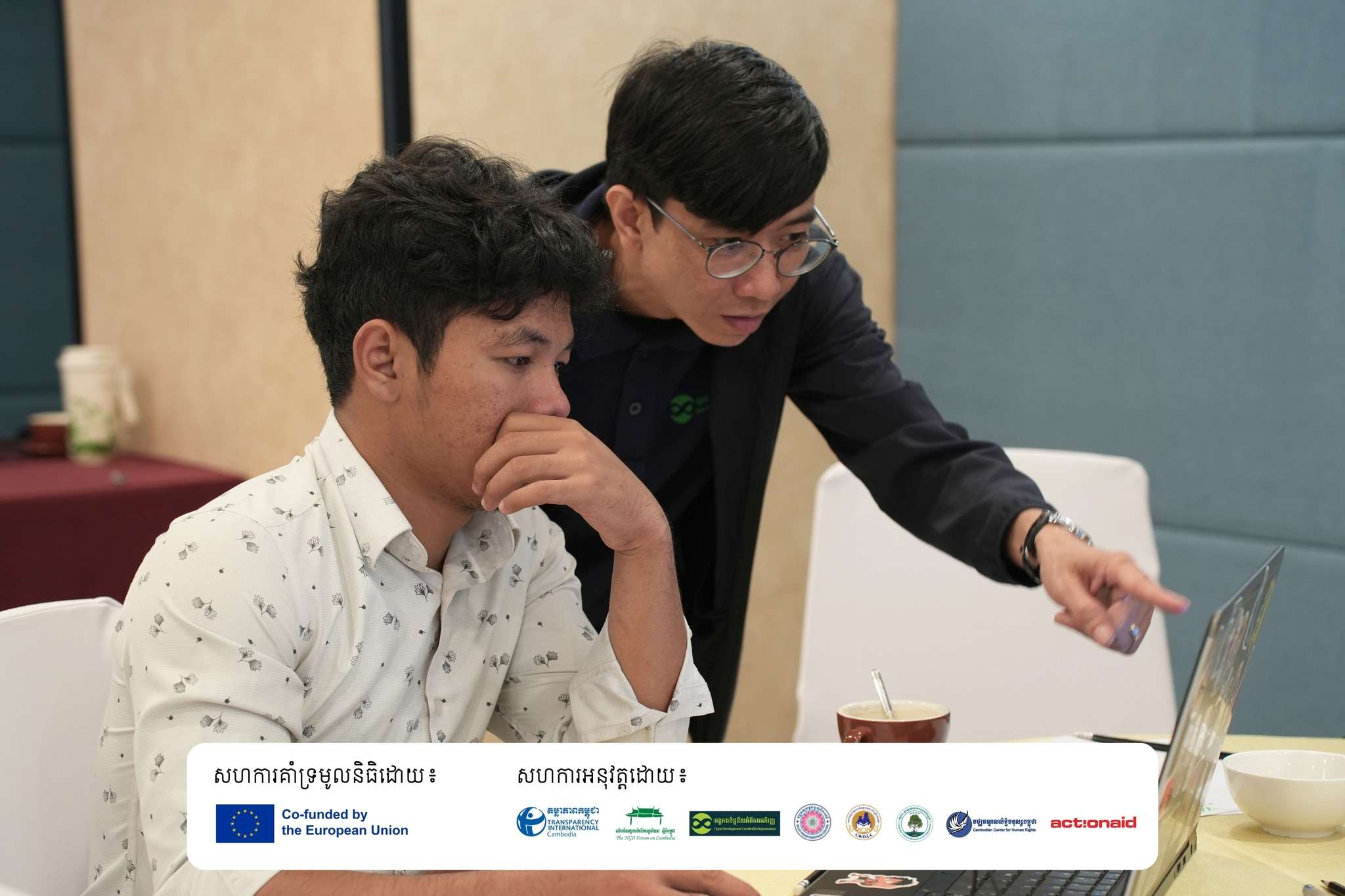
The second day focused on practical QGIS applications using geoprocessing tools, data styling, attribute tables, map layout designs, and hands-on mapping exercises focusing on coastal community fisheries. Participants applied their learning through practical exercises using data from the ODC website. Before the end of the training, ODC demonstrated the Learning Platform, a free one-stop-shop knowledge-sharing portal where the trainees can access many learning resources and training materials, including video tutorials of the QGIS application in Khmer. The two-day training concluded with post-tests and a certificate handed.


This training marks a significant step forward in empowering local CSOs to manage geographic data and the ability to create map visualization with QGIS to improve the effectiveness of their daily work and project implementation in the target areas. in Cambodia’s coastal regions.