Strengthening the Forest Disturbance Platform through community engagement
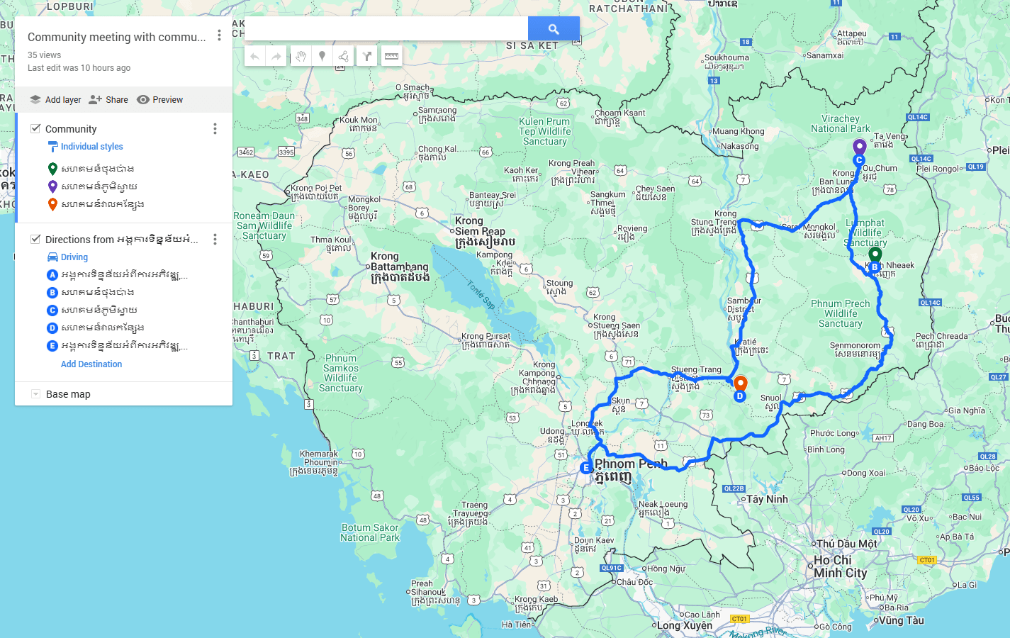
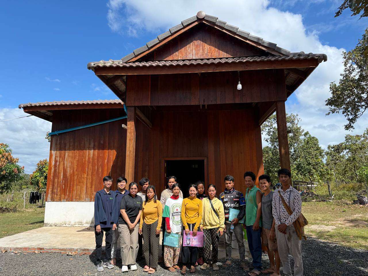
The Open Development Cambodia (ODC) team conducted field visits to three communities in Mondulkiri, Ratanakiri, and Kratie provinces to hold community meetings and gather local input. These engagements helped deepen understanding of community needs, challenges, and local geographic contexts, and informed improvements to the forest disturbance platform to ensure it is more relevant, accessible, and useful for community-level forest monitoring and decision-making.
Community Consultation with Thong Pang Village, Koh Nheak District, Mondulkiri Province on Mapping and the Forest Disturbance Platform
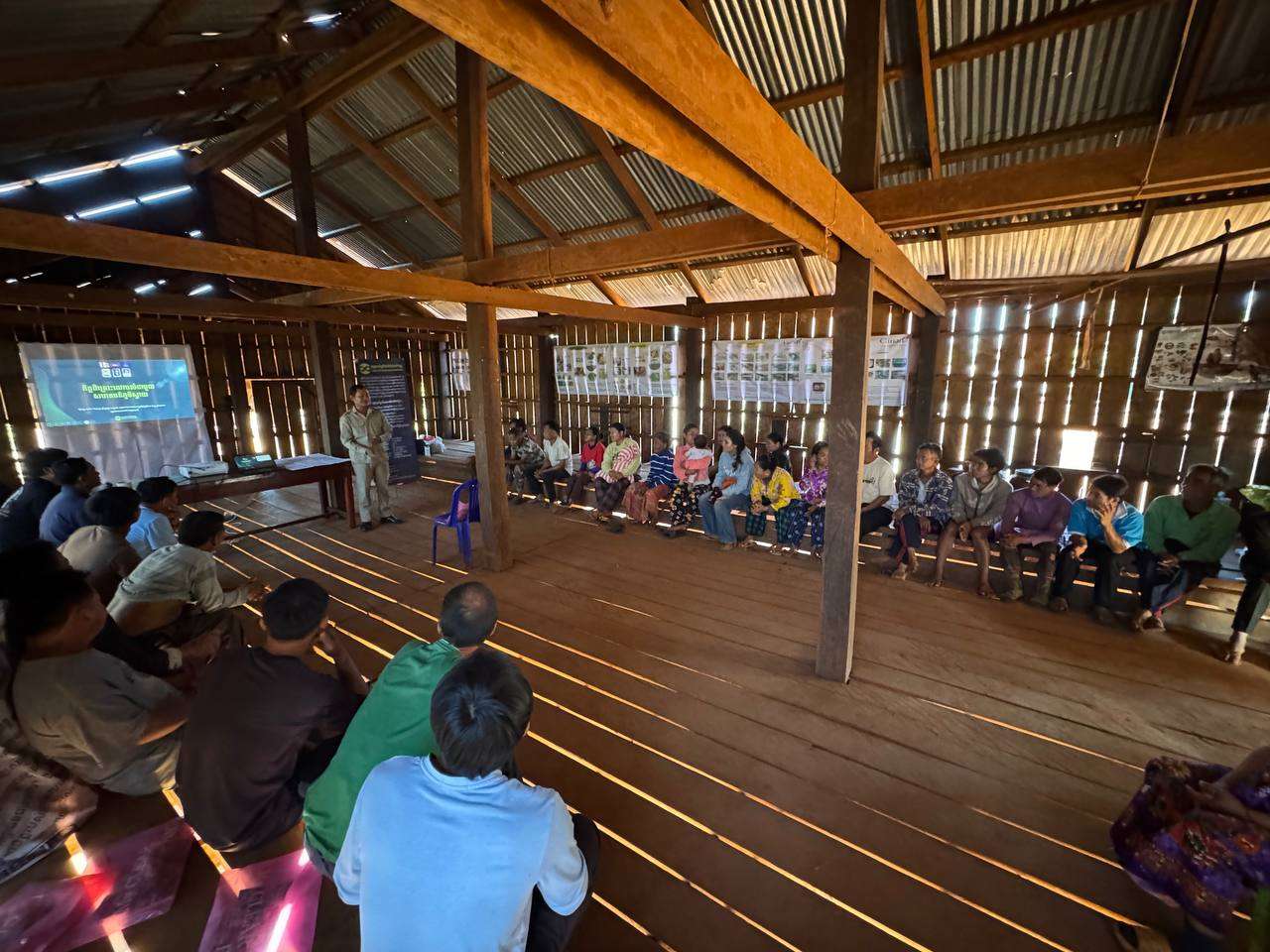
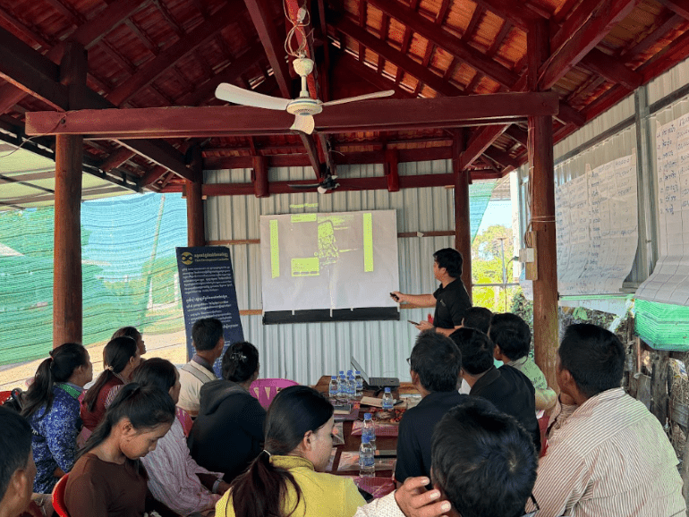
On 21 December 2025, ODC held a community meeting with members of the Thong Pang community in Koh Nheak District, Mondulkiri Province. The meeting brought together 11 participants, including five women, to discuss community mapping, the digital tools of the forest disturbance platform, and key forest conservation challenges, as well as to gather inputs from the community.
The meeting began with an introduction by Ms. Ourn Vimoil, who presented ODC’s mission and welcomed all participants. This was followed by a presentation from Mr. Sam An Mardy, who provided an overview of community mapping, explaining its purpose and how maps can support local land and forest management.
During the discussion, community members shared key challenges they face in forest conservation. These included limited budgets, issues related to state-owned authority over land and forest areas, and the environmental impacts of state land management. Participants also highlighted technical challenges, as most community members rely primarily on mobile phones and have limited access to other digital tools.
To better understand participants’ familiarity with mapping, the facilitators asked about their experience with maps and digital mapping tools. When shown the Google Maps logo, some participants recognized it while others did not. Community members explained that although they often need to find routes to specific locations, they are not familiar with using Google Maps for navigation. Instead, they primarily use Telegram to communicate and share information within their local community.
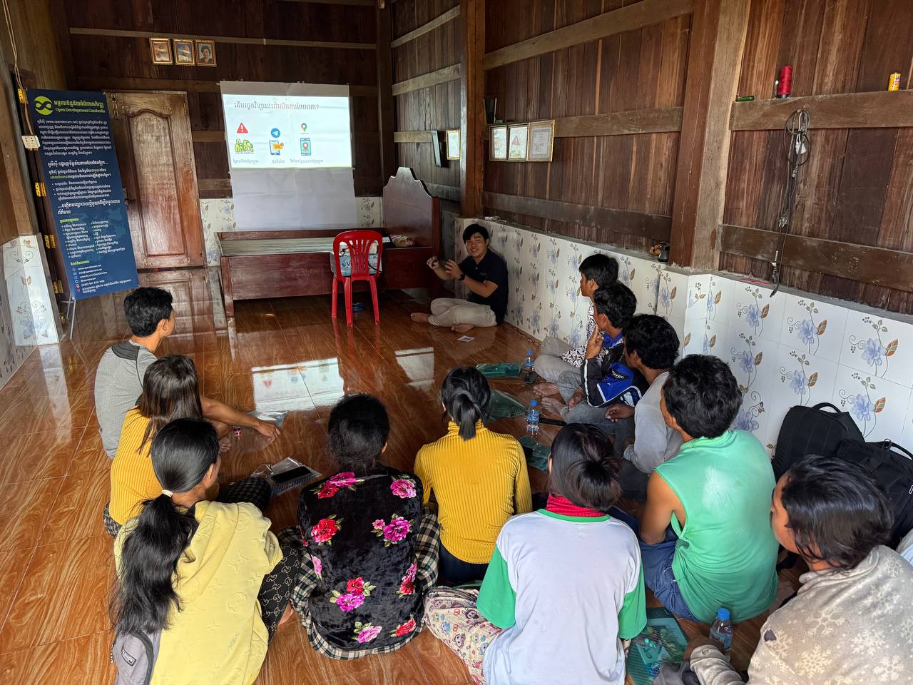
Mr. Mardy then introduced the Telegram-based forest disturbance platform, explaining how it provides updates on forest changes and deforestation alerts. Participants were shown how to obtain geographic coordinates and view locations using Google Maps. The community expressed strong appreciation for the deforestation alert messages and showed keen interest in how the system works.
Several participants asked detailed questions, including how frequently alerts are sent and whether the system can detect the cutting of a single tree. Mr. Mardy explained the general process behind the alerts, noting that forest changes are detected over time rather than instantaneously.
At present, the Thong Pang community does not yet have its own community map. However, the meeting marked an important first step in raising awareness of digital mapping tools and forest monitoring systems that could support future community-led mapping and forest conservation efforts.
The meeting concluded with a group discussion and hands-on guidance led by Mr. Sam An Mardy, Mr. Loch Kalyan, Mr. Chheng Hongchhay, and Ms. Ourn Vimoil. Facilitators provided practical demonstrations to help participants gain direct experience in using Google Maps to interpret forest disturbance information. This included step-by-step guidance on how to open and understand forest disturbance alert messages shared with the community via Telegram, which serves as a key communication tool for deforestation monitoring. Through this practical session, community members gained a clearer understanding of how digital mapping tools and alert platforms can support local efforts to monitor and protect their forest resources.
Community consultation with Svay Village, Ou Chum District, Ratanakiri Province on Mapping and the Forest Disturbance Platform
On 22 December 2025, ODC organized a community meeting in Svay Village, Ou Chum District, Ratanakiri Province, to introduce the Forest Disturbance Platform and strengthen community participation in forest monitoring. The meeting was attended by 44 community members, including 20 women, demonstrating the community’s eagerness to learn about and engage with new tools and approaches.
The meeting began with a warm welcome from Ms. Vimoil, who thanked all participants for joining the discussion. Mr. Kang Vuthy, Sub-village Chief of Svay village, then highlighted the main objective of the meeting: to collaborate with ODC in monitoring forest changes within the community and to gather feedback from local participants to further improve the platform.
Mr. Vuthy also reminded participants of the sacrifices made by soldiers protecting the national border. He encouraged everyone to feel comfortable sharing ideas and experiences during the meeting, emphasizing the importance of unity and cooperation within the community.
ODC team member Mr. Mardy led the main discussion session by asking participants about their preparations before forest patrols and how they identify patrol destinations. Participants shared their experiences and challenges, particularly in relation to illegal deforestation activities in the village. Some community members explained that when illegal logging is detected, they report cases to the police or relevant authorities, while others described alternative strategies, such as directly stopping or detaining illegal loggers to prevent further forest destruction.
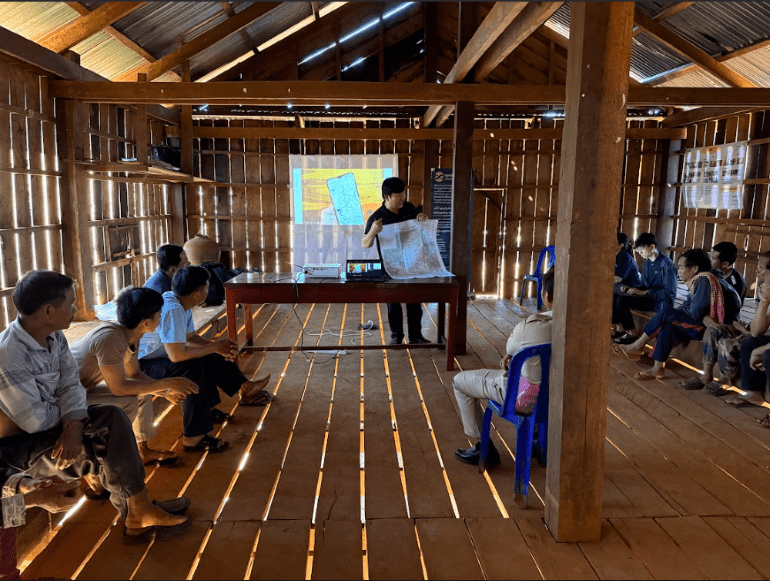
During discussions on technical support, participants expressed a strong interest in using drones and cameras installed at forest entry points to improve monitoring and evidence collection. These tools were viewed as important for strengthening patrol effectiveness and enhancing forest protection. Mr. Mardy then introduced the use of analogue maps and distributed printed map images to participants. Many participants noted that they were not yet familiar with digital maps. To address this, Mr. Mardy explained that digital maps function similarly to analogue maps but require internet access and can be used on smartphones. He also demonstrated how Google Maps can help identify routes to patrol destinations and target locations, making patrol planning easier and more accurate.
Most participants were already familiar with Telegram and actively use it for communication. Mr. Mardy introduced the Telegram group and channel connected to the ODC Forest Disturbance Platform and explained how the automated alert messages function. When forest disturbance or deforestation is detected, participants receive Telegram alerts containing key information, including the date range of the disturbance, affected area, location, and coordinates, links to Google Maps and the ODC Forest Disturbance Platform, and downloadable KML files for further use. This system enables community members to respond more quickly and coordinate patrol efforts more effectively.
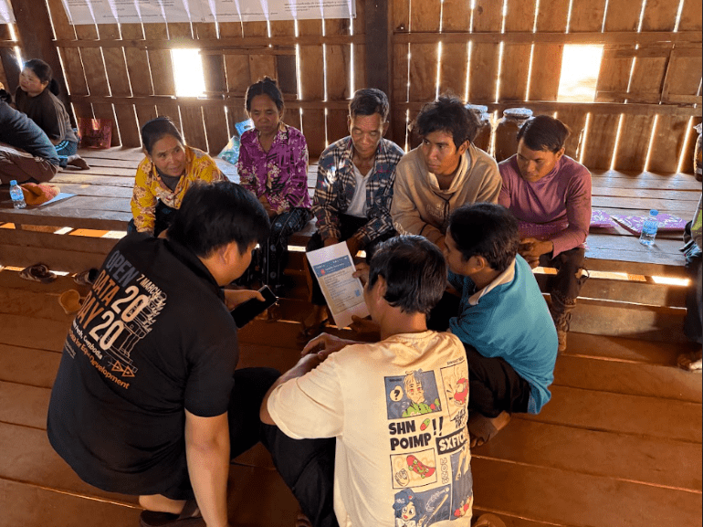
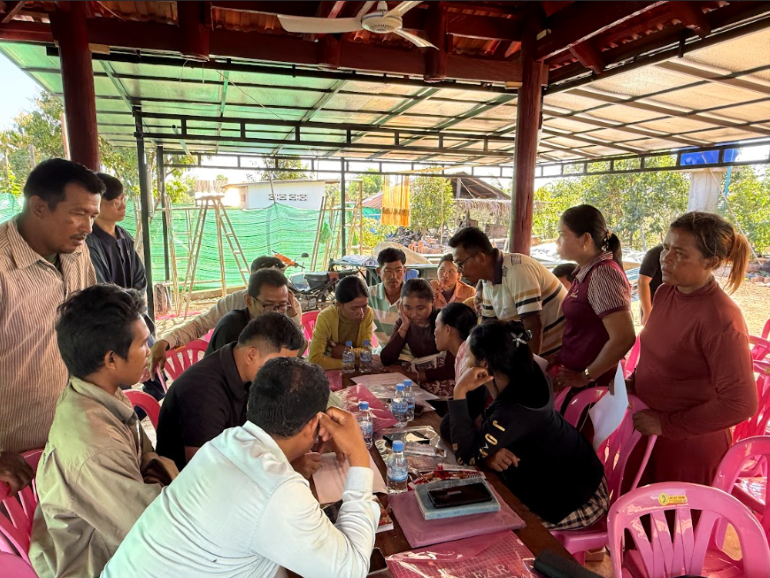
Following the introduction, the 44 participants were divided into four discussion groups, with each group receiving guidance from the ODC team. After the group discussions, participants shared positive feedback and expressed appreciation for the opportunity to exchange ideas. They also suggested that additional visual materials and photographs would help improve understanding of forest disturbance information.
The meeting concluded with closing remarks from Ms. Ourn Vimoil, who thanked all participants, village authorities, and sub-village leaders for their active engagement. She emphasized ODC’s commitment to further improving forest disturbance tools tailored to local community needs. ODC encouraged participants to remain active in the Telegram group and channel, which serve as important platforms for keeping the community informed and connected.
As the Forest Disturbance Platform continues to be developed and implemented, ODC hopes to see increased participation and a growing number of subscribers working together to protect forests in Svay village and beyond.
Community Consultation with Veal Kansaeng community, Chhloung District, Kratie province on Mapping and the Forest Disturbance Platform
The ODC team conducted a community consultation and technical engagement with the Veal Kongsaeng Community in Kampong Damrey commune, Chhloung district, Kratie province, on 24 December 2025, with the participation of 18 community members, including 9 women. The meeting was originally scheduled for 23 December 2025, but was rescheduled to the morning of 24 December at 8:00 a.m. at the request of the community due to their availability.
The meeting began with an introduction to ODC and welcoming remarks by Ms. Ourn Vimoil, who encouraged all participants, both women and men, to actively share their experiences, needs, and challenges. She emphasized the importance of inclusive community input in improving tools and technical support for community forest protection.
Following the opening session, Mr. Sam An Mardy facilitated a discussion with community members, who shared their experiences conducting forest patrols using the SMART tool. He asked how patrols are conducted and what challenges the community faces during patrol activities.
Participants identified several key challenges, including:
- Flea infestations
- Limited transportation and poor road conditions
- Insufficient budget for patrol operations
- Difficulty accessing timely support from technical experts
- Safety risks and potential accidents during patrols, with no available budget for accident coverage
- Basic equipment such as jungle shoes and first-aid kits
The community also highlighted several technical support needs, including:
- Maps and cameras for patrol activities
- Improved technical skills to effectively use existing equipment
- Training on wildlife release techniques during patrols
The session continued with a technical introduction to community mapping, during which Mr. Mardy explained how mapping can support communities in visualizing patrol routes, identifying key locations, and highlighting areas of concern.
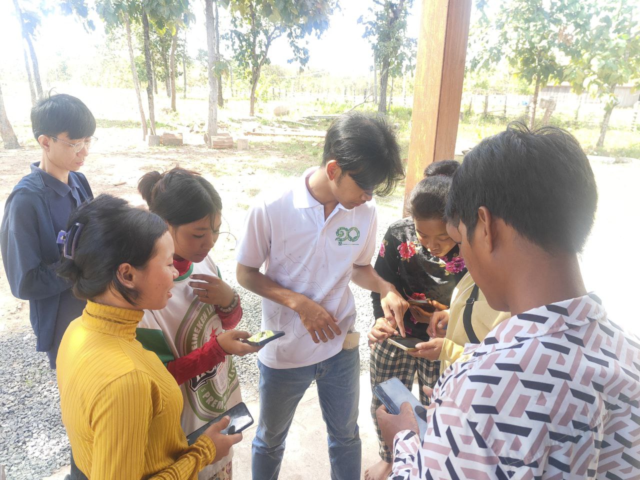
During the discussion on digital mapping, participants shared that although they were aware of digital mapping tools, their overall understanding and confidence in using them remained limited. Approximately 30% of participants reported having used Google Maps, but only at a basic level. In response, Mr. Mardy demonstrated the Google Maps interface, explaining how digital maps can display routes and enable users to interactively locate places.
This was followed by a hands-on exercise in which participants practiced using Google Maps to locate the Chhloung District Hall, identify travel routes, and estimate travel time.
At the end of the session, participants were invited to scan a QR code to join a dedicated Telegram group, which will serve as the primary communication channel between ODC and the community for ongoing coordination and support.
Through the Telegram group, ODC introduced the Forest Disturbance Platform, sharing forest disturbance alerts that include:
- Date range of disturbance
- Affected land size
- Area coverage and geographic coordinates
- Direct links to Google Maps and the forest disturbance platform
During group discussions, participants expressed a strong interest in accessing forest disturbance data at a more localized scale to better support monitoring of deforestation within their community forestry areas.
Before the consultation concluded, Ms. Ourn Vimoil thanked all 18 participants for their active engagement and valuable feedback. She emphasized that the tools introduced during the session are intended to equip communities with practical knowledge for effective forest monitoring. She also encouraged participants to continue sharing feedback through the Telegram group and to invite other community members to join, noting that the group will serve as an ongoing platform for communication and collaboration.
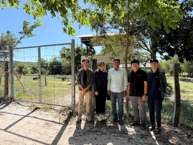
Following the meeting, the ODC team coordinated with Mr. Som Saray, a representative of the Veal Kongsaeng Community, to conduct a field visit to the Veal Kongsaeng Community Forestry area. The field visit provided valuable learning opportunities and deepened the team’s understanding of the community’s needs and challenges in protecting their forest resources.
ODC remains committed to working closely with local communities to strengthen access to information, enhance technical capacity, and support inclusive, community-led forest monitoring initiatives.