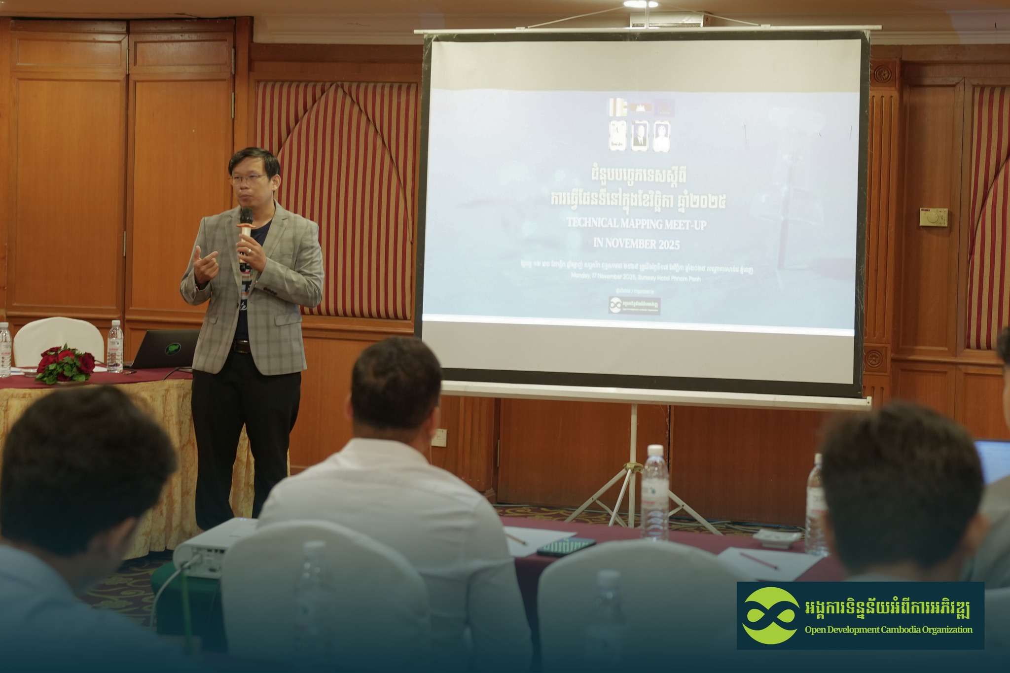
Technical mapping meet-up: strengthening forest mapping through geospatial technology
Open Development Cambodia (ODC), with support from Norwegian People’s Aid (NPA), hosted a half-day “Technical Mapping Meet-Up” on 17 November 2025. The event created an open space for technical experts and local stakeholders to exchange ideas and explore how geospatial tools can advance forest conservation in Cambodia. The meet-up aimed to:
- Promote knowledge exchange on forest mapping tools
- Strengthen technical networks among local actors
- Encourage collaboration in forest monitoring and conservation
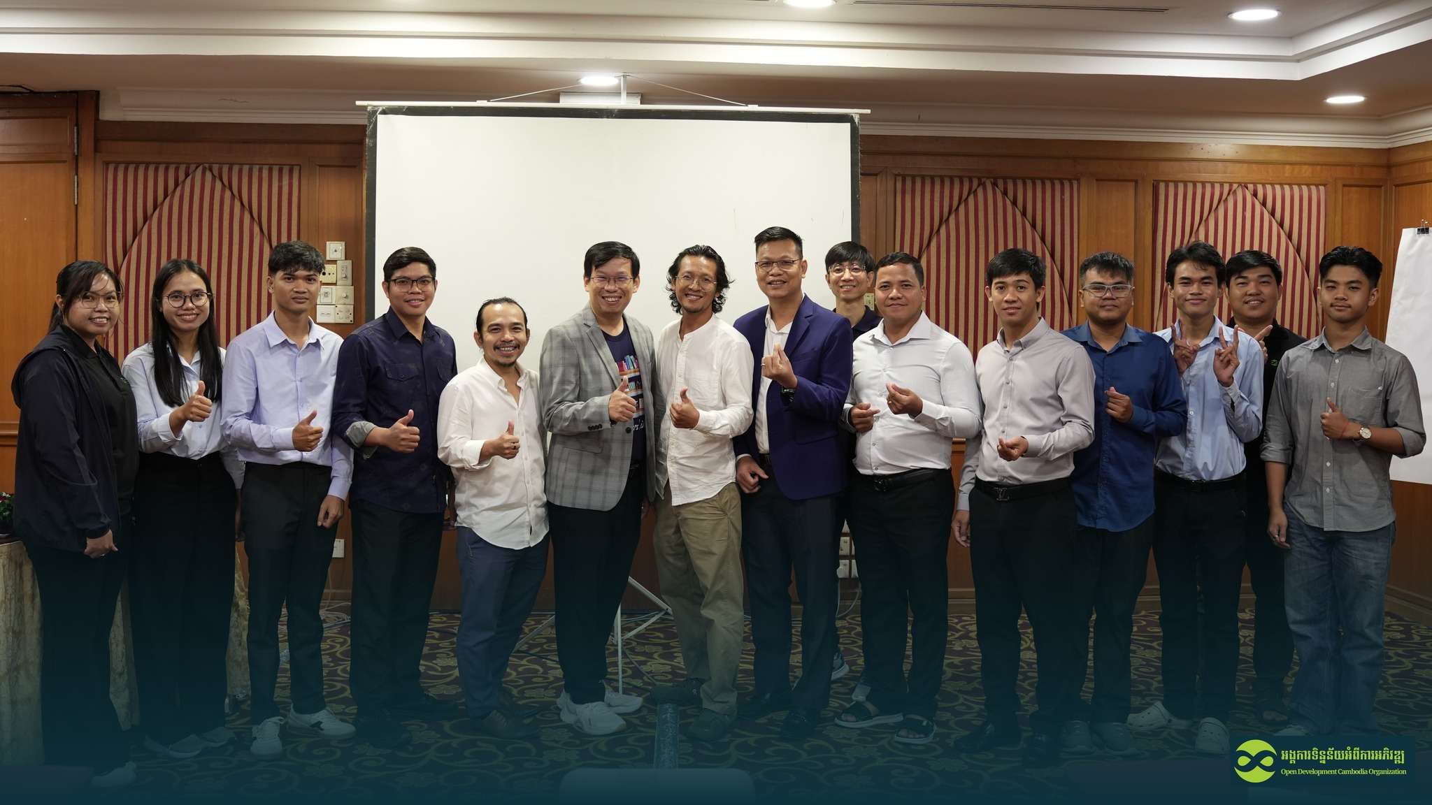
A total of 16 participants, including experts, researchers, students, CSOs, and private-sector representatives, joined the discussion on how technology can empower communities to protect Cambodia’s forests.
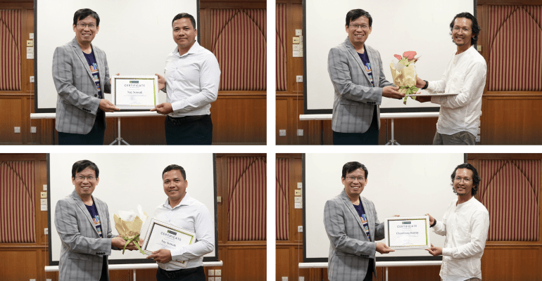
Mr. Thy Try, Executive Director of ODC, welcomed participants and introduced the mapping program. He emphasized the importance of accessible forest data and cross-sector collaboration in tackling Cambodia’s environmental challenges.
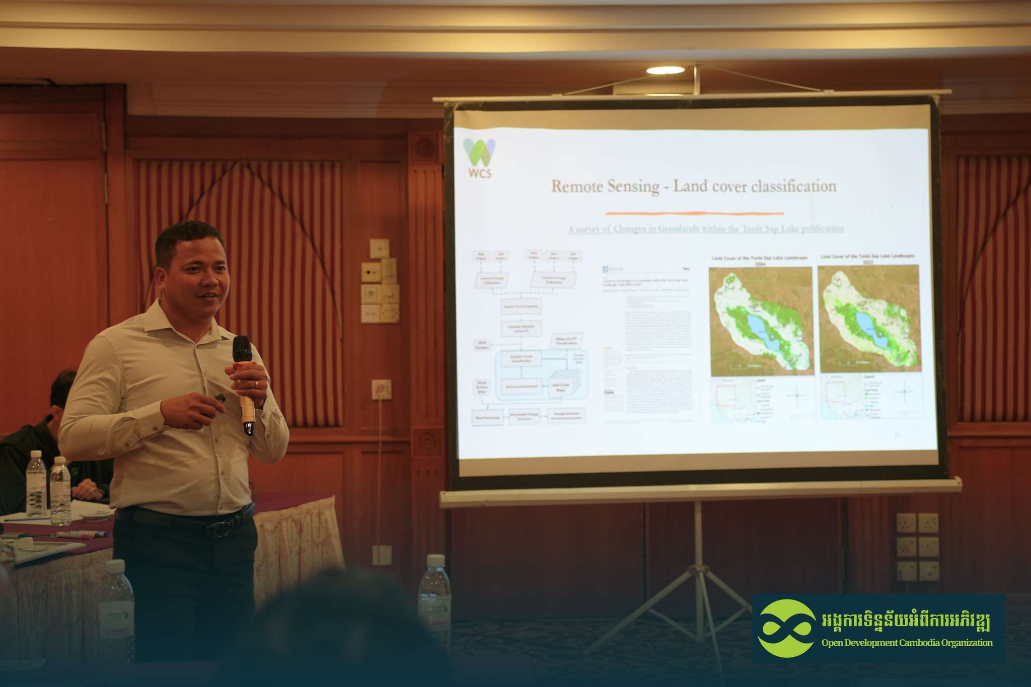
Presentation 1: The Role of Geospatial Technologies in Modern Forestry
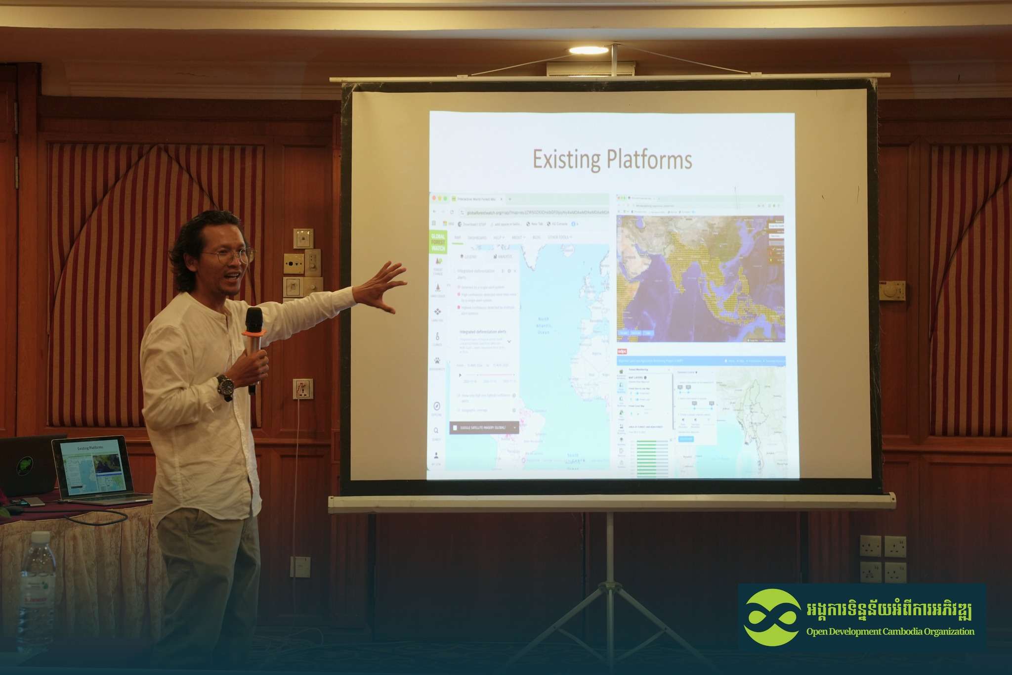
The first speaker, Mr. Chanthong Bormy, presented on “The Role of Geospatial Technologies in Modern Forestry.“ He introduced key concepts in GIS, forest inventory, and forest mapping, outlining how modern geospatial techniques support:
- Monitoring forest change
- Planning and land-use management
- Enabling communities to make data-driven decisions
Mr. Bormy highlighted the value of remote sensing technologies, including high-resolution satellite imagery and digital mapping platforms, which make near-real-time forest monitoring possible.
During the Q&A session, participants expressed interest in a forest disturbance monitoring platform. Mr. Bormy explained that community empowerment was central to its design: “We want communities to access information they never had before. They live closest to the forest, and by giving them transparent data, they can better protect their land and contribute to climate resilience.”
Presentation 2: Approaches to Forest Cover Generation
The second speaker, Mr. Nay Sonsak, provided a technical walkthrough on forest cover generation. His presentation covered:
- Data preprocessing
- Accessing up-to-date satellite information
- Classification techniques
- Accuracy assessment
- Integrating local field data to validate remote sensing results
He emphasized that GIS is far more than map-making: “GIS is not only mapping, but a technology that allows us to capture, store, analyze, manage, and visualize spatial data.” He reiterated that understanding GIS as an analytical and decision-support tool is crucial for visualizing patterns and monitoring changes in forest landscapes.
A lively discussion followed, with participants exploring how these mapping approaches can support conservation planning and policy. They also discussed the new national coordinate system, CGD23, which is now required for use in Cambodia.
The event concluded with final reflections, a group photo, and a networking lunch. To improve future meet-ups, ODC conducted an evaluation to gather participant feedback. The responses showed that attendees were satisfied with the presentations and felt the event met their expectations. Many expressed enthusiasm for future meet-ups and said they would gladly recommend the event to colleagues and friends.
Participants also shared their interest in future topics related to GIS and remote sensing, open geospatial data, environmental analysis, forest monitoring, and other emerging applications of spatial technology.
ODC plans to host another mapping meet-up in December, continuing its engagement with experts, researchers, academics, students, private-sector actors, and journalists on forest detection and monitoring. A public announcement will be made soon to invite participants.