Bridging local knowledge and conservation: Reflections from our community mapping workshop in Mondulkiri
In many discussions surrounding environmental conservation, we often rely on high-tech satellite imagery and broad data to understand the health of our forests. While these tools provide a macro-level perspective, they often miss the human element, the deep historical, cultural, and daily connections that local communities share with their land.
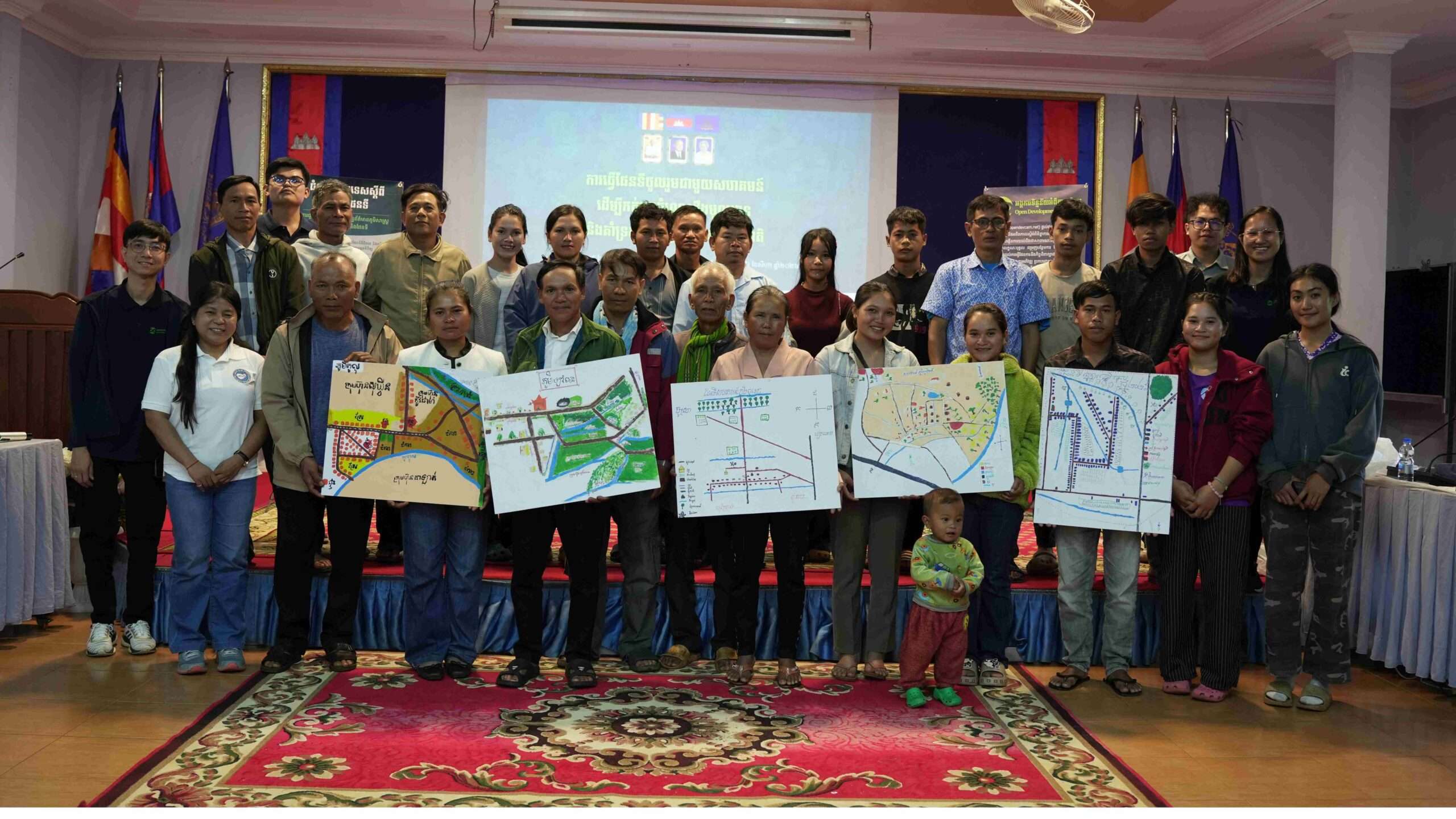
To bridge this gap, Open Development Cambodia Organization (ODC) recently gathered with local community members on 6 August 2026, in Mondulkiri Province for a workshop on “Participatory Community Mapping to Document Local Knowledge and Support Natural Resource Management.”
In collaborative with Community Empowerment and Development Team (CEDT), we had the privilege of welcoming 25 participants, representing local indigenous communities and community forestry groups participating in the workshop.
Why participatory mapping is essential
For indigenous and local communities, natural resources are not merely economic assets; they are foundational to identity, culture, and survival. While satellite data can track forest cover loss, it cannot capture:
- The cultural or spiritual significance of specific sacred forests.
- The location of vital water relied upon during dry seasons.
- The intricate pathways and foraging areas that sustain daily livelihoods.
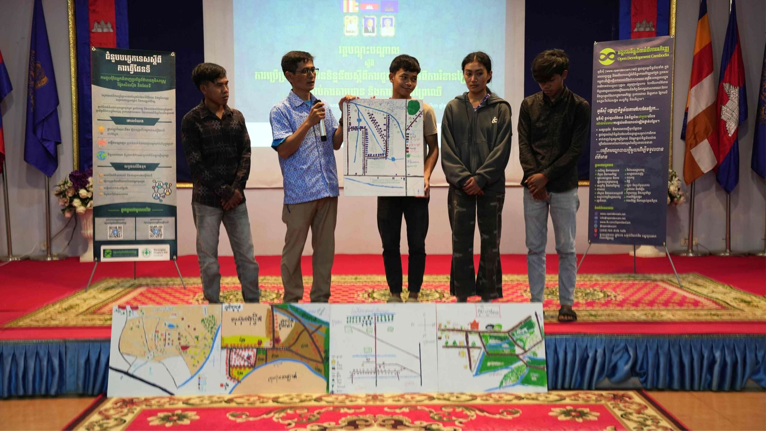
By employing participatory mapping, we invited community members to take the lead in illustrating their territories firsthand. This approach ensures that local wisdom is accurately documented while empowering residents to actively shape conservation priorities.
A collaborative process of mapping and dialogue
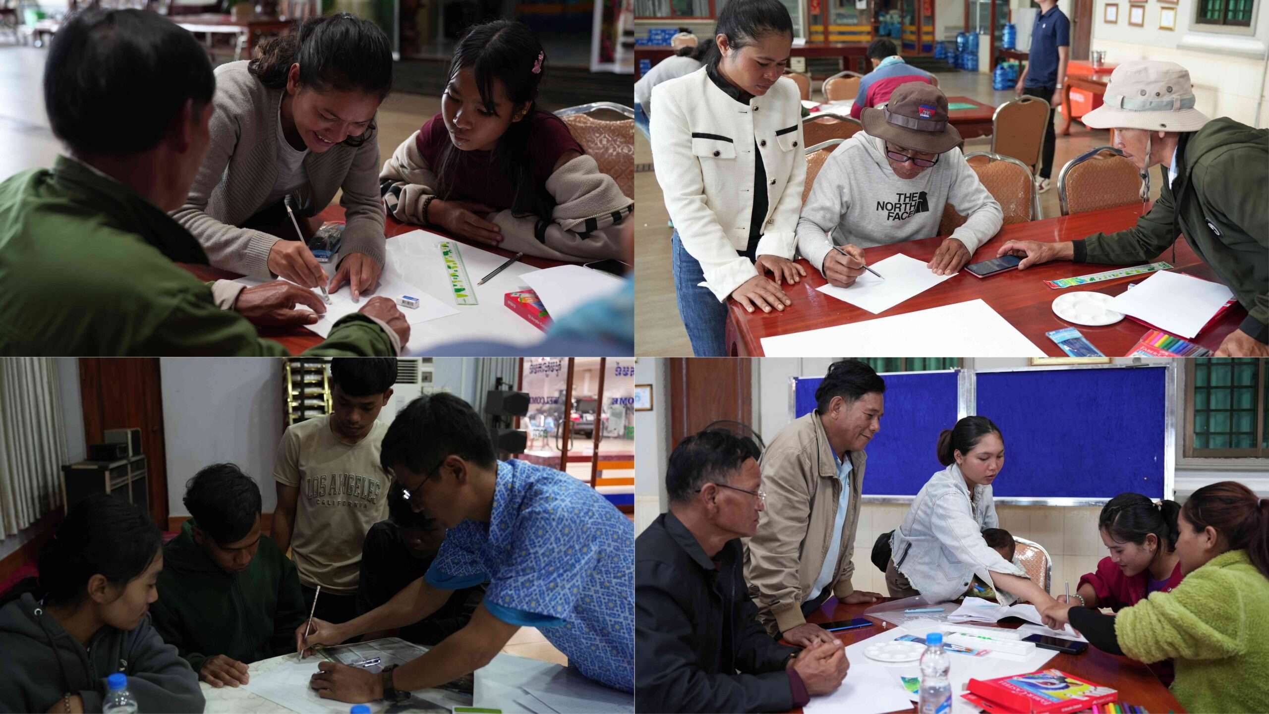
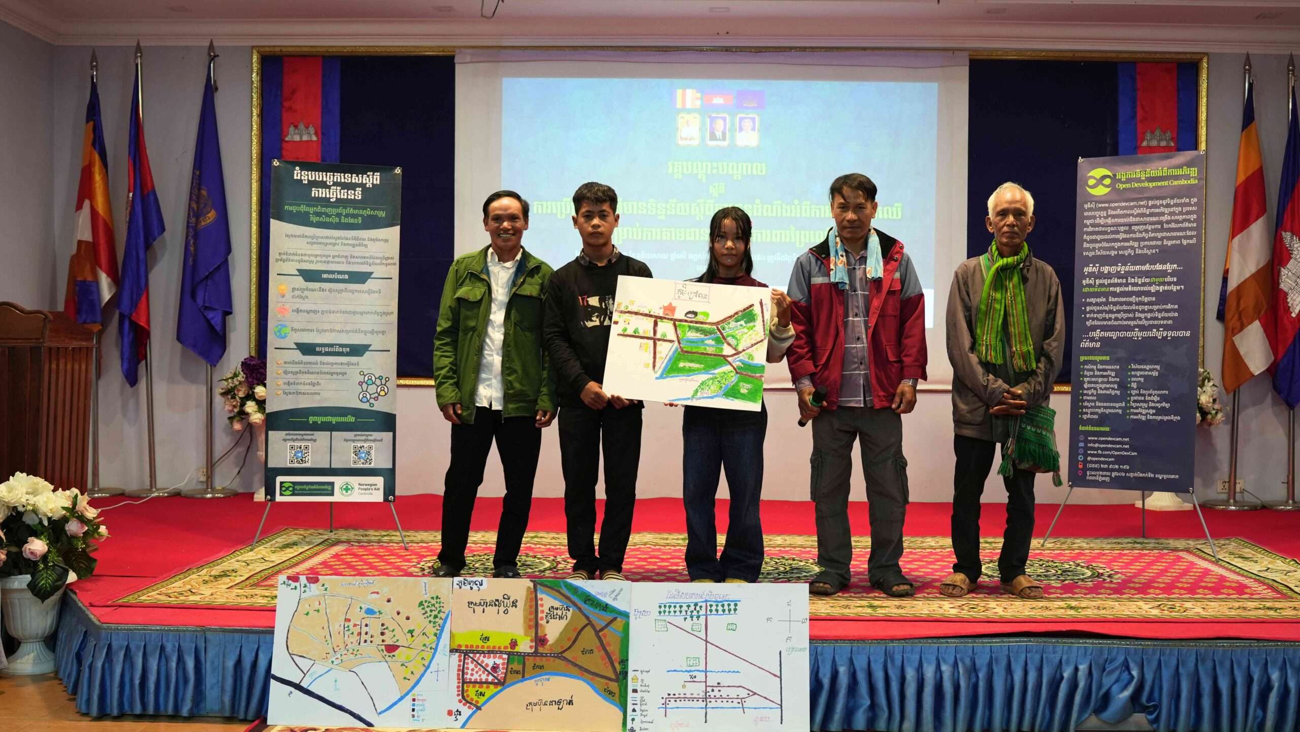
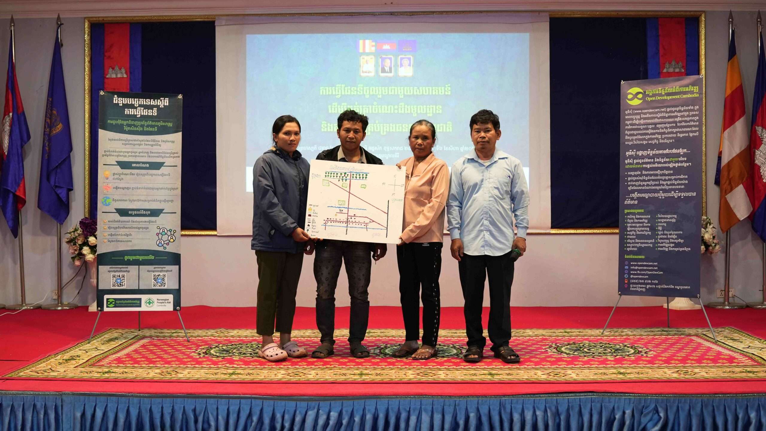
Divided into collaborative working groups, participants actively mapped out their local landscapes. Together, the groups detailed:
- Natural Assets: Forest boundaries, water sources, biodiversity hotspots, and non-timber forest product collection zones.
- Livelihood Spaces: Agricultural plots, grazing areas, and essential community routes.
- Cultural Heritage: Traditional and sacred sites of historical significance.
- Environmental Challenges: Areas experiencing recent ecological changes or resource pressures that require urgent attention.
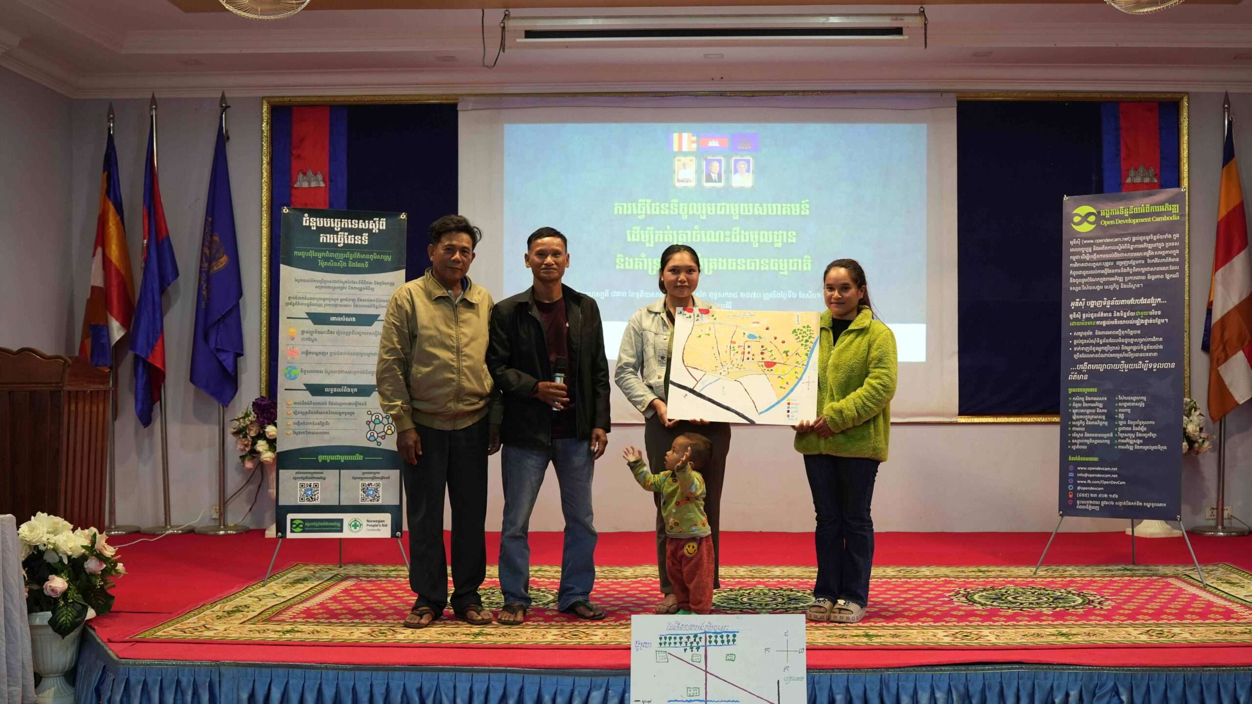
The mapping exercise naturally transitioned into an open, constructive dialogue. Participants reflected on historical environmental changes, analyzed current pressures facing their natural resources, and discussed collective strategies for safeguarding their environment.
Moving forward together
The maps and insights generated during this workshop serve as more than visual illustrations, they represent an authentic community voice. These findings provide a significant baseline for future resource management, grassroots planning, and advocacy.
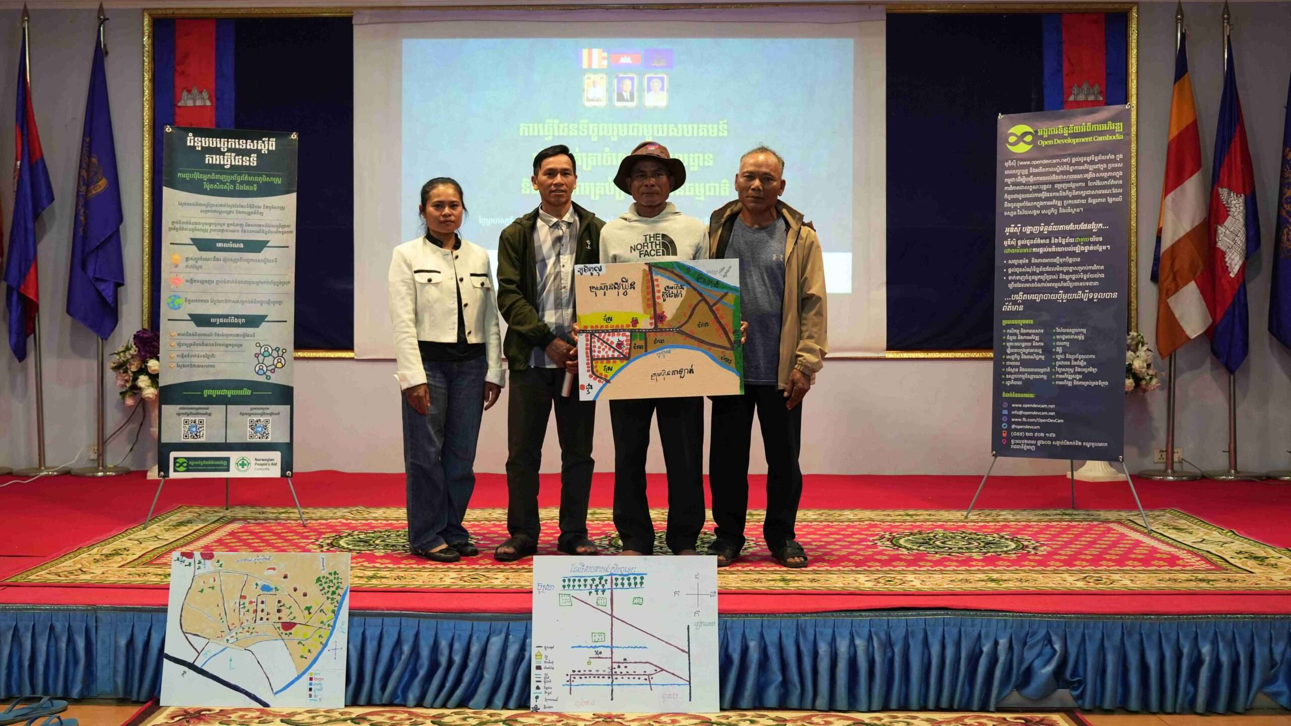
We extend our sincere gratitude to all the community members who shared their time, experiences, and invaluable knowledge with us. Collaborative initiatives grounded in local participation remain essential to ensuring sustainable natural resource management for generations to come.

