Strengthening community forest protection through open data
From 4 to 6 August 2026, Open Development Cambodia (ODC) organized three training workshops in Kratie, Ratanakiri, and Mondulkiri provinces on the use of the Forest Disturbance Alerts Platform to support community-based forest monitoring and protection. This initiative is supported by Global Forest Watch (GFW) and Norwegian People’s Aid (NPA).
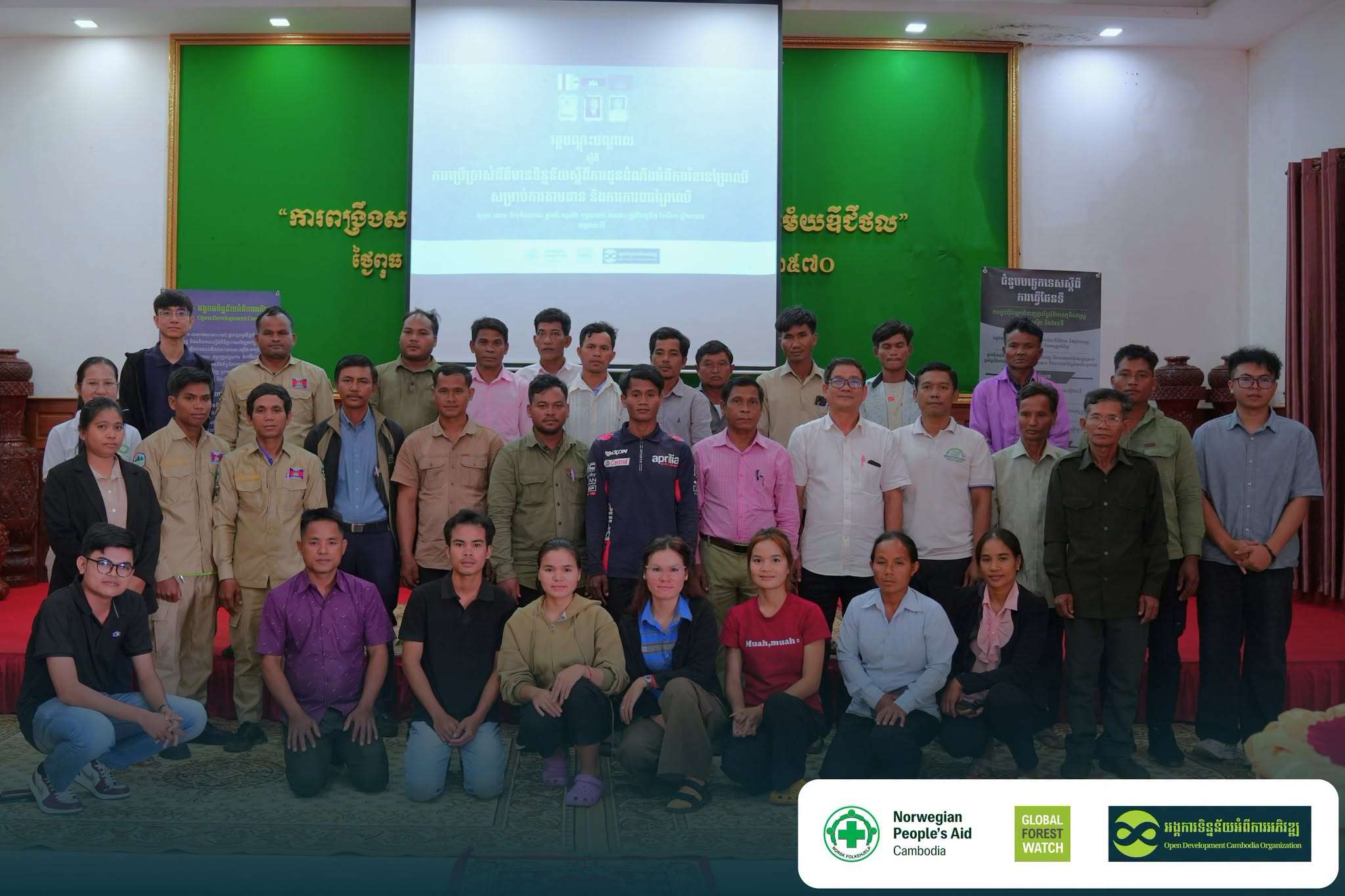
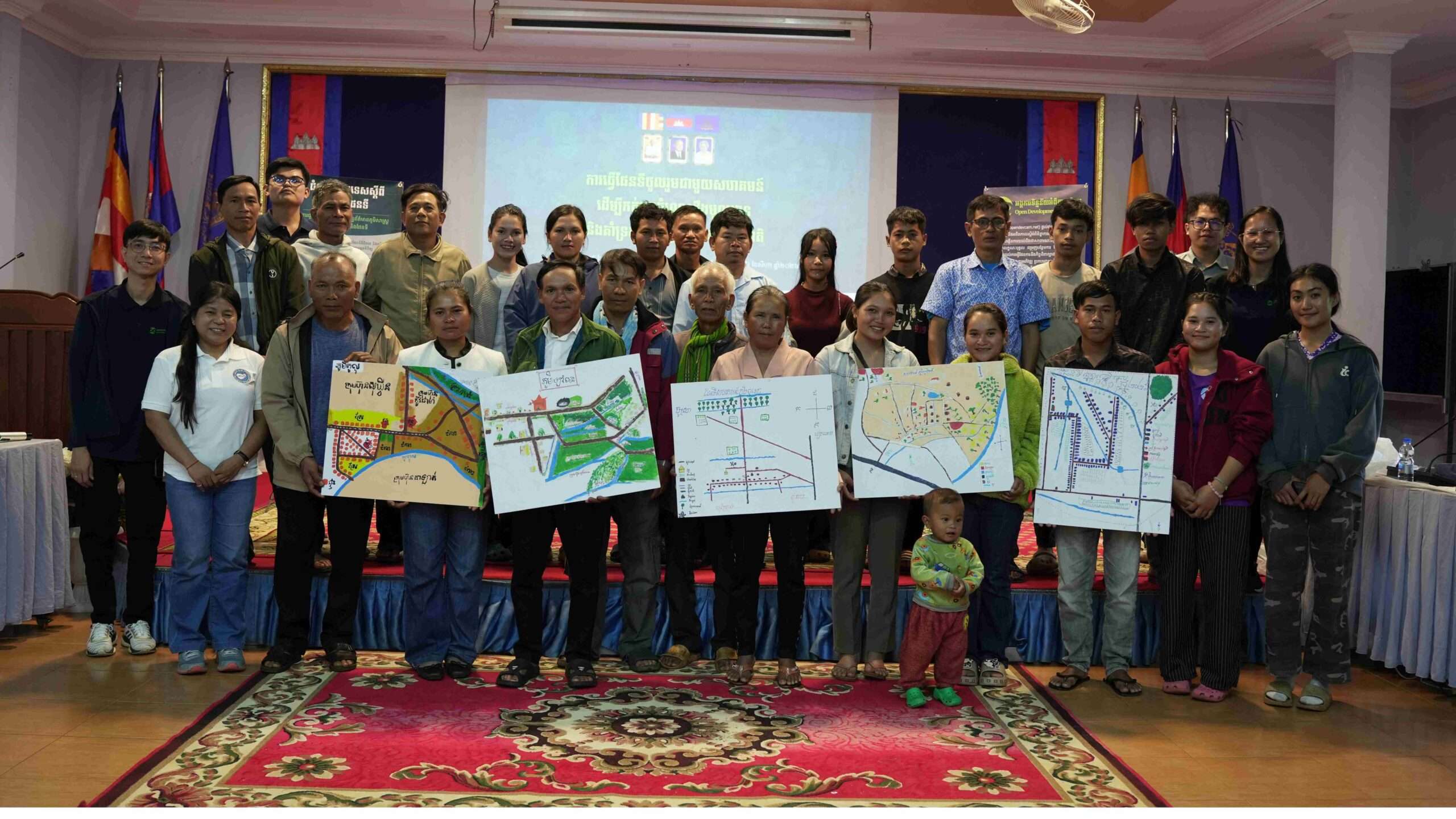
The training, entitled “Training on the Use of Forest Disturbance Alert Data for Forest Monitoring and Protection,” brought together 84 participants, including indigenous community members, community forestry groups, local communities, and community-based organizations from Kratie, Preah Vihear, Stung Treng, Ratanakiri, and Mondulkiri provinces. The training aimed to strengthen communities’ ability to use forest disturbance alert data and digital technologies to monitor, verify, and respond to potential forest disturbances.
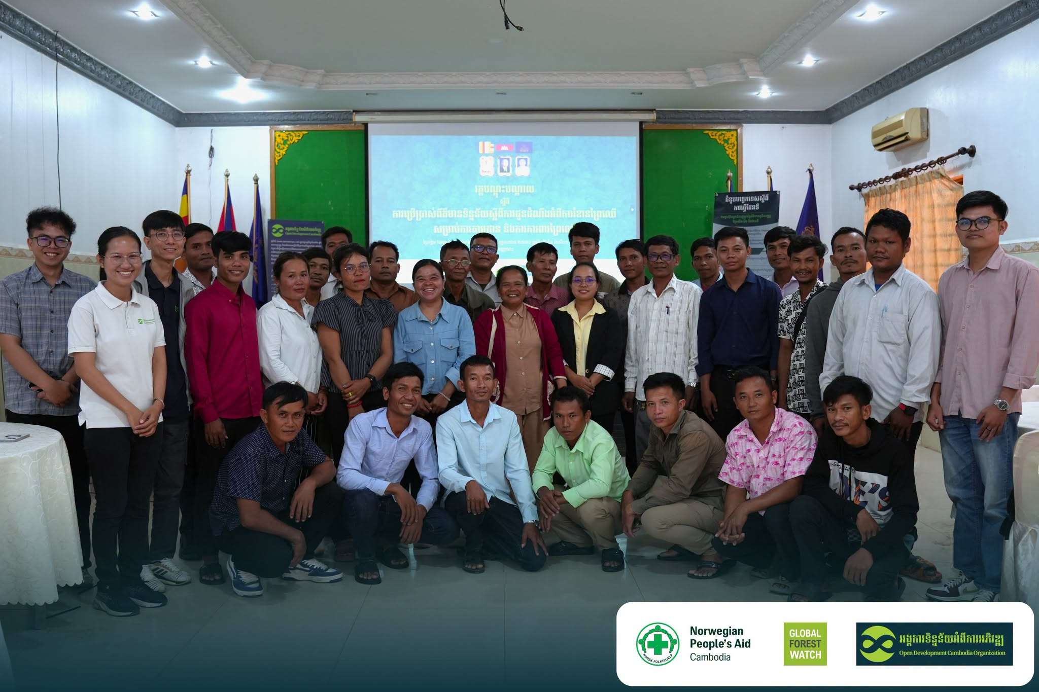
Turning satellite data into information communities can use
Participants were introduced to forest disturbance alert data generated through satellite-based technologies and platforms, including Global Forest Watch, JJ-FAST, and SERVIR Southeast Asia. These sources provide early indications of potential changes or disturbances in forest areas. For communities responsible for protecting forests, knowing where to focus their attention can make patrols and monitoring more effective. The platform can help communities identify potential disturbance areas, view their locations on maps, and use this information to plan field patrols and verification.
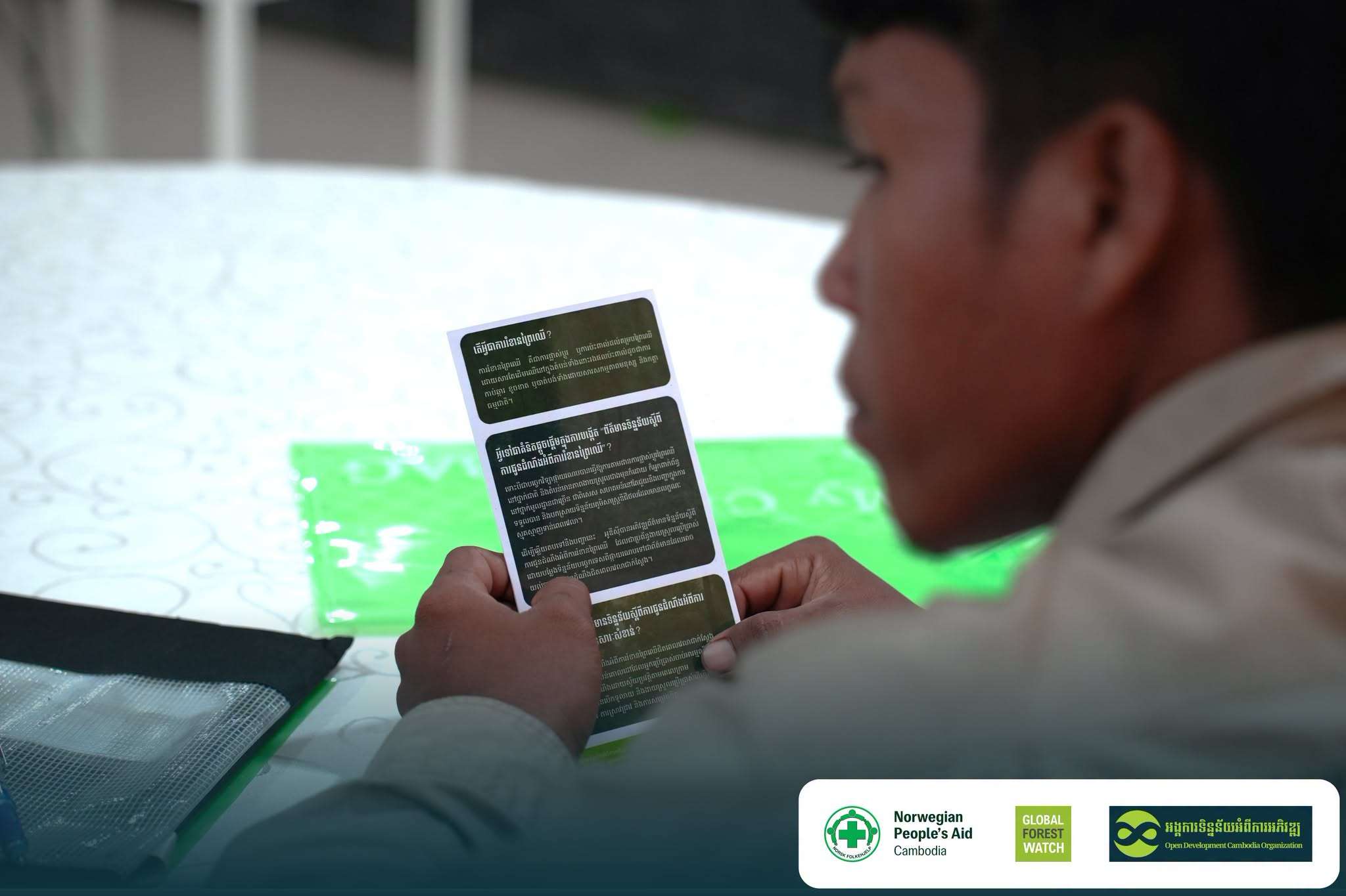
However, the training emphasized an important point: an alert is not confirmation of forest loss or illegal activity. Alerts provide preliminary information that should be reviewed and verified through field observation and local knowledge.
Learning by doing
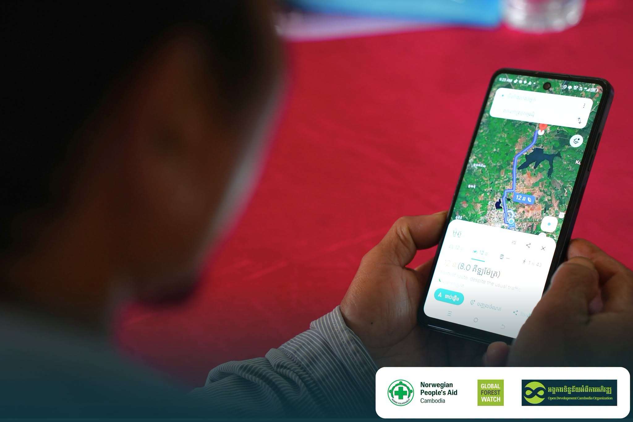
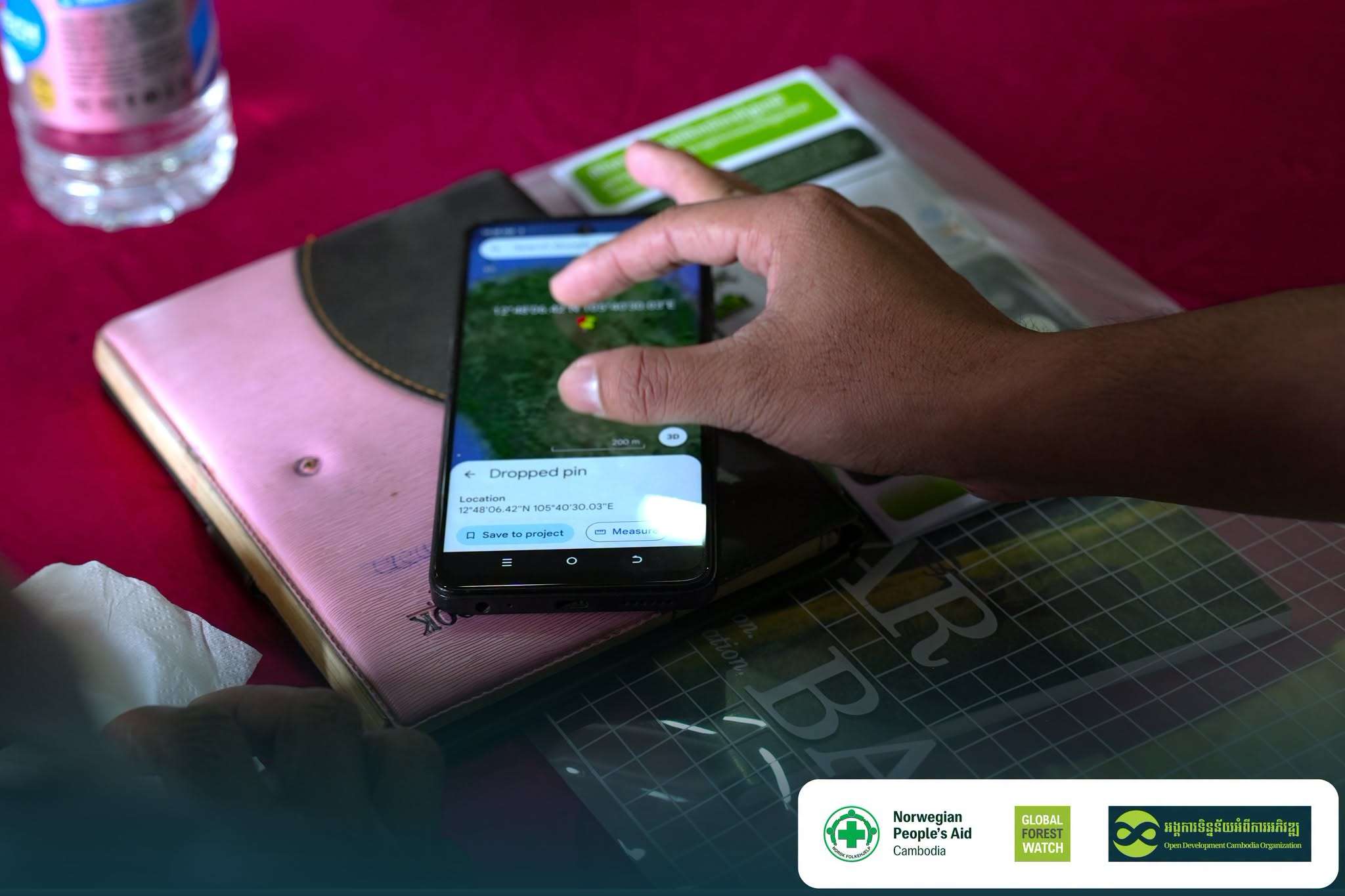
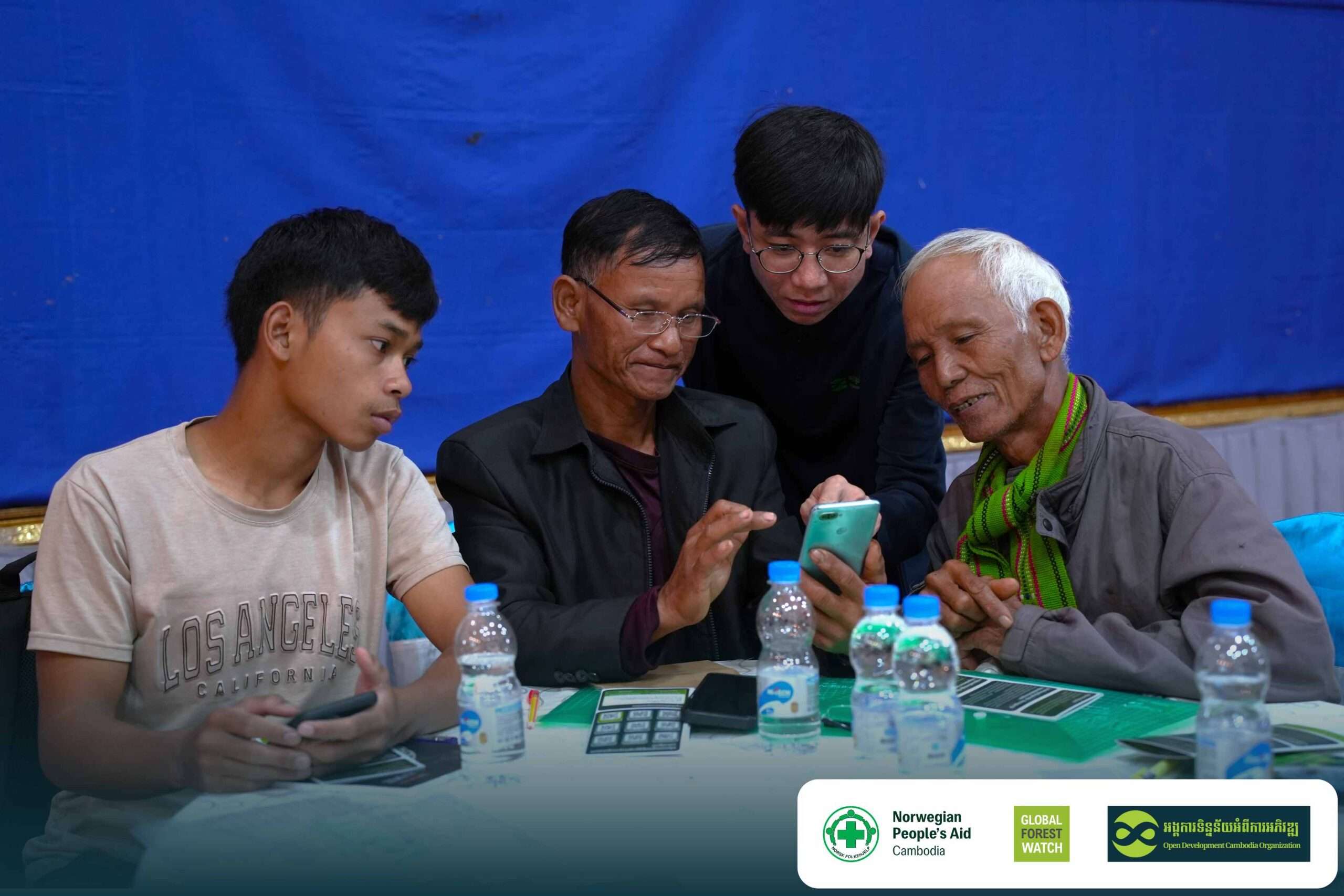
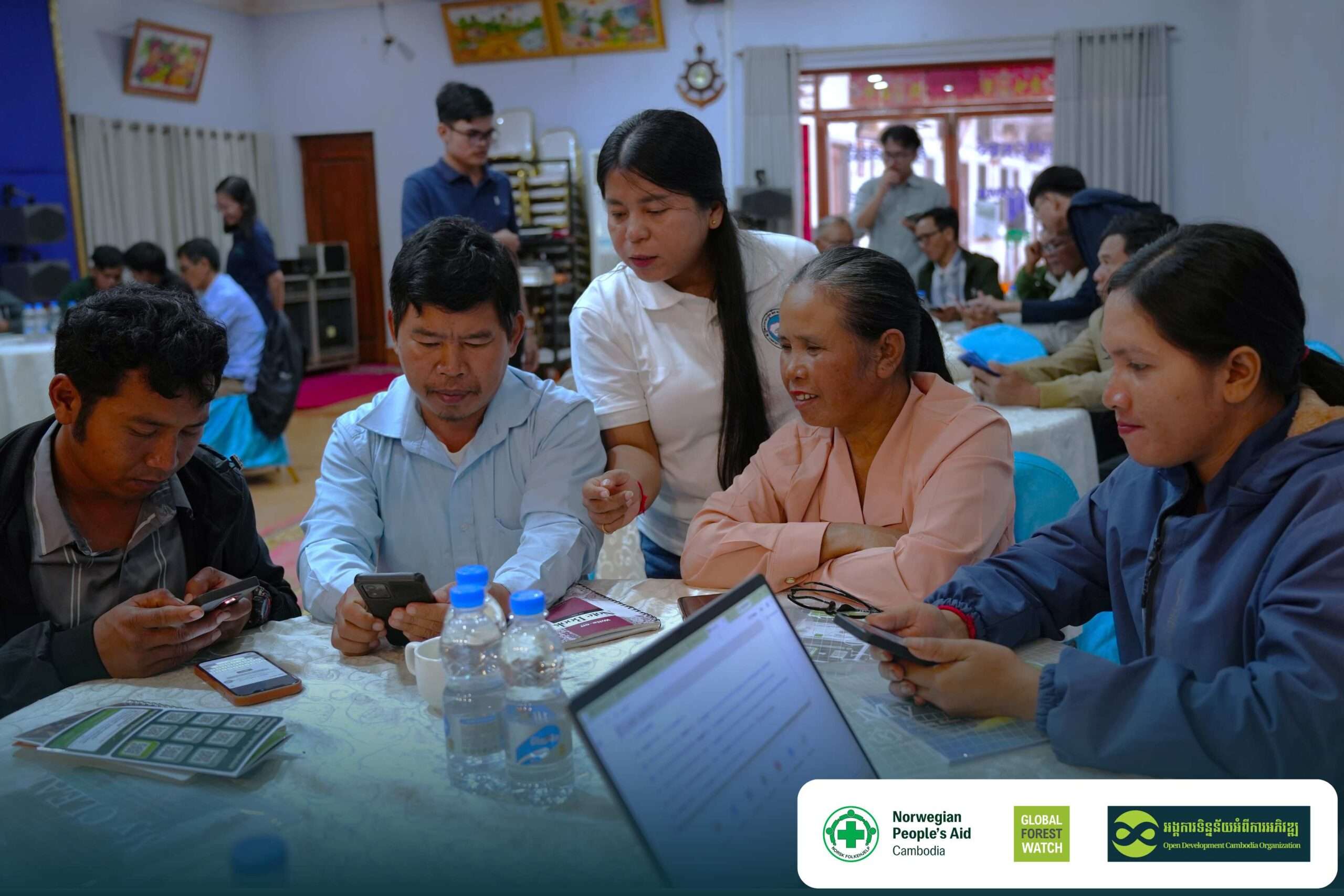
The most engaging part of the training was the hands-on practice. Rather than only listening to presentations, participants used their own smartphones to explore the platform and practice using digital tools. They learned how to locate areas using Google Maps, receive notifications through Telegram, and use KML files to view locations on Google Earth. They also practiced identifying potential disturbance areas and how the information could support field verification and patrol planning.
For many participants, the training helped connect satellite technology to the practical work they already do to protect their forests. A satellite alert that might otherwise appear as technical information became a location they could identify, discuss, and potentially visit in the field.
From training to community-specific alerts
The work continued after the training workshops. The ODC team worked with participating communities and partners to create Areas of Interest (AOIs) corresponding to their respective community forests and areas of responsibility. These AOIs allow the system to provide more targeted information. When a potential forest disturbance is detected within a community’s designated AOI, a notification is sent directly to the community’s Telegram channel. This means communities do not have to continuously search through information covering large areas. Instead, they can receive alerts specifically related to the areas they are responsible for monitoring. The notifications can then help communities review the location and, where appropriate, plan field verification or patrol activities.
Connecting technology with local knowledge
The strong participation and discussions during the workshops demonstrated that technology is most useful when it responds to communities’ real needs. The training showed that digital forest monitoring does not need to be limited to technical experts. With practical guidance, community members can use accessible digital tools through smartphones to obtain and understand information about their forests. The combination of satellite-based information, digital tools, local knowledge, and field verification provides an opportunity for communities to make their forest monitoring more targeted and informed.
From information to action
The three workshops were more than an introduction to new technology. They provided communities with practical skills and an ongoing mechanism for accessing timely information about potential forest disturbances. By the end of the training, participants had learned how to use digital maps, receive Telegram notifications, work with KML files, and interpret forest disturbance alerts. Participating communities were also supported to establish their own AOIs so that they can receive targeted alerts when potential disturbances are detected within their areas.
Satellite technology can indicate where a potential change may occur, while communities provide the local knowledge and presence needed to understand and verify what is happening on the ground. When timely open data reaches the hands of the people who protect the forest, information can become action.
Through this approach, ODC aims to strengthen community capacity for forest monitoring and contribute to more timely, informed, and community-led forest protection in Cambodia.

