Strengthening community forest monitoring through digital tools
On 4 October 2026, Open Development Cambodia (ODC), in collaboration with the Youth Resource Development Program (YRDP), organized a one-day training workshop in Phnom Penh on the use of digital tools for forest monitoring and protection. The training brought together 15 participants, including nine community representatives from Kampong Thom, Preah Vihear, and Kampong Speu provinces, and six young people from Phnom Penh. The training provided an opportunity for community representatives and young people to learn together, exchange experiences, and explore how technology and open data can support community-based forest monitoring.

The training started with a short icebreaking activity led by the ODC team. Rather than moving straight into the training sessions, participants were given time to introduce themselves and get to know one another through a series of questions. After speaking with their fellow participants, they shared what they had learned with the group. It was a simple way to help everyone feel more comfortable, especially those meeting for the first time. Participants also had a chance to learn about each other’s backgrounds and experiences, creating a more relaxed atmosphere for the sessions ahead.
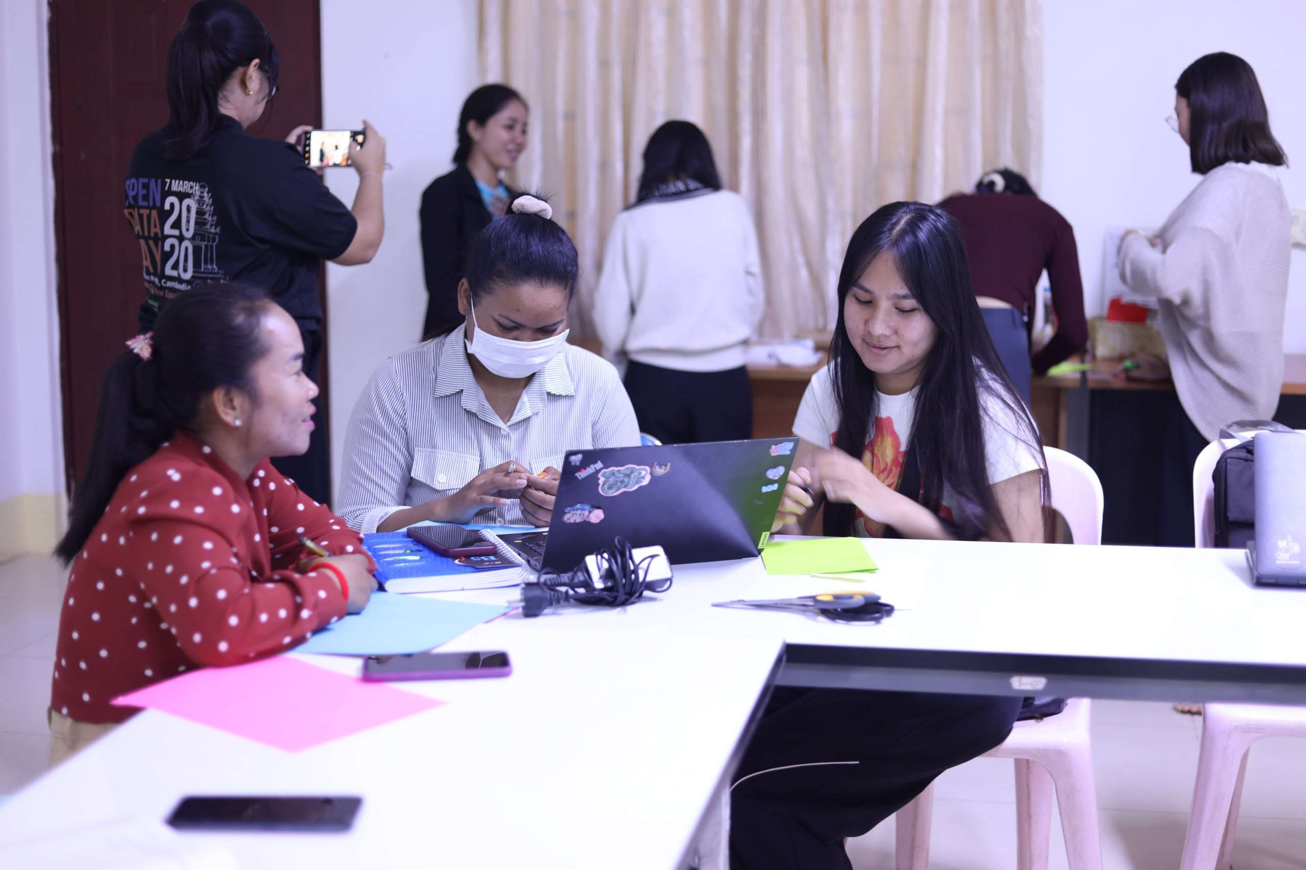
Before moving into the main topics, participants completed a pre-test to check their existing knowledge of digital maps, satellite imagery, and the Forest Disturbance Alert Platform (FDA). The results would serve as a starting point for looking at what participants learned during the training.
The morning sessions introduced participants to several tools and concepts that can be used to monitor forest areas and identify possible changes. These included digital maps, satellite imagery, and the Forest Disturbance Alert Platform. The first session covered digital maps and how they work. Participants learned about their basic features and how maps can be used to locate specific areas, understand geographic information, and identify where forest-related activities or changes are taking place.
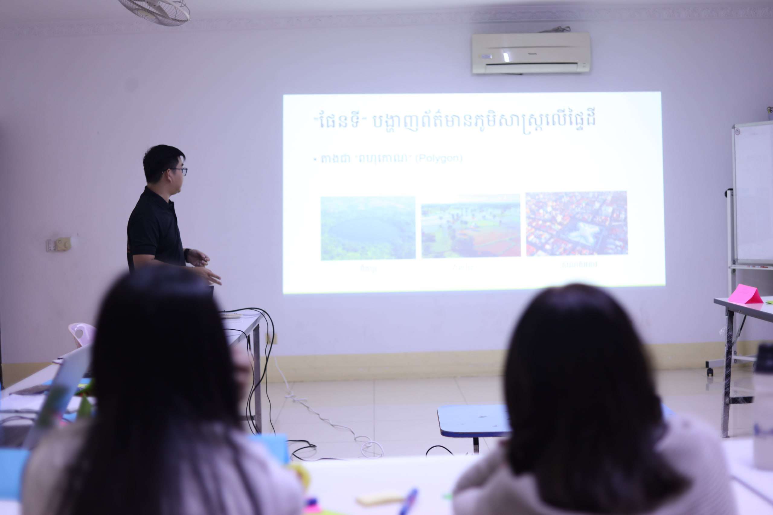
The next session introduced satellite imagery and explained how satellites capture images of the Earth’s surface. Participants learned how these images can help track changes over time and provide useful information for monitoring forest areas. Another major topic was the Forest Disturbance Alert Platform. During this session, participants became familiar with the platform’s key terms, how the alert system works, and where they can access forest disturbance information through its website and Telegram channels.
The session also covered how to read and understand alerts and why they may be useful for community forest monitoring. Participants discussed how the information could help them identify areas where possible forest disturbances have occurred and where further checking may be needed. One point emphasized throughout the session was that digital alerts alone cannot confirm what is happening in a particular location. Information from the platform needs to be checked against actual conditions on the ground. Local communities have an important role in this process because they know their surrounding areas and can help verify whether reported changes reflect real situations.

After lunch, participants took part in another short icebreaking game organized by the ODC team. The activity gave everyone a chance to move around, interact, and refresh their energy before continuing with the afternoon programme.
The afternoon focused on applying the knowledge gained during the morning sessions. Participants were divided into three groups for a field simulation and ground-truthing exercise. Each group was given a forest monitoring scenario and asked to consider how they would use information from the Forest Disturbance Alert Platform to check a possible forest disturbance. They discussed what steps they would take, what information they would need, and how they could verify the alert through observations on the ground. The exercise gave participants a chance to think beyond simply receiving information from a digital platform. They had to consider how alerts could be checked and what role community members could play in confirming the situation.
After completing the exercise, participants shared their thoughts and experiences with the platform. Each group discussed several questions, including:
- What was their overall impression of the Forest Disturbance Alert Platform?
- Which features did they find useful?
- What difficulties did they encounter while using it?
- What additional information or features would make the platform more useful?
- How could the platform better support forest monitoring activities in their communities?
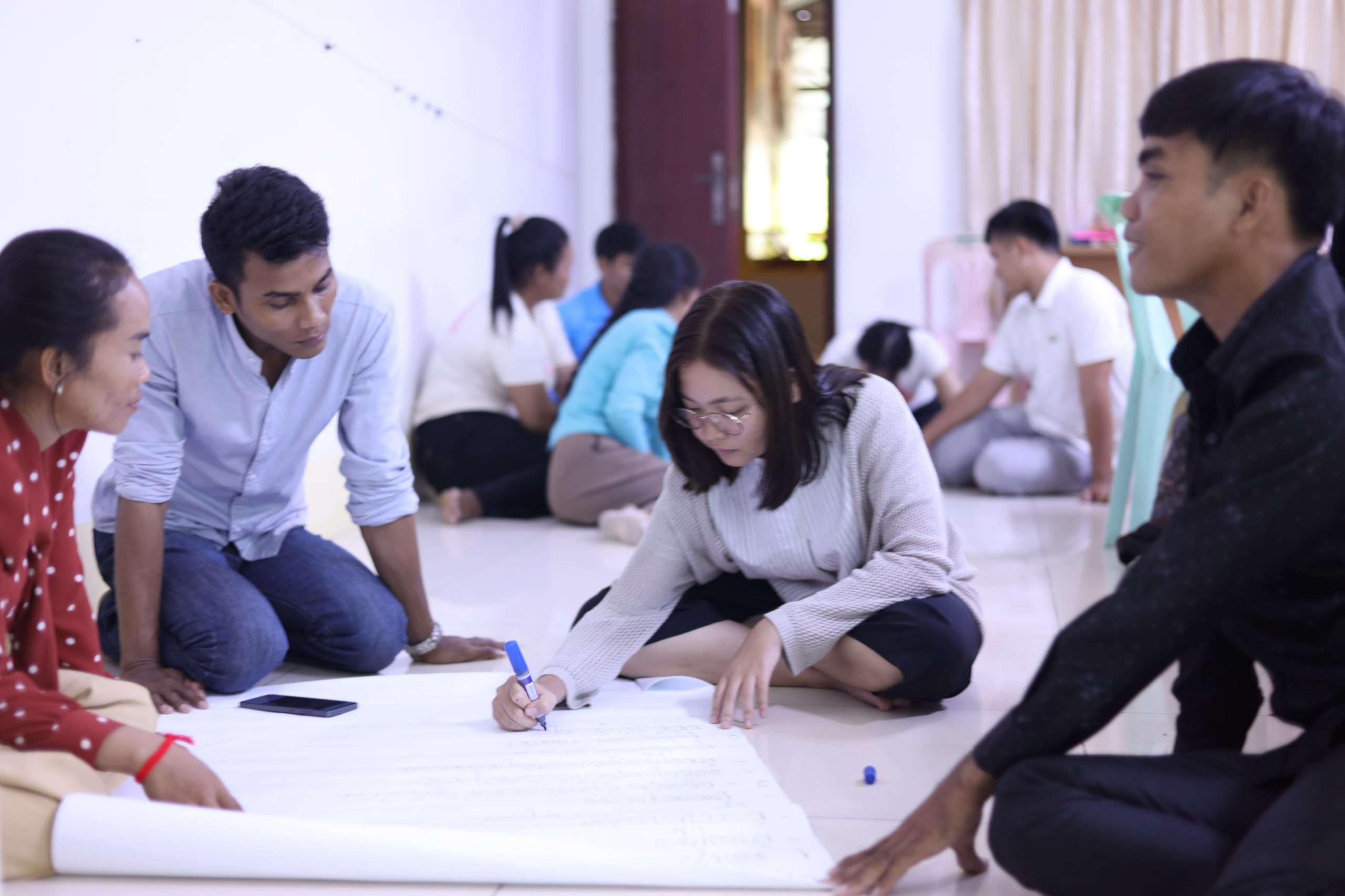
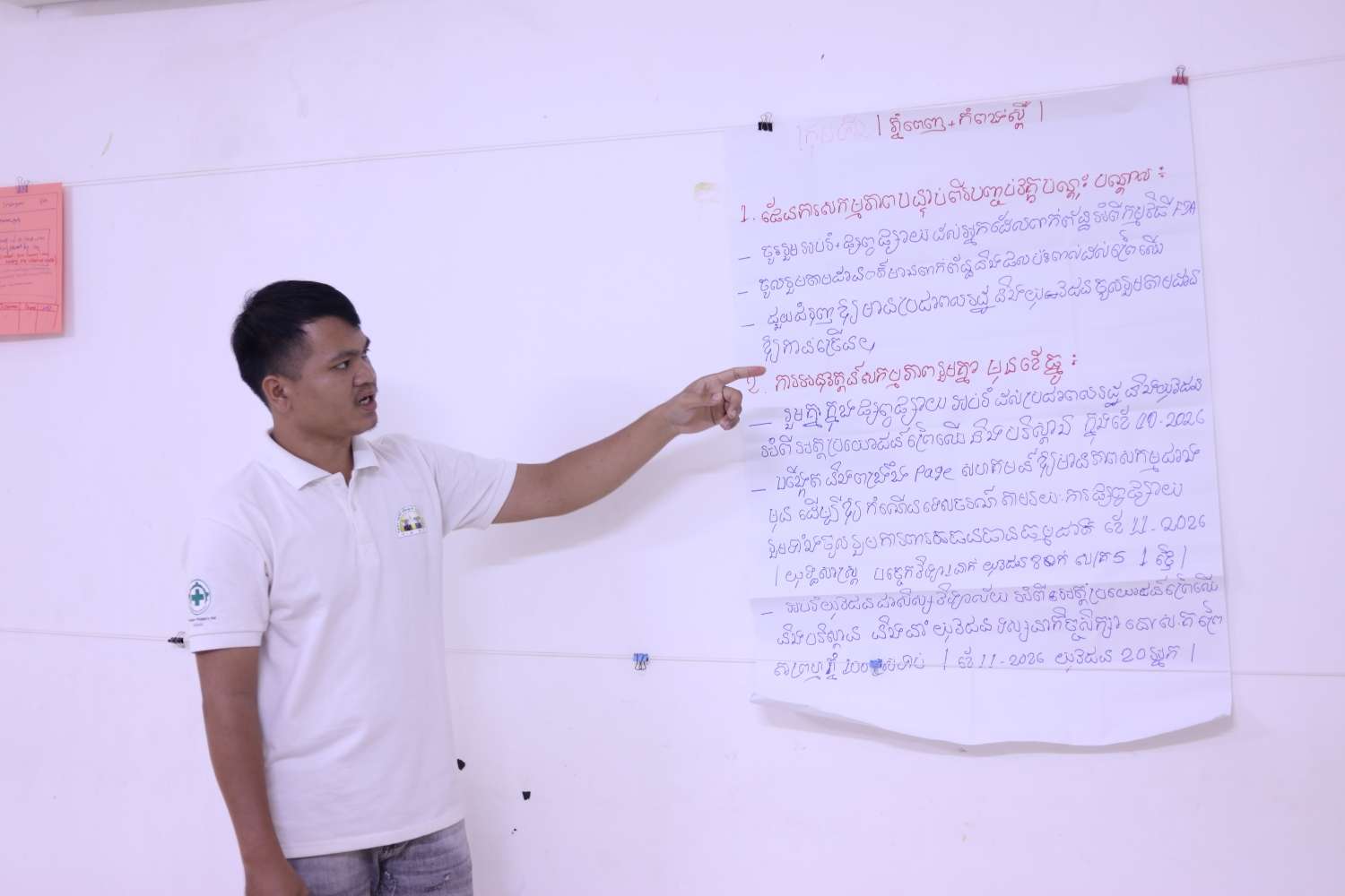
The groups discussed these questions and selected representatives to present their findings to the other participants. Through the presentations, participants shared different views on the platform, including its useful features, areas that could be improved, and ways it could better respond to the needs of communities involved in forest monitoring.
The final learning session focused on action planning. Participants discussed how they could take what they had learned back to their respective communities and put it into practice. They considered ways to use the Forest Disturbance Alert Platform and other digital tools in their regular forest monitoring activities, share relevant information with community members, and follow up on possible threats to forest resources.
Before closing the training, participants completed a post-test to assess what they had learned throughout the day. The results could then be compared with the pre-test to get a better picture of changes in their understanding of digital maps, satellite imagery, and the Forest Disturbance Alert Platform. Participants also filled out a training evaluation form, sharing their views on the topics covered, the practical exercises, the facilitation, and their overall experience. Their feedback will help ODC and YRDP understand which parts of the training were useful and what could be improved in future activities. Beyond assessing individual learning, the feedback also gave participants a chance to share their suggestions and contribute to the planning of future training on open data and digital tools for community forest monitoring.
ODC is pleased to have worked with YRDP to organize this training, with support from Norwegian People’s Aid. Bringing community representatives and young people together provided an opportunity for them to learn from one another and explore how digital tools could support their work to protect forest resources.

