Stakeholder engagement and knowledge sharing workshop
On the morning of July 13, 2018, Open Development Cambodia (ODC) organized a workshop to share the outputs and findings of its project on “The use of Google Earth Engine (GEE) to play a role in gender equality and education in flood-prone areas”. This workshop funded by SERVIR- Mekong, a USAID & NASA-supported program.
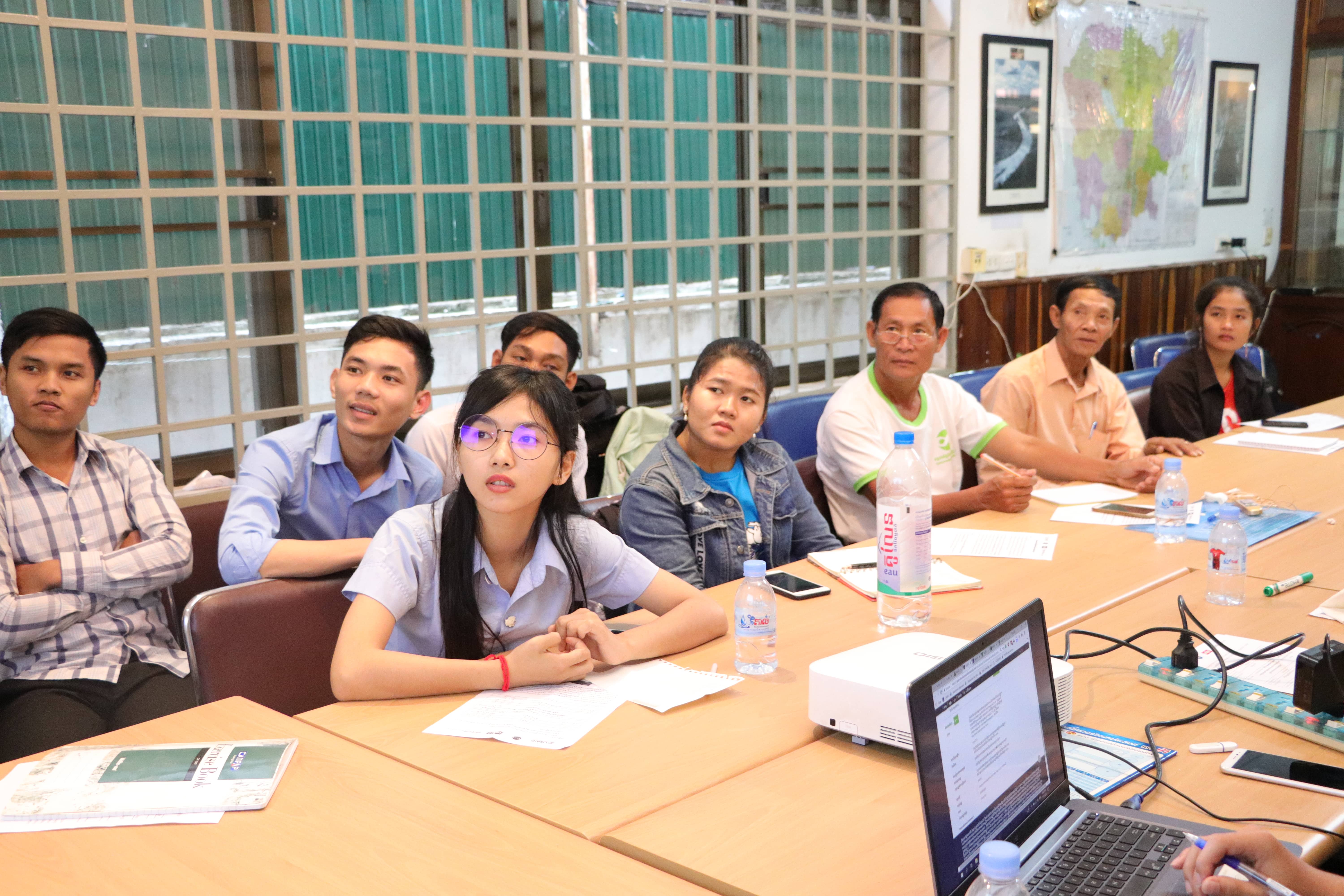
A total of 16 participants were invited from local communities, as well as, citizen journalists who live within Tonle Sap areas, NGOs, academia and representatives from the government whose work relates to Tonle Sap. Those attending included 5 citizen journalists, 5 students from Royal University of Phnom Penh (RUPP), a staff member from Wonder of Mekong, a staff member from the Ministry of Water Resources and Meteorology and 4 local communities members from Battambang and Siem Reap provinces.


The purpose of the workshop was 1) to share finding results from the ODC-SERVIR project, The Use of Google Earth Engine to Play a Role in Gender Equality and Education in Flood-Prone Area and, 2) to receive constructive feedback to enhance the project outputs and to modernize the functionality of ODC’s platform to meet the current needs of the users.
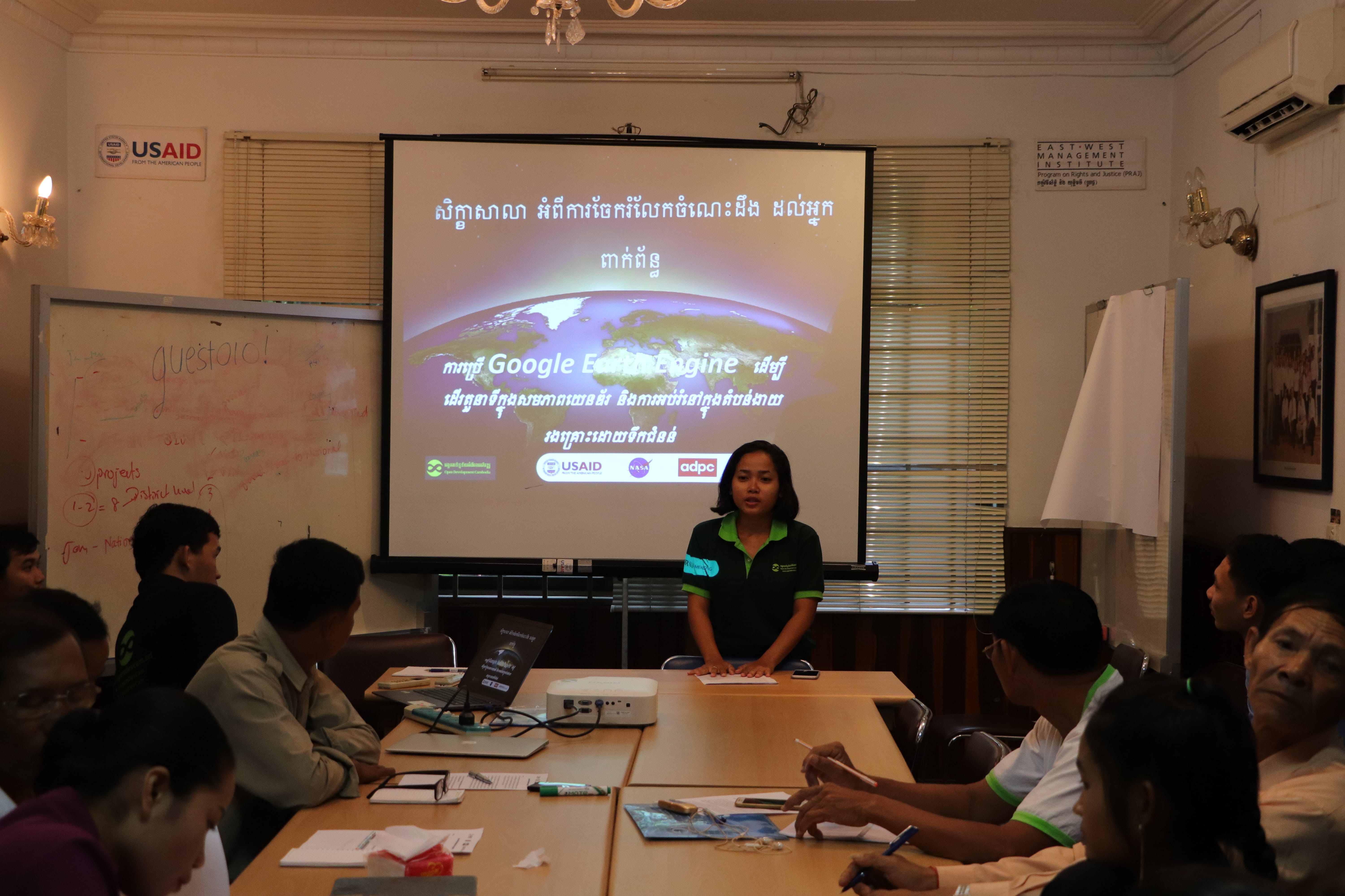
Mr. Prum Puwath, ODC’s data researcher and GIS officer made the presentation for this project. He started his presentation by introducing participants to background information on ODC, its projects and products before giving details on the main topic. Mr. Punwath explained to the audience that the findings and objectives of the project are to apply GEE to identify flood inundation zones surrounding the Tonle Sap Lake, particularly Battambang, Kampong Thom, Pursat, and Siem Reap in Cambodia, to collect and map out school information and locations, and to produce maps on flood zones. Over the duration of the project, ODC produced 21 map layers, 3 datasets of flood prone areas, and basic information on local schools.
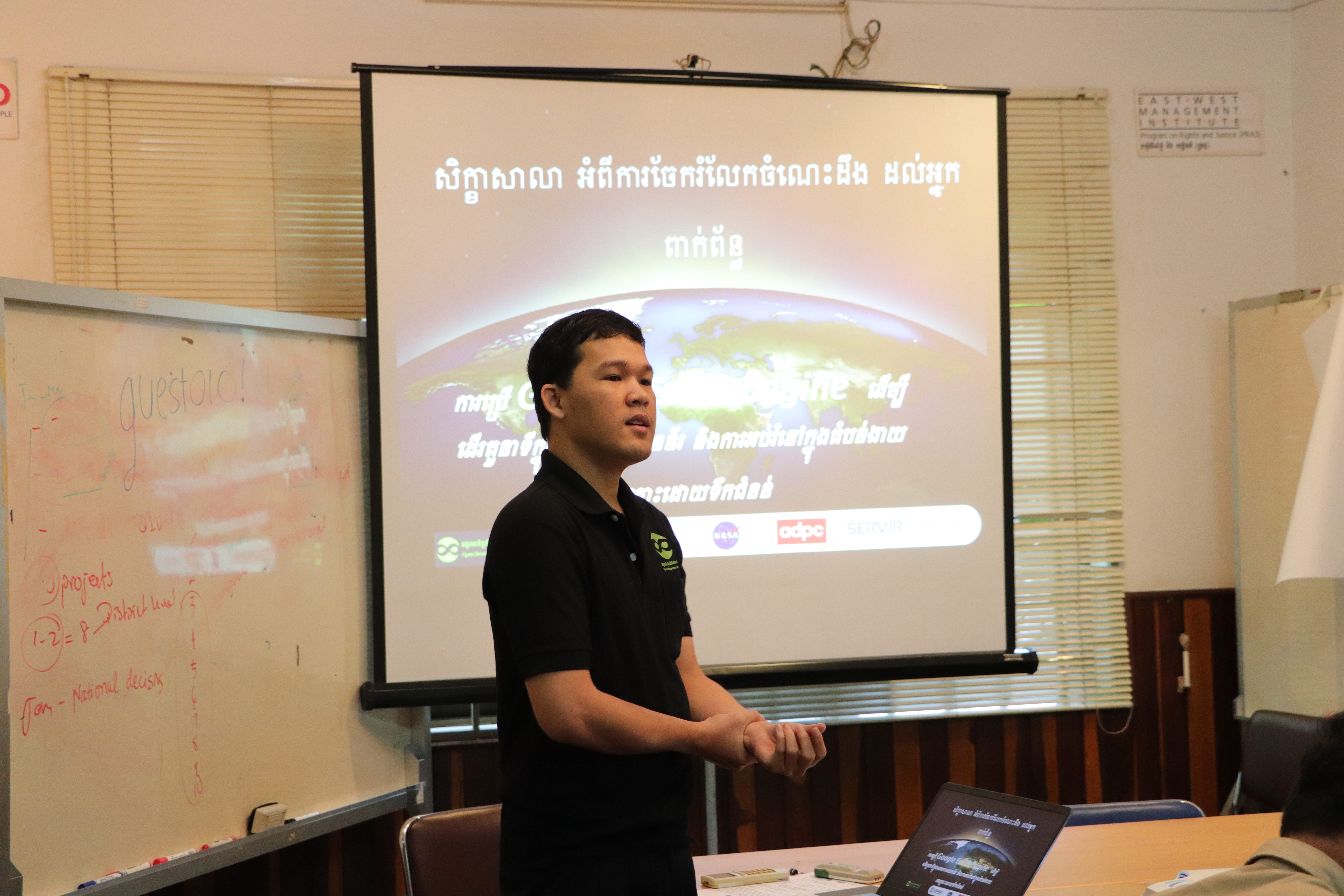
Mr. Prum Puwath, ODC’s data researcher and GIS officer made the presentation for this project.
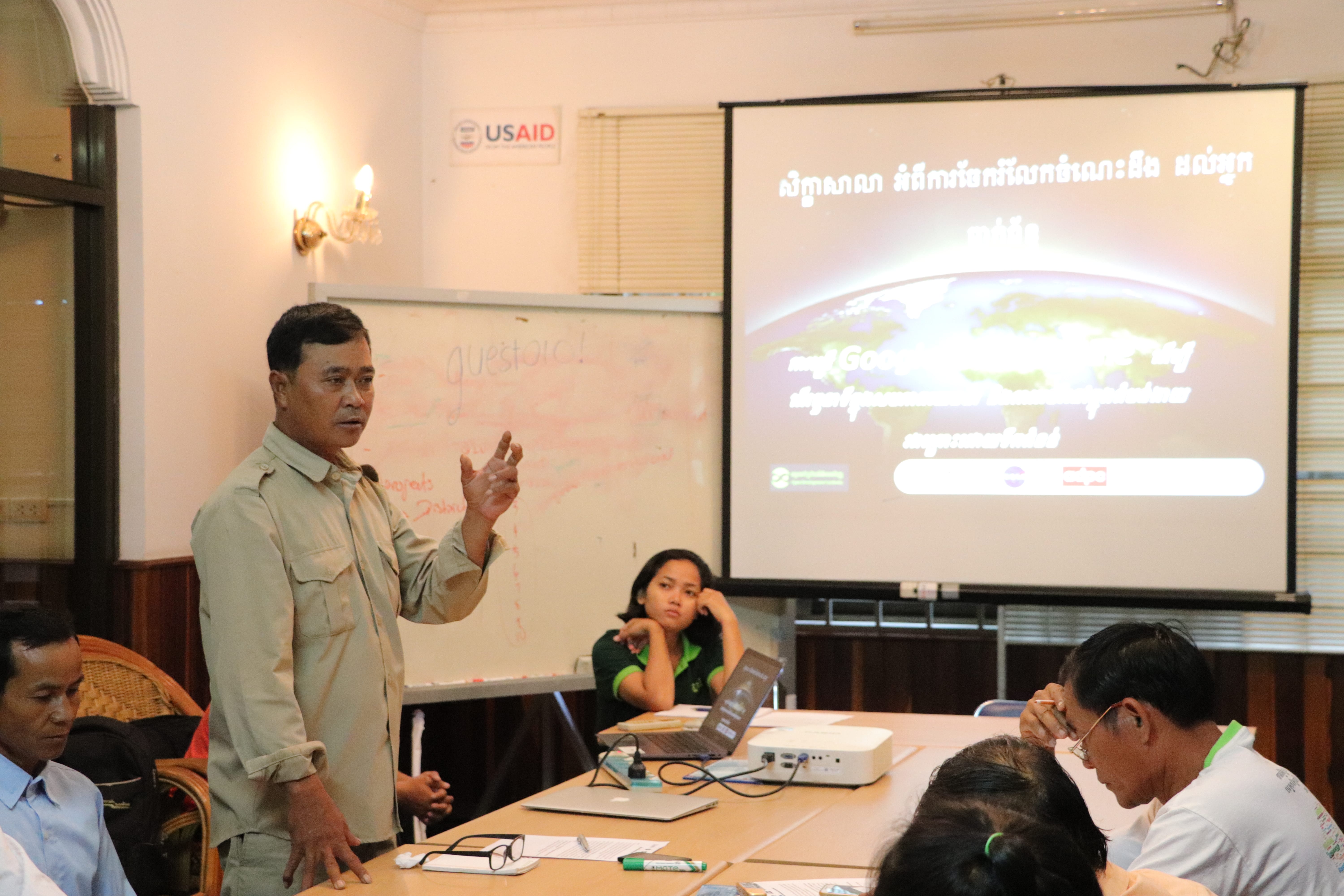
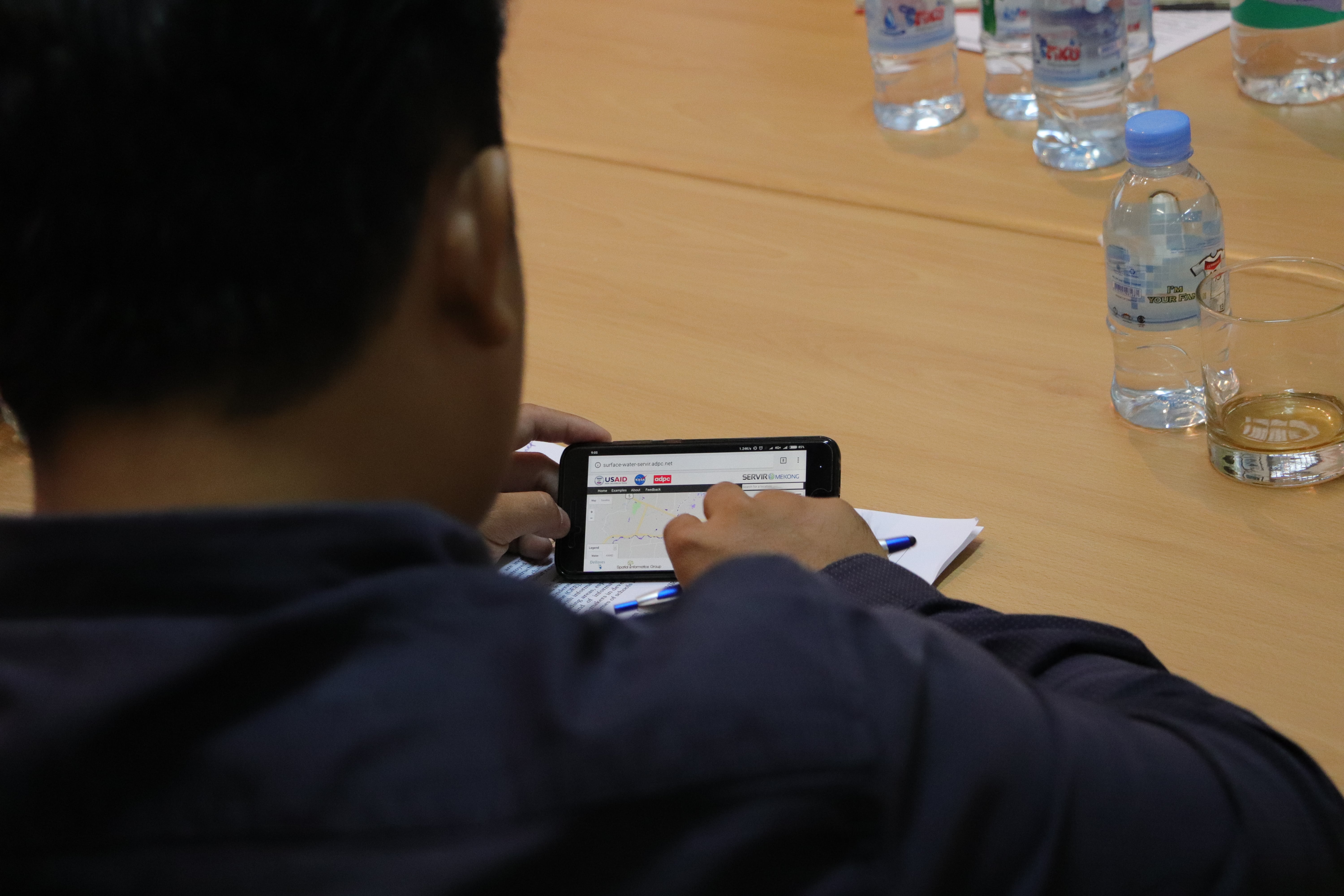
Mr. Punwath then moved on by demonstrating and running through all the interactive map layers available on ODC’s website. He showed the audiences how one could navigate and download the maps and data from the site for their own use. Additionally, he informed the audience that in the study, big a challenge is due to the lack of data availability. The school data in the year 2013 is represented by provincial level instead of school level.
After the presentation on the projects’ maps and finding, the audience, was then asked to share their views on the visualized maps on ODC’s website and the overall outputs of the project. With active participation, ODC got some specific suggestions and comments on the visualized maps; the suggestions are presented. Apart from the suggestions or comments, the participants also shared their thoughts of how useful the maps will be for their work. These comments are grouped based on their background.
Citizen journalists (CJs), viewed the project outputs, especially the maps of flood prone areas and school dropout rates, as the main source of information for their news reports in addition to their investigation in the community. CJs emphasized how the products on ODC’s website, which are freely accessible, can help improve and strengthen the quality of news reports and provide citizen journalists with credible information for their readers. Proudly added by a member of the CJs, apart from the products of this project, the resources on ODC’s website in general provide a rich array datasets and information which they can easily download and access. This is usually, as the CJ mentioned, hard for them to request or get resources in hard copy from other places.
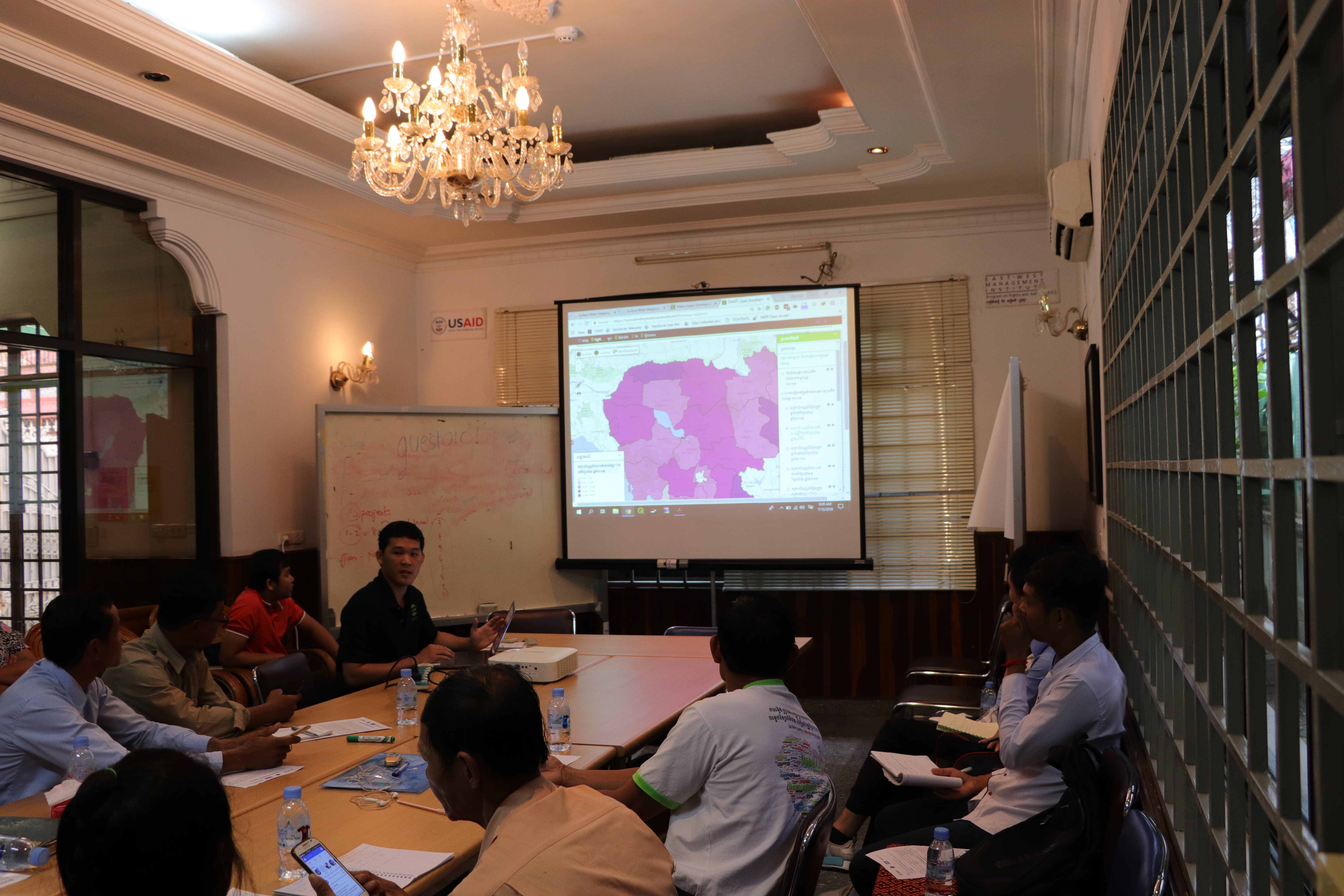
Mr. Prum Punwath is delivering a presentation about the interactive map layer on ODC website.
Similarly, representatives from Tonle Sap Lake explained that the maps of flooding around Tonle Sap Lake are extremely functional for the future flood preparedness in their communities. The maps illustrate locations of flood prone areas, where the local authorities may want to set a plan within their communities to, for example, organize safe areas for disaster management, or to inform the communities of agricultural options adaptable to flooding. Importantly, these flood maps in relation with the school dropout rates can be very informative for researchers or project implementers/donors to target the right needs. The MOWRAM staff mentioned that this project’s outputs, making the maps of flooding available on the website, are useful for his ongoing project targeting the Tonle Sap area.
Last but not least, the groups of research students said this time was invaluable. Attending this workshop today, not only gave them a lot of information about resources on the website which can be accessed for their studies but also gave them ideas for their upcoming research project which they are planning to do year.
The workshop ended with a fruitful, constructive, and satisfying conversation from both participants and the ODC team. ODC is very pleased to see how useful the project products will be for stakeholders and how it will contribute to future plans to deal with the impacts of flooding and the future changes induced by climate change. Additionally, the products are also important for students dealing with environmental and social issues and their future studies into potential impacts, especial on gender issues for better and more equal education.
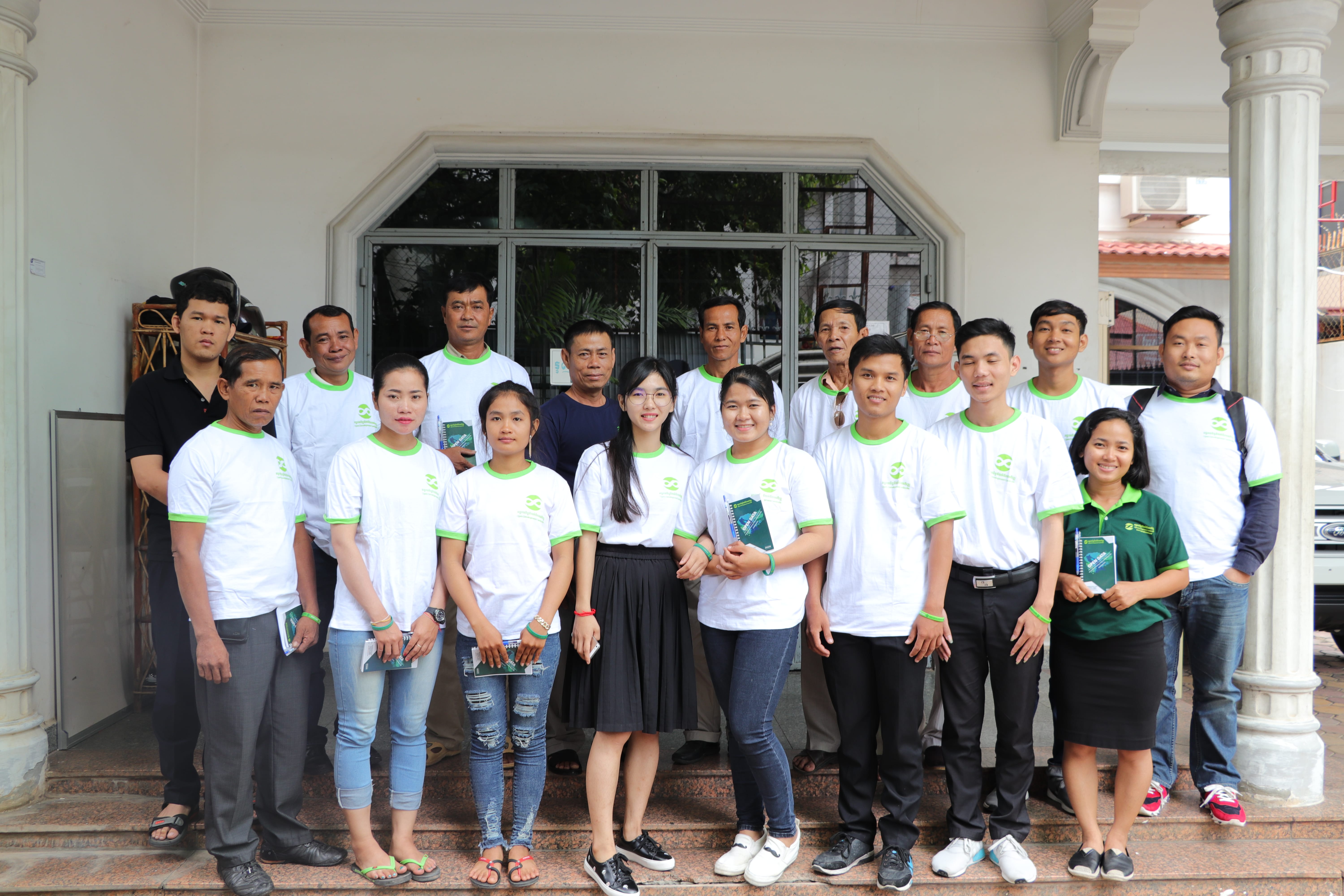
Group photo between ODC team and all the participants.

