Environmental data and strategic environmental assessment (SEA)
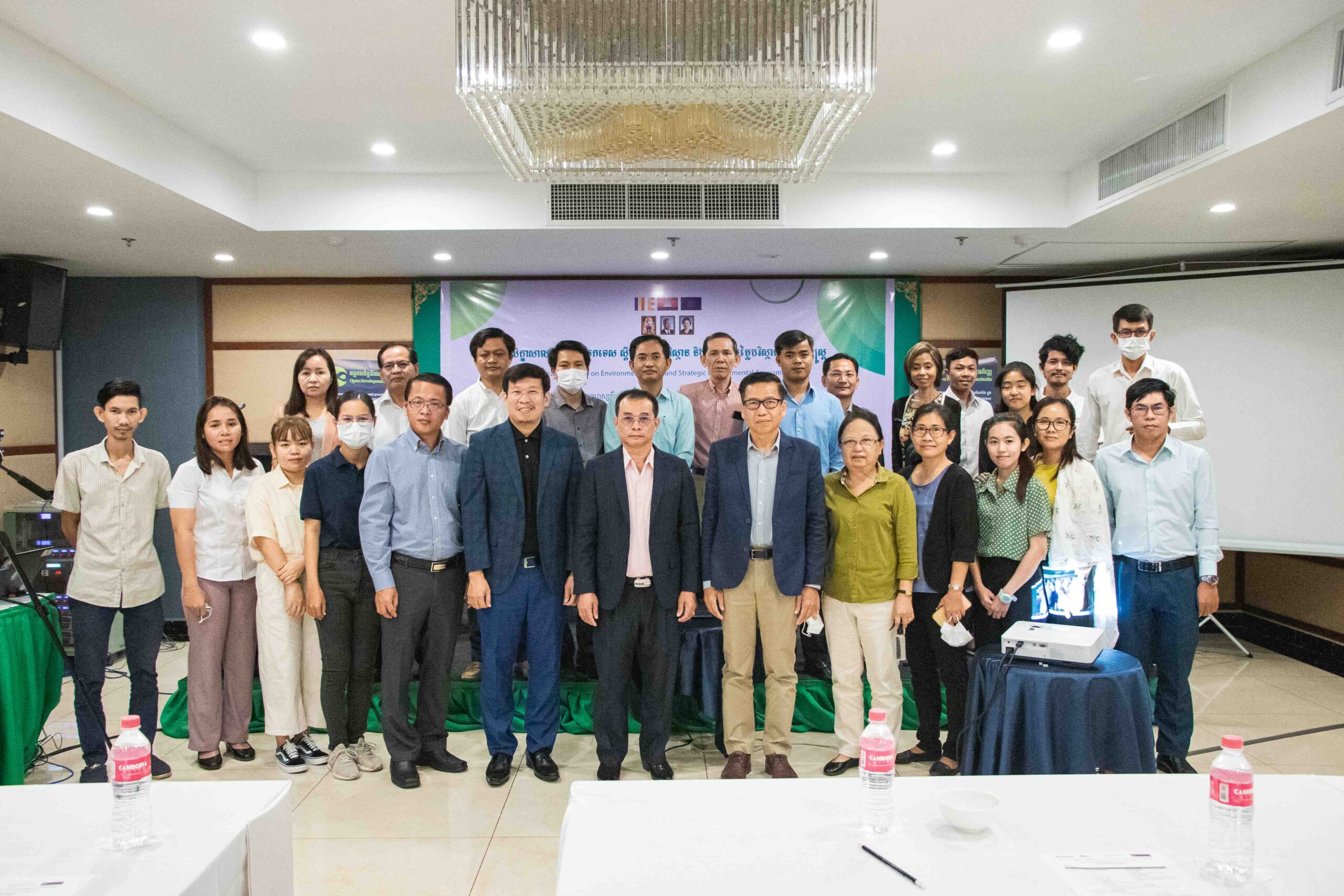
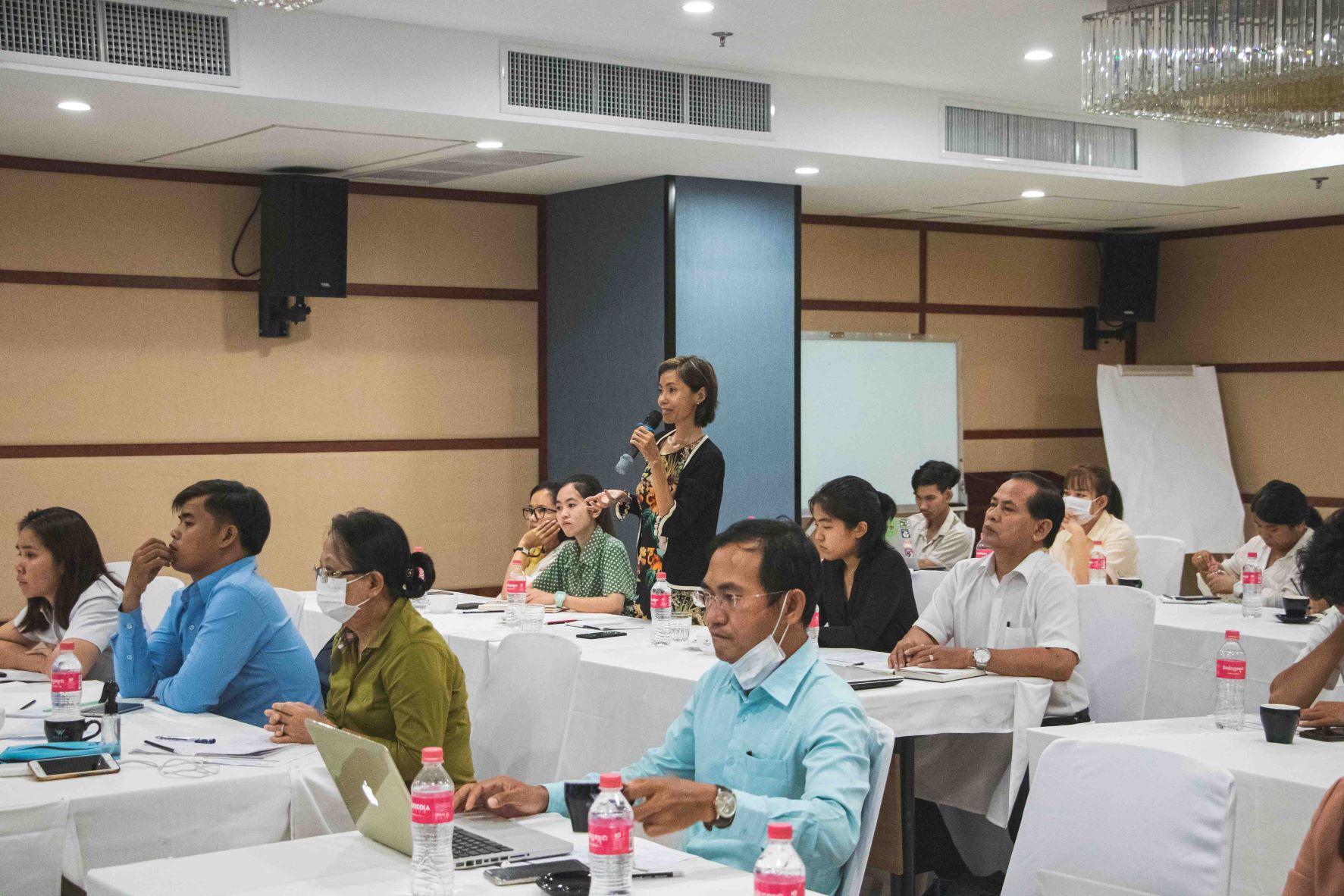
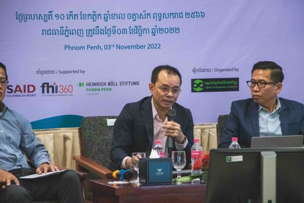
Phnom Penh, 03rd November 2022, Open Development Cambodia (ODC) hosted a Technical Workshop on Environmental Data and Strategic Environmental Assessment (SEA). This workshop was supported by the United States Agency for International Development (USAID) through Family Health International (FHI 360) under Cluster Anchor Grant from the Civil Society Support (CSS) Project and Heinrich Böll Stiftung (HBS) under Promoting Environmental Impact Assessment (EIA) for a more Transparent and Responsive Environmental Governance in Cambodia Project. The workshop aims to:
- Raise awareness of the SEA among CSOs, citizen journalists, indigenous people, and researchers
- Discuss and share the current statue of the SEA in Cambodia
- Identify the potential of integrating SEA and its implication in environmental and natural resource management.
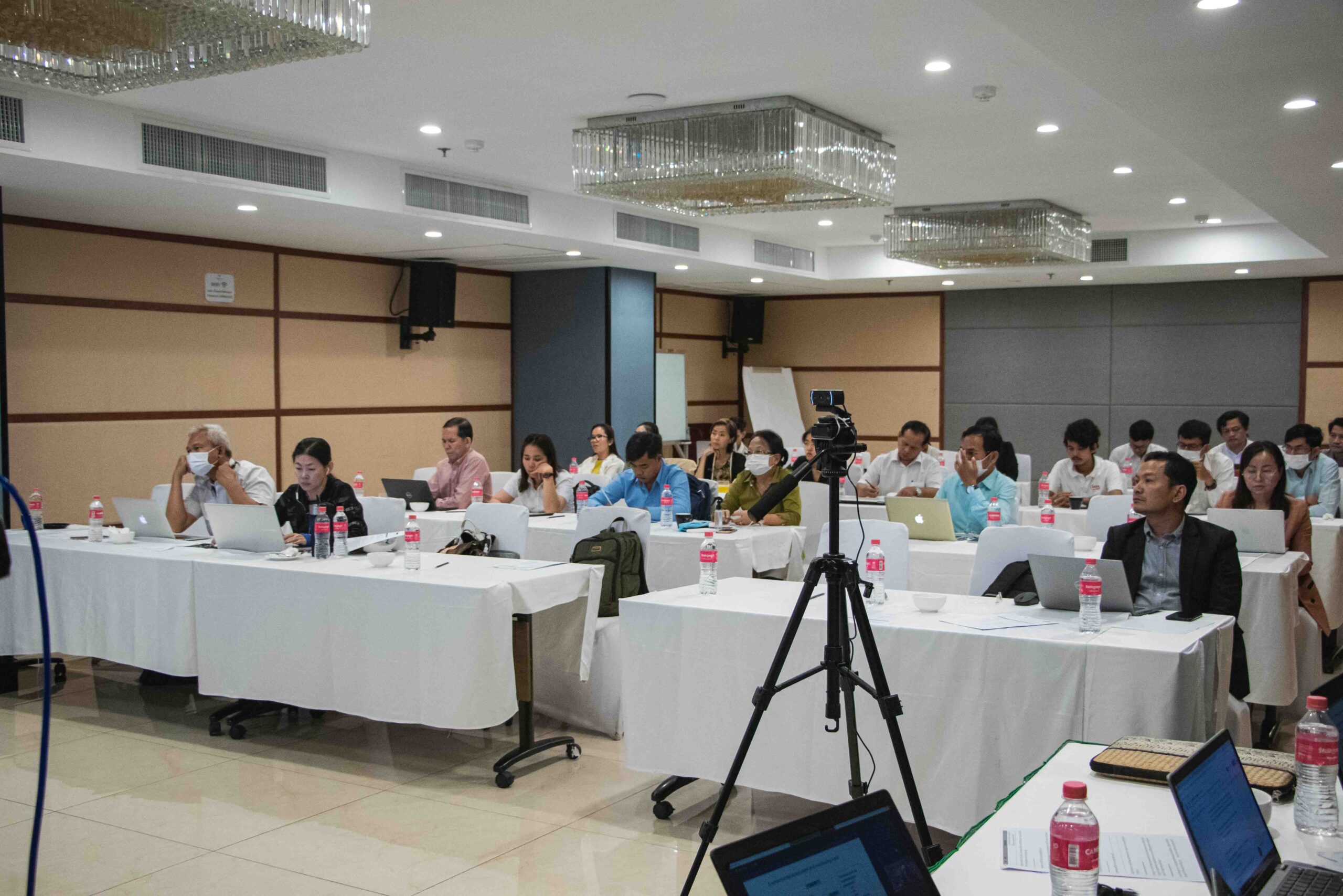
The event brought together 32 participants (11 females) from the Ministry of Planning (MoP), World Wide Fund for Nature (WWF), Wildlife Conservation Society (WCS), Family Health International (FHI 360), other international and local non-governmental organizations (NGOs), community-based organizations (CBOs), journalists, researchers, and indigenous peoples (IPs).
Environmental Impact Assessment (EIA) and Strategic Environmental Assessment (SEA)
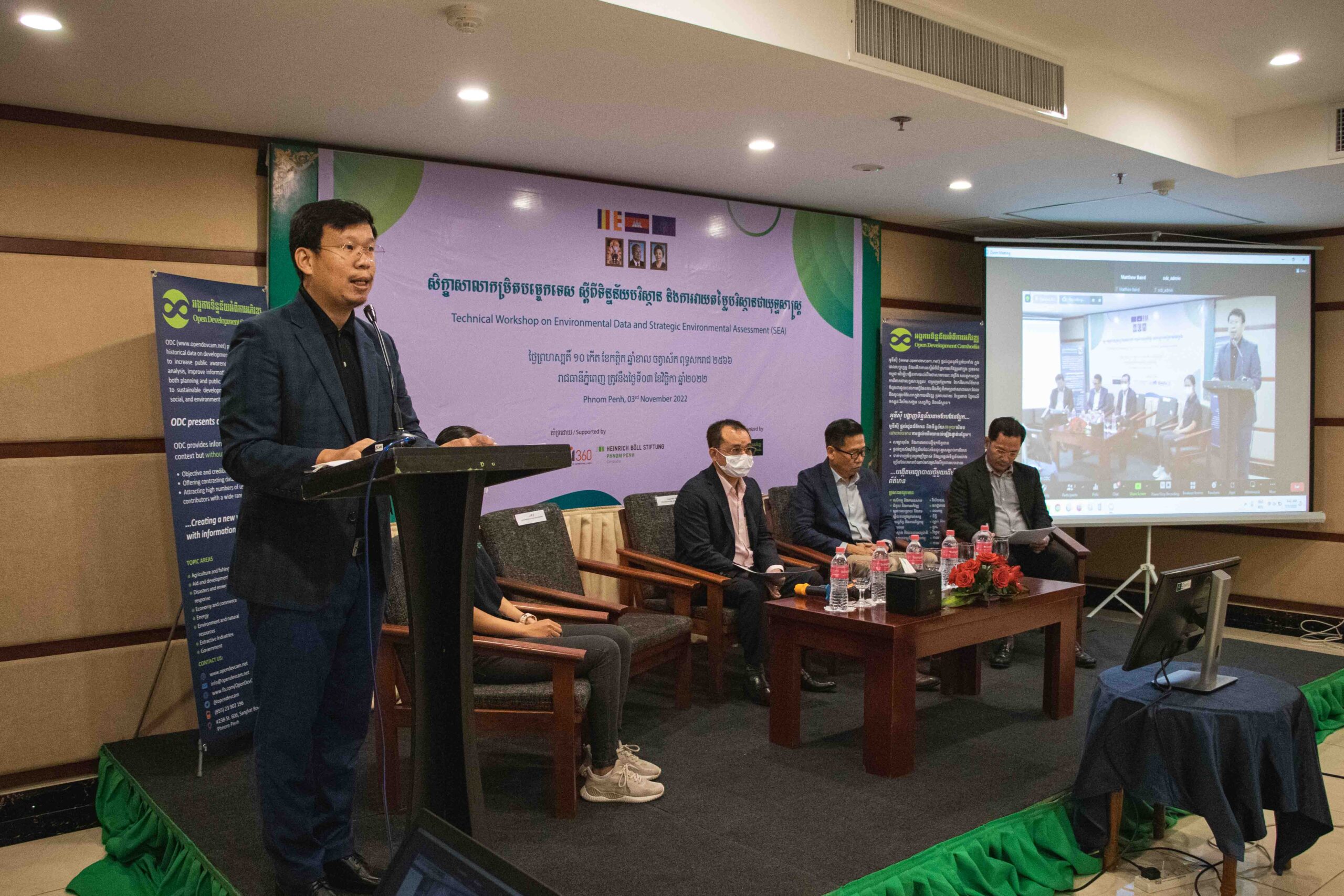
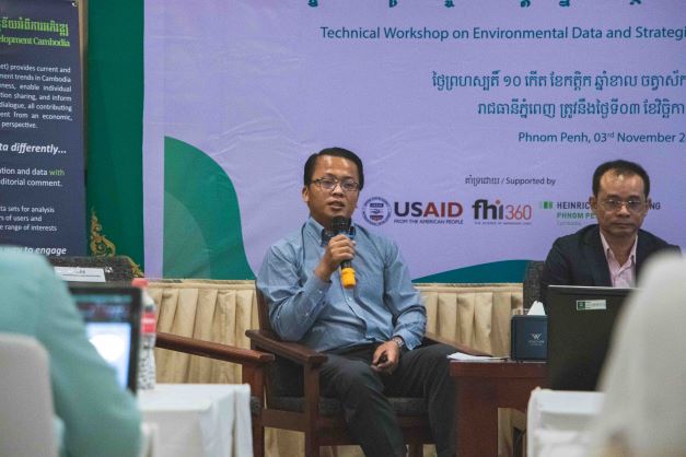
Mr. THY Try, Executive Director/Editor-in-Chief of Open Development Cambodia, and Mr. MATHEW Baird, Director of the Asian Research Institute for Environmental Law, have highlighted the differences between EIA and SEA as well as some procedures of SEA. Development projects typically promote economic development, but they should not neglect or ignore the impact on the environment and society. SEA incorporates environmental considerations into policies, plans, and programs (PPP). SEA is used to estimate and evaluate the consequences of specific development PPP. It means that the project is not there yet. The government will decide whether the project could be implemented or invested in that area. It usually happens before doing the EIA. In contrast to the commonly used EIA, which occurs after the decision-making process, SEA occurs before all important decisions, which offers significant advantages. It was initially promoted to fill gaps in project-based EIA due to the limitation of EIA to address the environmental policy integration at the strategic levels, particularly during policy and plan-making. The capacity of EIA to account for the strategic consequences of subsequent projects in a single area is limited. As a multi-stage process focusing on overall sustainability, SEA takes a proactive approach to all development activities, identifying key obstacles before final approval. Public participation is the key point, and it must be included in both SEA and EIA processes. EIA and SEA complement each other. It does not mean that we can ignore one of them.
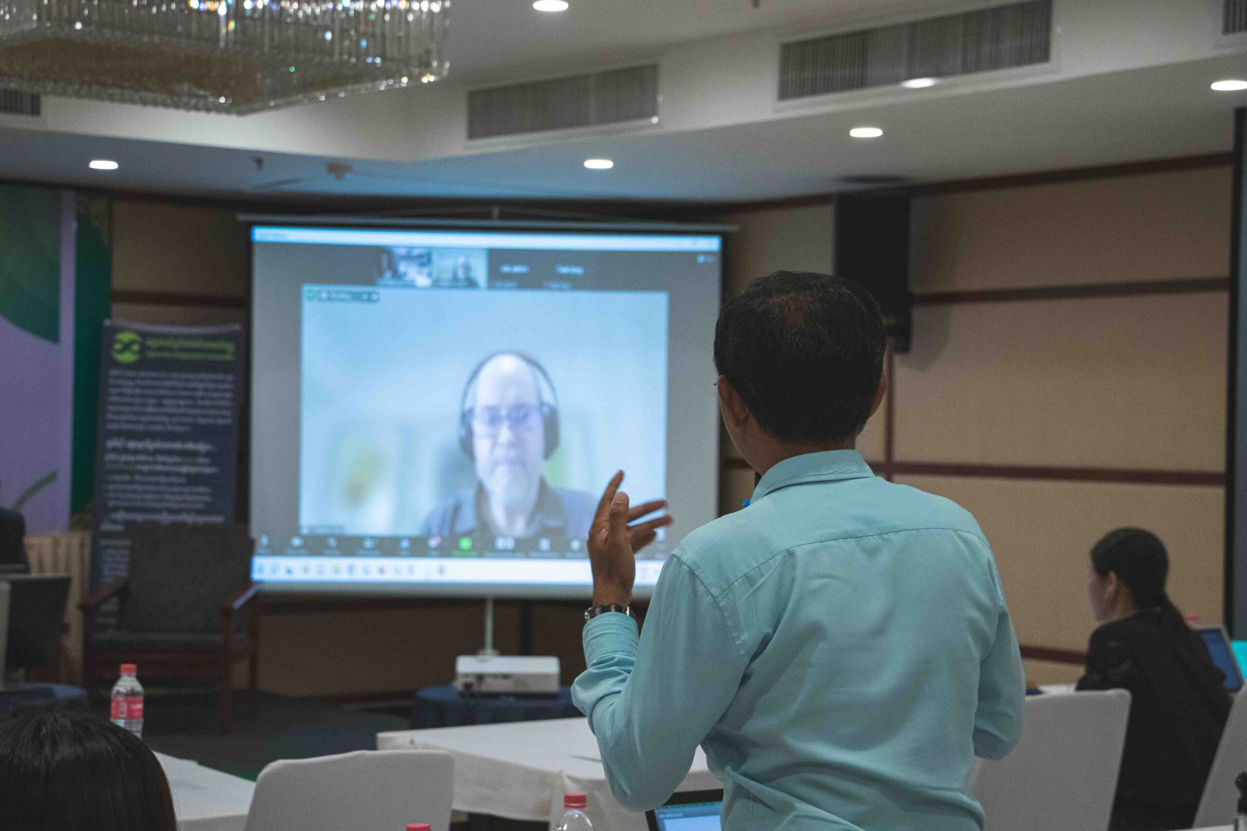


Mr. THY Try also demonstrated a video about the UNECE SEA Protocol, which was created by the United Nations Economic Commission for Europe (UNECE) as part of the EU-funded program “Greening the Economies in the European Neighborhood”. The protocol establishes clear and transparent procedures for incorporating environmental and health concerns into national development plans, programs, and legislation.
Spatial Plan and its Integrated Landscape Approach
Mr. SENG Teak, Country Director of the World Wide Fund for Nature (WWF) presented one of the significant implementations called “Mondulkiri Provincial Spatial Plan”. He highlighted the 2040 scenario-based analysis for the province divided into three scenarios: conservation, green economy, and business-as-usual. The first scenario “conservation” could keep the forest cover in Mondulkiri up to 85% by mainly protecting all forests inside and outside the protected areas (PA) and using non-forest areas for agricultural and development areas. The second scenario “green economy” only protects the forest in the PA whereas the forest outside the PA and non-forest areas are used for agricultural development areas. By doing so, the forest cover in the provide will remind 53% by 2040. The last scenario “business-as-usual” will not enforce forest protection, and the forest cover will remain at only 34%. In brief, the second scenario is used for the spatial plan for Mondulkiri and will be adopted shortly.


The spatial plan is critical because it has the potential to provide effective development principles and tools for informed decision-making and spatial development processes to promote balanced territorial development. The planning could be done by following significant steps, including establishing a multi-stakeholder platform, building a shared understanding, collaborative planning, implementing, monitoring for adaptive management and accountability, and shaping the context.
Potential of SEA Integration and its Implication on Natural Resource Management
H.E. NOR Vanndy, Director of the Economic Statistics Department, National Institute of Statistics, Ministry of Planning (MoP) and Mr. TEP Sakmakara, Deputy Chief of Office of the Department of Economic Statistics, MoP highlighted how the ministry addresses the environmental data and issues in the development plan.
Integration of environmental issues in the development plan is the initial stage, and the country should do it. Environmental issues are considered to include in long-term and medium-term development plans such as National Strategic Development Plan (NSDP) and Sector Development Plan. It was observed that the integration of the environmental issues in the previous NSDP (2014-2018) is less and not paid much attention. Therefore, the government has considered and added more environmental issues to the new NSDP (2019-2023). Chapter 4 (4.42) of the NSDP (2019-2023), “Promote the inclusion of strategic environmental assessments in the decision-making process, policies, plans, and legal documents to ensure the sustainability of the environment and natural resources.”

