Making Digital Maps Using Free and Simple Mapping Applications
“There may be times when you want to explain things through maps, but you don’t know how to create the maps. With the currently available technology, creating map has become relatively easy. You no longer need to be an expert to develop maps, provided that you know some basic techniques. You also don’t need to buy expensive map-making applications, since there are plenty of freely distributed software.” — Seila & Naro, Open Development Cambodia.
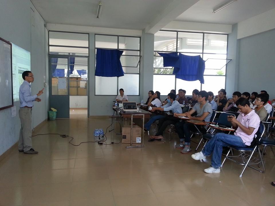
On Sunday, October 20, the ODC Mapping team brought mapping training to the BarCamp Phnom Penh, which was held at the Institute of Technology of Cambodia (ITC). In attendance were a group of 35 university students and civil society organizations staffs. Leading the mapping session, Seila and Naro introduced the workshop participants to some free tools and simple techniques which they can use to create maps for their school projects or for work.
In the first half of the session, Seila discussed mapping as a tool for data visualization and story telling; ways to collect, clean and prepare data for map mapping; and introduced simple and free web mapping platforms such as Google Map, Open Street Map, and Field Papers as a starting point for a first mapping project. In the second half, Naro demonstrated mapping techniques using QGIS and spatial data, which can be downloaded from either the ODC Download Maps section or the GeoCommons. As an open data platform, ODC offers, at free of charge, a base map and layers of economic, environmental, and socio-economic data to create customized maps.
During the Q&A session, some topics for a future presentation were recommended. Participants requested a session on how to embed maps on websites and inquire if there are additional resources for students to learn more about mapping. The ODC Team has recommended the Phnom Penh Mapping Meetup, a mapping community in Phnom Penh that hosts a monthly networking event with a complimentary open group on Facebook. ODC helps to coordinate and facilitate these meetups. Typically, two to three presenters demonstrate mapping techniques or present findings from a research project that utilizes spatial data. The PPMM #21, which is scheduled for October 29th, will be on remote sensing.
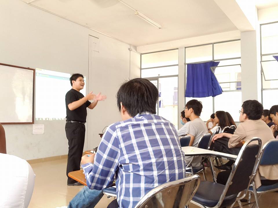
Naro answering questions on GeoCommons
About Presenters: Mean Naro is a Senior Mapper at ODC. He has a master’s degree in Natural Resources Management from the Royal University of Agriculture. Seila is a Mapping Coordinator at ODC. He earned his M.Sc degree in Geographic Information System and Remote Sensing from the Asian Institute of Technology. ————————— More photos from the BarCamp Phnom Penh can be found here. Download: Making Digital Maps presentation slides.

