The training workshop on the fundamentals of QGIS attract public attention
Quantum Geographic Information System (QGIS) is a useful spatial visualization and analysis tool that is becoming a viable alternative to more expensive software packages. It is also an open-source software package that relies on expert and user contributions worldwide. QGIS has many functions related to producing maps, it works on viewing data, exploring data and composing maps, creating, editing, managing and exporting data, analyzing data, publishing maps on the internet and so on. Since Open Development Cambodia (ODC) is the expert with plenty of experience producing maps, Geographic Information System (GIS) training has become an interesting topic in ODC.
Likewise, on 1st-2nd August 2022, ODC conducted a training workshop on the fundamentals of QGIS. The workshop aimed to provide comprehensive knowledge of GIS and use open-source QGIS for data collection, data management, and mapping by using the environment, land, and natural resources as the theme of the workshop.
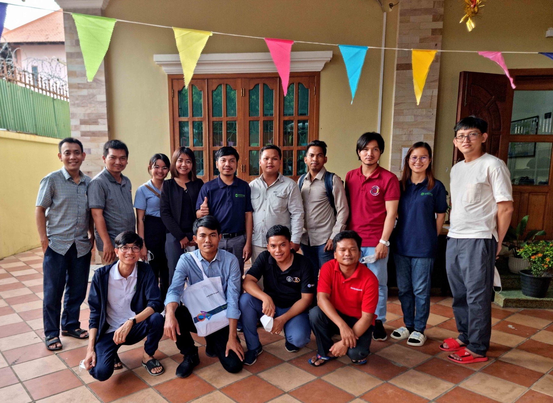
During the announcement of the training workshop, 111 people had registered, but only 10 participants (2 females) got selected because one of the main objectives of the workshop focused on making the participants recognize and implement the QGIS tools on the spot. The participants were from non-governmental organizations (NGOs), government officers, university students, lecturers, and employees of private companies actively working on land, environmental and natural resources.
On the first day of the training, Mr. Loch Kalyan, Data Research and GIS Specialist welcomed the participants and explained participants the importance of their involvement in the training workshop. The session started with the interaction between the participants and the ODC team to get to know each other well before the training. All participants were required to participate in a web-based pre-test to gauge their preexisting knowledge.
On the same day, Mr. Vong Pisith, Senior Data Research & GIS officer, used his professional skill and knowledge to share his specification and deep understanding of GIS. The lesson strengthened the capacity of the trainees to know more about GIS and all the concepts of GIS fundamentals before they get to practice.
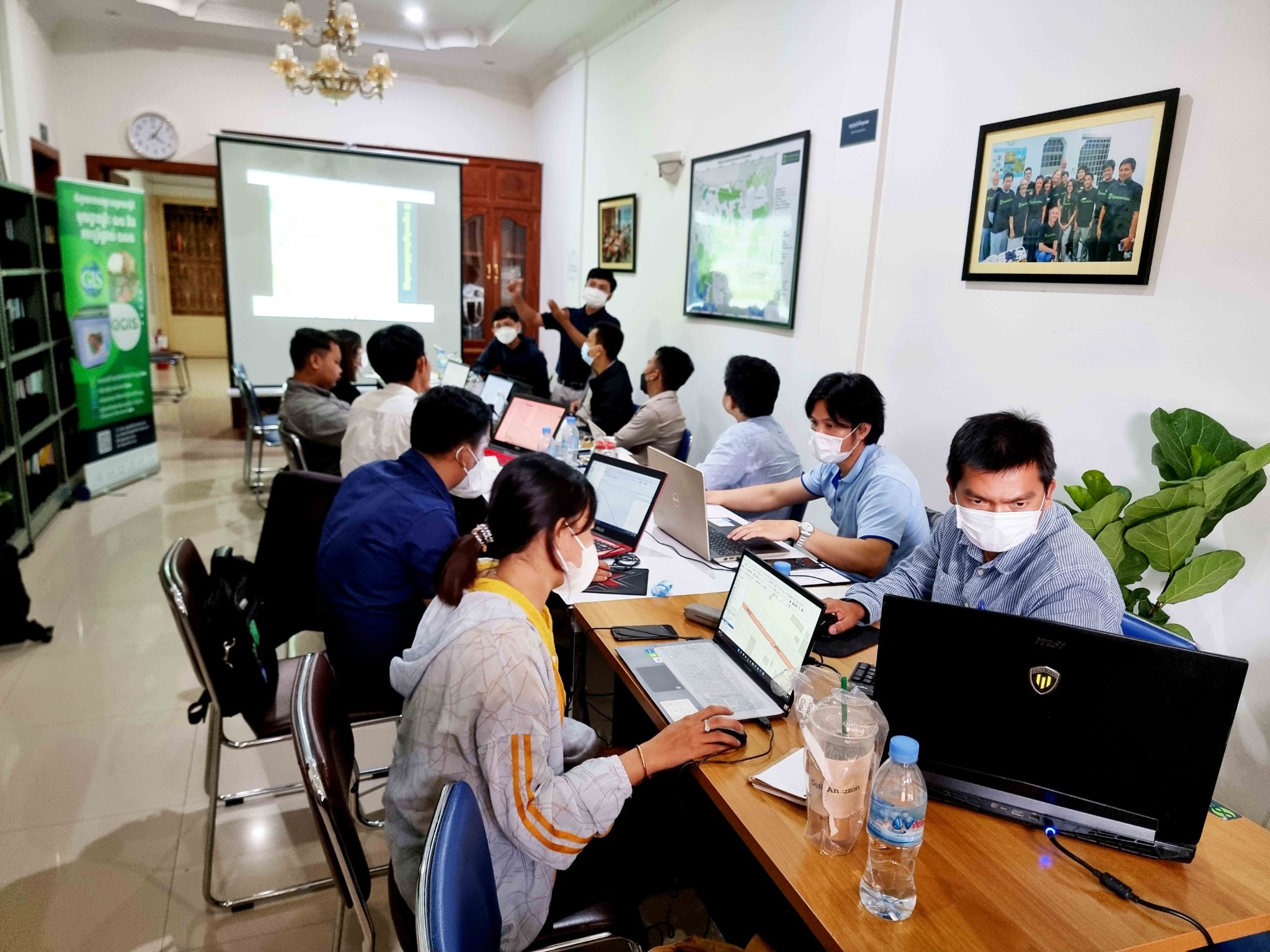
During the practice session of the QGIS application, it was introduced and explained thoroughly by the trainers since they needed to make sure that all trainees were on the same page to have the QGIS application installed on their personal PCs and entered to the Learning Management System (LMS) of Google Classroom to connect each other. The participants could display the Geospatial data both vector and raster data to the QGIS application and the guidance of all the specific features and functions that the trainee needs to understand.
In the afternoon, Mr. Y Puthealy, Data Research and GIS Officer handled the session of creating the vector data of point, line, and polygon and directed the tool of converting the projection by reprojection and define projection.
On the second day, it was time for the participants to practice geoprocessing tools such as buffer, clip, union, dissolve, and difference in the QGIS application. The trainees got to understand the geoprocessing tools and understand the geoprocessing tools on how to get the polygon from coordinate numbers using the processing toolbox to convert the point to path and from path to the polygon. The participants were also guided on how to make symbology in QGIS application, what should be highlighted in the map, and how to use color of the map to attract the map reader’s interest.
For the last training session, there was an introduction and practice on adding all the map elements to the map canvas to print out or export their custom map for their story map. There was also a hands-on practice where everyone could have time to produce their map by following the assignment from the trainers. The practice was about producing a story map on the flooding which affected the build-up area in the Toul Kork district. The trainees needed to use all the QGIS tools they had learned during the 2 days of training.
The trainee’s maps were published in the GIS forum group, receiving comments and suggestions from the audiences and the trainers. Three trainees who could work well and make a better map were awarded a gift while participants could obtain the certificate as they all could complete their assignment. Before ending the training, post-tests were conducted to measure the changes in the knowledge of GIS and QGIS tools after the two days training.
According to the evaluation report, All the participants were noticeably satisfied with the workshop as more than 90% of them stated that they boosted their understanding of QGIS after having completed the training. They could identify data to input in QGIS, conduct geoprocessing, and make maps for their own use either completely by themselves or by occasionally referring to provided training materials.

