Technical Mapping Meet-up highlights innovations in agriculture mapping, conservation technology, and forest disturbance monitoring
Open Development Cambodia (ODC) successfully organized the Technical Mapping Meet-up on 22 May 2026 in Phnom Penh. The event brought together 47 participants (16 women and 2 indigenous people) Geographic Information System (GIS) professionals, researchers, conservation practitioners, government, civil society organizations, students, and technology enthusiasts to exchange knowledge and experiences on geospatial technologies and mapping in Cambodia.
Beyond a technical gathering, the meetup served as a collaborative platform for knowledge sharing, networking, and innovation, reflecting the growing geospatial and open data community in Cambodia.
Building an open and collaborative geospatial community
The event opened with welcoming remarks from Ms. Koem Chhuonvuoch, Natural Resource Program Coordinator of ODC, who introduced the objectives of the meetup and the invited speakers.
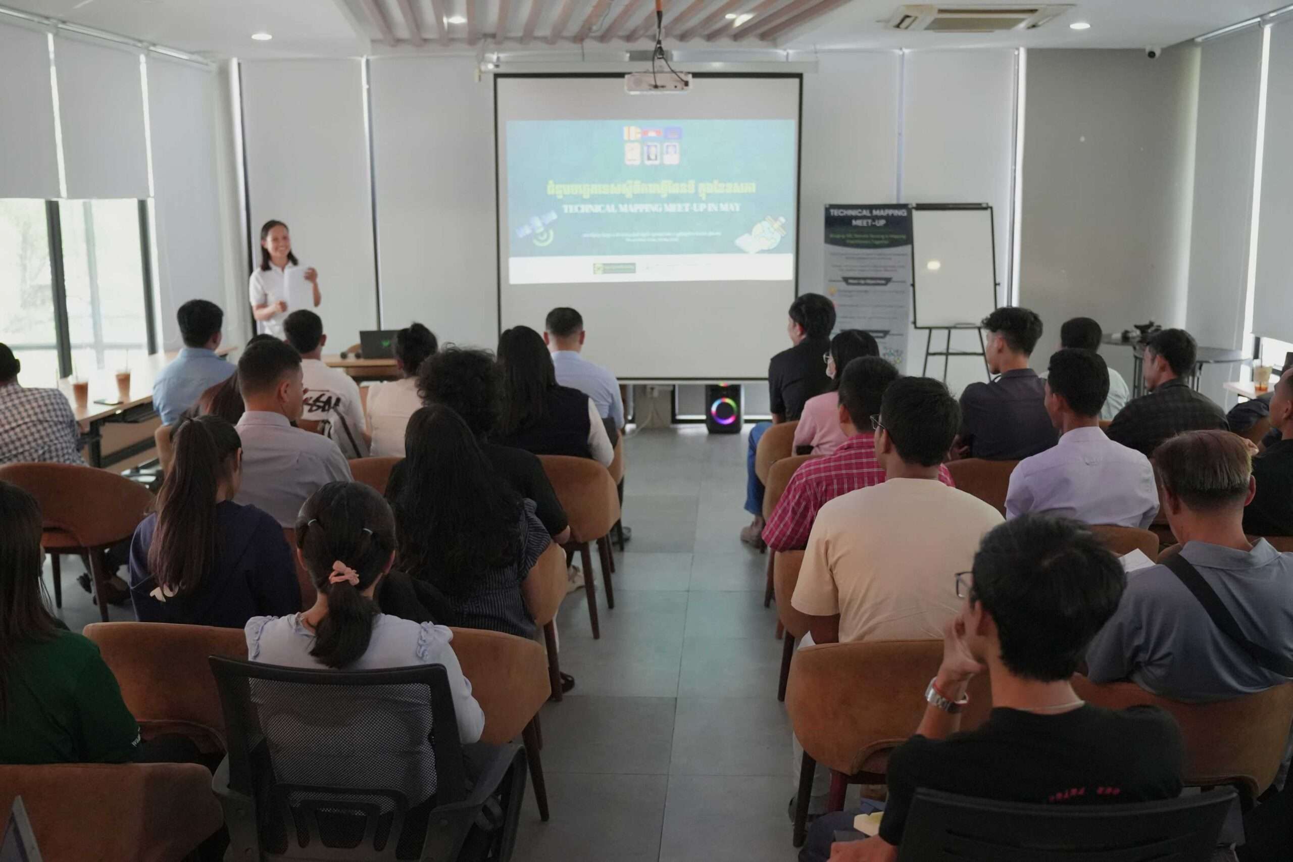
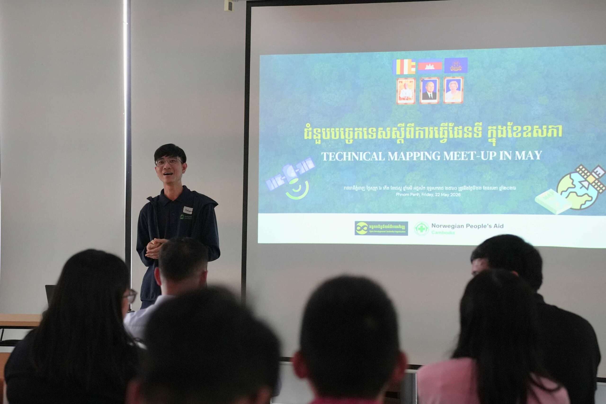
In his keynote speech, Mr. Loch Kalyan, Data and GIS Specialist of ODC, emphasized the importance of building an open technical community where professionals and students can exchange practical experience and collaborate on innovative mapping technologies in Cambodia. He highlighted that the meetup is not only a technical learning space but also a platform to strengthen professional networks and inspire the next generation of geospatial practitioners.
Special appreciation was extended to Norwegian People’s Aid (NPA) for supporting the revival of this initiative, as well as to all speakers, partner organizations, participants, and the ODC team.
Opening perspective from the donor
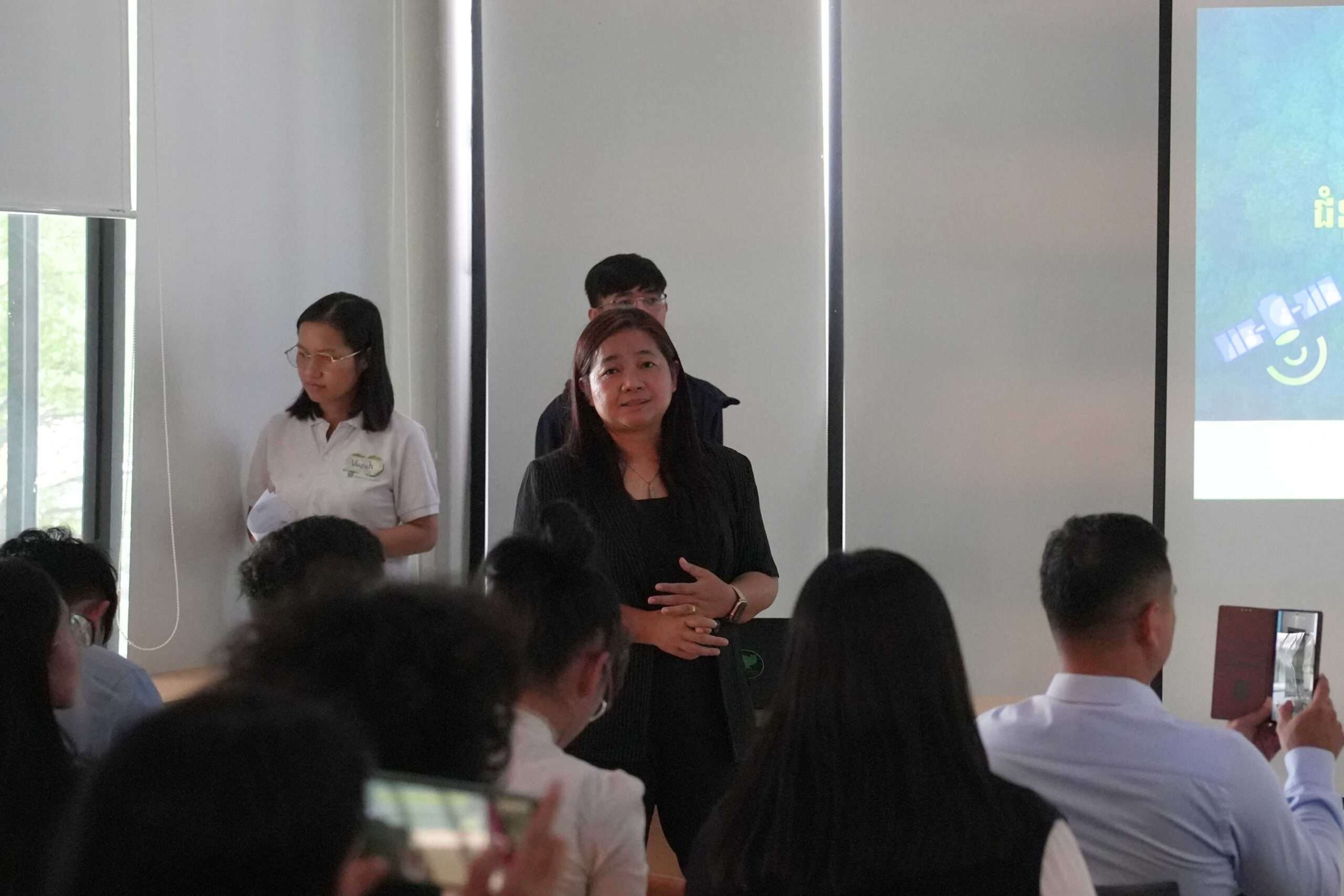
Ms. Khim Nina, Programme Manager of the Development Humanitarian Cooperation Programme at Norwegian People’s Aid (NPA), delivered opening remarks highlighting NPA’s commitment to supporting humanitarian and development initiatives, including community empowerment, technology, and sustainable resource management in Cambodia.
Session 1: Agricultural Field Boundary Segmentation using Foundation Model in Cambodia
The first session introduced AI-based agricultural field boundary segmentation using foundation models, presented by Mr. Teck Vanna, Technical Specialist of Spatial Information Group (SIG).
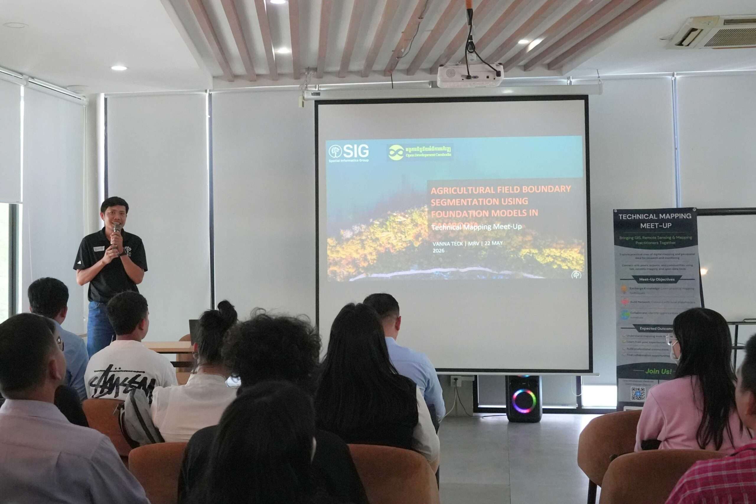
Participants explored how satellite imagery and machine learning can be used to map agricultural areas such as rice fields, mango farms, and cashew plantations. The discussion around Google Earth Engine, training datasets, and prediction embeddings highlighted both the potential and limitations of AI in real-world mapping contexts.
Participants noted that the session helped them:
- Understand new AI applications in agricultural mapping
- Gain exposure to emerging geospatial models and tools
- Reflect on the importance of high-quality training data for accurate analysis
- Reconsider how GIS can be applied in their own projects
Session 2: Strengthening Protected Area Monitoring and Response with Conservation Technology
The second session, delivered by Ms. Kong Sophalrachana, Conservation Technology Specialist of Wildlife Conservation Society (WCS), presented how conservation technologies such as SMART and EarthRanger are used to strengthen protected area monitoring.
The case study from Keo Seima Wildlife Sanctuary illustrated real operational challenges in addressing deforestation and illegal activities.
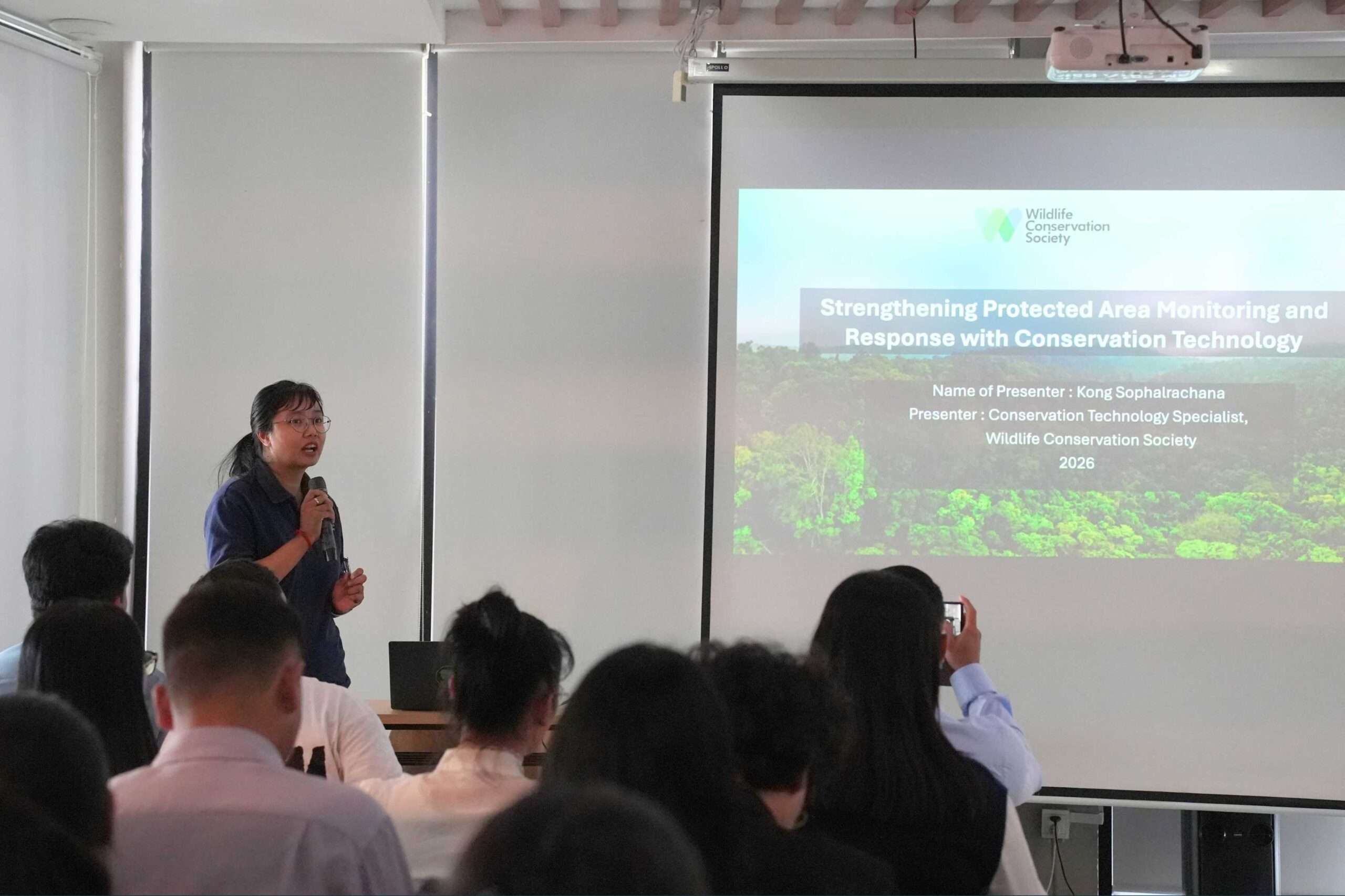
Participants reflected that the session:
- Introduced new conservation applications and tools
- Improved understanding of satellite and field data integration
- Highlighted the importance of data-driven decision-making in conservation
- Encouraged appreciation for collaboration between technology and field teams
Many participants also expressed that learning from multiple organizations (WCS, SIG, and ODC) broadened their understanding of how different platforms contribute to environmental monitoring.
Session 3: Forest Disturbance Platform
The final session introduced ODC’s Forest Disturbance Platform (Draft), demonstrating how forest alert data and land cover information can be used for environmental monitoring and policy support.
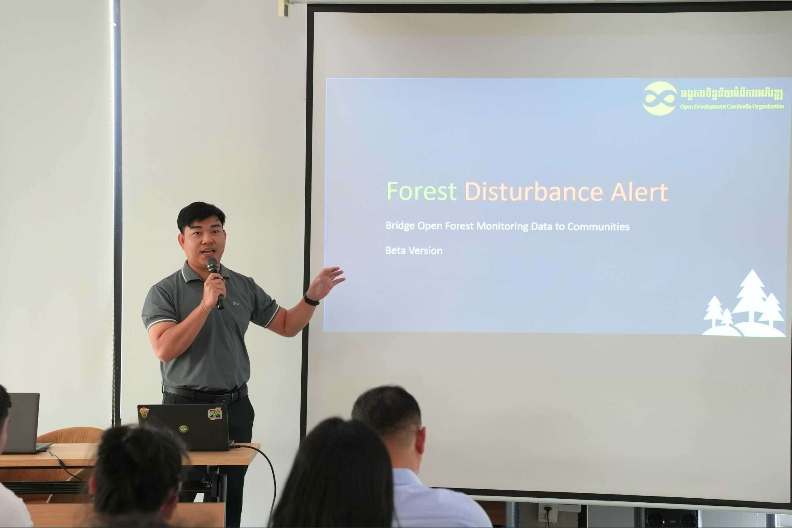
Participants engaged directly with the platform and shared feedback on usability and improvements.
Reflections from participants highlighted:
- Exposure to new digital mapping tools and platforms
- Better understanding of forest disturbance monitoring systems
- Appreciation for open data initiatives in Cambodia
- Interest in applying similar tools in community-based mapping
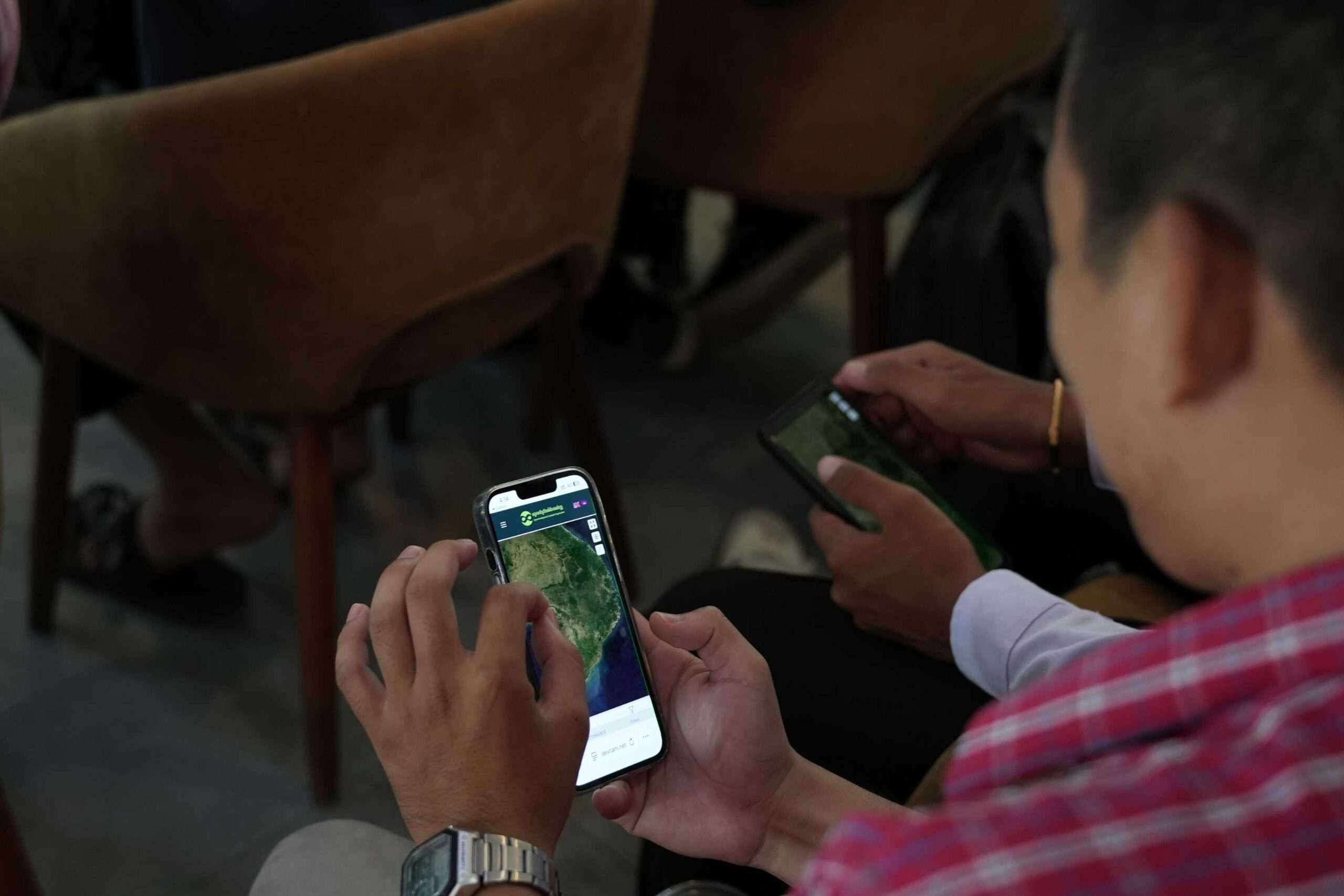
Participant reflections: Key takeaways from the meet-up
Feedback from participants showed that the meetup had a strong impact on both technical understanding and professional motivation.
Learning through knowledge exchange
Many participants emphasized that the most valuable experience was learning from experts and peers, especially through real-world case studies and shared experiences.
“Good place to learn from others.”
“Learning by sharing.”
“Experience sharing helps build stronger commitment in our work.”
Exposure to new tools and technologies
Participants highlighted gaining exposure to new GIS applications, AI models, and conservation technologies, including tools used by WCS, SIG, and ODC.
“New application by WCS and new things from SIG, as well as the ODC platform.”
“Great tools are available.”
“The way of using satellite data changed my thinking.”
Strengthened networking and collaboration
The meetup provided an opportunity for participants to connect with GIS professionals, researchers, and practitioners, which many considered highly valuable.
“Have made connections and learned more about new models.”
“Networking and meeting people involved in GIS and remote sensing.”
“Rebuild the connection and the way forward.”
Inspiration for practical application
Several participants noted that the event encouraged them to apply GIS and mapping knowledge more effectively in their own work and research.
“Changed my opinion about GIS and gave me new ideas for my project.”
“Get more insights on GIS and problem solving.”
“Meet more people, gain different knowledge, and think differently.”
Open and inclusive learning environment
Participants also appreciated the open and relaxed environment that encouraged technical discussion and idea sharing.
“Freedom for technical idea sharing, feels relaxing.”
“Sharing makes communities better.”
“Very fruitful event.”
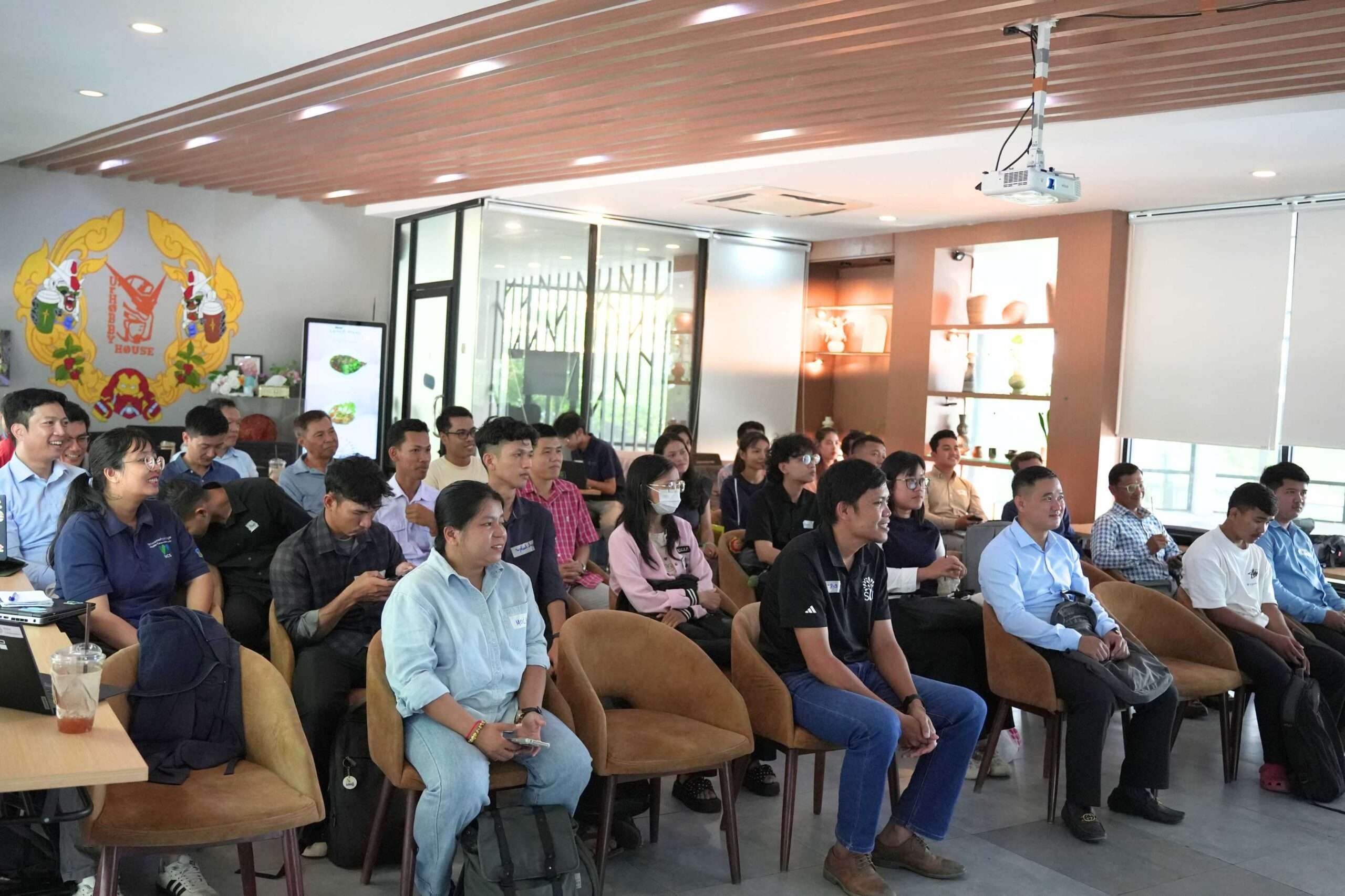
Networking
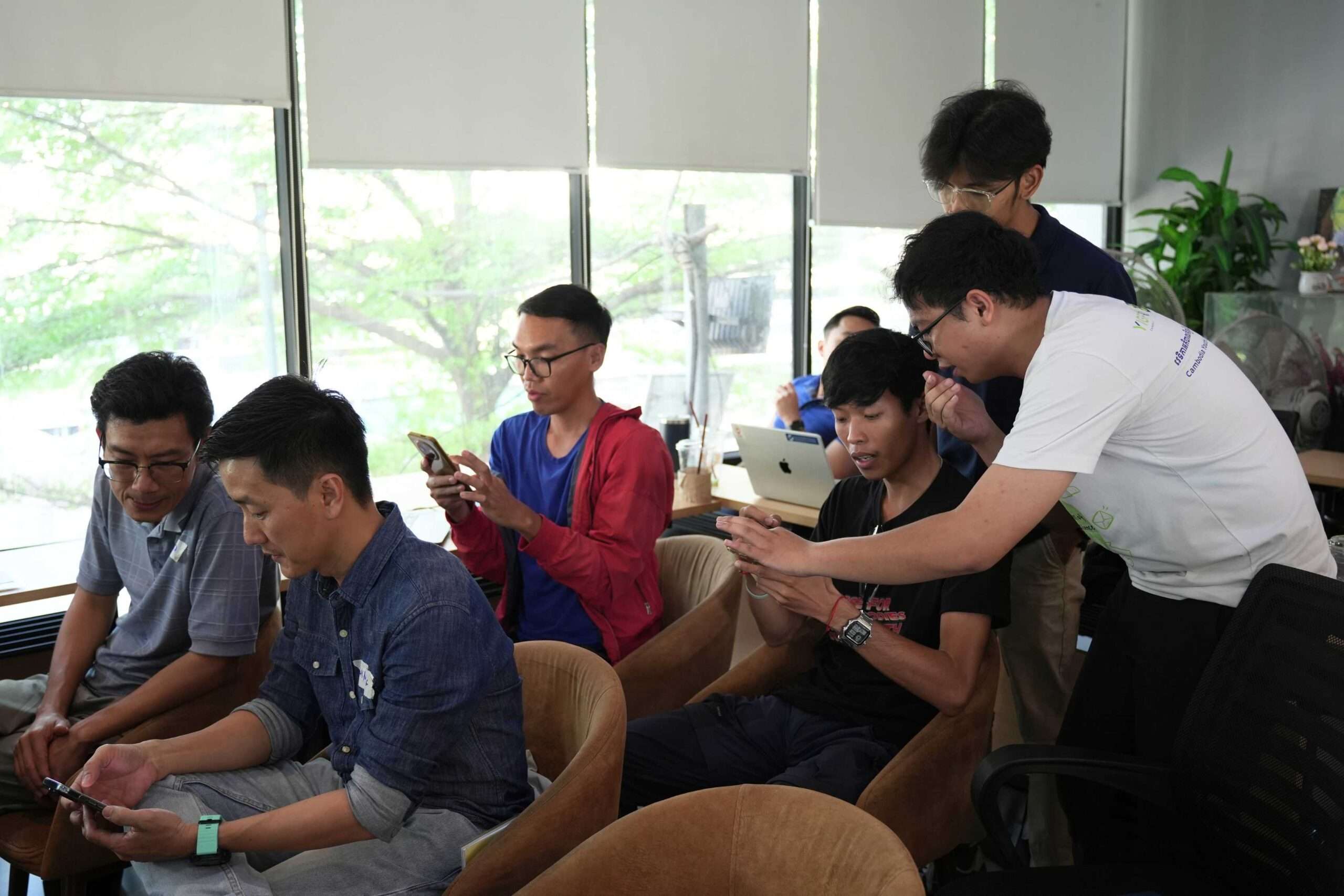
The event closed with a networking session where participants continued discussions and explored opportunities for collaboration across sectors.
The Technical Mapping Meet-up demonstrated that geospatial innovation in Cambodia is increasingly driven by collaboration, openness, and shared learning.
Participant reflections confirmed that beyond technical knowledge, the event created value through:
- Exposure to new tools and approaches
- Strengthened professional networks
- Increased motivation for applied GIS work
- Greater appreciation for data-driven environmental solutions
ODC hopes this meetup will continue to grow as a platform where knowledge, technology, and community come together to support sustainable development and natural resource management in Cambodia.

