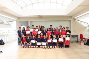
ជំនួបរវាងសាលាឡៃហ្គឺ (Liger) និង អង្គការអូឌីស៊ី៖ សិស្សដែលមានទេពកោសល្យ ទទួលវិញ្ញាបនបត្រវគ្គសិក្សាប្រព័ន្ធព័ត៌មានភូមិសាស្ត្រ
ទីតាំងសាលាឡៃហ្គឺ (Liger) ស្ថិតនៅពីក្រោយលំនៅដ្ឋានមួយចំនួននៅជាយរាជធានីភ្នំពេញនៃប្រទេសកម្ពុជា។ អ្នកនឹងមិនរំពឹងថា នឹងមានតំបន់លេចធ្លោតូចមួយ នៅចំកណ្តាលទីក្រុងដ៏មមាញឹកជាមួយម៉ូតូរាប់ពាន់ រ៉ឺម៉កកង់បី អ្នកលក់ដូរតាមចិញ្ចើមថ្នល់ និងកន្លែងសំណង់។ ទោះជាយ៉ាងណាក៏ដោយ នៅពេលអ្នកចូលក្នុងច្រកទ្វារ សាលាអន្តរជាតិឡៃហ្គឺ អ្នកនឹងគិតថា ខ្លួនឯងនៅក្នុងសួនឧទ្យាននៃចំណេះដឹង ដែលមានសិស្សវិទ្យាល័យ ១២៨ នាក់ទទួលបានការអប់រំល្អបំផុតនៅកម្ពុជា។ ក្នុងរយៈពេលកន្លះឆ្នាំកន្លងមកនេះ អង្គការទិន្នន័យអំពីការអភិវឌ្ឍ (Open Development Cambodia) បានរួមចំណែកដល់សាលាមួយនេះ ដោយគាំទ្រកុមារដែលមានទេពកោសល្យវ័យក្មេង ពីគ្រួសារក្រីក្រដែលមានសេដ្ឋកិច្ចខ្សត់ខ្សោយមកពីទូទាំងប្រទេសដោយផ្តល់នូវវគ្គបណ្តុះបណ្តាលអំពីប្រព័ន្ធព័ត៌មានភូមិសាស្ត្រ។
កិច្ចសហការនេះ កើតមានឡើងនៅពេលអតីតពណ្ណាធីការ-អ្នកស្រាវជ្រាវជាន់ខ្ពស់ ម្នាក់របស់អង្គការអូឌីស៊ី បានទៅទស្សនកិច្ចសិក្សានៅសាលាអន្តរជាតិឡៃហ្គឺ នៅឆ្នាំ ២០១៧ ហើយបានភ្ជាប់ទំនាក់ទំនងដំបូងរវាងអង្គការអូឌីស៊ី និងសាលានេះ។ ភាគីទាំងសងខាង បានឃើញសក្តានុពលនៃកិច្ចសហការ ដែលអាចផ្តល់ប្រយោជន៍ដល់សិស្សានុសិស្ស និងអង្គការអូឌីស៊ី។ បន្ទាប់មកនៅខែកញ្ញាឆ្នាំ២០១៨ ក៏មានការបណ្តុះបណ្តាល ប្រព័ន្ធព័ត៌មានភូមិសាស្ត្រ ដល់សិស្សសាលានេះ។ សិស្សៗដែលមានអាយុពី ១៣ ទៅ ១៥ ឆ្នាំបានរៀនពីរបៀបប្រើប្រាស់ ArcGIS ដែលមាន១០កម្មវិធីសិក្សា ដើម្បីបង្កើតផែនទីដោយខ្លួនឯង ដែលសិក្សារៀងរាល់រសៀលថ្ងៃសុក្រ នៅការិយាល័យអូឌីស៊ីនៅភ្នំពេញ ។ លោក ព្រំ ពន់វឌ្ឍន៍ ដែលជាក្រុមងារជំនាញផែនទីនៃអូឌីស៊ី បានមានប្រសាសន៍ថា <<បន្ថែមពីនេះ យើងបានបង្រៀនពួកគេ ពីរបៀបប្រើប្រាស់ទិន្នន័យទៅតាមបរិបទ ដែលជាជំនាញដ៏សំខាន់សម្រាប់គម្រោង និងអាជីព សម្រាប់អនាគតរបស់ពួកគេ>>។
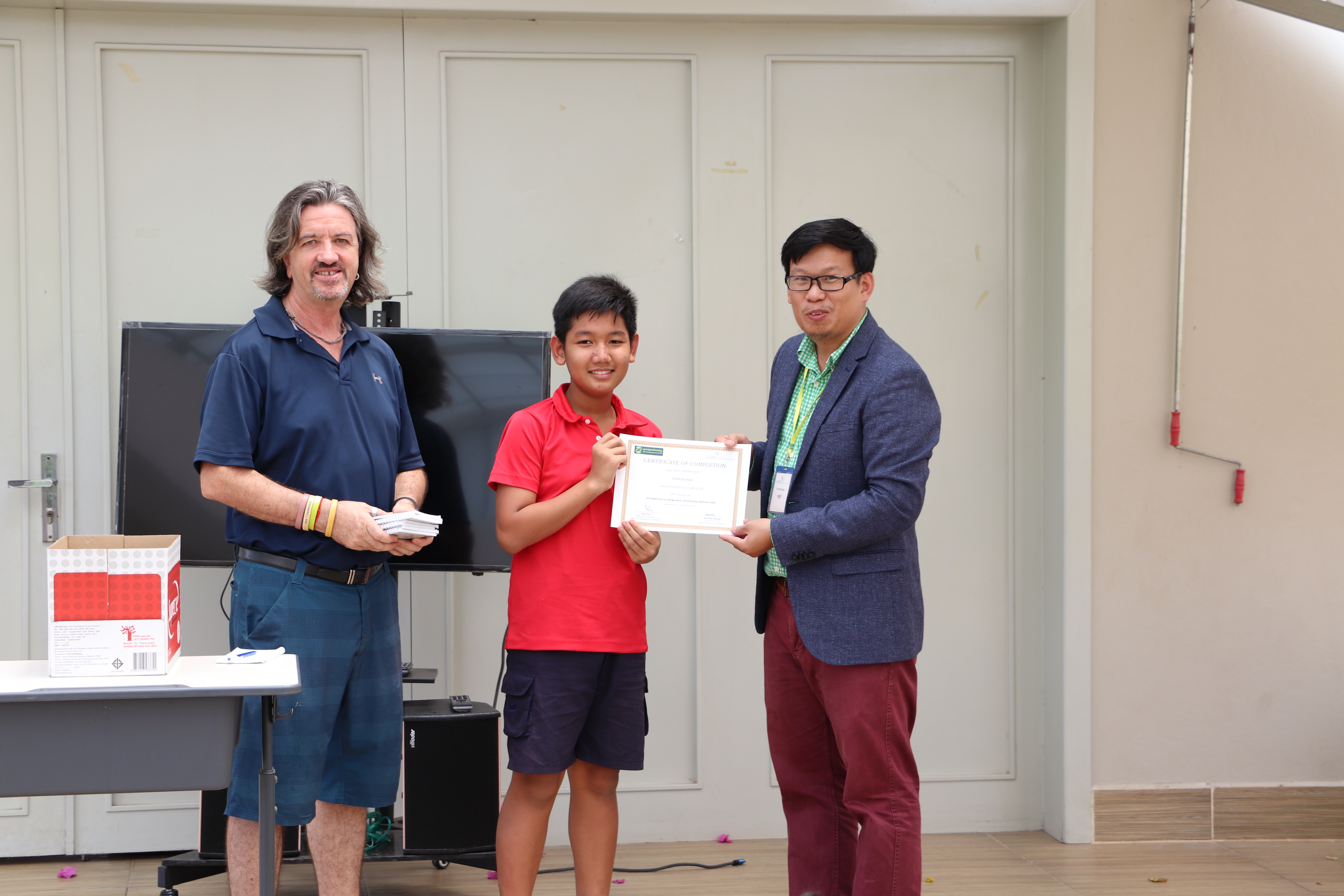
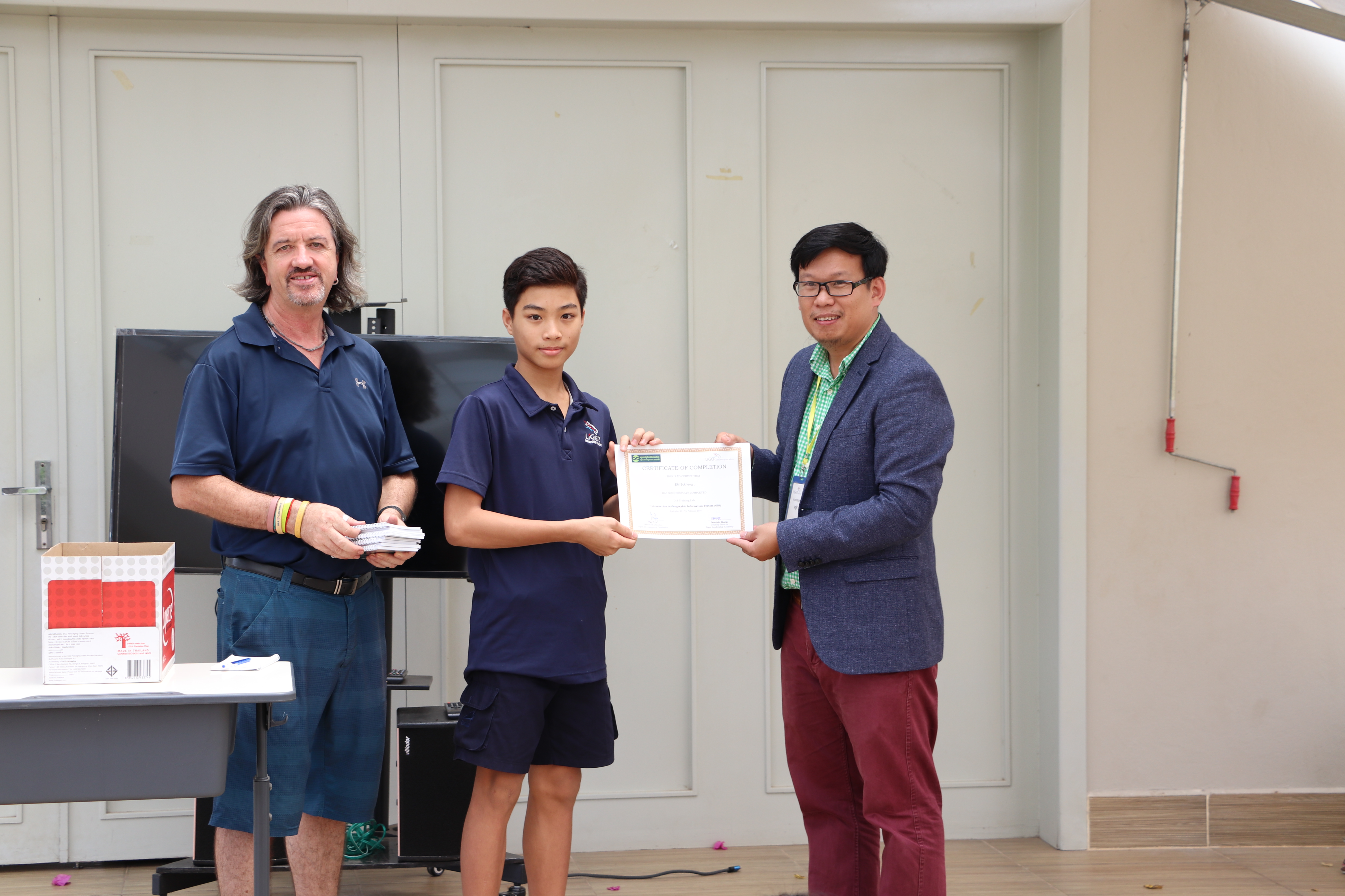
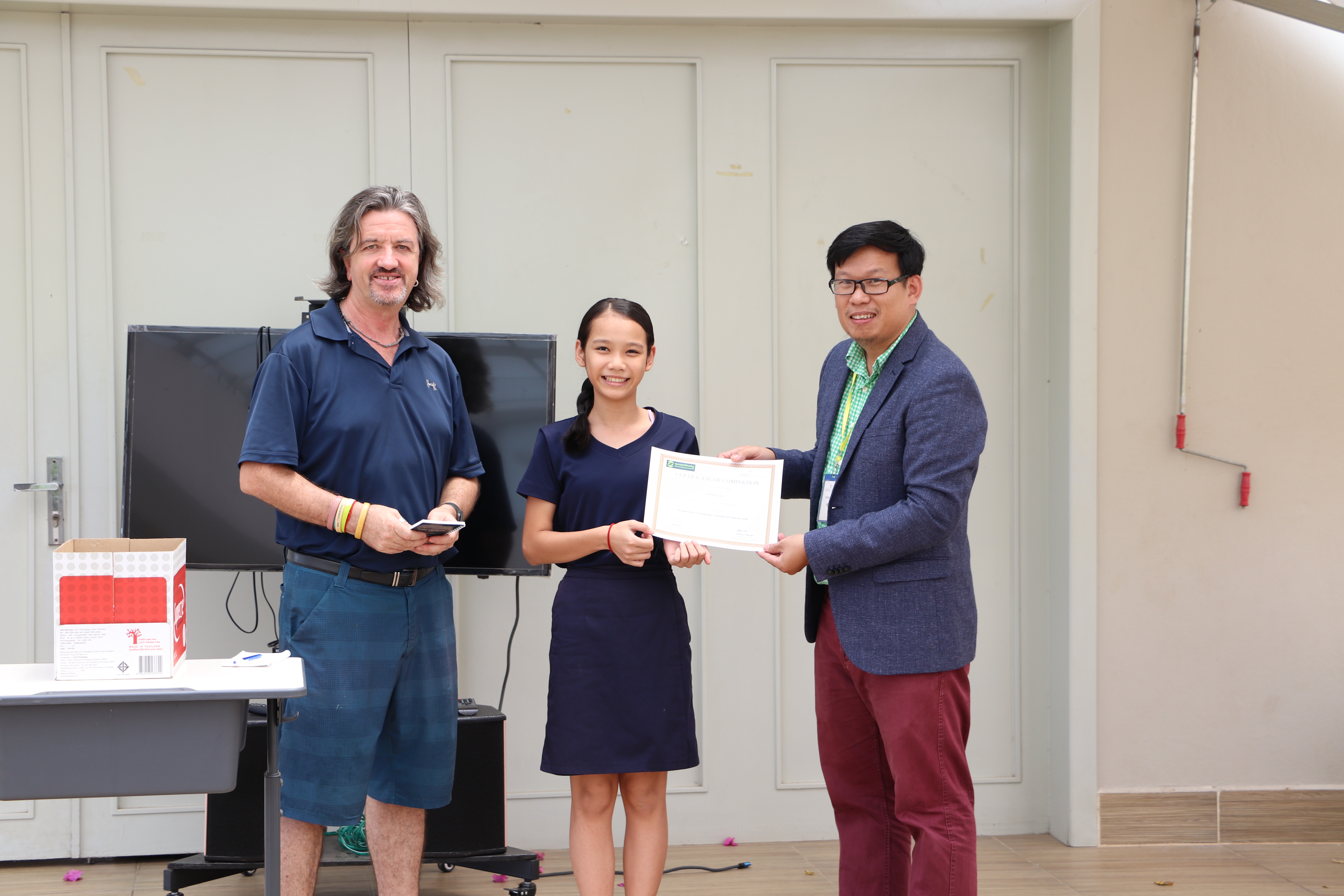
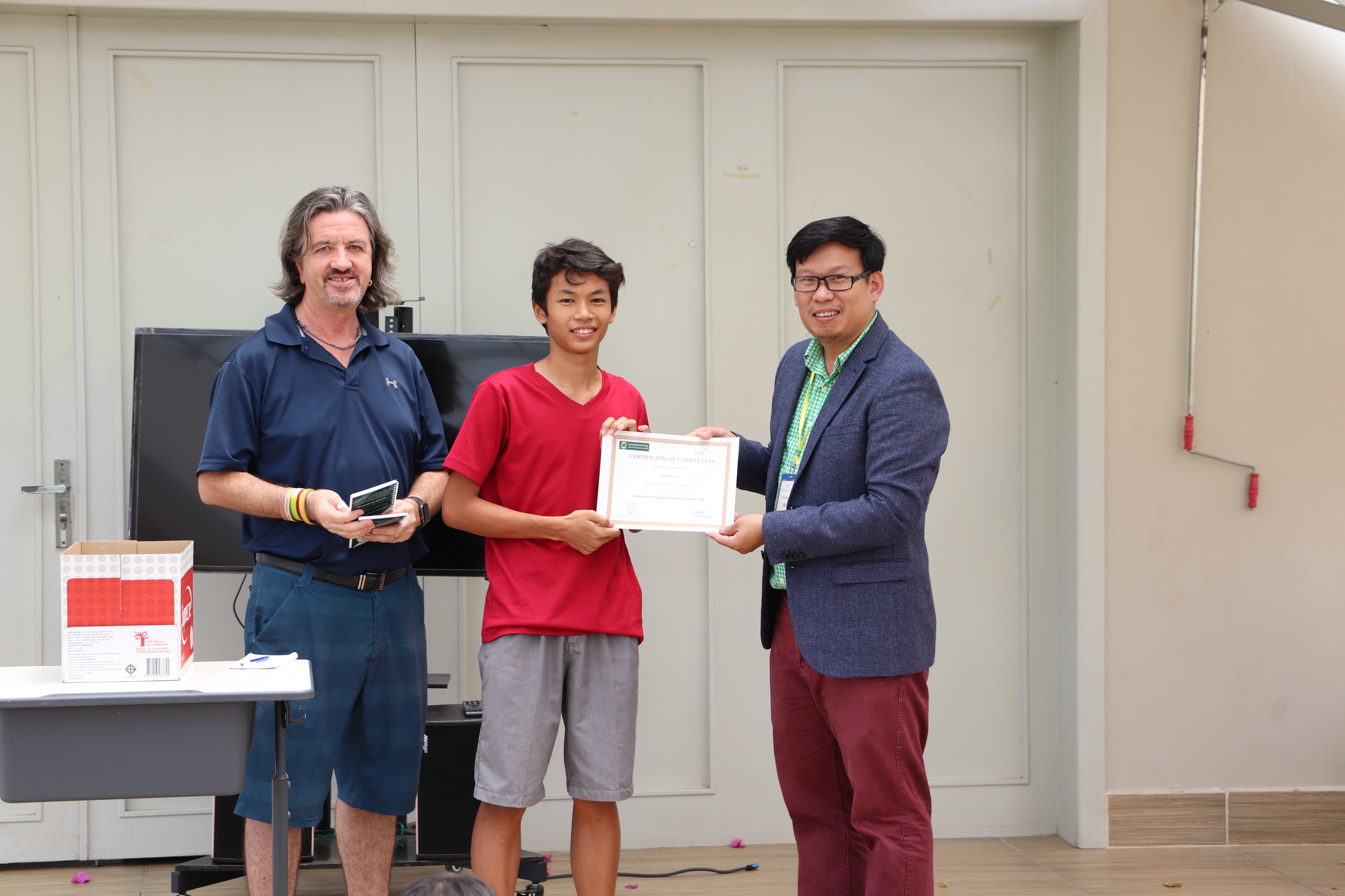
ភាពរីកចម្រើននៃការរៀនសូត្ររបស់សិស្ស មានសារៈសំខាន់ណាស់ក្នុងការអនុវត្តជំនាញ ដែលទទួលបានថ្មីៗ នៅក្នុងគម្រោងផ្ទាល់ខ្លួនមួយក្នុងអំឡុងពេលសិក្ខាសាលា។ ហេតុដូច្នេះ ហើយពួកគេបានបង្កើតសៀវភៅផ្ទាល់ខ្លួនរបស់ពួកគេ ដែលមានផែនទី និងព័ត៌មានអំពីខេត្តនានានៃប្រទេសកម្ពុជា។ លោក ព្រំ ពន់វឌ្ឍន៍ ភ្ញាក់ផ្អើលពី កម្រិតជំនាញរបស់សិស្ស ឡៃហ្គឺ (Liger)៖ <<ក្មេងៗបានធ្វើឱ្យយើងភ្ញាក់ផ្អើលជាថ្មីម្តងទៀតជាមួយនឹងការប្តេជ្ញាចិត្ត និងការលើកទឹកចិត្តរបស់ពួកគេ ហើយខ្ញុំជឿជាក់ថាតាមរយៈការបណ្តុះបណ្តាល យើងនឹងទទួលបានអ្នកប្រើប្រាស់ផែនទីរបស់អូឌីស៊ីបន្ថែម និងកាន់តែច្រើន>>។ សៀវភៅអំពីសេដ្ឋកិច្ចកម្ពុជា និងសត្វព្រៃ ដែលបង្កើតដោយសិស្សៗសាលានេះ នឹងបោះពុម្ភផ្សាយក្នុងពេលឆាប់ៗ ហើយជាសៀវភៅទីបី យោងតាមការបង្ហាញក្នុងពេលទទួលបានវិញ្ញាបនបត្រសម្រាប់ការប្រឡងចុងក្រោយ នៃវគ្គបណ្តុះបណ្តាលរបស់អង្គការទិន្នន័យអំពីការអភិវឌ្ឍ។ សៀវភៅនេះនឹងត្រូវបោះពុម្ពផ្សាយនៅឆ្នាំ ២០១៨ និងត្រូវបានផ្សព្វផ្សាយនៅតាមសាលារៀននៅទូទាំងប្រទេសដើម្បីឱ្យសិស្សកាន់តែច្រើនអាចទទួលបានប្រយោជន៍ពីការងាររបស់អ្នកធ្វើផែនទីវ័យក្មេងទាំងនេះ។
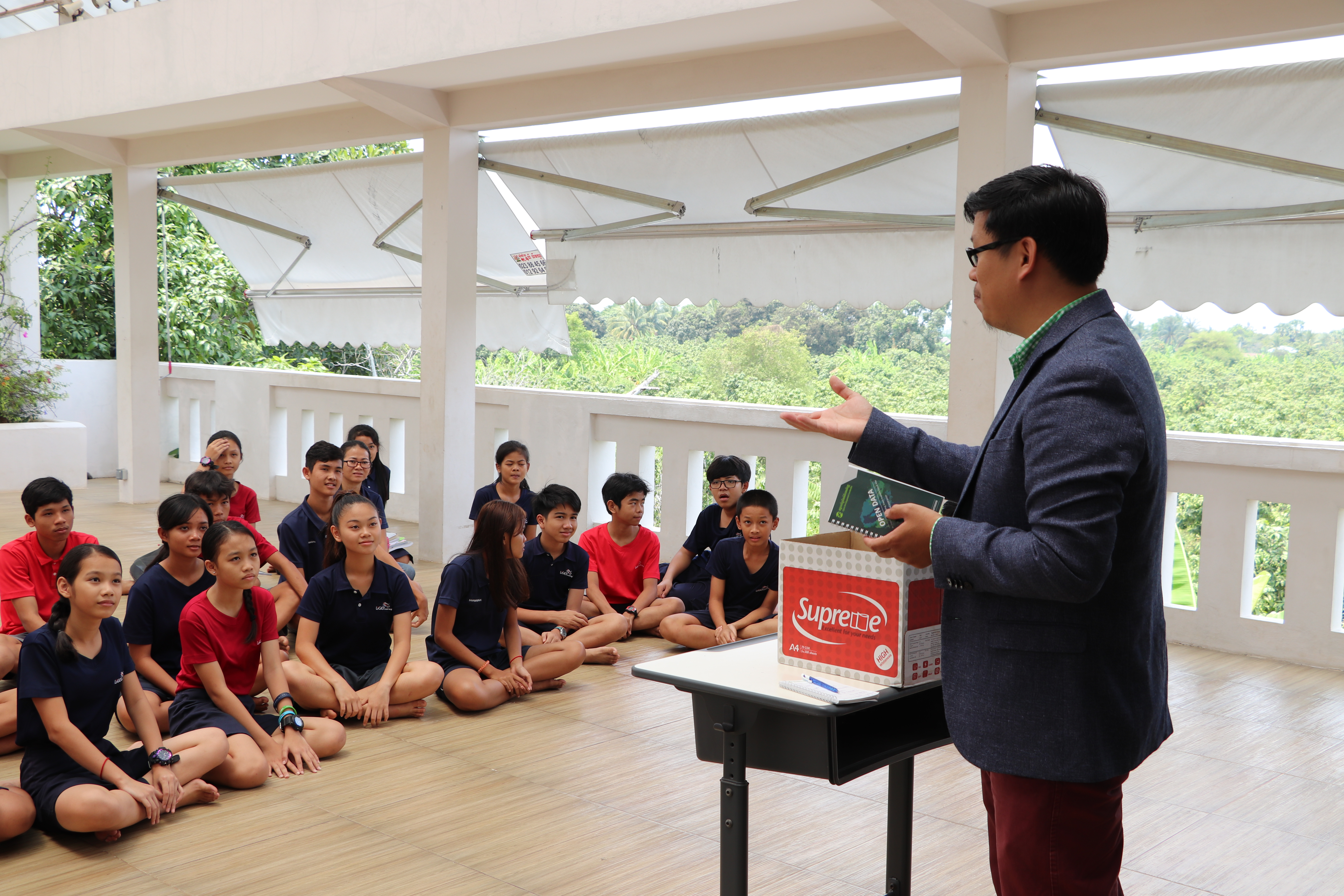
លោកធី ទ្រី នាយកប្រតិបត្តិរបស់អង្គការអូឌីស៊ី បានលកើឡើងពីទំនាក់ទំនងរវាង សាលាឡៃហ្គឺ និង អូឌីស៊ី។
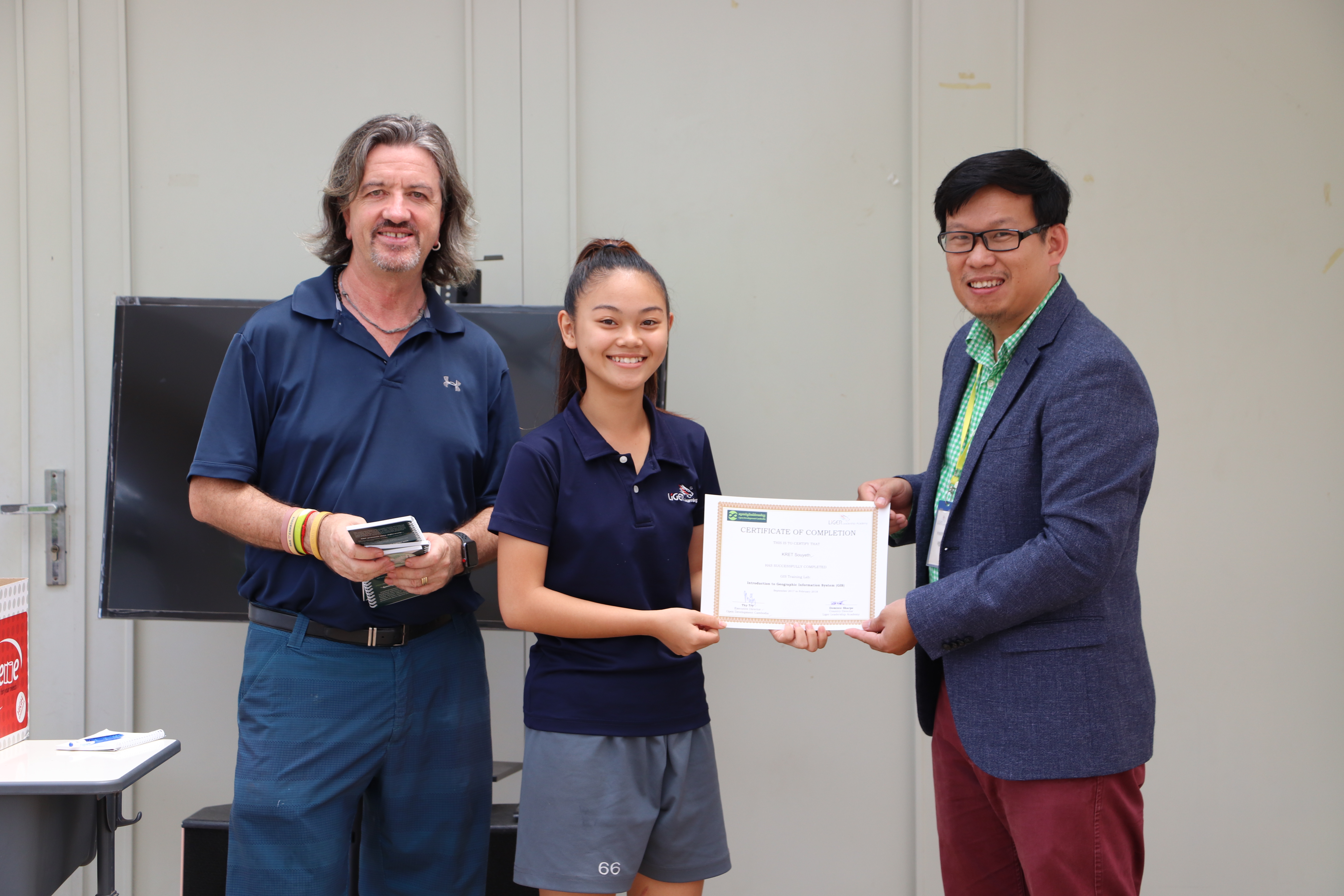
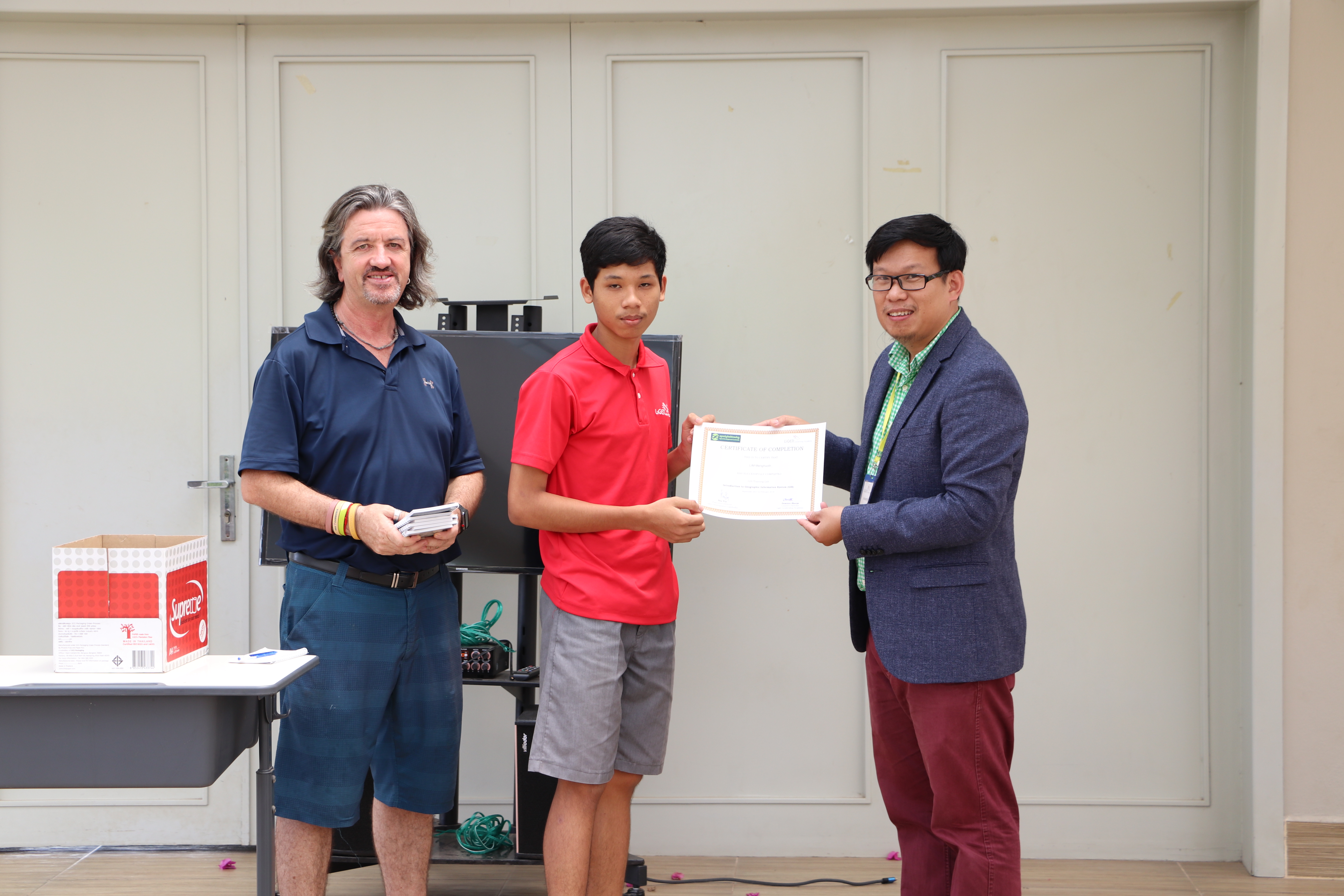
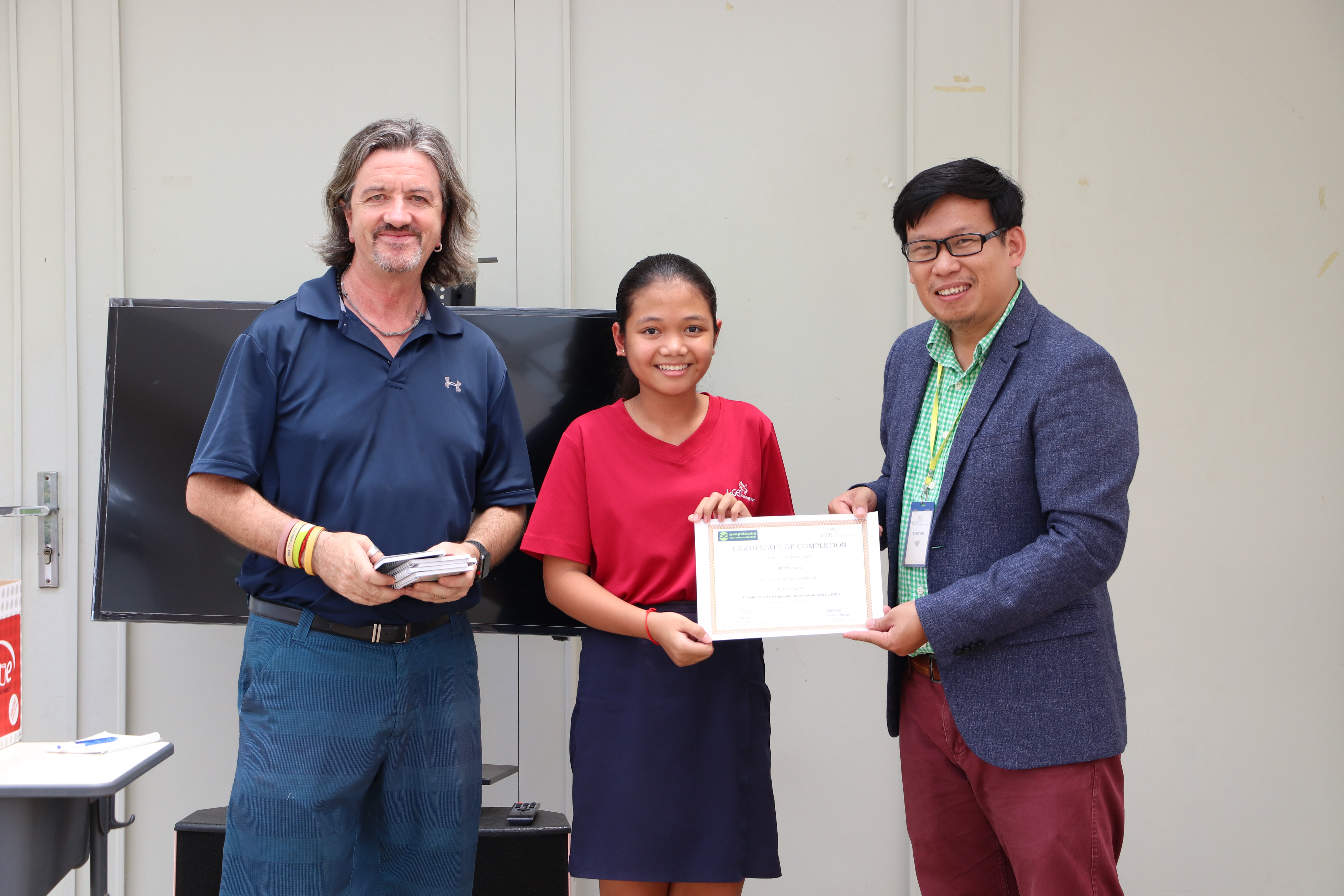
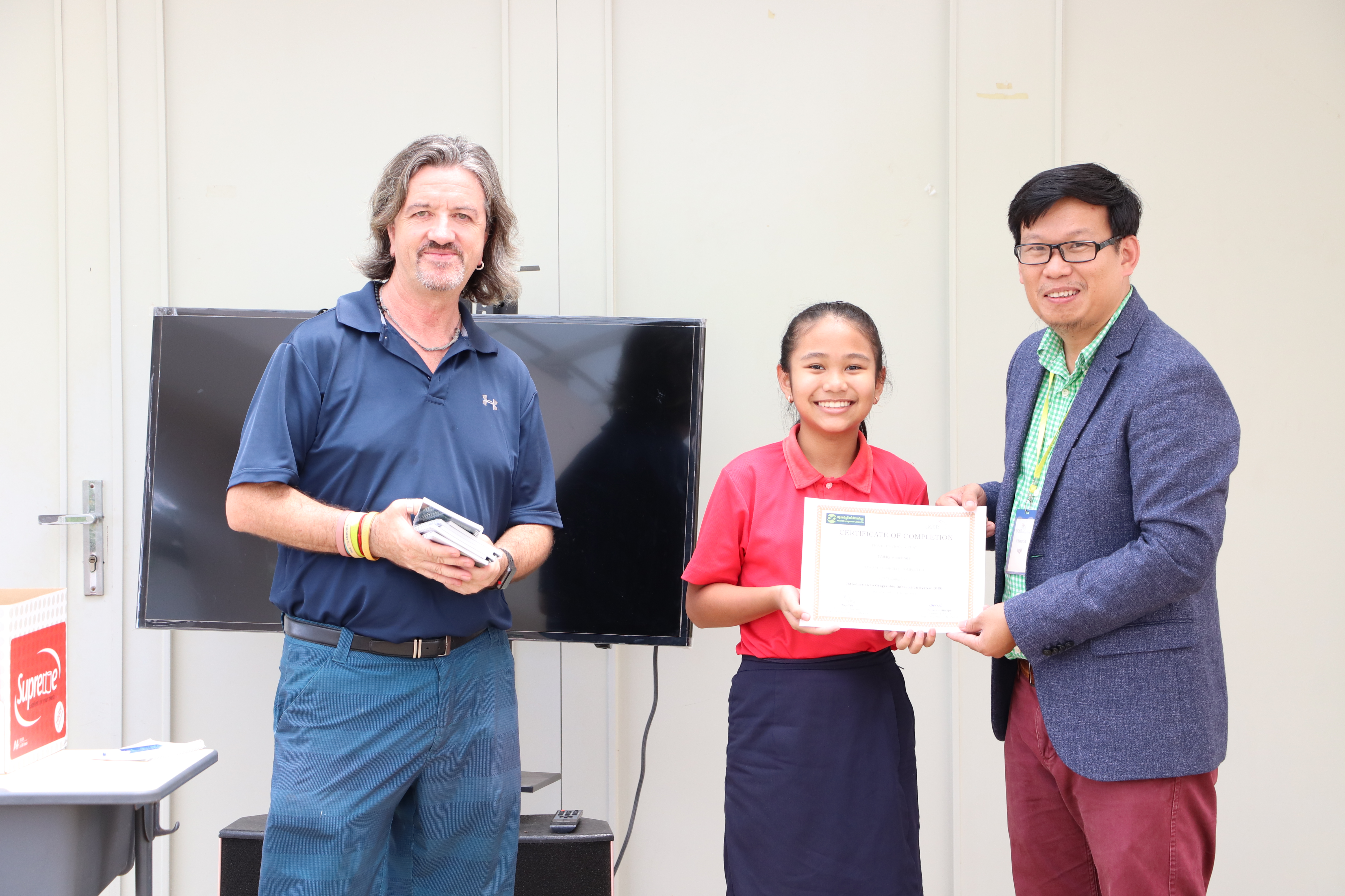
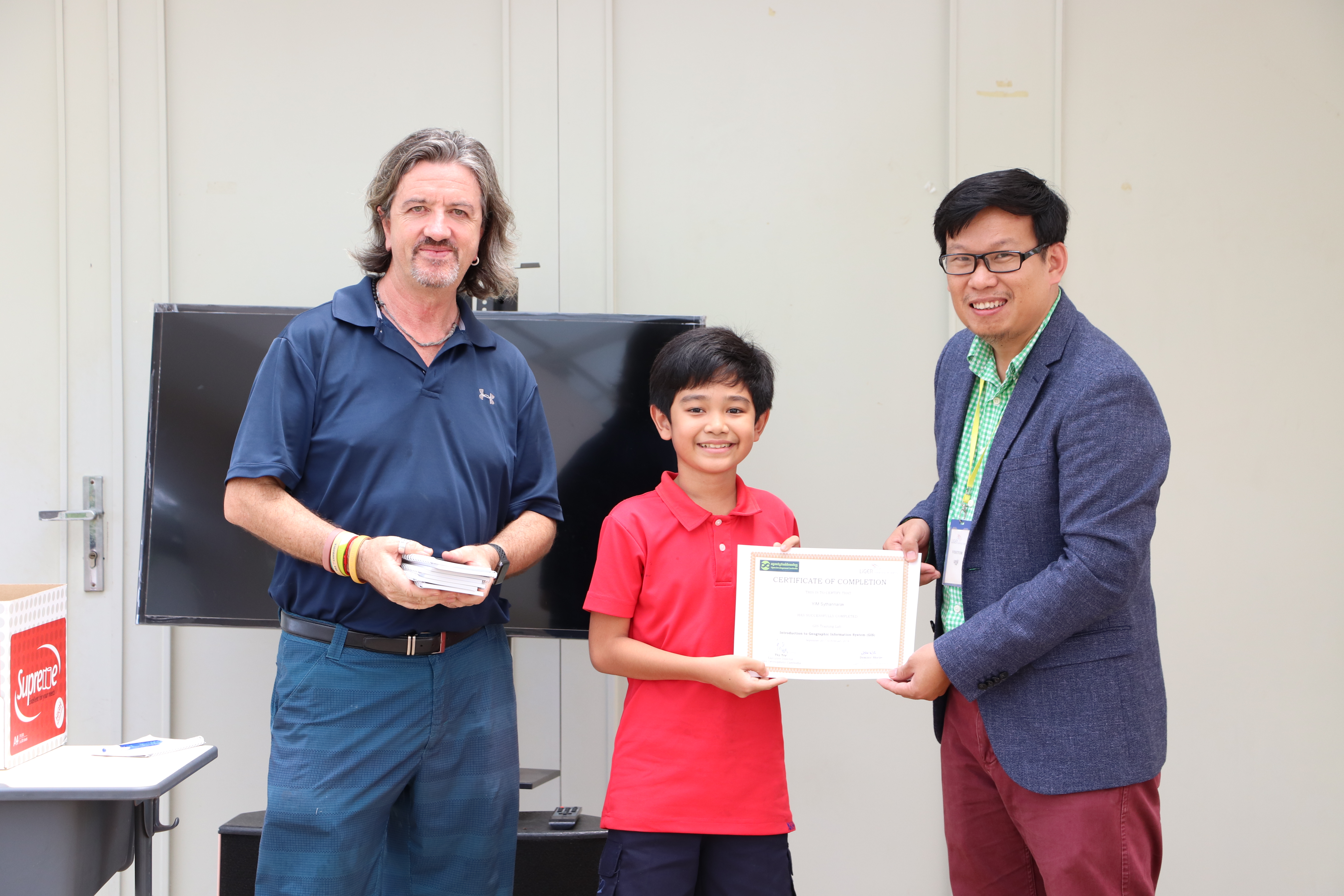
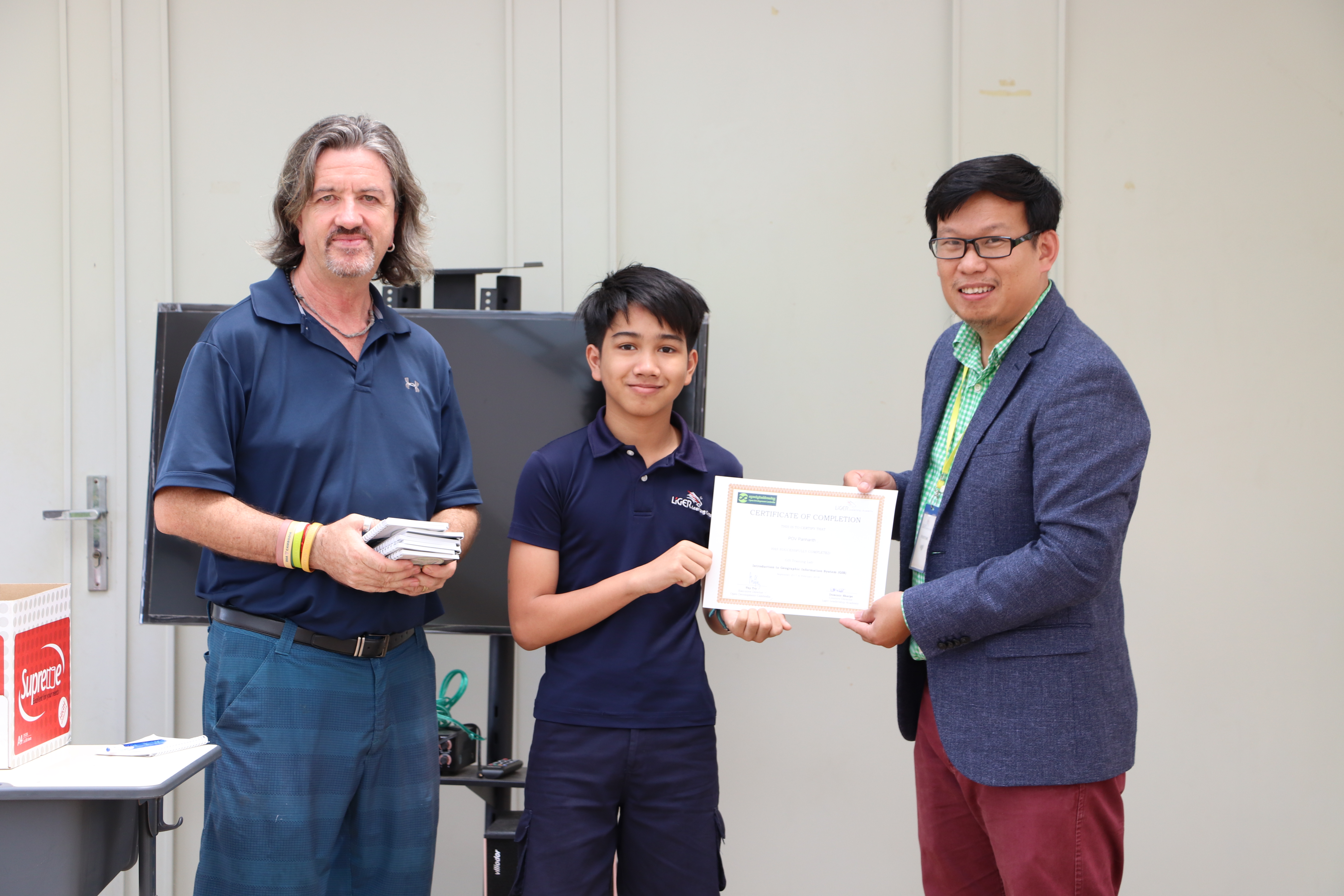
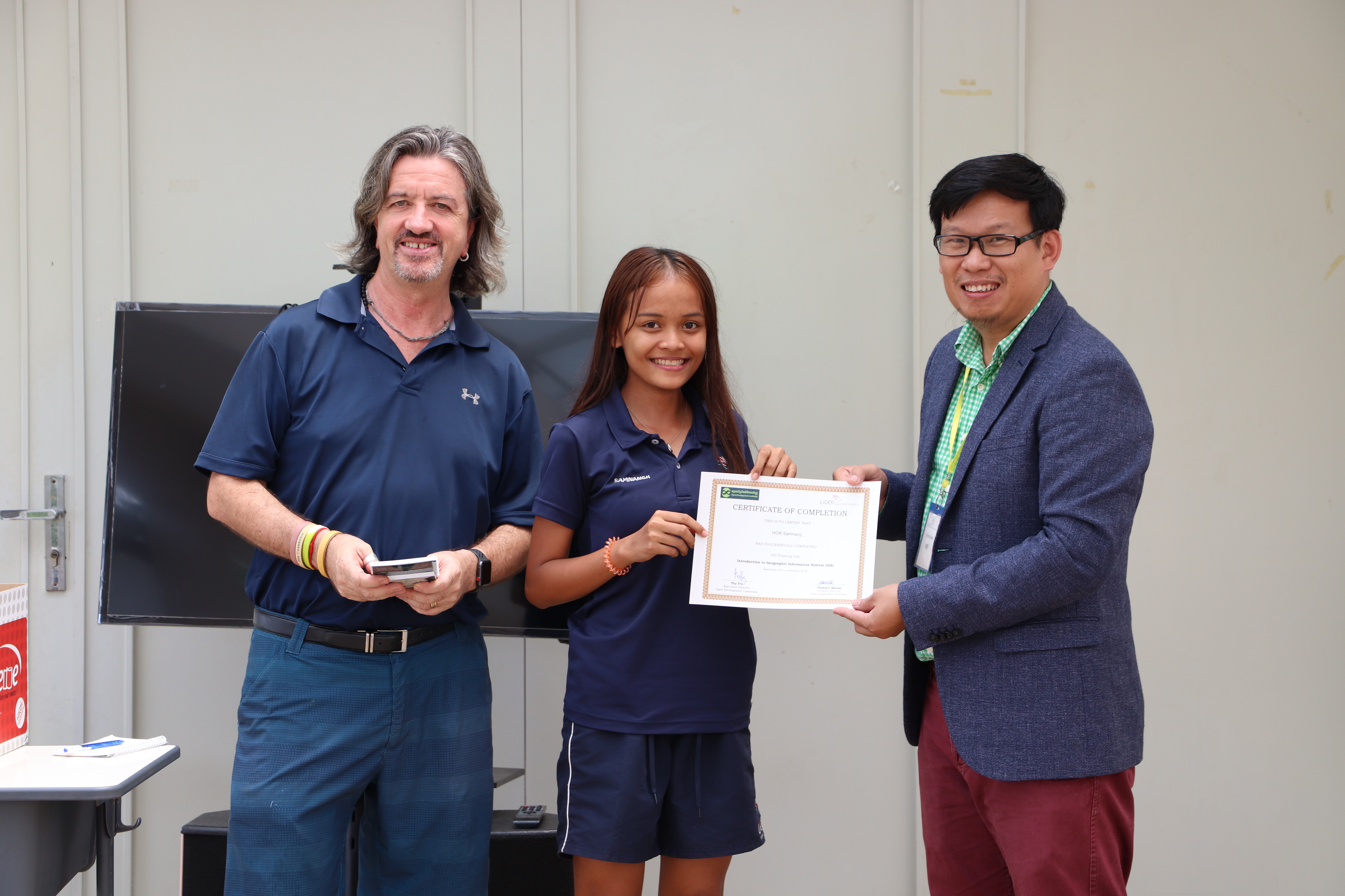
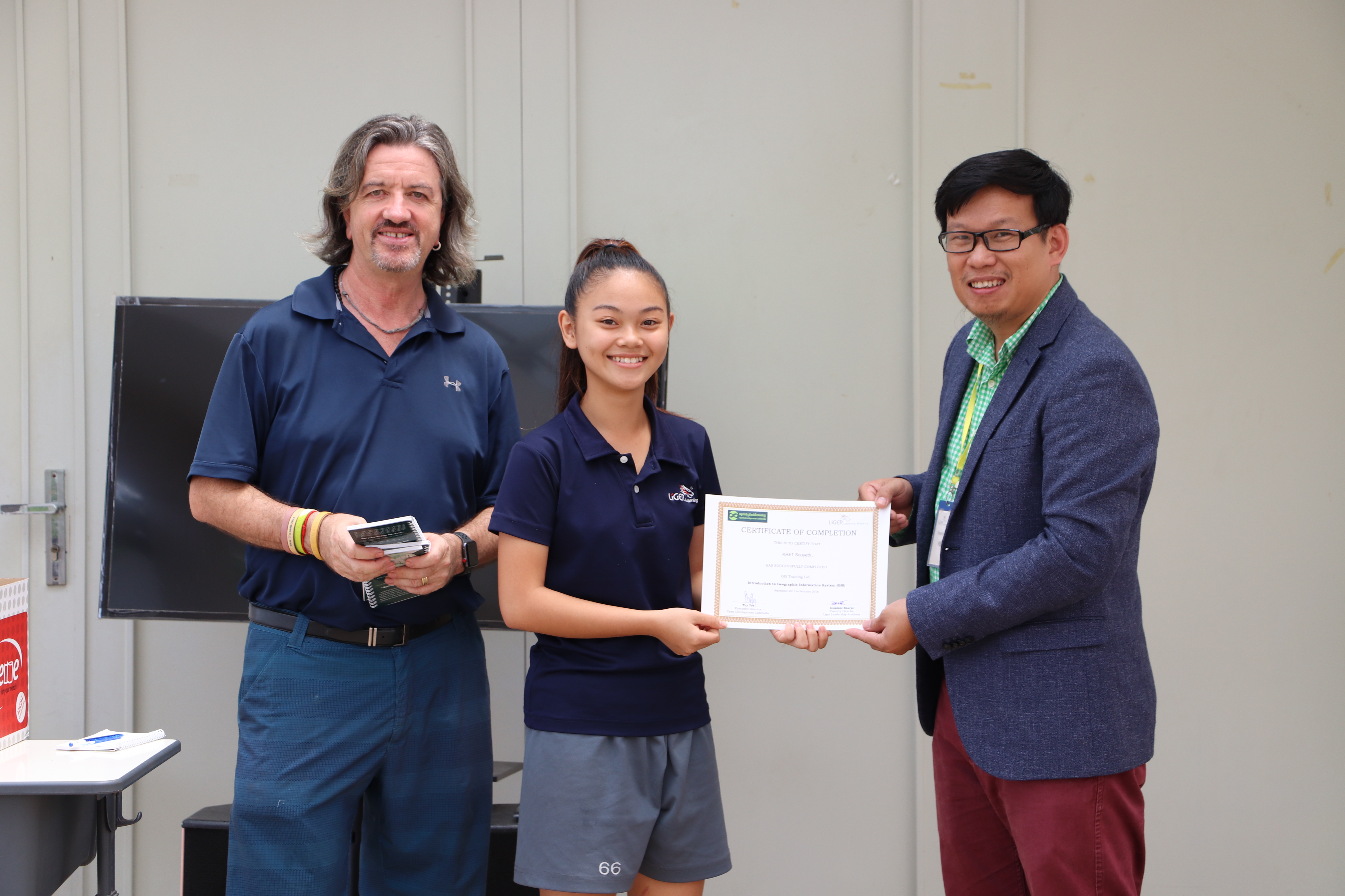
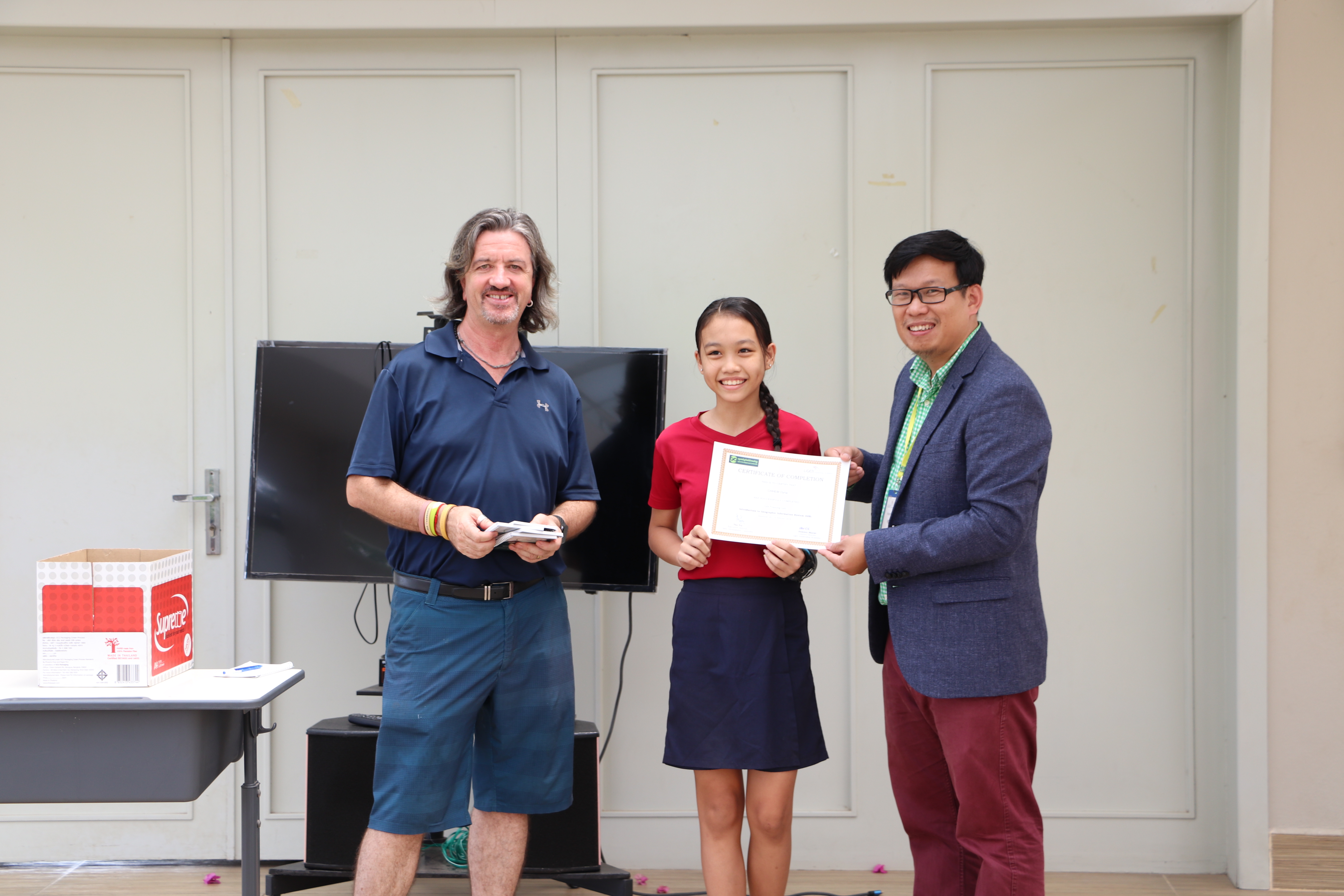
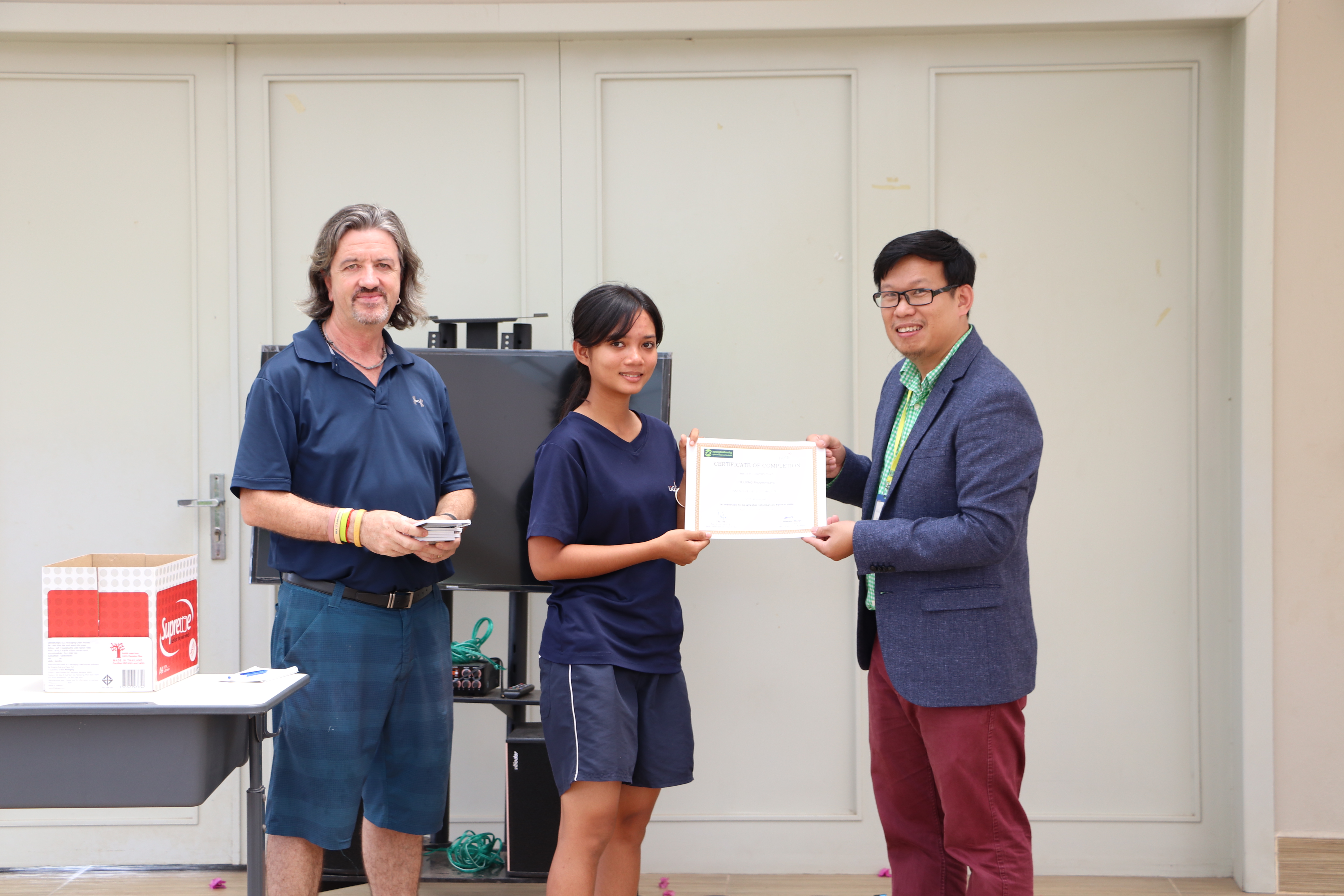
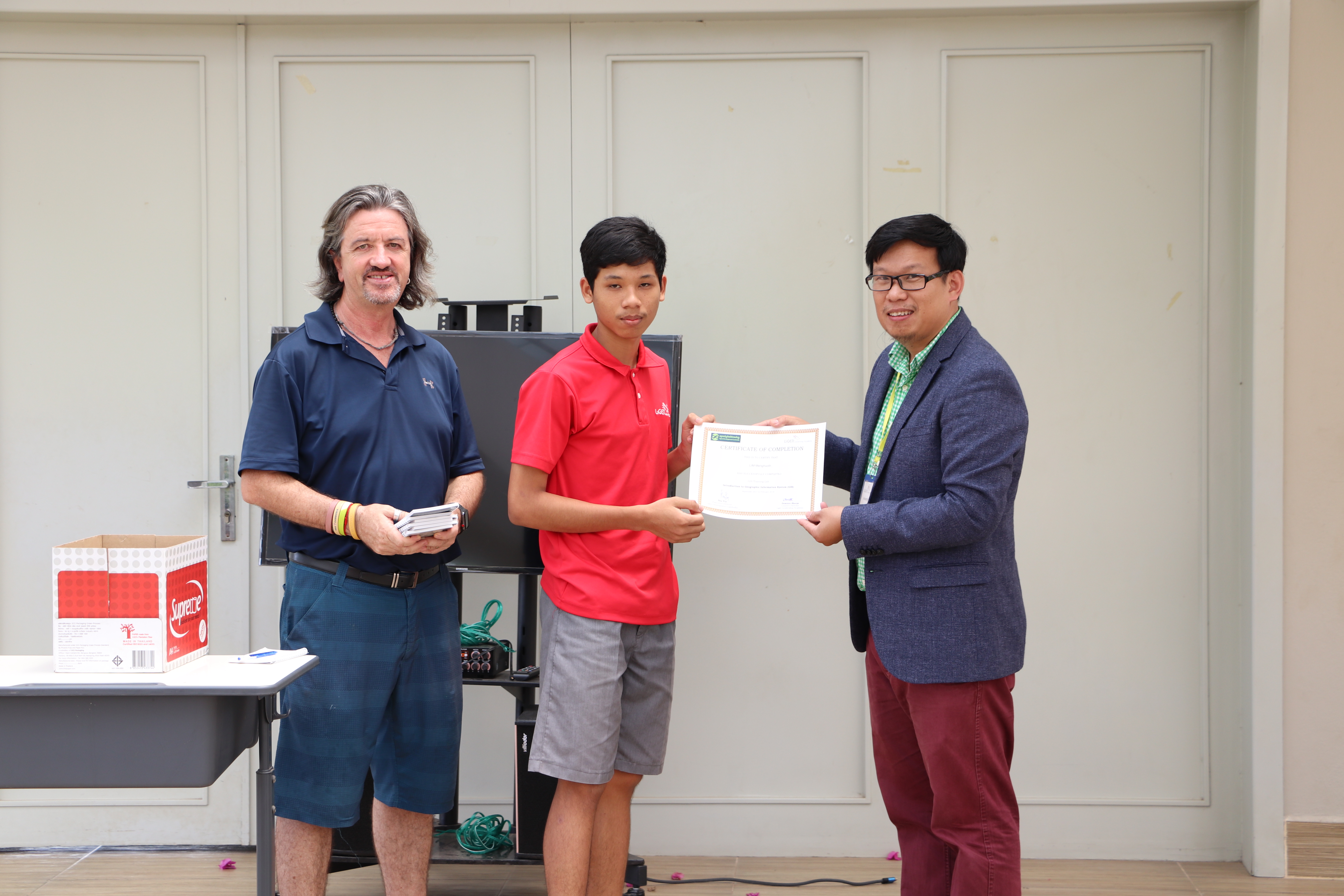
ក្នុងពេលចែកវិញ្ញាបនបត្រនេះ នាយកប្រតិបត្តិរបស់អង្គការអូឌីស៊ី លោកធី ទ្រី បាននិយាយពីទំនាក់ទំនងរវាង សាលាឡៃហ្គឺ និង អូឌីស៊ី ថា <<យើងសង្ឃឹមថា ការបណ្តុះបណ្តាលនេះផ្តល់ប្រយោជន៍ដល់ការងាររបស់អ្នក និងសម្រាប់អាជីពនាពេលអនាគតរបស់អ្នក។ ប៉ុន្តែយើងក៏បានរៀនពីអ្នក ក្នុងកំឡុងពេលហ្វឹកហាត់នេះដែរ។ យើងទទួលបានបទពិសោធន៍យ៉ាងច្រើនពីវគ្គបណ្តុះបណ្តាលនេះ ហើយសង្ឃឹមថា នឹងបន្តកិច្ចសហការនេះក្នុងរយៈពេលយូរ>>។
លោក Dominic Sharpe នាយករបស់សាលាអន្តរជាតិឡៃហ្គឺ (Liger) បានបញ្ជាក់ពីក្តីសង្ឃឹមរបស់លោកថា <<យើងសប្បាយរីករាយណាស់ ចំពោះធនធានដែលអូឌីស៊ីបានផ្តល់ឱ្យយើងបានទទួលនូវបទពិសោធន៍ជាច្រើនពីកម្មវិធីហ្វឹកហ្វឺននេះ ហើយសង្ឃឹមថា នឹងបន្តពង្រីកកិច្ចសហប្រតិបត្តិការ ODC-Liger ក្នុងរយៈពេលវែងផងដែរ។ យើងសូមថ្លែងអំណរគុណយ៉ាងជ្រាលជ្រៅដល់អូឌីស៊ី!>>។ ការជជែកលើកដំបូង ពីកិច្ចសហការនាពេលអនាគត ស្ថាប័នទាំងពីរត្រូវបានគ្រោងទុកនាពេលអនាគត។
បន្ទាប់ពីការចែកវិញ្ញាបនបត្រ អូឌីស៊ី ឆ្លៀតឱកាសសន្ទនាជាមួយសិស្សមួយចំនួនអំពីការបណ្តុះបណ្តាល GIS នេះ។ ការបរិយាយ របស់សិស្សៗ គឺជាសក្ខីភាពបញ្ជាក់ពីភាពជោគជ័យនៃគម្រោងទាំងមូល៖
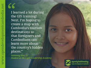
កុមារី ហ៊ សំណាង សិស្សដែលមានអាយុ ១៥ឆ្នាំ បានស្រូបយកចំណេះដឹងយ៉ាងច្រើន អំឡុងពេលហ្វឹកហាត់ ដូចដែលប្អូនបានបញ្ជាក់នៅក្នុងបទសម្ភាសន៍។ បើទោះបីជាប្អូនមិនដឹងអ្វីទាល់តែសោះអំពីការគូសផែនទីមុនពេលហ្វឹកហាត់ក៏ដោយ ក៏ប្អូនបានស្វែងយល់ពីវា ដោយការចង់ដឹងចង់ឃើញ។ ដំបូងប្អូនស្រីគិតថា <<ប្រហែលជាខ្ញុំគួរតែសាកល្បង>> ហើយប្អូនក៏បានចូលរួមក្នុងវគ្គបណ្ដុះបណ្ដាលនេះ។ នៅពេលដែលប្អូនចាប់ផ្តើមដឹងពីឧបករណ៍គូសផែនទី ប្អូនក៏មានចំណាប់អារម្មណ៍នឹងជំនាញដែលបានរៀននេះកាន់តែខ្លាំង។ បន្ទាប់ពីបញ្ចប់វគ្គបណ្តុះបណ្តាលនេះ ប្អូនមានផែនការធ្វើផែនទីនាពេលអនាគត ហើយប្អូននិយាយដោយមានមោទនភាពថា៖ <<ខ្ញុំសង្ឃឹមថានឹងបង្កើតផែនទីមួយ បង្ហាញពីតំបន់ទេសចរណ៍នៅកម្ពុជា ដើម្បីឱ្យជនបរទេស និងប្រជាជនកម្ពុជាអាចរៀនបន្ថែមទៀតអំពីទីកន្លែងដែលមិនធ្លាប់ទៅដល់ក្នុងប្រទេសនេះ>>។
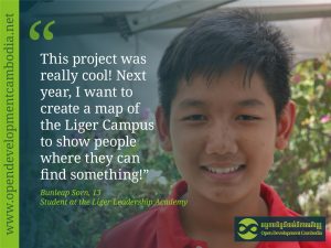
កុមារា ស៊ន ប៊ុនលាប បានសង្ខេបបទពិសោធរបស់គាត់ជាមួយការបណ្តុះបណ្តាល GIS “គម្រោងនេះពិតជាអស្ចារ្យណាស់” ។ មុនពេលធ្វើសិក្ខាសាលា ប្អូនដឹងតែអំពីកម្មវិធីដែលត្រូវបង់ថ្លៃប៉ុណ្ណោះ ប៉ុន្តែអង្គការអូឌីស៊ី បានបង្ហាញប្អូនពីរបៀបប្រើកម្មវិធីឥតគិតថ្លៃសម្រាប់ការធ្វើផែនទី។ ប្អូនប្រុសពិតជាសប្បាយចិត្តដែលប្អូនបានដឹងអំពីលក្ខណៈពិសេសរបស់ GIS ដូចជាឧបករណ៍ច្រឹបដែលអនុញ្ញាតឱ្យគាត់ផ្តោតលើខេត្តជាក់លាក់ណាមួយ។ ប្អូនប្រុសបានបន្ថែមទៀតថា <<ខ្ញុំអាចប្រើជំនាញទាំងនេះសម្រាប់វត្ថុជាច្រើននាពេលអនាគត>> ហើយបន្ថែមគំនិតរបស់ប្អូនសម្រាប់គម្រោងគូសផែនទីនាពេលអនាគតថា <<ឆ្នាំក្រោយខ្ញុំចង់បង្កើតផែនទីនៃសាលាអន្តរជាតិឡៃហ្គឺ ដើម្បីបង្ហាញពីទីកន្លែងដែលពួកគេអាចរកឃើញអ្វីមួយ>>។
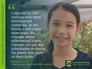
កុមារី លឹម ម៉ូលីណាកា អាយុ ១៣ ឆ្នាំជាសិស្សថ្នាក់ទី ៥ បានពន្យល់ថា <<មុនពេលការហ្វឹកហាត់នេះ ខ្ញុំមិនដែលធ្វើផែនទីទេ ព្រោះខ្ញុំមិនស្គាល់កម្មវិធី>>។ ឥឡូវនេះ បន្ទាប់ពីប្អូនស្រីបានទទួលការបង្ហាត់បង្រៀនអំពីការធ្វើផែនទីដោយជោគជ័យមក ស្ថានភាពនេះមិនអាចមានលក្ខណៈខុសប្លែកពីគេឡើយ។ សិស្សនៃសាលាអន្តរជាតិឡៃហ្គឺ បានបង្កើតគំនិតខ្លះសម្រាប់ផែនទីនាពេលអនាគត ដែលប្អូនចង់ធ្វើការលើ ពិតណាស់បន្ទាប់ពីថ្នាក់រៀនរបស់ប្អូននឹងបញ្ចប់សៀវភៅអំពីភូមិសាស្ត្ររបស់ប្រទេសកម្ពុជា។ <<ផែនទីបន្ទាប់របស់ខ្ញុំនឹងមានប្រភេទដីផ្សេងៗគ្នានៅក្នុងប្រទេសកម្ពុជា។ ចំពោះកសិករ វាមានសារៈសំខាន់ណាស់ក្នុងការរៀនសូត្រអំពីដីរបស់ពួកគេ ដូច្នេះពួកគេដឹងថាអ្វីដែលអាចដុះលូតលាស់ល្អបំផុត>>។
